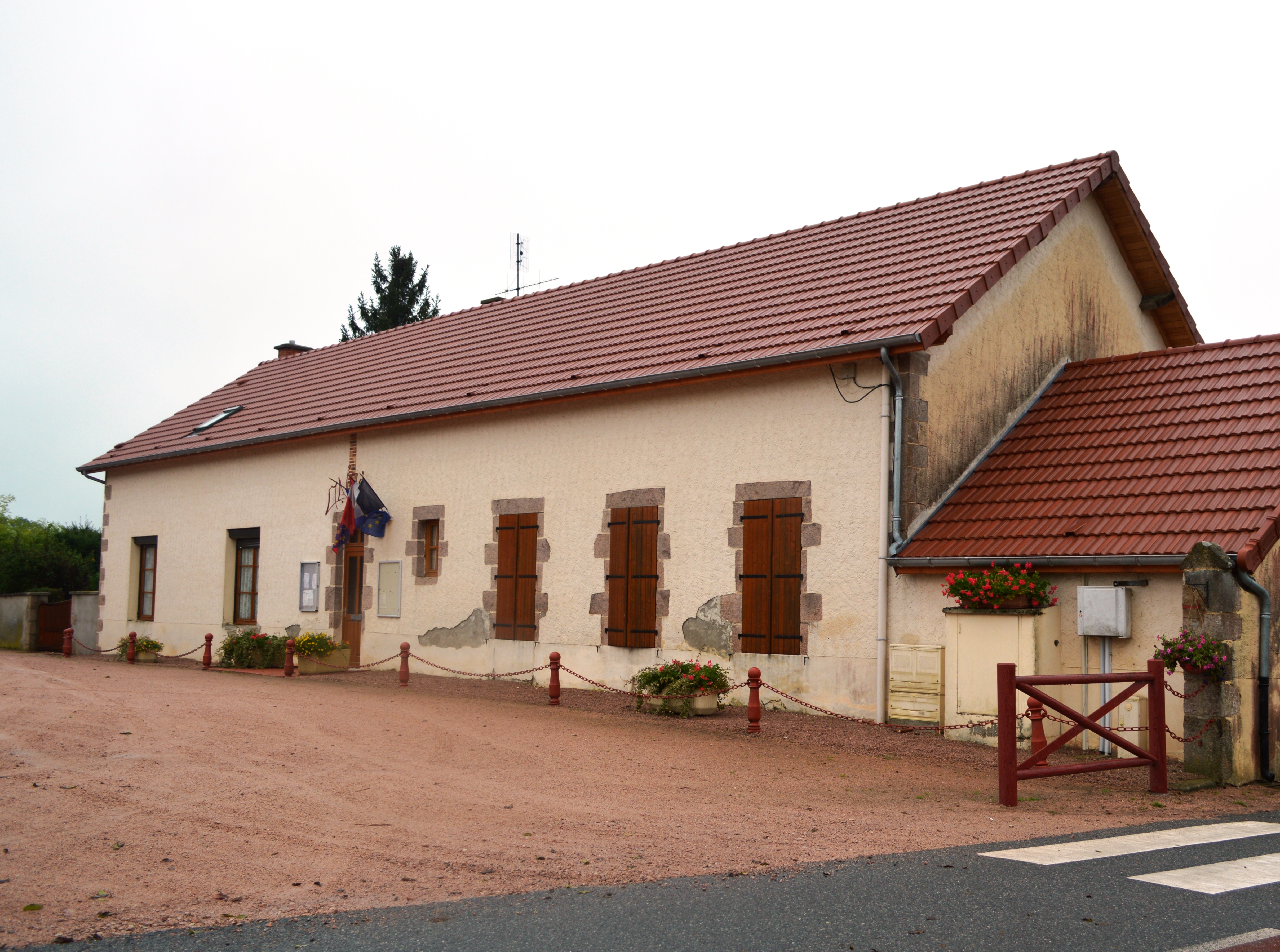
Andelaroche on:
[Wikipedia]
[Google]
[Amazon]
Andelaroche () is a
/ref> The ''Andan'' river forms the south-western border of the commune, the ''Ruisseau de Maupes'' forms the north-western border, and the ''Ruisseau de l'Etang Civette'' forms part of the eastern border. Numerous other streams criss-cross the commune with many small lakes.
 List of Successive Mayors
List of Mayors of France
/ref>

 *There is a church of Romanesque origin but much altered in the 19th century. It is now a composite structure that has lost its original appearance.
File:Andelaroche Street.JPG, A street in Andelaroche
File:Andelaroche Landscape.JPG, Andelaroche Landscape
File:Andelaroche Wayside Cross.JPG, A Wayside Cross in Andelaroche
commune
A commune is an alternative term for an intentional community. Commune or comună or comune or other derivations may also refer to:
Administrative-territorial entities
* Commune (administrative division), a municipality or township
** Communes of ...
in the Allier
Allier ( , , ; oc, Alèir) is a department in the Auvergne-Rhône-Alpes region that borders Cher to the west, Nièvre to the north, Saône-et-Loire and Loire to the east, Puy-de-Dôme to the south, and Creuse to the south-west. Named afte ...
department
Department may refer to:
* Departmentalization, division of a larger organization into parts with specific responsibility
Government and military
*Department (administrative division), a geographical and administrative division within a country, ...
in the Auvergne-Rhône-Alpes
Auvergne-Rhône-Alpes (ARA; ; frp, Ôvèrgne-Rôno-Ârpes; oc, Auvèrnhe Ròse Aups; it, Alvernia-Rodano-Alpi) is a region in southeast-central France created by the 2014 territorial reform of French regions; it resulted from the merger of Au ...
region of central France
France (), officially the French Republic ( ), is a country primarily located in Western Europe. It also comprises of Overseas France, overseas regions and territories in the Americas and the Atlantic Ocean, Atlantic, Pacific Ocean, Pac ...
.
The inhabitants of the commune are known as ''Andelarochois'' or ''Andelarochoises''.
Geography
Andelaroche is located some east of Lapalisse and some west ofMarcigny
Marcigny () is a commune in the Saône-et-Loire department in the region of Bourgogne-Franche-Comté in eastern France.
History
Marcigny was the site of the first Cluniac nunnery, founded in 1056. St Anselm was unsuccessful in attempting to e ...
. The D990/D994 road passes through the west of the commune from south-west to north-east. Access to the village is by the minor D424 road from Barrais-Bussolles
Barrais-Bussolles () is a commune in the Allier department in the Auvergne-Rhône-Alpes region of central France.
The inhabitants of the commune are known as ''Barraisiens'' or ''Barraisiennes''.
Geography
Barrais-Bussolles is located some s ...
in the north through the commune and the village then continuing south-east to Saint-Martin-d'Estreaux. The minor D470 road also goes from the village south-west to Droiturier. The commune is mostly farmland with a large forest in the south-east, the Bois de Saint Pierre in the centre, and a few isolated patches of forest towards the north.Google Maps/ref> The ''Andan'' river forms the south-western border of the commune, the ''Ruisseau de Maupes'' forms the north-western border, and the ''Ruisseau de l'Etang Civette'' forms part of the eastern border. Numerous other streams criss-cross the commune with many small lakes.
Neighbouring communes and villages
Administration
/ref>
Population
Sites and monuments
Andelaroche Picture Gallery
See also
*Communes of the Allier department
The following is a list of the 317 communes of the Allier department of France.
Intercommunalities
The communes cooperate in the following intercommunalities (as of 2020):Andelaroche on the National Geographic Institute website
Andelaroche on Géoportail
National Geographic Institute (IGN) website
''Ande la Roche'' on the 1750 Cassini Map
{{authority control Communes of Allier Bourbonnais
Andelaroche on Géoportail
National Geographic Institute (IGN) website
''Ande la Roche'' on the 1750 Cassini Map
{{authority control Communes of Allier Bourbonnais