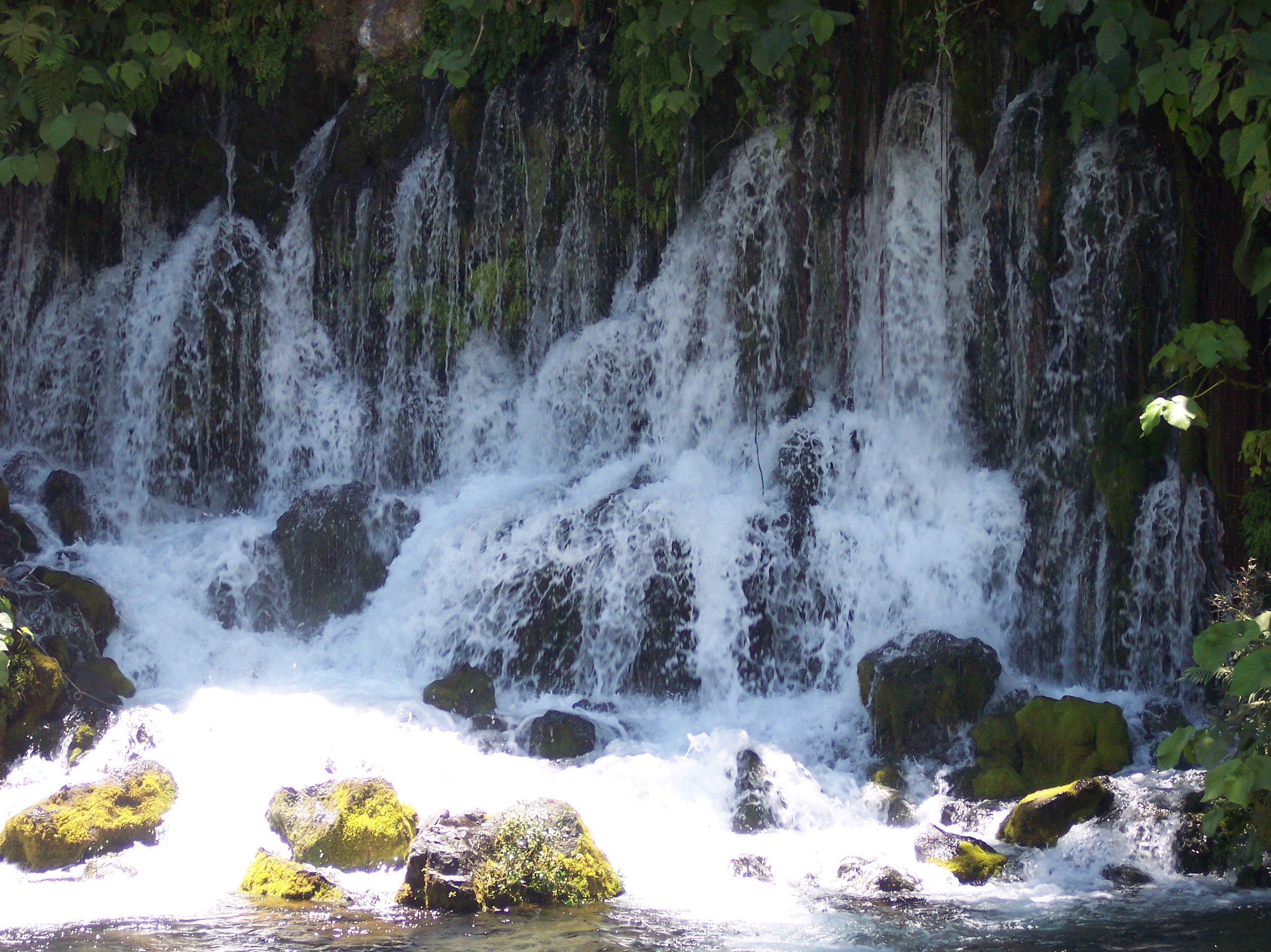
Actopan Municipality, Veracruz on:
[Wikipedia]
[Google]
[Amazon]
 Actopan Municipality is a municipality located in the montane central zone in the State of
Municipal Official Site
*
Municipal Official Information
Municipalities of Veracruz {{Veracruz-geo-stub
 Actopan Municipality is a municipality located in the montane central zone in the State of
 Veracruz
Veracruz (), formally Veracruz de Ignacio de la Llave (), officially the Free and Sovereign State of Veracruz de Ignacio de la Llave ( es, Estado Libre y Soberano de Veracruz de Ignacio de la Llave), is one of the 31 states which, along with Me ...
, about 50 km from state capital Xalapa
Xalapa or Jalapa (, ), officially Xalapa-Enríquez (), is the capital city of the Mexican state of Veracruz and the name of the surrounding municipality. In the 2005 census the city reported a population of 387,879 and the municipality of which ...
. It has a surface of 822.54 km2. It is located at . Actopan, the municipal head-board is a small city, located closely of the capital of the state; for its nature, the extraordinary richness of its lands and the determination of its population has placed to this region as one of the most important zones of production of Mango of the State.
Geography
Adjacent municipalities
* Alto Lucero de Gutiérrez Barrios Municipality (north) * Úrsulo Galván Municipality (southeast) * Puente Nacional Municipality (south) * Emiliano Zapata Municipality (southwest) * Naolinco Municipality (west)Major highways
*Mexican Federal Highway 180
Federal Highway 180 is a Mexican Federal Highway that follows Mexico's Gulf and Caribbean Coast from the Mexico-U.S. border at Brownsville, Texas, into Matamoros, Tamaulipas, to the resort city of Cancún, Quintana Roo, in the Yucatán Penins ...
Geographic limits
The municipality of Actopan is delimited to the east by the Golfo de Mexico, to the south by theEmiliano Zapata
Emiliano Zapata Salazar (; August 8, 1879 – April 10, 1919) was a Mexican revolutionary. He was a leading figure in the Mexican Revolution of 1910–1920, the main leader of the people's revolution in the Mexican state of Morelos, and the ins ...
, to the west by the Naolinco
Naolinco is a small city in Veracruz, Mexico. It is named after Guadalupe Victoria, also known as Naolinco de Victoria. It is on Federal Highways 190 and 180. It has borders with Xalapa, Acatlán, Tepetlán, and Coacoatzintla.
Naolinco is kno ...
, and to the north by Alto Lucero. It is watered by the river Actopan, which it is born in Cofre de Perote, ends in the Gulf of Mexico
The Gulf of Mexico ( es, Golfo de México) is an ocean basin and a marginal sea of the Atlantic Ocean, largely surrounded by the North American continent. It is bounded on the northeast, north and northwest by the Gulf Coast of the United ...
, forming the Barra de Chachalacas.
Agriculture
It produces principallymaize
Maize ( ; ''Zea mays'' subsp. ''mays'', from es, maíz after tnq, mahiz), also known as corn (North American and Australian English), is a cereal grain first domesticated by indigenous peoples in southern Mexico about 10,000 years ago. The ...
, beans
A bean is the seed of several plants in the family Fabaceae, which are used as vegetables for human or animal food. They can be cooked in many different ways, including boiling, frying, and baking, and are used in many traditional dishes thr ...
chayote squash and the most important the mango production.
Celebrations
In Actopan , in October takes place the celebration in honor to San Francisco de Asís, Patron of the town, and in December takes place the celebration in honor to Virgen de Guadalupe also a Mexican celebration called El dia de los muertos which means Day Of the dead.Weather
The weather in Actopan is warm and wet all year with rains in summer and autumn.References
External links
*Municipal Official Site
*
Municipal Official Information
Municipalities of Veracruz {{Veracruz-geo-stub