|
Wintry Mix
Rain and snow mixed is precipitation composed of a mixture of rain and partially melted snow. Unlike ice pellets, which are hard, and freezing rain, which is fluid until striking an object where it fully freezes, this precipitation is soft and translucent, but it contains some traces of ice crystals from partially fused snowflakes, also called slush. In any one location, it usually occurs briefly as a transition phase from rain to snow or vice versa, but hits the surface before fully transforming. Its METAR code is RASN or SNRA. Terminology This precipitation type is commonly known as sleet in most Commonwealth countries. However, the United States National Weather Service uses the term ''sleet'' to refer to ice pellets instead. In Ithaca, NY, the term Ithacating is used to describe precipitation made of a mix of rain and snow. Formation This precipitation occurs when the temperature in the lowest part of the atmosphere is slightly above the freezing point of water Th ... [...More Info...] [...Related Items...] OR: [Wikipedia] [Google] [Baidu] |
Lapse Rate
The lapse rate is the rate at which an atmospheric variable, normally temperature in Earth's atmosphere, falls with altitude. ''Lapse rate'' arises from the word ''lapse'', in the sense of a gradual fall. In dry air, the adiabatic lapse rate is 9.8 °C/km (5.4 °F per 1,000 ft). It corresponds to the vertical component of the spatial gradient of temperature. Although this concept is most often applied to the Earth's troposphere, it can be extended to any gravitationally supported parcel of gas. Definition A formal definition from the ''Glossary of Meteorology'' is: :The decrease of an atmospheric variable with height, the variable being temperature unless otherwise specified. Typically, the lapse rate is the negative of the rate of temperature change with altitude change: :\Gamma = -\frac where \Gamma (sometimes L) is the lapse rate given in units of temperature divided by units of altitude, ''T'' is temperature, and ''z'' is altitude. Convection and adiabatic expansio ... [...More Info...] [...Related Items...] OR: [Wikipedia] [Google] [Baidu] |
Snow Or Ice Weather Phenomena
Snow comprises individual ice crystals that grow while suspended in the atmosphere—usually within clouds—and then fall, accumulating on the ground where they undergo further changes. It consists of frozen crystalline water throughout its life cycle, starting when, under suitable conditions, the ice crystals form in the atmosphere, increase to millimeter size, precipitate and accumulate on surfaces, then metamorphose in place, and ultimately melt, slide or sublimate away. Snowstorms organize and develop by feeding on sources of atmospheric moisture and cold air. Snowflakes nucleate around particles in the atmosphere by attracting supercooled water droplets, which freeze in hexagonal-shaped crystals. Snowflakes take on a variety of shapes, basic among these are platelets, needles, columns and rime. As snow accumulates into a snowpack, it may blow into drifts. Over time, accumulated snow metamorphoses, by sintering, sublimation and freeze-thaw. Where the climate is ... [...More Info...] [...Related Items...] OR: [Wikipedia] [Google] [Baidu] |
Precipitation
In meteorology, precipitation is any product of the condensation of atmospheric water vapor that falls under gravitational pull from clouds. The main forms of precipitation include drizzle, rain, sleet, snow, ice pellets, graupel and hail. Precipitation occurs when a portion of the atmosphere becomes saturated with water vapor (reaching 100% relative humidity), so that the water condenses and "precipitates" or falls. Thus, fog and mist are not precipitation but colloids, because the water vapor does not condense sufficiently to precipitate. Two processes, possibly acting together, can lead to air becoming saturated: cooling the air or adding water vapor to the air. Precipitation forms as smaller droplets coalesce via collision with other rain drops or ice crystals within a cloud. Short, intense periods of rain in scattered locations are called showers. Moisture that is lifted or otherwise forced to rise over a layer of sub-freezing air at the surface may be condensed into ... [...More Info...] [...Related Items...] OR: [Wikipedia] [Google] [Baidu] |
Winter Weather
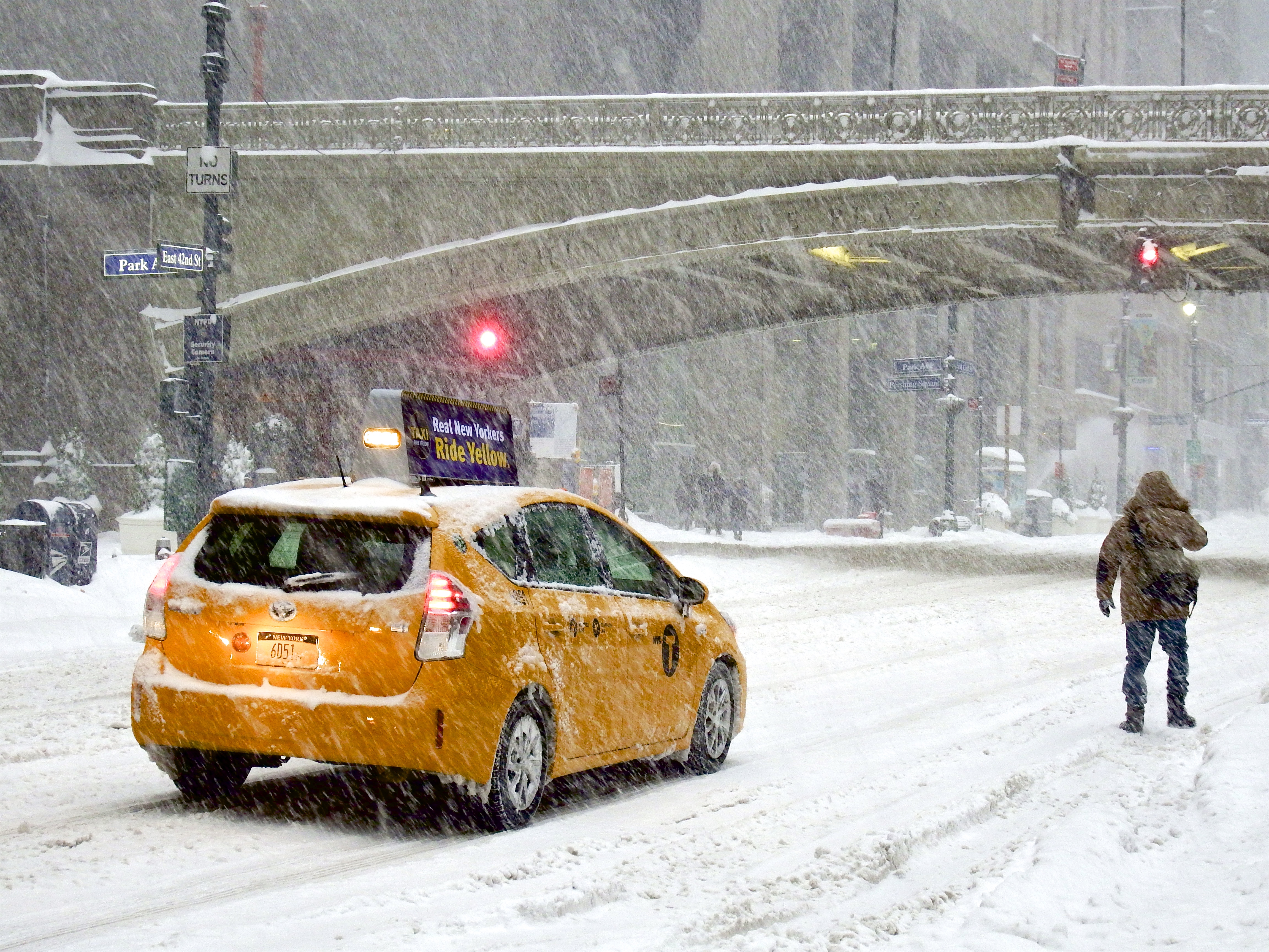
A winter storm is an event in which wind coincides with varieties of precipitation that only occur at freezing temperatures, such as snow, mixed snow and rain, or freezing rain. In temperate continental climates, these storms are not necessarily restricted to the winter season, but may occur in the late autumn and early spring as well. A snowstorm with strong winds and other conditions meeting certain criteria is called a blizzard. Formation Winter storms are formed when moist air rises up into the atmosphere, creating low pressure near the ground and clouds up in the air. The air can also be pushed upwards by hills or large mountains. The upward motion is called lift. The moisture is collected by the wind from large bodies of water, such as a big lake or the ocean. If temperature is below freezing, , near the ground and up in the clouds, precipitation will fall as snow, ice, rain and snow mixed (sleet), ice pellets or even graupel (soft hail). Since cold air can not hold a ... [...More Info...] [...Related Items...] OR: [Wikipedia] [Google] [Baidu] |
Slush
Slush, also called slush ice, is a slurry mixture of small ice crystals (e.g., snow) and liquid water. In the natural environment, slush forms when ice or snow melts or during mixed precipitation. This often mixes with dirt and other pollutants on the surface, resulting in a gray or muddy brown color. Often, solid ice or snow can block the drainage of fluid water from slushy areas, so slush often goes through multiple freeze/thaw cycles before being able to completely drain and disappear. In areas where road salt is used to clear roadways, slush forms at lower temperatures in salted areas than it would ordinarily. This can produce a number of different consistencies over the same geographical area with scattered salted areas covered with slush and others covered with frozen precipitation . Hazards Because slush behaves like a non-Newtonian fluid, which means it behaves like a mostly solid mass until its inner shear forces rise beyond a specific threshold and beyond can ... [...More Info...] [...Related Items...] OR: [Wikipedia] [Google] [Baidu] |
Sleet (other)
{{disambiguation ...
Sleet is a regionally variant term for some meteorological phenomena: *Ice pellets, pellets of ice composed of frozen raindrops or refrozen melted snowflakes (United States) * Rain and snow mixed, snow that partially melts as it falls (UK, Ireland, Canada, and most Commonwealth countries) * Glaze, a smooth coating of ice formed on objects by freezing rain. See also * Freezing rain *Ice storm *Graupel *Snow *Hail Hail is a form of solid precipitation. It is distinct from ice pellets (American English "sleet"), though the two are often confused. It consists of balls or irregular lumps of ice, each of which is called a hailstone. Ice pellets generally fal ... [...More Info...] [...Related Items...] OR: [Wikipedia] [Google] [Baidu] |
Ice Pellets
Ice pellets are a form of precipitation consisting of small, hard, translucent balls of ice. Ice pellets are different from graupel ("soft hail") which is made of frosty white opaque rime, and from a mixture of rain and snow which is a slushy liquid or semisolid. Ice pellets often bounce when they hit the ground or other solid objects, and make a higher-pitched "tap" when striking objects like jackets, windshields, and dried leaves, compared to the dull splat of liquid raindrops. Pellets generally do not freeze into other solid masses unless mixed with freezing rain. The METAR code for ice pellets is PL (PE before November 1998). Terminology Ice pellets are known as sleet in the United States, the official term used by the U.S. National Weather Service. However, the term sleet refers to a mixture of rain and snow in most Commonwealth countries instead, including Canada. Because of this, Environment Canada never uses the term ''sleet'', and uses the terms "ice pellets ... [...More Info...] [...Related Items...] OR: [Wikipedia] [Google] [Baidu] |
Freezing Rain
Freezing rain is rain maintained at temperatures below freezing by the ambient air mass that causes freezing on contact with surfaces. Unlike a mixture of rain and snow or ice pellets, freezing rain is made entirely of liquid droplets. The raindrops become supercooled while passing through a sub-freezing layer of air hundreds of meters above the ground, and then freeze upon impact with any surface they encounter, including the ground, trees, electrical wires, aircraft, and automobiles. The resulting ice, called glaze ice, can accumulate to a thickness of several centimeters and cover all exposed surfaces. The METAR code for freezing rain is FZRA. A storm that produces a significant thickness of glaze ice from freezing rain is often referred to as an ice storm. Although these storms are not particularly violent, freezing rain is notorious for causing travel problems on roadways, breaking tree limbs, and downing power lines from the weight of accumulating ice. Downed power line ... [...More Info...] [...Related Items...] OR: [Wikipedia] [Google] [Baidu] |
Warm Front
A warm front is a density discontinuity located at the leading edge of a homogeneous warm air mass, and is typically located on the equator-facing edge of an isotherm gradient. Warm fronts lie within broader troughs of low pressure than cold fronts, and move more slowly than the cold fronts which usually follow because cold air is denser and less easy to remove from the Earth's surface. This also forces temperature differences across warm fronts to be broader in scale. Clouds ahead of the warm front are mostly stratiform, and rainfall defiantly increases as the front approaches. Fog can also occur preceding a warm frontal passage. Clearing and warming is usually rapid after frontal passage. If the warm air mass is unstable, thunderstorms may be embedded among the stratiform clouds ahead of the front, and after frontal passage thundershowers may continue. On weather maps, the surface location of a warm front is marked with a red line of semicircles pointing in the directio ... [...More Info...] [...Related Items...] OR: [Wikipedia] [Google] [Baidu] |
Precipitation (meteorology)
In meteorology, precipitation is any product of the condensation of atmospheric water vapor that falls under gravitational pull from clouds. The main forms of precipitation include drizzle, rain, sleet, snow, ice pellets, graupel and hail. Precipitation occurs when a portion of the atmosphere becomes saturated with water vapor (reaching 100% relative humidity), so that the water condenses and "precipitates" or falls. Thus, fog and mist are not precipitation but colloids, because the water vapor does not condense sufficiently to precipitate. Two processes, possibly acting together, can lead to air becoming saturated: cooling the air or adding water vapor to the air. Precipitation forms as smaller droplets coalesce via collision with other rain drops or ice crystals within a cloud. Short, intense periods of rain in scattered locations are called showers. Moisture that is lifted or otherwise forced to rise over a layer of sub-freezing air at the surface may be conden ... [...More Info...] [...Related Items...] OR: [Wikipedia] [Google] [Baidu] |
Graupel
Graupel (; ), also called soft hail, hominy snow, or snow pellets, is precipitation that forms when supercooled water droplets in air are collected and freeze on falling snowflakes, forming balls of crisp, opaque rime. Graupel is distinct from hail and ice pellets, in regards to their formation and appearance. However, both hail and graupel are common in thunderstorms with cumulonimbus clouds, though graupel also falls in winter storms, and at higher elevations as well. The METAR code for graupel is GS. Formation Under some atmospheric conditions, snow crystals may encounter supercooled water droplets. These droplets, which have a diameter of about on average, can exist in the liquid state at temperatures as low as , far below the normal freezing point as long as above the homogeneous nucleation point of water. Contact between a snow crystal and the supercooled droplets results in freezing of the liquid droplets onto the surface of the crystal. This process of cryst ... [...More Info...] [...Related Items...] OR: [Wikipedia] [Google] [Baidu] |


