|
The Wetlands Initiative
The Wetlands Initiative (TWI) is a non-profit conservation organization headquartered in Chicago, Illinois, United States. The Wetlands Initiative works with nonprofit and government partners and local communities to advance wetland restoration and science in the Midwestern United States. The organizational vision of TWI is: "A world with plentiful healthy wetlands improving water quality, climate, biodiversity, and human well-being." History The Wetlands Initiative was incorporated in 1994 and operations began in 1995. In 2020, TWI celebrated its 25th anniversary with the release of two short films, including a celebration of co-founder Al Pyott, who died in June 2020. "Wetlands: Havens of Life" is an original video essay by author and naturalist Julian Hoffman, who was to serve as keynote speaker at a 25th-anniversary event that had been called off due to the COVID-19 pandemic. Projects The Wetlands Initiative owns and manages the Dixon Waterfowl Refuge just outside of Hennep ... [...More Info...] [...Related Items...] OR: [Wikipedia] [Google] [Baidu] |
Midwestern United States
The Midwestern United States, also referred to as the Midwest or the American Midwest, is one of four census regions of the United States Census Bureau (also known as "Region 2"). It occupies the northern central part of the United States. It was officially named the North Central Region by the Census Bureau until 1984. It is between the Northeastern United States and the Western United States, with Canada to the north and the Southern United States to the south. The Census Bureau's definition consists of 12 states in the north central United States: Illinois, Indiana, Iowa, Kansas, Michigan, Minnesota, Missouri, Nebraska, North Dakota, Ohio, South Dakota, and Wisconsin. The region generally lies on the broad Interior Plain between the states occupying the Appalachian Mountain range and the states occupying the Rocky Mountain range. Major rivers in the region include, from east to west, the Ohio River, the Upper Mississippi River, and the Missouri River. ... [...More Info...] [...Related Items...] OR: [Wikipedia] [Google] [Baidu] |
Dolomite (rock)
Dolomite (also known as dolomite rock, dolostone or dolomitic rock) is a sedimentary carbonate rock that contains a high percentage of the mineral dolomite, CaMg(CO3)2. It occurs widely, often in association with limestone and evaporites, though it is less abundant than limestone and rare in Cenozoic rock beds (beds less than about 66 million years in age). The first geologist to distinguish dolomite rock from limestone was Belsazar Hacquet in 1778. Most dolomite was formed as a magnesium replacement of limestone or of lime mud before lithification. The geological process of conversion of calcite to dolomite is known as dolomitization and any intermediate product is known as dolomitic limestone. The "dolomite problem" refers to the vast worldwide depositions of dolomite in the past geologic record in contrast to the limited amounts of dolomite formed in modern times. Recent research has revealed sulfate-reducing bacteria living in anoxic conditions precipitate dolomite which ind ... [...More Info...] [...Related Items...] OR: [Wikipedia] [Google] [Baidu] |
Bureau County, Illinois
Bureau County is a county located in the U.S. state of Illinois. As of the 2010 United States Census, the population was 34,978. Its county seat is Princeton. Bureau County is part of the Ottawa, IL Micropolitan Statistical Area, and the Hennepin Canal Parkway State Park is located partly in this county. History Bureau County was created from a portion of Putnam County in 1837. It is named for brothers Michel and Pierre Bureau, French Canadians who ran a trading post from 1776 until the 1780s near the conjunction of Big Bureau Creek with Illinois River. Their actual surname most likely was Belleau, but the local American Indians had difficulty pronouncing the "l" sound, which was not found in some local languages. An early settler of this area was Bulbona, a man of mixed French and Native American descent with a Native American wife. Unlike most of the other Native Americans in the area, Bulbona remained after the area was settled by Euro-Americans and ran a trading post, where ... [...More Info...] [...Related Items...] OR: [Wikipedia] [Google] [Baidu] |
Constructed Wetlands
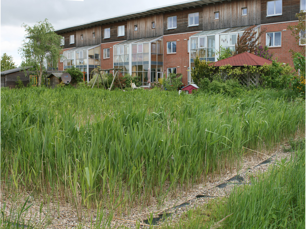
A constructed wetland is an artificial wetland to treat sewage, greywater, stormwater runoff or industrial wastewater. It may also be designed for land reclamation after mining, or as a mitigation step for natural areas lost to land development. Constructed wetlands are engineered systems that use the natural functions of vegetation, soil, and organisms to provide secondary treatment to wastewater. The design of the constructed wetland has to be adjusted according to the type of wastewater to be treated. Constructed wetlands have been used in both centralized and decentralized wastewater systems. Primary treatment is recommended when there is a large amount of suspended solids or soluble organic matter (measured as biochemical oxygen demand and chemical oxygen demand). Similar to natural wetlands, constructed wetlands also act as a biofilter and/or can remove a range of pollutants (such as organic matter, nutrients, pathogens, heavy metals) from the water. Constructed wetlands are ... [...More Info...] [...Related Items...] OR: [Wikipedia] [Google] [Baidu] |
Dead Zone (ecology)
Dead zones are hypoxic (low-oxygen) areas in the world's oceans and large lakes. Hypoxia occurs when dissolved oxygen (DO) concentration falls to or below 2 mg of O2/liter. When a body of water experiences hypoxic conditions, aquatic flora and fauna begin to change behavior in order to reach sections of water with higher oxygen levels. Once DO declines below 0.5 ml O2/liter in a body of water, mass mortality occurs. With such a low concentration of DO, these bodies of water fail to support the aquatic life living there. Historically, many of these sites were naturally occurring. However, in the 1970s, oceanographers began noting increased instances and expanses of dead zones. These occur near inhabited coastlines, where aquatic life is most concentrated. In March 2004, when the recently established UN Environment Programme published its first Global Environment Outlook Year Book (''GEO Year Book 2003''), it reported 146 dead zones in the world's oceans where marine life cou ... [...More Info...] [...Related Items...] OR: [Wikipedia] [Google] [Baidu] |
Gulf Coast
The Gulf Coast of the United States, also known as the Gulf South, is the coastline along the Southern United States where they meet the Gulf of Mexico. The coastal states that have a shoreline on the Gulf of Mexico are Texas, Louisiana, Mississippi, Alabama, and Florida, and these are known as the ''Gulf States''. The economy of the Gulf Coast area is dominated by industries related to energy, petrochemicals, fishing, aerospace, agriculture, and tourism. The large cities of the region are (from west to east) Brownsville, Corpus Christi, Houston, Galveston, Beaumont, Lake Charles, Lafayette, Baton Rouge, New Orleans, Gulfport, Biloxi, Mobile, Pensacola, Navarre, St. Petersburg, and Tampa. All are the centers or major cities of their respective metropolitan areas and many of which contain large ports. Geography The Gulf Coast is made of many inlets, bays, and lagoons. The coast is intersected by numerous rivers, the largest of which is the Mississippi River. Much of the la ... [...More Info...] [...Related Items...] OR: [Wikipedia] [Google] [Baidu] |
Agricultural Runoff
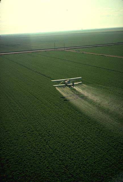
Agricultural pollution refers to biotic and abiotic byproducts of farming practices that result in contamination or degradation of the environment and surrounding ecosystems, and/or cause injury to humans and their economic interests. The pollution may come from a variety of sources, ranging from point source water pollution (from a single discharge point) to more diffuse, landscape-level causes, also known as non-point source pollution and air pollution. Once in the environment these pollutants can have both direct effects in surrounding ecosystems, i.e. killing local wildlife or contaminating drinking water, and downstream effects such as dead zones caused by agricultural runoff is concentrated in large water bodies. Management practices, or ignorance of them, play a crucial role in the amount and impact of these pollutants. Management techniques range from animal management and housing to the spread of pesticides and fertilizers in global agricultural practices. Bad manag ... [...More Info...] [...Related Items...] OR: [Wikipedia] [Google] [Baidu] |
Slag
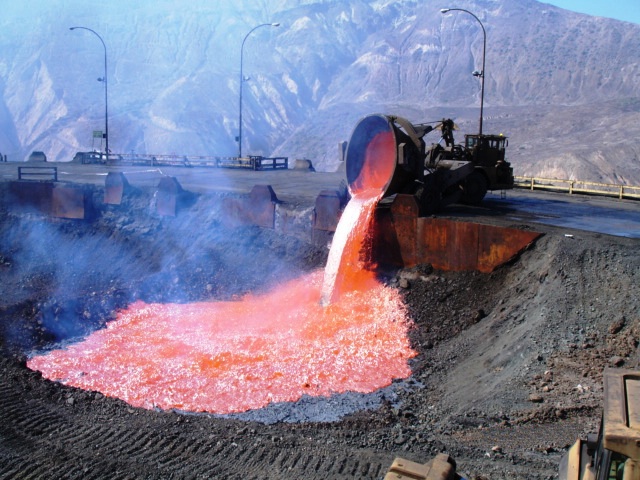
Slag is a by-product of smelting (pyrometallurgical) ores and used metals. Broadly, it can be classified as ferrous (by-products of processing iron and steel), ferroalloy (by-product of ferroalloy production) or non-ferrous/base metals (by-products of recovering non-ferrous materials like copper, nickel, zinc and phosphorus). Within these general categories, slags can be further categorized by their precursor and processing conditions (e.g., Blast furnace (BF) slags, air-cooled blast furnace (ACBF) slag, basic oxygen furnace (BOF) slag, and electric arc furnace (EAF) slag) . Due to the large demand for these materials, slag production has also significantly increased throughout the years despite recycling (most notably in the iron and steelmaking industries) and upcycling efforts. The World Steel Association (WSA) estimates that 600 kg of by-products (~90 wt% is slags) are generated per tonne of steel produced. Composition Slag is usually a mixture of metal oxides and sili ... [...More Info...] [...Related Items...] OR: [Wikipedia] [Google] [Baidu] |
Prairie
Prairies are ecosystems considered part of the temperate grasslands, savannas, and shrublands biome by ecologists, based on similar temperate climates, moderate rainfall, and a composition of grasses, herbs, and shrubs, rather than trees, as the dominant vegetation type. Temperate grassland regions include the Pampas of Argentina, Brazil and Uruguay, and the steppe of Ukraine, Russia and Kazakhstan. Lands typically referred to as "prairie" tend to be in North America. The term encompasses the area referred to as the Geography of North America, Interior Lowlands of Canada, the United States, and Mexico, which includes all of the Great Plains as well as the wetter, hillier land to the east. In the U.S., the area is constituted by most or all of the states of North Dakota, South Dakota, Nebraska, Kansas, and Oklahoma, and sizable parts of the states of Montana, Wyoming, Colorado, New Mexico, Texas, Missouri, Iowa, Illinois, Indiana, Wisconsin, and western and southern Minnesota. The ... [...More Info...] [...Related Items...] OR: [Wikipedia] [Google] [Baidu] |
Chicago Park District
The Chicago Park District is one of the oldest and the largest park districts in the United States. As of 2016, there are over 600 parks included in the Chicago Park District as well as 27 beaches, several boat harbors, two botanic conservatories, a zoo, and 11 museums. The Chicago Park District also has more than over 230 field houses, 78 public pools, and dozens of sports and recreational facilities, with year-round programming. The district is an independent taxing authority as defined by Illinois State Statute and is considered a separate (or "sister") agency of the City of Chicago. The district's headquarters are located in the Time-Life Building in the Streeterville neighborhood. Jurisdiction The Chicago Park District oversees more than 600 parks with over of municipal parkland as well as 27 beaches, 78 pools, 11 museums, two world-class conservatories, 16 historic lagoons and 10 bird and wildlife gardens that are found within the city limits. A number of these are tou ... [...More Info...] [...Related Items...] OR: [Wikipedia] [Google] [Baidu] |
Calumet Region
The Calumet Region is the geographic area drained by the Grand Calumet River and the Little Calumet River of northeastern Illinois and northwestern Indiana in the United States. It is part of the Great Lakes Basin, which eventually reaches the Atlantic Ocean. It is a sub-region of the greater Northwest Indiana region and the even larger Great Lakes region. This region includes the northern parts of Lake and Porter counties and the western portion of La Porte county in Indiana, as well as the eastern counties of northern Illinois, Will and Cook. Since much of this region is on the south shore of Lake Michigan, it is sometimes referred to as the "South Shore". Because it was initially cut off from the rest of the state due to natural geographic barriers like the Kankakee Marsh to the south, the Calumet Region was the last-settled portion of Indiana. The area is known for its industrial heritage and history as a center for production of steel, minerals and chemicals. The toxic bypr ... [...More Info...] [...Related Items...] OR: [Wikipedia] [Google] [Baidu] |


