|
Tidal Scour
Tidal scour is “sea-floor erosion caused by strong tidal currents resulting in the removal of inshore sediments and formation of deep holes and channels”. Examples of this hydrological process can be found globally. Two locations in the United States where tidal scour is the predominant shaping force is the San Francisco Bay and the Elkhorn Slough.Silberstein 1989 M, Campbell E. 1989. Elkhorn Slough. Monterey, CA: Monterey Bay Aquarium. 64 p. Tidal force can also contribute to bridge scour. Historical Perspective and Relevance Research on tidal scour is largely centered at Elkhorn Slough in California. The slough was directly exposed to tidal flux beginning in 1947 with the creation of the Moss Landing Harbor. Multiple studies have been done on the slough since tidal exposure to catalog the morphological change and determine how long it will take for the system to reach equilibrium. Formation Tidal Scours are formed in tide-dominated deltas and estuaries with the chang ... [...More Info...] [...Related Items...] OR: [Wikipedia] [Google] [Baidu] |
Erosion
Erosion is the action of surface processes (such as water flow or wind) that removes soil, rock, or dissolved material from one location on the Earth's crust, and then transports it to another location where it is deposited. Erosion is distinct from weathering which involves no movement. Removal of rock or soil as clastic sediment is referred to as ''physical'' or ''mechanical'' erosion; this contrasts with ''chemical'' erosion, where soil or rock material is removed from an area by dissolution. Eroded sediment or solutes may be transported just a few millimetres, or for thousands of kilometres. Agents of erosion include rainfall; bedrock wear in rivers; coastal erosion by the sea and waves; glacial plucking, abrasion, and scour; areal flooding; wind abrasion; groundwater processes; and mass movement processes in steep landscapes like landslides and debris flows. The rates at which such processes act control how fast a surface is eroded. Typically, physical ... [...More Info...] [...Related Items...] OR: [Wikipedia] [Google] [Baidu] |
Lidar
Lidar (, also LIDAR, or LiDAR; sometimes LADAR) is a method for determining ranges (variable distance) by targeting an object or a surface with a laser and measuring the time for the reflected light to return to the receiver. It can also be used to make digital 3-D representations of areas on the Earth's surface and ocean bottom of the intertidal and near coastal zone by varying the wavelength of light. It has terrestrial, airborne, and mobile applications. ''Lidar'' is an acronym of "light detection and ranging" or "laser imaging, detection, and ranging". It is sometimes called 3-D laser scanning, a special combination of 3-D scanning and laser scanning. Lidar is commonly used to make high-resolution maps, with applications in surveying, geodesy, geomatics, archaeology, geography, geology, geomorphology, seismology, forestry, atmospheric physics, laser guidance, airborne laser swath mapping (ALSM), and laser altimetry. It is also used in control and navigation for som ... [...More Info...] [...Related Items...] OR: [Wikipedia] [Google] [Baidu] |
Geological Processes
Geology () is a branch of natural science concerned with Earth and other astronomical objects, the features or rocks of which it is composed, and the processes by which they change over time. Modern geology significantly overlaps all other Earth sciences, including hydrology, and so is treated as one major aspect of integrated Earth system science and planetary science. Geology describes the structure of the Earth on and beneath its surface, and the processes that have shaped that structure. It also provides tools to determine the relative and absolute ages of rocks found in a given location, and also to describe the histories of those rocks. By combining these tools, geologists are able to chronicle the geological history of the Earth as a whole, and also to demonstrate the age of the Earth. Geology provides the primary evidence for plate tectonics, the evolutionary history of life, and the Earth's past climates. Geologists broadly study the properties and processes of Earth ... [...More Info...] [...Related Items...] OR: [Wikipedia] [Google] [Baidu] |
Sediment Transport
Sediment transport is the movement of solid particles (sediment), typically due to a combination of gravity acting on the sediment, and/or the movement of the fluid in which the sediment is entrained. Sediment transport occurs in natural systems where the particles are clastic rocks (sand, gravel, boulders, etc.), mud, or clay; the fluid is air, water, or ice; and the force of gravity acts to move the particles along the sloping surface on which they are resting. Sediment transport due to fluid motion occurs in rivers, oceans, lakes, seas, and other bodies of water due to currents and tides. Transport is also caused by glaciers as they flow, and on terrestrial surfaces under the influence of wind. Sediment transport due only to gravity can occur on sloping surfaces in general, including hillslopes, scarps, cliffs, and the continental shelf—continental slope boundary. Sediment transport is important in the fields of sedimentary geology, geomorphology, civil engineering, ... [...More Info...] [...Related Items...] OR: [Wikipedia] [Google] [Baidu] |
Bridge Scour
Bridge scour is the removal of sediment such as sand and gravel from around bridge abutments or piers. Hydrodynamic scour, caused by fast flowing water, can carve out ''scour holes'', compromising the integrity of a structure. In the United States, bridge scour is one of the three main causes of bridge failure (the others being collision and overloading). It has been estimated that 60% of all bridge failures result from scour and other hydraulic-related causes.Mark N. LandersBridge Scour Data Management Published in ''Hydraulic Engineering: Saving a Threatened Resource—In Search of Solutions: Proceedings of the Hydraulic Engineering sessions at Water Forum ’92.'' Baltimore, Maryland, August 2–6, 1992. Published by American Society of Civil Engineers. It is the most common cause of highway bridge failure in the United States, [...More Info...] [...Related Items...] OR: [Wikipedia] [Google] [Baidu] |
Benthos
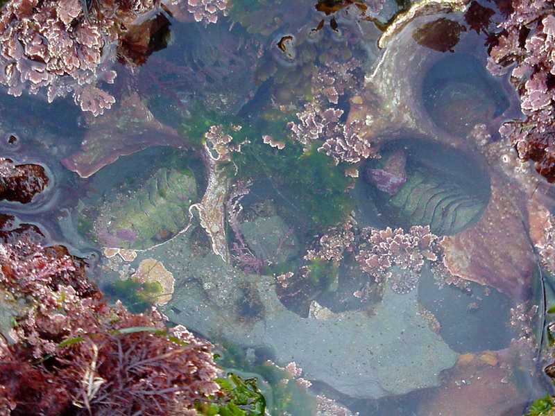
Benthos (), also known as benthon, is the community of organisms that live on, in, or near the bottom of a sea, river, lake, or stream, also known as the benthic zone.Benthos from the Census of Antarctic Marine Life website This community lives in or near marine or freshwater sedimentary environments, from tidal pools along the , out to the continental shelf, and then down to the [...More Info...] [...Related Items...] OR: [Wikipedia] [Google] [Baidu] |
Eelgrass
Eelgrass is a common name for several plants and may refer to: * ''Zostera'', marine eelgrass * ''Vallisneria ''Vallisneria'' (named in honor of Antonio Vallisneri) is a genus of freshwater aquatic plant, commonly called eelgrass, tape grass or vallis. The genus is widely distributed in tropical and subtropical regions of Asia, Africa, Europe, and North ...'', freshwater eelgrass {{Short pages monitor ... [...More Info...] [...Related Items...] OR: [Wikipedia] [Google] [Baidu] |
Agricultural Runoff
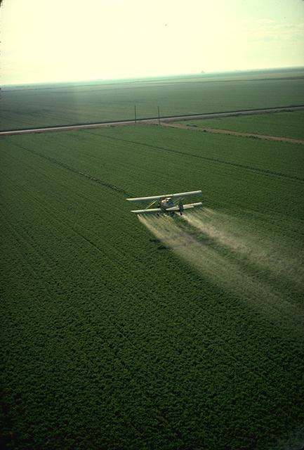
Agricultural pollution refers to biotic and abiotic byproducts of farming practices that result in contamination or degradation of the environment and surrounding ecosystems, and/or cause injury to humans and their economic interests. The pollution may come from a variety of sources, ranging from point source water pollution (from a single discharge point) to more diffuse, landscape-level causes, also known as non-point source pollution and air pollution. Once in the environment these pollutants can have both direct effects in surrounding ecosystems, i.e. killing local wildlife or contaminating drinking water, and downstream effects such as dead zones caused by agricultural runoff is concentrated in large water bodies. Management practices, or ignorance of them, play a crucial role in the amount and impact of these pollutants. Management techniques range from animal management and housing to the spread of pesticides and fertilizers in global agricultural practices. Bad manage ... [...More Info...] [...Related Items...] OR: [Wikipedia] [Google] [Baidu] |
Geomorphology
Geomorphology (from Ancient Greek: , ', "earth"; , ', "form"; and , ', "study") is the scientific study of the origin and evolution of topographic and bathymetric features created by physical, chemical or biological processes operating at or near Earth's surface. Geomorphologists seek to understand why landscapes look the way they do, to understand landform and terrain history and dynamics and to predict changes through a combination of field observations, physical experiments and numerical modeling. Geomorphologists work within disciplines such as physical geography, geology, geodesy, engineering geology, archaeology, climatology, and geotechnical engineering. This broad base of interests contributes to many research styles and interests within the field. Overview Earth's surface is modified by a combination of surface processes that shape landscapes, and geologic processes that cause tectonic uplift and subsidence, and shape the coastal geography. Surface proc ... [...More Info...] [...Related Items...] OR: [Wikipedia] [Google] [Baidu] |
Grain Size
Grain size (or particle size) is the diameter of individual grains of sediment, or the lithified particles in clastic rocks. The term may also be applied to other granular materials. This is different from the crystallite size, which refers to the size of a single crystal inside a particle or grain. A single grain can be composed of several crystals. Granular material can range from very small colloidal particles, through clay, silt, sand, gravel, and cobbles, to boulders. Krumbein phi scale Size ranges define limits of classes that are given names in the Wentworth scale (or Udden–Wentworth scale) used in the United States. The Krumbein ''phi'' (φ) scale, a modification of the Wentworth scale created by W. C. Krumbein in 1934, is a logarithmic scale computed by the equation :\varphi=-\log_2, where :\varphi is the Krumbein phi scale, :D is the diameter of the particle or grain in millimeters (Krumbein and Monk's equation) and :D_0 is a reference diameter, equal to 1&n ... [...More Info...] [...Related Items...] OR: [Wikipedia] [Google] [Baidu] |
Cross-sectional Study
In medical research, social science, and biology, a cross-sectional study (also known as a cross-sectional analysis, transverse study, prevalence study) is a type of observational study that analyzes data from a population, or a representative subset, ''at a specific point in time''—that is, cross-sectional data. In economics, cross-sectional studies typically involve the use of cross-sectional regression, in order to sort out the existence and magnitude of causal effects of one independent variable upon a dependent variable of interest at a given point in time. They differ from time series analysis, in which the behavior of one or more economic aggregates is traced through time. In medical research, cross-sectional studies differ from case-control studies in that they aim to provide data on the entire population under study, whereas case-control studies typically include only individuals who have developed a specific condition and compare them with a matched sample, o ... [...More Info...] [...Related Items...] OR: [Wikipedia] [Google] [Baidu] |
Sonar
Sonar (sound navigation and ranging or sonic navigation and ranging) is a technique that uses sound propagation (usually underwater, as in submarine navigation) to navigate, measure distances ( ranging), communicate with or detect objects on or under the surface of the water, such as other vessels. "Sonar" can refer to one of two types of technology: ''passive'' sonar means listening for the sound made by vessels; ''active'' sonar means emitting pulses of sounds and listening for echoes. Sonar may be used as a means of acoustic location and of measurement of the echo characteristics of "targets" in the water. Acoustic location in air was used before the introduction of radar. Sonar may also be used for robot navigation, and SODAR (an upward-looking in-air sonar) is used for atmospheric investigations. The term ''sonar'' is also used for the equipment used to generate and receive the sound. The acoustic frequencies used in sonar systems vary from very low ( infrasonic) to ex ... [...More Info...] [...Related Items...] OR: [Wikipedia] [Google] [Baidu] |


