|
Population History Of West Africa
The population history of West Africa is composed of West African populations that were considerably mobile and interacted with one another throughout the history of West Africa. Acheulean tool-using archaic humans may have dwelled throughout West Africa since at least between 780,000 BP and 126,000 BP ( Middle Pleistocene). During the Pleistocene, Middle Stone Age peoples (e.g., Iwo Eleru people, possibly Aterians), who dwelled throughout West Africa between MIS 4 and MIS 2 (71-29 kya), were gradually replaced by incoming Late Stone Age peoples, who migrated into West Africa as an increase in humid conditions resulted in the subsequent expansion of the West African forest. West African hunter-gatherers occupied western Central Africa (e.g., Shum Laka) earlier than 32,000 BP, dwelled throughout coastal West Africa by 12,000 BP, and migrated northward between 12,000 BP and 8000 BP as far as Mali, Burkina Faso, and Mauritania. During the Holocene, Niger-Congo speakers i ... [...More Info...] [...Related Items...] OR: [Wikipedia] [Google] [Baidu] |
Round Head Period
Round Head rock art is the earliest painted, monumental form of Central Saharan rock art, which was largely created from 9500 BP to 7500 BP and ceased being created by 3000 BP. The Round Head Period is preceded by the Kel Essuf Period and followed by the Pastoral Period. Round Head rock art number up to several thousand depictions in the Central Sahara. Human and undomesticated animal (e.g., Barbary sheep, antelope) artforms are usually portrayed, with a variety of details (e.g., dancing, ceremonies, masks, spiritual animal forms), in painted Round Head rock art. Painted Round Head rock art and engraved Kel Essuf rock art usually share the same region and occasionally the same rockshelters. The Round Head rock art of Tassili and the surrounding mountainous areas bear considerable similarity with traditional Sub-Saharan African cultures. At the start of 10th millennium BP, amid the Epipaleolithic, the walls of rockshelters (e.g., Tin Torha, Tin Hanakaten) were used as a foundat ... [...More Info...] [...Related Items...] OR: [Wikipedia] [Google] [Baidu] |
Kel Essuf Period
Kel Essuf rock art is the earliest form of engraved anthropomorphic Central Saharan rock art, which was produced prior to 9800 BP, at least as early as 12,000 BP amid the Late Pleistocene, late period of the Pleistocene. The Kel Essuf Period is preceded by the Bubaline Period and followed by the Round Head Period. Kel Essuf rock art usually depicts oval-shaped artforms, which possess four short appendages – two upper appendages, or arms, that may have between three to four finger-like digits, and two lower appendages, or legs – as well as an additional appendage, or penile appendage, without finger-like digits, which may be indicative of maleness. Concealed remnants of dismantled furnishing, furnished flooring are found in 75% of the Central Saharan rockshelters where Kel Essuf rock artforms are found. The furnished flooring in these rockshelters were likely created for the purpose of rainwater harvesting, collecting water and were subsequently dismantled after the earliest Roun ... [...More Info...] [...Related Items...] OR: [Wikipedia] [Google] [Baidu] |
Barbary Sheep
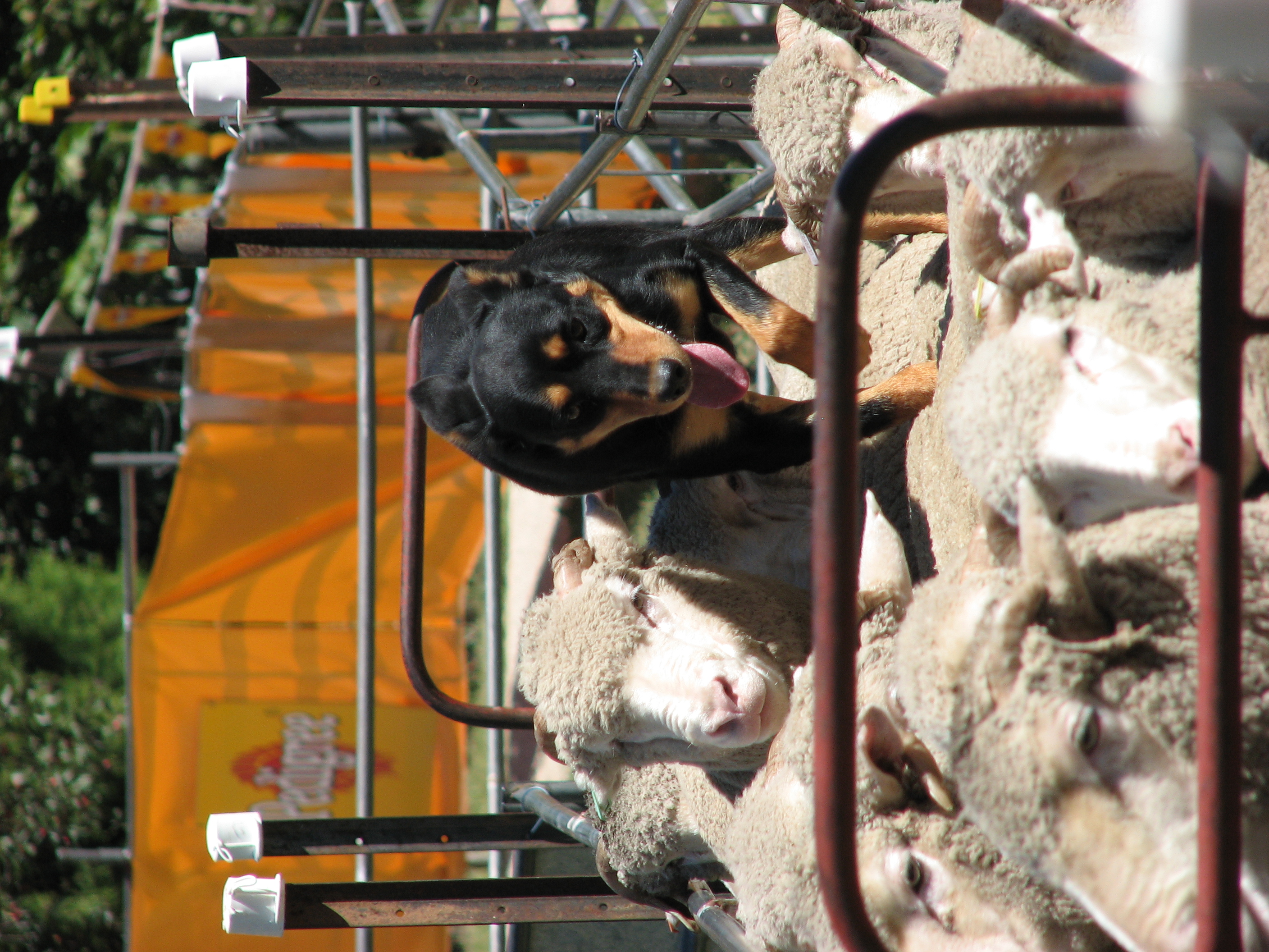
The Barbary sheep (''Ammotragus lervia''), also known as aoudad (pronounced �ɑʊdæd is a species of caprine native to rocky mountains in North Africa. While this is the only species in genus ''Ammotragus'', six subspecies have been described. Although it is rare in its native North Africa, it has been introduced to North America, southern Europe, and elsewhere. It is also known in the Berber language as ''waddan'' or ''arwi'', and in former French territories as the moufflon. Description Barbary sheep stand tall at the shoulder, with a length around , and weigh They are sandy-brown, darkening with age, with a slightly lighter underbelly and a darker line along the back. Upper parts and the outer parts of the legs are a uniform reddish- or grayish-brown. Some shaggy hair is on the throat (extending down to the chest in males) with a sparse mane. Their horns have a triangular cross-section. The horns curve outward, backward, then inward, and can exceed in length. ... [...More Info...] [...Related Items...] OR: [Wikipedia] [Google] [Baidu] |
Domesticated
Domestication is a sustained multi-generational relationship in which humans assume a significant degree of control over the reproduction and care of another group of organisms to secure a more predictable supply of resources from that group. A broader biological definition is that it is a coevolutionary process that arises from a mutualism, in which one species (the domesticator) constructs an environment where it actively manages both the survival and reproduction of another species (the domesticate) in order to provide the former with resources and/or services. The domestication of plants and animals by humans was a major cultural innovation ranked in importance with the conquest of fire, the manufacturing of tools, and the development of verbal language. Charles Darwin recognized the small number of traits that made domestic species different from their wild ancestors. He was also the first to recognize the difference between conscious selective breeding (i.e. artificial sel ... [...More Info...] [...Related Items...] OR: [Wikipedia] [Google] [Baidu] |
Antelope
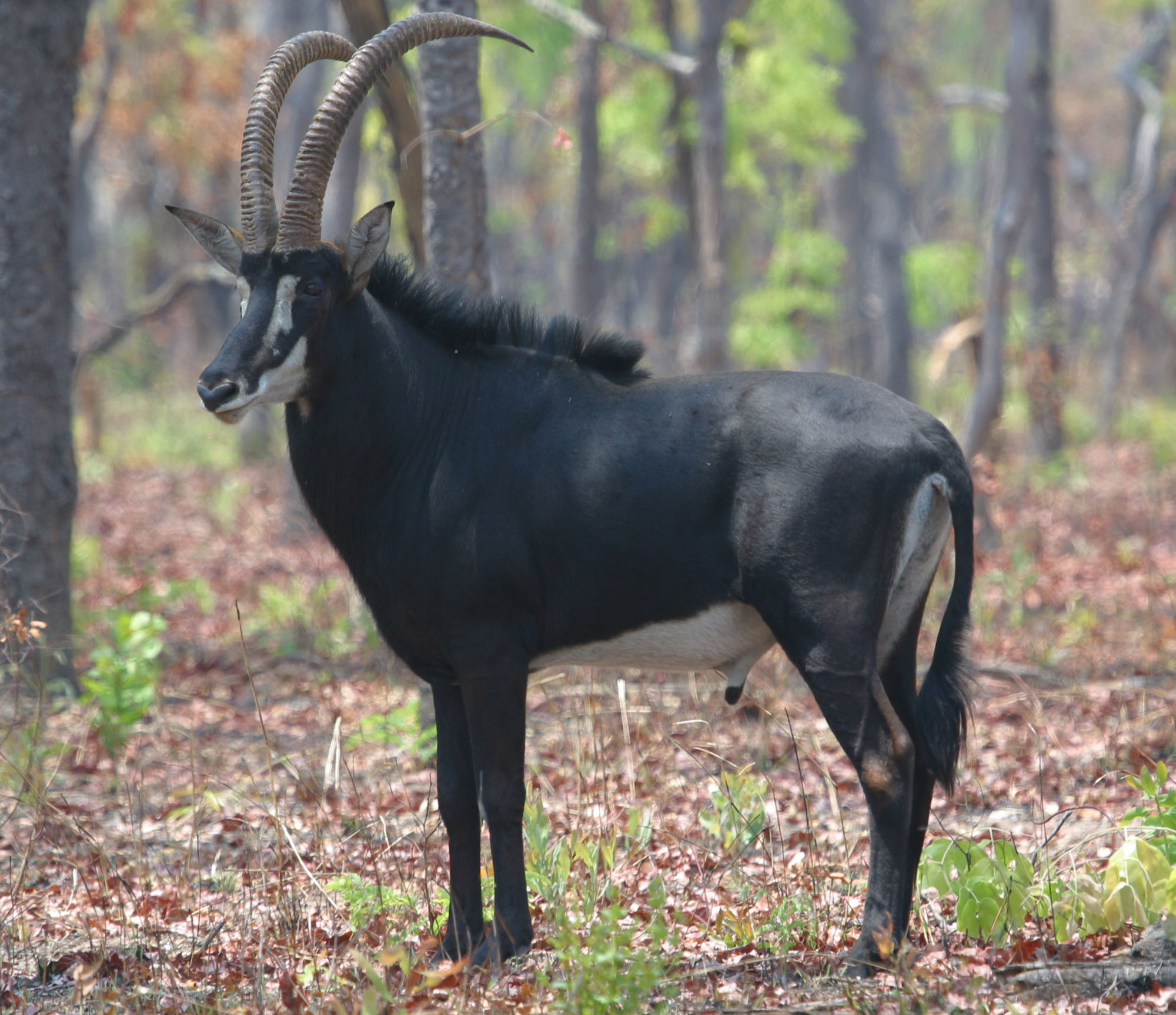
The term antelope is used to refer to many species of even-toed ruminant that are indigenous to various regions in Africa and Eurasia. Antelope comprise a wastebasket taxon defined as any of numerous Old World grazing and browsing hoofed mammals belonging to the family Bovidae of the order Artiodactyla. A stricter definition, also known as the "true antelopes," includes only the genera ''Gazella'', ''Nanger'', ''Eudorcas'' and ''Antilope''. One North American species, the pronghorn, is colloquially referred to as the "American antelope," but it belongs to a different family from the African and Eurasian antelopes. A group of antelope is called a herd. Unlike deer antlers, which are shed and grown annually, antelope horns grow continuously. Etymology The English word "antelope" first appeared in 1417 and is derived from the Old French ''antelop'', itself derived from Medieval Latin ''ant(h)alopus'', which in turn comes from the Byzantine Greek word ἀνθόλοψ, ''anthó ... [...More Info...] [...Related Items...] OR: [Wikipedia] [Google] [Baidu] |
Flora
Flora is all the plant life present in a particular region or time, generally the naturally occurring (indigenous) native plants. Sometimes bacteria and fungi are also referred to as flora, as in the terms '' gut flora'' or '' skin flora''. Etymology The word "flora" comes from the Latin name of Flora, the goddess of plants, flowers, and fertility in Roman mythology. The technical term "flora" is then derived from a metonymy of this goddess at the end of the sixteenth century. It was first used in poetry to denote the natural vegetation of an area, but soon also assumed the meaning of a work cataloguing such vegetation. Moreover, "Flora" was used to refer to the flowers of an artificial garden in the seventeenth century. The distinction between vegetation (the general appearance of a community) and flora (the taxonomic composition of a community) was first made by Jules Thurmann (1849). Prior to this, the two terms were used indiscriminately.Thurmann, J. (1849). ''Essai de ... [...More Info...] [...Related Items...] OR: [Wikipedia] [Google] [Baidu] |
Tadrart Rouge
The Tadrart Rouge (meaning "Red Mountain") or Southern Tadrart or Algerian Tadrart or Meridional Tadrart is a mountain range in southeastern Algeria, part of the Algerian Desert. The area has a rich array of rock art. Geography The ''Tadrart Rouge'' is a roughly 15–30 km large and 150 km long southern prolongation of the Libyan Tadrart Acacus into Algeria spanning to the frontier of Niger. Primarily composed of sandstone, it links the Tassili n’Ajjer in the north-west to the Djado in the southeast. The range is broken by a series of west-east oriented fossil drainage networks resulting in deep gorges. ''In Djaren'', discharging into the erg of ''Tin Merzuga'', is the most important one. The range reaches its maximum elevation of towards its southern end about 160 km southeast of Djanet. Erosion has formed a large number of natural arches. The area is well known for the spectacular red-orange sand dune fields contrasting with the jagged dark red rock formations ... [...More Info...] [...Related Items...] OR: [Wikipedia] [Google] [Baidu] |
Tadrart Acacus
The Acacus Mountains or Tadrart Akakus ( ar, تدرارت أكاكوس / ALA-LC: ''Tadrārt Akākūs'') form a mountain range in the desert of the Ghat District in western Libya, part of the Sahara. They are situated east of the city of Ghat, Libya, and stretch north from the border with Algeria, about . The area has a particularly rich array of prehistoric rock art. History Etymology ''Tadrart'' is the feminine form of "mountain" in the Berber languages (masculine: ''adrar''). Rock art The area is known for its rock art and was inscribed as a UNESCO World Heritage Site in 1985 because of the importance of these paintings and carvings. The paintings date from 12,000 BCE to 100 CE and reflect cultural and natural changes in the area. There are paintings and carvings of animals such as giraffes, elephants, ostriches and camels, but also of humans and horses. People are depicted in various daily life situations, for example while making music and dancing. File:Tadrart ... [...More Info...] [...Related Items...] OR: [Wikipedia] [Google] [Baidu] |
Djado
Djado is a ghost town in Bilma in Niger. The settlement lies on the plateau with the same name. The settlement likely wasn't called Djado during its existence. The site is quite remote. No excavation has been done, so the real name of the settlement is unknown. Geography The former Djado is located in an oasis, in the northeastern part of Ténéré desert. Ténéré desert is considered part of the Sahara. It is located on the southeastern end of the Djado plateau. For the administration, there's also a modern-day commune called Djado. The modern-day commune also comprises the Menfueni plateau and the Thchigai plateau. Modern-day Djado is the northernmost and easternmost commune in Niger. To the north, it borders Algeria and Libya, to the east, it lies on the border to Tchad. Neighboing communes in Niger are Dirkou to the south, Fachi to the southeast, and Iférouane to the west. There are three villages in the commune: Chirfa, Séguédine and Yaba. In addition, there a ... [...More Info...] [...Related Items...] OR: [Wikipedia] [Google] [Baidu] |

.jpg)


