|
Meizoseismal Area
The meizoseismal area in an earthquake is the area of maximum damage. For example, in the Charleston, South Carolina, earthquake of 1886, the meizoseismal area was an area about twenty by thirty miles stretching northeast between Charleston and Jedburg and incorporating Summerville. The estimated epicenter was near Middleton Place Middleton Place is a plantation in Dorchester County, along the banks of the Ashley River west of the Ashley and about northwest of downtown Charleston, in the U.S. state of South Carolina. Built in several phases during the 18th and 19th cent .... References Seismology {{seismology-stub ... [...More Info...] [...Related Items...] OR: [Wikipedia] [Google] [Baidu] |
1886 Charleston Earthquake
The 1886 Charleston earthquake occurred about 9:50 p.m. local time August 31. It caused 60 deaths and $5–6 million ($ million in ) in damage to 2,000 buildings in the Southeastern United States. It is one of the most powerful and damaging earthquakes to hit the East Coast of the United States. Scientists have classified it as an intraplate earthquake, and said that it had an estimated moment magnitude of 6.9–7.3 and a maximum Mercalli intensity of X (''Extreme''). Very little to no historical earthquake activity had occurred in this region, which is unusual for any seismic area. Earthquake The shock was felt as far away as Boston, Massachusetts, to the north, Chicago, Illinois, and Milwaukee, Wisconsin, to the northwest, New Orleans, Louisiana, to the west, and across water to Cuba to the south, and Bermuda to the east. The earthquake was so severe that outside the immediate area, there was speculation that the Florida peninsula had broken away from North Ameri ... [...More Info...] [...Related Items...] OR: [Wikipedia] [Google] [Baidu] |
Summerville, South Carolina
Summerville is a town in the U.S. state of South Carolina situated mostly in Dorchester County, with small portions in Berkeley and Charleston counties. It is part of the Charleston-North Charleston-Summerville Metropolitan Statistical Area. Summerville's population at the 2020 census was 50,915. Geography The center of Summerville is in southeastern Dorchester County; the town extends northeast into Berkeley and Charleston counties. It is bordered to the east by the town of Lincolnville and to the southeast by the city of North Charleston. Summerville's town limits extend south as far as the Ashley River next to Old Fort Dorchester State Historical Park. U.S. Route 78 passes near the center of Summerville, leading southeast to downtown Charleston and northwest to Interstate 95 at St. George. Interstate 26 leads through Summerville's northeast corner, with access from Exit 199, leading southeast to Charleston and northwest to Columbia. According to the United States ... [...More Info...] [...Related Items...] OR: [Wikipedia] [Google] [Baidu] |
Middleton Place
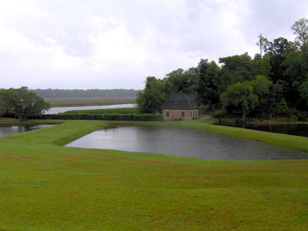
Middleton Place is a plantation in Dorchester County, along the banks of the Ashley River west of the Ashley and about northwest of downtown Charleston, in the U.S. state of South Carolina. Built in several phases during the 18th and 19th centuries, the plantation was the primary residence of several generations of the Middleton family, many of whom played prominent roles in the colonial and antebellum history of South Carolina. The plantation, now a National Historic Landmark District, is used as a museum,Charles Snell, , 14 June 1971. Retrieved: 4 August 2009. and is home to the oldest landscaped gardens in the United States. John Williams, an early South Carolina planter, probably began building Middleton Place in the late 1730s. His son-in-law Henry Middleton (1717–1784), who later served as President of the First Continental Congress, completed the house's main section and its north and south flankers, and began work on the elaborate gardens. Middleton's son, Foundin ... [...More Info...] [...Related Items...] OR: [Wikipedia] [Google] [Baidu] |
.jpg)

