|
Landsale
The landsale or land-sale system was a rental or tenement system occurring in the 18th and 19th centuries in Great Britain, named after the practice of local selling of coal and operation of small-scale "land sale" collieries. This was in contrast to the larger scale, and highly mechanized "water-sale" collieries exporting coal by sea and later canal to southern England. Land-sale coal was free of tax, and so coal users in coal producing areas could obtain coal free of duties for "water-sale coal" shipped by sea or canal, such as duties paid at the ports of London. The smaller local "land-sale" collieries were less productive, but also had lower costs as they paid lower wages to miners, or were rented by self-employed tenants. While winter weather affected all mines the smaller land sale collieries were more prone to lying idle. In the unusual case of the Wear Valley and South Durham land-sale miners were able to seasonally migrate to work on bigger water-sale collieries during par ... [...More Info...] [...Related Items...] OR: [Wikipedia] [Google] [Baidu] |
Brandon, County Durham
Brandon is a village in County Durham, England. It is situated a short distance to the southwest of Durham. Brandon was originally one of the seven townships within the ancient parish of Brancepeth. It grew from a sparsely populated agricultural area into a populous mining district after the establishment of collieries and later coke and fireclay works. Until the 19th century Brandon village, formerly known as East Brandon, was one of the larger settlements in Brancepeth Parish. History Brandon was also a manor of the medieval lordship of Brancepeth and as such was possessed by the Neville family The Neville or Nevill family (originally FitzMaldred) is a nobility, noble house of early medieval origin, which was a leading force in Kingdom of England, English politics in the later Middle Ages. The family became one of the two major powers in ..., the Earl of Westmorland, Earls of Westmoreland, while Holywell, Langley, Littleburn and other such localities were the sites of large f ... [...More Info...] [...Related Items...] OR: [Wikipedia] [Google] [Baidu] |
Ushaw Moor
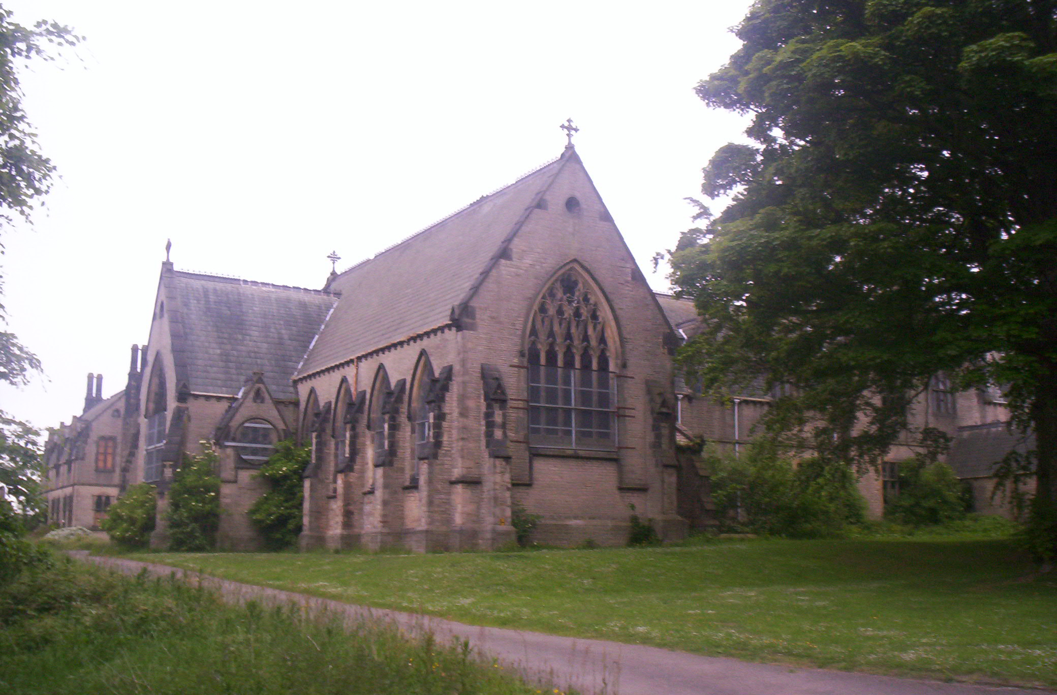
Ushaw Moor is an old pit village in County Durham, in England, on the north side of the River Deerness. It is situated to the west of Durham, a short distance to the south of Bearpark. Ushaw Moor falls within the Deerness electoral ward in the City of Durham constituency, whose MP since 2019 has been Mary Foy. Etymology It most likely seems that the name 'Ushaw' comes from Scandinavian origin which, when translated, means 'wolves' wood'. With the addition of Moor we get 'the moor near the wood of wolves'. History Parish registers suggests that the settlement dates to a least the sixteenth century. The village existed in a largely agricultural state, with a windmill being its one feature up till the nineteenth century. In 1804 Bishop William Gibson ordered the building of St. Cuthbert's College, later named Ushaw College, which opened in 1808. A chapel was added in 1847, followed by a library and exhibition hall. This closed in 2011 as a seminary and opened in 2014 as a vis ... [...More Info...] [...Related Items...] OR: [Wikipedia] [Google] [Baidu] |
Bedford Colliery
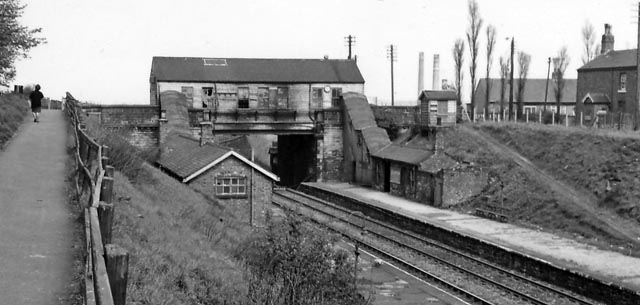
Bedford Colliery, also known as Wood End Pit, was a coal mine on the Manchester Coalfield in Bedford, Leigh, Lancashire, England. The colliery was owned by John Speakman, who started sinking two shafts on land at Wood End Farm in the northeast part of Bedford, south of the London and North Western Railway's Tyldesley Loopline in about 1874. Speakman's father owned Priestners, Bankfield, and Broadoak collieries in Westleigh. Bedford Colliery remained in the possession of the Speakman family until it was amalgamated with Manchester Collieries in 1929. Geology Bedford Colliery exploited the Middle Coal Measures which were laid down in the Carboniferous period and where coal is mined from seams between the Worsley Four Foot and Arley mines. The seams generally dip towards the south and west and are affected by small faults. The Upper Coal Measures are not worked in this part of the coalfield. History Bedford was a rural community until the arrival of the Bridgewater Canal; a larg ... [...More Info...] [...Related Items...] OR: [Wikipedia] [Google] [Baidu] |
Wear Valley
Wear Valley was, from 1974 to 2009, a local government district in County Durham, England. Its council and district capital was Crook. The district covered much of the Weardale area. In the west it was parished and rural, whereas in the east it was more urban. Crook and Willington are unparished. The district was formed on 1 April 1974, under the Local Government Act 1972, by the merger of the Bishop Auckland, Crook and Willington and Tow Law urban districts, along with Weardale Rural District. The district was abolished as part of the 2009 structural changes to local government in England, becoming part of the Durham County Council Durham County Council is a local authority administering all significant local government functions in the unitary authority area of County Durham in North East England. The council area covers part of the ceremonial county of County Durham, e ... unitary authority. Wear Valley had a population of around 65,000 in 2001. Electoral divis ... [...More Info...] [...Related Items...] OR: [Wikipedia] [Google] [Baidu] |
South Durham
South Durham, formally the Southern Division of Durham and often referred to as Durham Southern, was a county constituency of the House of Commons of the Parliament of the United Kingdom. It elected two Members of Parliament (MPs) by the bloc vote system of election. History The constituency was created by the Great Reform Act for the 1832 general election, when the former Durham constituency was split into the northern and southern divisions, each electing two members using the bloc vote system. The seat was abolished by the Redistribution of Seats Act 1885 when the two divisions were replaced by eight single-member divisions. These were Barnard Castle, Bishop Auckland, Chester-le-Street, Houghton-le-Spring, Jarrow, Mid Durham, North West Durham and South East Durham. In addition there were seven County Durham borough constituencies. Boundaries 1832–1885 * The Wards of Darlington and Stockton, with a place of election at Darlington. ''See map on Vision of B ... [...More Info...] [...Related Items...] OR: [Wikipedia] [Google] [Baidu] |
Whim (mining)
A whim, also called a whim gin or a horse capstan, is a device similar to a windlass which is used in mining for hauling materials to the surface. It comprises a capstan or a wide drum with a vertical axle. A rope is wound around the drum, with both ends traversing several pulleys and hanging down the mine shaft. As the drum is turned around, one end of the rope is lowered, carrying an empty bucket, while the other one is raised, carrying a full load. The major benefit of a whim is that its operation can be performed at a distance from the shaft, thus resolving some of the congestion. Early whims were horse-powered, but later they were powered by waterwheels or steam engines, including the most advanced Cornish engines. Whims were used in coal mines until the end of the nineteenth century. Horse whims were also used to power team boats. The gin wheel at Nottingham Industrial Museum dating from 1844, is a wooden drum, set on a vertical pole within a wooden frame, with a horizont ... [...More Info...] [...Related Items...] OR: [Wikipedia] [Google] [Baidu] |


.jpg)