|
Indoor Positioning
An indoor positioning system (IPS) is a network of devices used to locate people or objects where Global Positioning System, GPS and other satellite technologies lack precision or fail entirely, such as inside multistory buildings, airports, alleys, parking garages, and underground locations. A large variety of techniques and devices are used to provide indoor positioning ranging from reconfigured devices already deployed such as smartphones, Wi-Fi, WiFi and Bluetooth antennas, digital cameras, and clocks; to purpose built installations with relays and beacons strategically placed throughout a defined space. Lights, radio waves, magnetic fields, acoustic signals, and behavioral analytics are all used in IPS networks. IPS can achieve position accuracy of 2 cm, which is on par with Real-time kinematic, RTK enabled GNSS receivers that can achieve 2 cm accuracy outdoors. IPS use different technologies, including distance measurement to nearby anchor nodes (nodes with known fi ... [...More Info...] [...Related Items...] OR: [Wikipedia] [Google] [Baidu] |
Indoor Location Services On Mobile Phone (10928087126)
{{disambiguation ...
Indoor(s) may refer to: *the interior of a building *Indoor environment, in building science, traditionally includes the study of indoor thermal environment, indoor acoustic environment, indoor light environment, and indoor air quality *Built environment, the human-made environment that provides the setting for human activity *Indoor athletics *indoor games and sports See also * * * Indore (other) * Inside (other) * The Great Indoors (other) The Great Indoors may refer to: * The Great Indoors (department store) * ''The Great Indoors'' (TV series) *"The Great Indoors", an episode of season 3 of ''Phineas and Ferb'' See also *The Great Outdoors (other) The Great Outdoors may re ... [...More Info...] [...Related Items...] OR: [Wikipedia] [Google] [Baidu] |
Inertial Measurement Unit
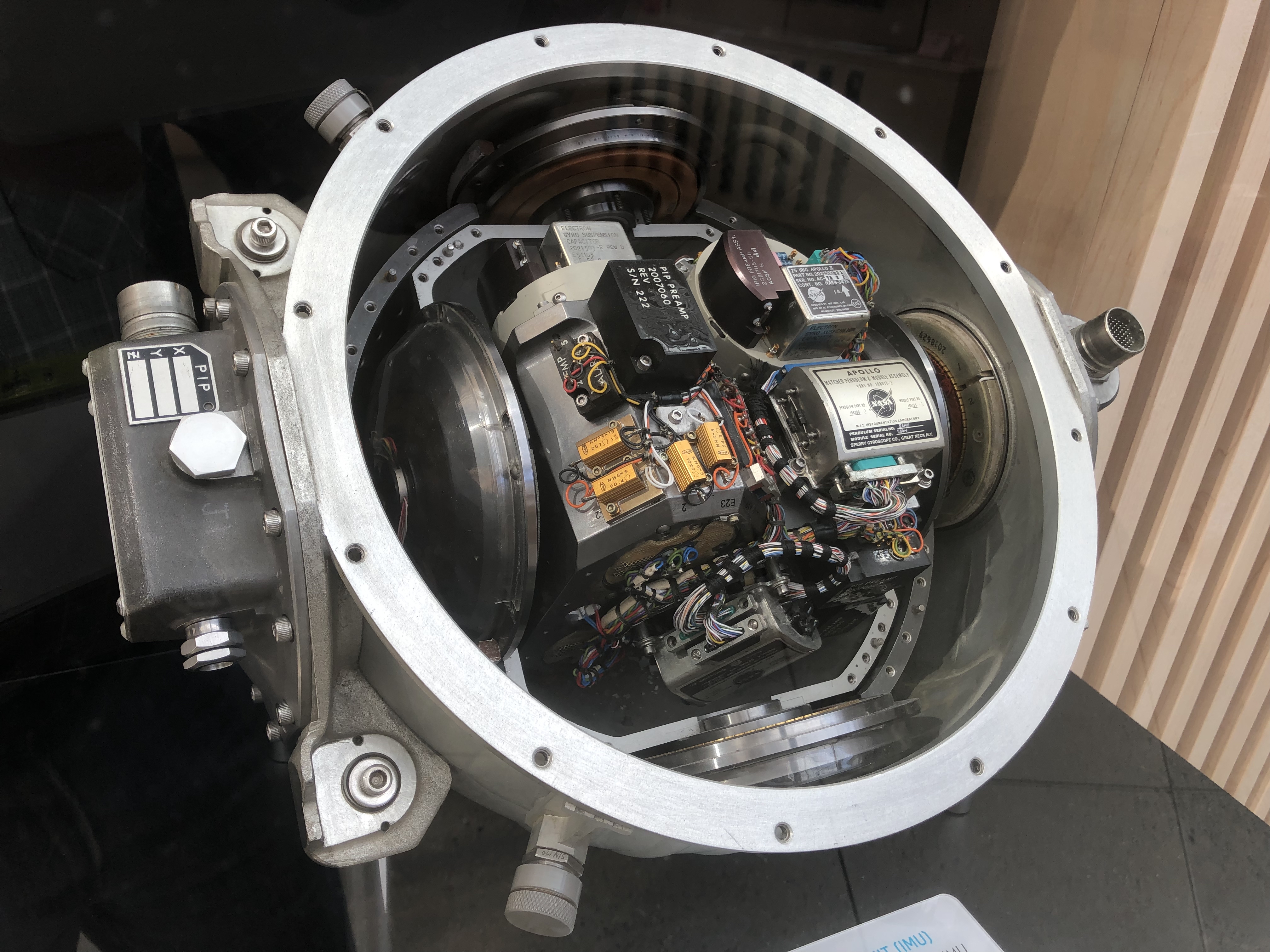
An inertial measurement unit (IMU) is an electronic device that measures and reports a body's specific force, angular rate, and sometimes the orientation of the body, using a combination of accelerometers, gyroscopes, and sometimes magnetometers. When the magnetometer is included, IMUs are referred to as IMMUs. IMUs are typically used to maneuver modern vehicles including motorcycles, missiles, aircraft (an attitude and heading reference system), including unmanned aerial vehicles (UAVs), among many others, and spacecraft, including satellites and landers. Recent developments allow for the production of IMU-enabled GPS devices. An IMU allows a GPS receiver to work when GPS-signals are unavailable, such as in tunnels, inside buildings, or when electronic interference is present. Operational principles An inertial measurement unit works by detecting linear acceleration using one or more accelerometers and rotational rate using one or more gyroscopes. Some also include a magnetom ... [...More Info...] [...Related Items...] OR: [Wikipedia] [Google] [Baidu] |
MAC Address
A media access control address (MAC address) is a unique identifier assigned to a network interface controller (NIC) for use as a network address in communications within a network segment. This use is common in most IEEE 802 networking technologies, including Ethernet, Wi-Fi, and Bluetooth. Within the Open Systems Interconnection (OSI) network model, MAC addresses are used in the medium access control protocol sublayer of the data link layer. As typically represented, MAC addresses are recognizable as six groups of two hexadecimal digits, separated by hyphens, colons, or without a separator. MAC addresses are primarily assigned by device manufacturers, and are therefore often referred to as the burned-in address, or as an Ethernet hardware address, hardware address, or physical address. Each address can be stored in hardware, such as the card's read-only memory, or by a firmware mechanism. Many network interfaces, however, support changing their MAC address. The address typ ... [...More Info...] [...Related Items...] OR: [Wikipedia] [Google] [Baidu] |
Wi-Fi Hotspot
A hotspot is a physical location where people can obtain Internet access, typically using Wi-Fi technology, via a wireless local-area network (WLAN) using a router connected to an Internet service provider. Public hotspots may be created by a business for use by customers, such as coffee shops or hotels. Public hotspots are typically created from wireless access points configured to provide Internet access, controlled to some degree by the venue. In its simplest form, venues that have broadband Internet access can create public wireless access by configuring an access point (AP), in conjunction with a router to connect the AP to the Internet. A single wireless router combining these functions may suffice. A private hotspot, often called tethering, may be configured on a smartphone or tablet that has a network data plan, to allow Internet access to other devices via Bluetooth pairing, or through the RNDIS protocol over USB, or even when both the hotspot device and the devi ... [...More Info...] [...Related Items...] OR: [Wikipedia] [Google] [Baidu] |
Gaussian Process
In probability theory and statistics, a Gaussian process is a stochastic process (a collection of random variables indexed by time or space), such that every finite collection of those random variables has a multivariate normal distribution, i.e. every finite linear combination of them is normally distributed. The distribution of a Gaussian process is the joint distribution of all those (infinitely many) random variables, and as such, it is a distribution over functions with a continuous domain, e.g. time or space. The concept of Gaussian processes is named after Carl Friedrich Gauss because it is based on the notion of the Gaussian distribution (normal distribution). Gaussian processes can be seen as an infinite-dimensional generalization of multivariate normal distributions. Gaussian processes are useful in statistical modelling, benefiting from properties inherited from the normal distribution. For example, if a random process is modelled as a Gaussian process, the distribution ... [...More Info...] [...Related Items...] OR: [Wikipedia] [Google] [Baidu] |
Received Signal Strength Indication
In telecommunications, received signal strength indicator (RSSI) is a measurement of the power present in a received radio signal. RSSI is usually invisible to a user of a receiving device. However, because signal strength can vary greatly and affect functionality in wireless networking, IEEE 802.11 devices often make the measurement available to users. RSSI is often derived in the intermediate frequency (IF) stage before the IF amplifier. In zero-IF systems, it is derived in the baseband signal chain, before the baseband amplifier. RSSI output is often a DC analog level. It can also be sampled by an internal analog-to-digital converter (ADC) and the resulting values made available directly or via peripheral or internal processor bus. In 802.11 implementations In an IEEE 802.11 system, RSSI is the relative received signal strength in a wireless environment, in arbitrary units. RSSI is an indication of the power level being received by the receiving radio after the antenna and ... [...More Info...] [...Related Items...] OR: [Wikipedia] [Google] [Baidu] |
Match Moving
In visual effects, match moving is a technique that allows the insertion of computer graphics into live-action footage with correct position, scale, orientation, and motion relative to the photographed objects in the shot. The term is used loosely to describe several different methods of extracting camera motion information from a motion picture. Sometimes referred to as motion tracking or camera solving, match moving is related to rotoscoping and photogrammetry. Match moving is sometimes confused with motion capture, which records the motion of objects, often human actors, rather than the camera. Typically, motion capture requires special cameras and sensors and a controlled environment (although recent developments such as the Kinect camera and Apple's Face ID have begun to change this). Match moving is also distinct from motion control photography, which uses mechanical hardware to execute multiple identical camera moves. Match moving, by contrast, is typically a software-base ... [...More Info...] [...Related Items...] OR: [Wikipedia] [Google] [Baidu] |
Relative Direction
In geometry, a position or position vector, also known as location vector or radius vector, is a Euclidean vector that represents the position of a point ''P'' in space in relation to an arbitrary reference origin ''O''. Usually denoted x, r, or s, it corresponds to the straight line segment from ''O'' to ''P''. In other words, it is the displacement or translation that maps the origin to ''P'': :\mathbf=\overrightarrow The term "position vector" is used mostly in the fields of differential geometry, mechanics and occasionally vector calculus. Frequently this is used in two-dimensional or three-dimensional space, but can be easily generalized to Euclidean spaces and affine spaces of any dimension.Keller, F. J, Gettys, W. E. et al. (1993), p 28–29 Relative position The relative position of a point ''Q'' with respect to point ''P'' is the Euclidean vector resulting from the subtraction of the two absolute position vectors (each with respect to the origin): :\Delta \mathbf=\ma ... [...More Info...] [...Related Items...] OR: [Wikipedia] [Google] [Baidu] |
Orientation (geometry)
In geometry, the orientation, angular position, attitude, bearing, or direction of an object such as a line, plane or rigid body is part of the description of how it is placed in the space it occupies. More specifically, it refers to the imaginary rotation that is needed to move the object from a reference placement to its current placement. A rotation may not be enough to reach the current placement. It may be necessary to add an imaginary translation, called the object's location (or position, or linear position). The location and orientation together fully describe how the object is placed in space. The above-mentioned imaginary rotation and translation may be thought to occur in any order, as the orientation of an object does not change when it translates, and its location does not change when it rotates. Euler's rotation theorem shows that in three dimensions any orientation can be reached with a single rotation around a fixed axis. This gives one common way of representing ... [...More Info...] [...Related Items...] OR: [Wikipedia] [Google] [Baidu] |
Assisted GPS
Assisted GNSS (A-GNSS) is a GNSS augmentation system that often significantly improves the startup performance—i.e., time-to-first-fix (TTFF)—of a global navigation satellite system (GNSS). A-GNSS works by providing the necessary data to the device via a radio network instead of the slow satellite link, essentially "warming up" the receiver for a fix. When applied to GPS, it is known as assisted GPS or augmented GPS (abbreviated generally as A-GPS and less commonly as aGPS). Other local names include A-GANSS for Galileo and A-Beidou for BeiDou. A-GPS is extensively used with GPS-capable cellular phones, as its development was accelerated by the U.S. FCC's 911 requirement to make cell phone location data available to emergency call dispatchers. Background Every GPS device requires orbital data about the satellites to calculate its position. The data rate of the satellite signal is only 50 bit/s, so downloading orbital information like ephemerides and the almanac directl ... [...More Info...] [...Related Items...] OR: [Wikipedia] [Google] [Baidu] |
High Sensitivity GPS
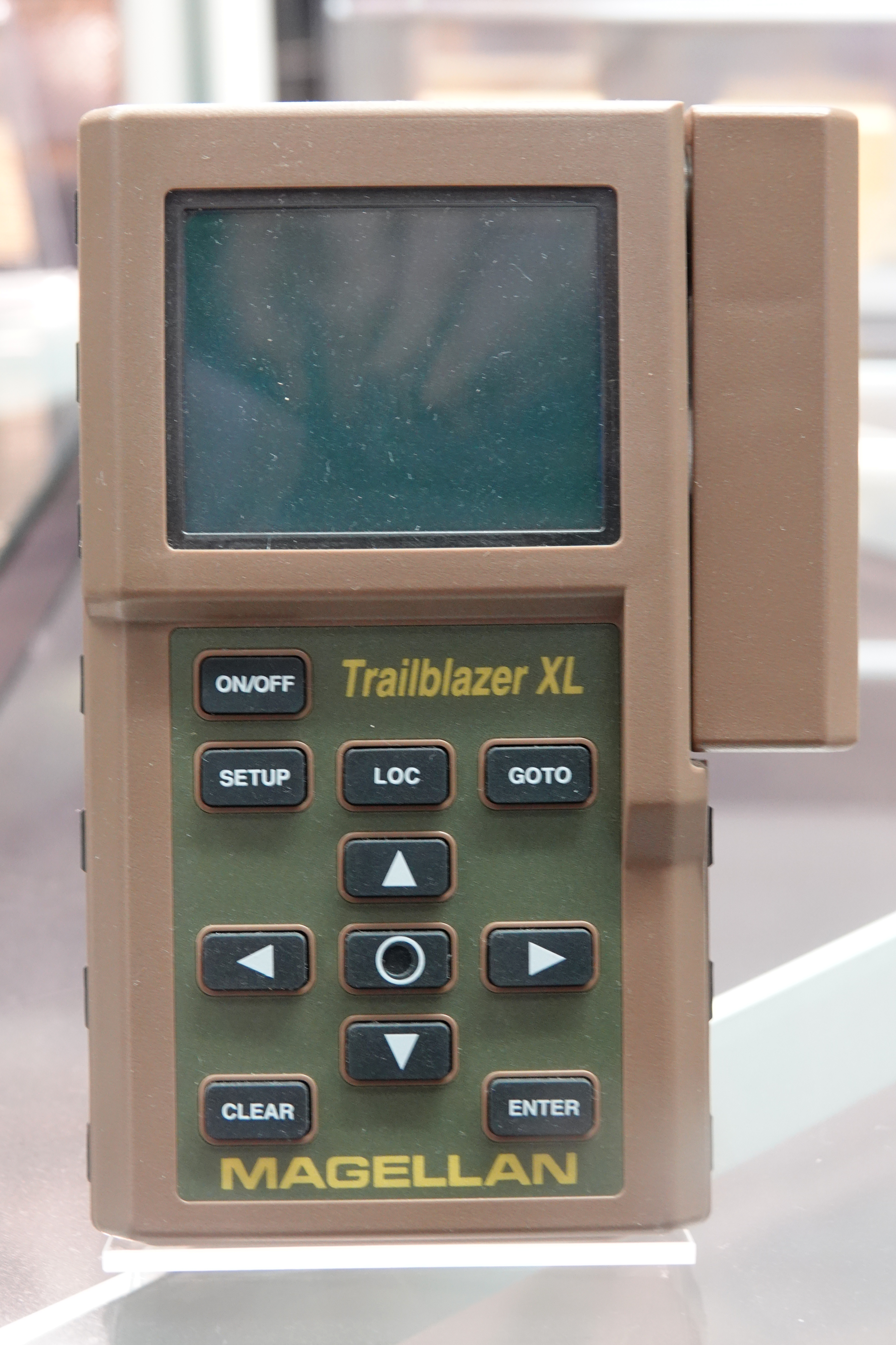
A satellite navigation device (satnav device) is a user equipment that uses one or more of several global navigation satellite systems (GNSS) to calculate the device's geographical position and provide navigational advice. Depending on the software used, the satnav device may display the position on a map, as geographic coordinates, or may offer routing directions. As of September 2020, there were four operational GNSS systems, the original United States' Global Positioning System (GPS), the European Union's Galileo, Russia's GLONASS, and China's BeiDou Navigation Satellite System. The Indian Regional Navigation Satellite System (IRNSS) will follow and Japan's Quasi-Zenith Satellite System (QZSS) scheduled for 2023 will augment the accuracy of a number of GNSS. A satellite navigation device can retrieve location and time information from one or more GNSS systems in all weather conditions, anywhere on or near the Earth's surface. Satnav reception requires an unobstructed l ... [...More Info...] [...Related Items...] OR: [Wikipedia] [Google] [Baidu] |
.jpg)


