|
Geohashing
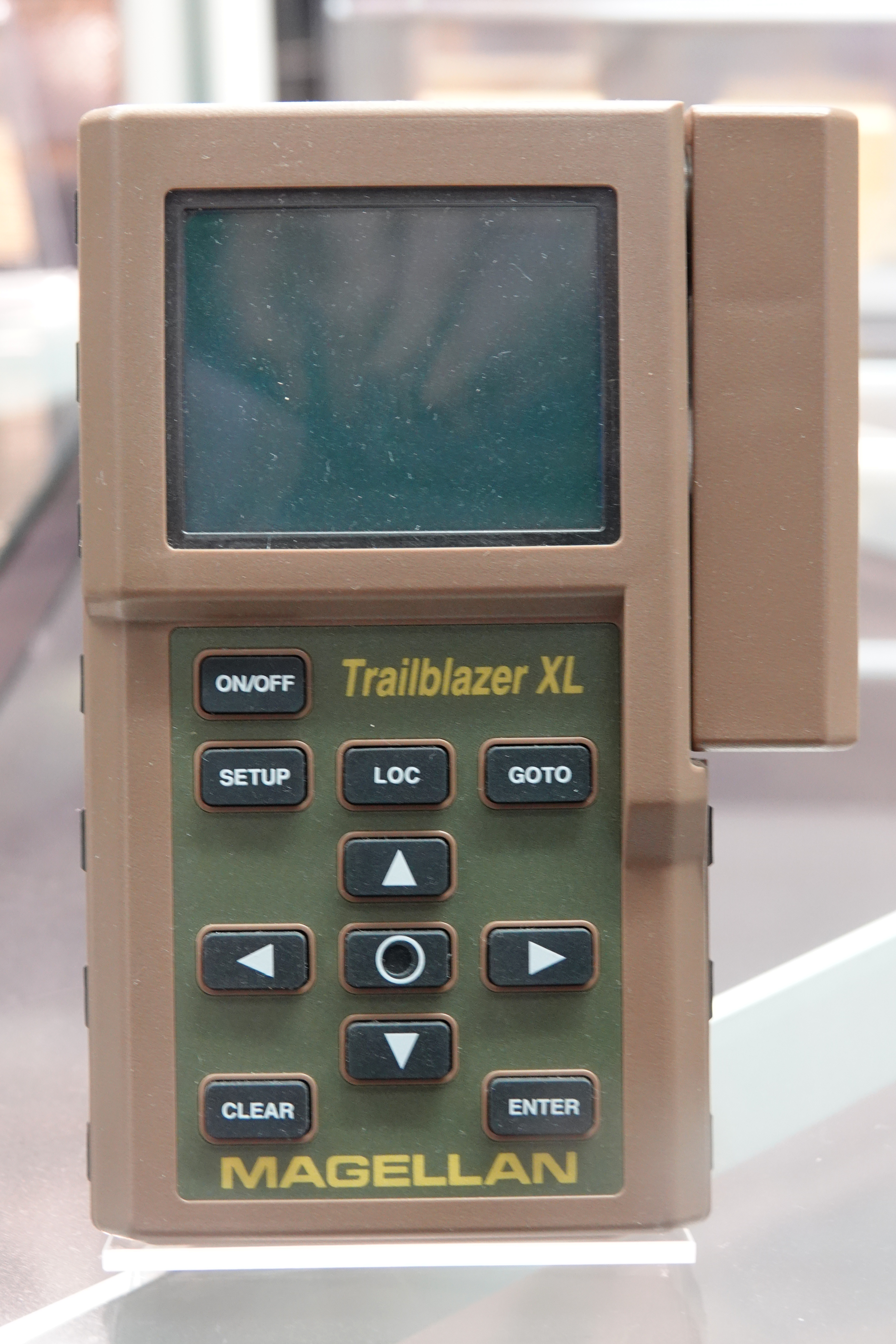
Geohashing is an outdoor recreational activity inspired by the webcomic ''xkcd'', in which participants have to reach a random location (chosen by a computer algorithm), prove their achievement by taking a picture of a Global Positioning System (GPS) receiver or another mobile device and then tell the story of their trip online. Proof based on non-electronic navigation is also acceptable. The geohashing community and culture is extremely tongue-in-cheek, supporting any kind of humorous behavior during the practice of geohashing and resulting in a parody of traditional outdoor activities. Navigating to a random point need not be pointless. Some geohashers document new mapping features they find on the OpenStreetMap project, clean up litter, or create art to commemorate the trip, among other activities. A variation on geocaching, known as geodashing, features a closely comparable principle, with participants racing between coordinate points. Invention and spread On May 21, ... [...More Info...] [...Related Items...] OR: [Wikipedia] [Google] [Baidu] |
Xkcd
''xkcd'', sometimes styled ''XKCD'', is a webcomic created in 2005 by American author Randall Munroe. The comic's tagline describes it as "a webcomic of romance, sarcasm, math, and language". Munroe states on the comic's website that the name of the comic is not an initialism but "just a word with no phonetic pronunciation". The subject matter of the comic varies from statements on life and love to mathematical, programming, and scientific in-jokes. Some strips feature simple humor or pop-culture references. It has a cast of stick figures, and the comic occasionally features landscapes, graphs, charts, and intricate mathematical patterns such as fractals. New cartoons are added three times a week, on Mondays, Wednesdays, and Fridays. Munroe has released five spinoff books from the comic. The first book, published in 2010 and entitled ''xkcd: volume 0'', was a series of select comics from his website. His 2014 book '' What If?'' is based on his blog of the same name that ans ... [...More Info...] [...Related Items...] OR: [Wikipedia] [Google] [Baidu] |
Geohash 2014-01-13 Location
Geohash is a public domain geocode system invented in 2008 by Gustavo NiemeyerEvidences at the Wayback Machine: labix.org in 2008, the G. Niemeyer's blog announcing Geohash *an article about Geohash witnessing and citing G. Niemeyer works, before 2012 G. Niemeyer's post at forums.geocaching.com announcing Geohash in Feb. 2008 which encodes a geographic location into a short string of letters and digits. Similar ideas were introduced by G.M. Morton in 1966.G. M. Morton (196''"A Computer Oriented Geodetic Data Base and a New Technique in File Sequencing"''. Report in IBM Canada. It is a hierarchical spatial data structure which subdivides space into buckets of grid shape, which is one of the many applications of what is known as a Z-order curve, and generally space-filling curves. Geohashes offer properties like arbitrary precision and the possibility of gradually removing characters from the end of the code to reduce its size (and gradually lose precision). Geohashing guarantees t ... [...More Info...] [...Related Items...] OR: [Wikipedia] [Google] [Baidu] |
Geocaching
Geocaching is an outdoor recreational activity, in which participants use a Global Positioning System (GPS) receiver or mobile device and other navigational techniques to hide and seek containers, called "geocaches" or "caches", at specific locations marked by coordinates all over the world. As of 2021 there were over a million active players in the United States. Geocaching can be considered a Location-based game. A typical cache is a small waterproof container containing a logbook and sometimes a pen or pencil. The geocacher signs the log with their established code name and dates it, in order to prove that they found the cache. After signing the log, the cache must be placed back exactly where the person found it. Larger containers such as plastic storage containers (Tupperware or similar) or ammo boxes can also contain items for trading, such as toys or trinkets, usually of more sentimental worth than financial. Geocaching shares many aspects with benchmarking, trigp ... [...More Info...] [...Related Items...] OR: [Wikipedia] [Google] [Baidu] |
Satellite Navigation Device
A satellite navigation device (satnav device) is a user equipment that uses one or more of several global navigation satellite systems (GNSS) to calculate the device's geographical position and provide navigational advice. Depending on the software used, the satnav device may display the position on a map, as Geographic coordinate system, geographic coordinates, or may offer routing directions. As of September 2020, there were four operational GNSS systems, the original United States' Global Positioning System (GPS), the European Union's Galileo (satellite navigation), Galileo, Russia's GLONASS, and China's BeiDou Navigation Satellite System. The Indian Regional Navigation Satellite System (IRNSS) will follow and Japan's Quasi-Zenith Satellite System (QZSS) scheduled for 2023 will augment the accuracy of a number of GNSS. A satellite navigation device can retrieve location and time information from one or more GNSS systems in all weather conditions, anywhere on or near th ... [...More Info...] [...Related Items...] OR: [Wikipedia] [Google] [Baidu] |
Letterboxing (hobby)
Letterboxing is an outdoor hobby that combines elements of orienteering, art, and puzzle solving. Letterboxers hide small, weatherproof boxes in publicly accessible places (like parks) and distribute clues to finding the box in printed catalogs, on one of several web sites, or by word of mouth. Individual letterboxes contain a notebook and a rubber stamp, preferably hand carved or custom made. Finders make an imprint of the letterbox's stamp in their personal notebook, and leave an impression of their personal signature stamp on the letterbox's "visitors' book" or "logbook" — as proof of having found the box and letting other letterboxers know who has visited. Many letterboxers keep careful track of their "find count". History The origin of letterboxing can be traced to Dartmoor, Devon, England in 1854. William Crossing in his ''Guide to Dartmoor'' states that a well known Dartmoor guide (James Perrott) placed a bottle for visiting cards at Cranmere Pool on the northern moor i ... [...More Info...] [...Related Items...] OR: [Wikipedia] [Google] [Baidu] |
Orienteering
Orienteering is a group of sports that require navigational skills using a map and compass to navigate from point to point in diverse and usually unfamiliar terrain whilst moving at speed. Participants are given a topographical map, usually a specially prepared orienteering map, which they use to find control points. Originally a training exercise in land navigation for military officers, orienteering has developed many variations. Among these, the oldest and the most popular is foot orienteering. For the purposes of this article, foot orienteering serves as a point of departure for discussion of all other variations, but almost any sport that involves racing against a clock and requires navigation with a map is a type of orienteering. Orienteering is included in the programs of world sporting events including the World Games (see Orienteering at the World Games) and World Police and Fire Games. History The history of orienteering begins in the late 19th century in Swede ... [...More Info...] [...Related Items...] OR: [Wikipedia] [Google] [Baidu] |
Degree Confluence Project
The Degree Confluence Project is a World Wide Web-based, all-volunteer project which aims to have people visit each of the integer degree intersections of latitude and longitude on Earth, posting photographs and a narrative of each visit online. The project describes itself as "an organized sampling of the world". Requirements The precise location of each degree confluence uses the WGS 84 horizontal datum, and visitors to degree confluences almost always make use of GNSS receivers. For a ''successful visit'', the visitor must get within 100 metres of the confluence point, and post a narrative and several photographs to the project website. A visit, or attempted visit, which does not conform to these rules may still be recorded on the website as an ''incomplete visit''. The project encourages visits to degree confluences which have been visited previously, and many confluence points - especially in non-remote regions of developed nations - have been visited several times. The t ... [...More Info...] [...Related Items...] OR: [Wikipedia] [Google] [Baidu] |
Benchmarking (geolocating)
Benchmarking, also known as benchmark hunting, is a hobby activity in which participants find benchmarks (also known as survey markers or geodetic control points). The term "bench mark" is used only to refer to survey markers that designate a certain elevation, but hobbyists often use the term benchmarks to include triangulation stations or other reference marks. They typically then log their finds online. Like geocaching, the activity has become popular since 1995, propelled by the availability of on-line data on the location of survey marks (with directions for finding them) and by the rise of hobbyist-oriented websites. History Many survey markers in the U.S. were set over 100 years ago. There was a surge in creating these marks in the U.S. from about 1930 to 1955, in conjunction with the expansion of map-making activities across the country. Sources of data on U.S. marks In the U.S., about 740,000 benchmarks with the most precise elevations or coordinates (but only a smal ... [...More Info...] [...Related Items...] OR: [Wikipedia] [Google] [Baidu] |
Location-based Game
A location-based game (or location-enabled game, or geolocation-based game) is a type of game in which the gameplay evolves and progresses via a player's location. Location-based games must provide some mechanism to allow the player to report their location, usually with GPS. Many location-based games are video games that run on a mobile phone with GPS capability, known as location-based video games. "Urban gaming" or "street games" are typically multi-player location-based games played out on city streets and built up urban environments. Various mobile devices can be used to play location-based games; these games have been referred to as "location-based mobile games", merging location-based games and mobile games. Location-based games may be considered to be pervasive games. Video Games Some location-based games that are video games have used embedded mobile technologies such as near field communication, Bluetooth, and UWB. Poor technology performance in urban areas has led ... [...More Info...] [...Related Items...] OR: [Wikipedia] [Google] [Baidu] |
Randall Munroe
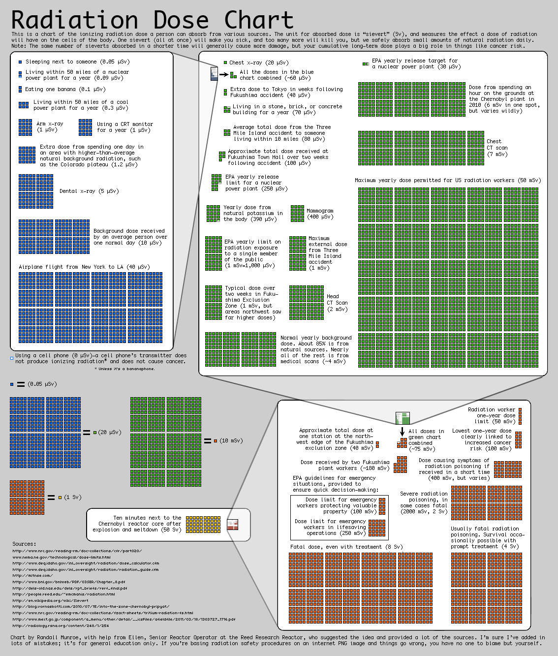
Randall Patrick Munroe (born October 17, 1984) is an American cartoonist, author, and engineer best known as the creator of the webcomic ''xkcd''. Munroe has worked full-time on the comic since late 2006. In addition to publishing a book of the webcomic's strips, he has written four books: ''What If? (book), What If?'', ''Thing Explainer'', ''How To (book), How To: Absurd Scientific Advice for Common Real-World Problems,'' and ''What If?2''. Early life Munroe was born in Easton, Pennsylvania, and his father has worked as an engineer and marketer. He has two younger siblings, and was raised as a Quakers, Quaker. He was a fan of comic strips in newspapers from an early age, starting off with ''Calvin and Hobbes''. After graduating from the Mathematics and Science High School at Clover Hill, Chesterfield County Mathematics and Science High School at Clover Hill, a Renaissance Program in Midlothian, Virginia, he graduated from Christopher Newport University in 2006 with a degree in ... [...More Info...] [...Related Items...] OR: [Wikipedia] [Google] [Baidu] |
Internet
The Internet (or internet) is the global system of interconnected computer networks that uses the Internet protocol suite (TCP/IP) to communicate between networks and devices. It is a '' network of networks'' that consists of private, public, academic, business, and government networks of local to global scope, linked by a broad array of electronic, wireless, and optical networking technologies. The Internet carries a vast range of information resources and services, such as the inter-linked hypertext documents and applications of the World Wide Web (WWW), electronic mail, telephony, and file sharing. The origins of the Internet date back to the development of packet switching and research commissioned by the United States Department of Defense in the 1960s to enable time-sharing of computers. The primary precursor network, the ARPANET, initially served as a backbone for interconnection of regional academic and military networks in the 1970s to enable resource shari ... [...More Info...] [...Related Items...] OR: [Wikipedia] [Google] [Baidu] |
Dow Jones Industrial Average
The Dow Jones Industrial Average (DJIA), Dow Jones, or simply the Dow (), is a stock market index of 30 prominent companies listed on stock exchanges in the United States. The DJIA is one of the oldest and most commonly followed equity indexes. Many professionals consider it to be an inadequate representation of the overall U.S. stock market compared to a broader market index such as the S&P 500. The DJIA includes only 30 large companies. It is price-weighted, unlike stock indices which use market capitalization. Furthermore, the DJIA does not use a weighted arithmetic mean. The value of the index can also be calculated as the sum of the stock prices of the companies included in the index, divided by a factor which is currently () approximately 0.152. The factor is changed whenever a constituent company undergoes a stock split so that the value of the index is unaffected by the stock split. First calculated on May 26, 1896, the index is the second-oldest among U.S. market ... [...More Info...] [...Related Items...] OR: [Wikipedia] [Google] [Baidu] |


