|
Al-Rastan
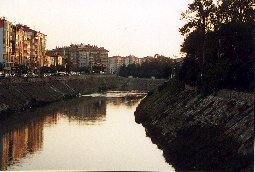
Al-Rastan ( ar, الرستن) is the third largest city in the Homs Governorate, located north of its administrative capital Homs and from Hama. Nearby localities include Talbiseh and al-Ghantu to the south, al-Zaafaraniyah and al-Mashrafah to the southeast, Murayj al-Durr to the northeast, Tumin to the north, Deir al-Fardis to the northwest and Kafr Nan and the Houla village cluster to the west. Ar-Rastan had a population of nearly 40,000 in 2004. It occupies the site of the Hellenistic-era city of Arethusa ( grc, Ἀρέθουσα) and still contains some of its ancient ruins. It continued to exist as a relatively small, but strategic town throughout the early Islamic and Ottoman eras. Ar-Rastan is situated adjacently south of the large bridge linking Homs and Hama. The total land area of the town is 350 hectares. It is the site of the al-Rastan Dam, a major dam on the Orontes River that has a retaining capacity of 225 million m³. The dam is principally used for irrigation ... [...More Info...] [...Related Items...] OR: [Wikipedia] [Google] [Baidu] |
Al-Rastan District
Ar-Rastan District ( ar-at, منطقة الرستن, manṭiqat ar-Rastan) is a district of the Homs Governorate Homs Governorate ( ar, مُحافظة حمص / ALA-LC: ''Muḥāfaẓat Ḥimṣ'') is one of the fourteen governorates (provinces) of Syria. It is situated in central Syria. Its area differs in various sources, from to . It is thus geographic ... in central Syria. The administrative centre is the city of ar-Rastan. At the 2004 census, the district had a population of 127,806. Sub-districts The district of ar-Rastan is divided into two sub-districts or nawāḥī (population as of 2004): * Al-Rastan Subdistrict (ناحية الرستن): population 64,271. * Talbiseh Subdistrict (ناحية تلبيسة): population 63,784. References Districts of Homs Governorate {{HomsSY-geo-stub ... [...More Info...] [...Related Items...] OR: [Wikipedia] [Google] [Baidu] |
Al-Rastan Dam
Al-Rastan Dam is an embankment dam on the Orontes River in the city of Al-Rastan, Homs Governorate, Syria. It was completed in 1960 with the primary purpose of irrigation. It was constructed by the Bulgarian firm Hydrostroy along with the Mouhardeh Dam, downstream and also on the Orontes. See also *Lake Homs Dam __NOTOC__ The Lake Homs Dam, also known as Qattinah Dam, is a Roman-built dam near the city of Homs, Syria, which is in use to this day. History Contrary to an older hypothesis which tentatively linked the origins of the dam to Egyptian ruler Seth ... – located upstream References {{reflist Dams in Syria Dams completed in 1960 ... [...More Info...] [...Related Items...] OR: [Wikipedia] [Google] [Baidu] |
Kafr Nan
Kafr Nan ( ar, كفرنان, Kafrnan, also spelled Kfarnan) is a village in northern Syria, administratively part of the Homs Governorate, located north of Homs. Nearby localities include Burj Qa'i to the west, Kisin to the northwest, Gharnatah to the northeast, al-Zaafaraniyah to the east, Talbiseh to the southeast, Tasnin to the south and Akrad Dayasinah to the southeast. According to the Syria Central Bureau of Statistics (CBS), Kafr Nan had a population of 3,231 in the 2004 census. References Bibliography * Populated places in al-Rastan District Alawite communities in Syria {{HomsSY-geo-stub ... [...More Info...] [...Related Items...] OR: [Wikipedia] [Google] [Baidu] |
Murayj Al-Durr
Murayj al-Durr ( ar, مرج الدر; ady, Хъосай Къуадж pronounced ''Merzhidor'', also spelled Mraij ad-Durr, Murij al-Durr) is a village in northern Syria, administratively part of the Homs Governorate, located northeast of Homs and southeast of Hama, on the eastern bank of the Orontes River. Nearby localities include the district center al-Rastan to the west, Ghor al-Assi to the north (opposite side of the Orontes), Izz al-Din to the west and al-Zaafaraniyah to the south. According to the Syria Central Bureau of Statistics (CBS), Murayj al-Durr had a population of 295 in the 2004 census, making it one of the smallest localities in the al-Rastan ''nahiyah'' ("subdistrict").General Census of Population and Housing 2004 . [...More Info...] [...Related Items...] OR: [Wikipedia] [Google] [Baidu] |
Orontes River
The Orontes (; from Ancient Greek , ) or Asi ( ar, العاصي, , ; tr, Asi) is a river with a length of in Western Asia that begins in Lebanon, flowing northwards through Syria before entering the Mediterranean Sea near Samandağ in Turkey. As the chief river of the northern Levant, the Orontes was the site of several major battles. Among the most important cities on the river are Homs, Hama, Jisr al-Shughur, and Antakya (the ancient Antioch, which was also known as "Antioch on the Orontes"). Names In the 9th century BCE, the ancient Assyrians referred to the river as Arantu, and the nearby Egyptians called it Araunti. The etymology of the name is unknown, yet some sources indicate that it might be derived from ''Arnt'' which means "lioness" in Syriac languages; others called it ''Alimas'', a "water goddess" in Aramaic. However, ''Arantu'' gradually became "Orontes" in Greek. In the Greek epic poem '' Dionysiaca'' (circa 400 CE), the river is said to have been named after ... [...More Info...] [...Related Items...] OR: [Wikipedia] [Google] [Baidu] |
Al-Zaafaraniyah
Al-Zaafaraniyah ( ar, الزعفرانية, also spelled al-Za'afaranah) is a village in the northern Syria, administratively part of the Homs Governorate, located north of Homs. Nearby localities include Mashrafah to the southeast, Talbiseh to the southwest, Tasnin and Kafr Nan to the west, al-Rastan to the northwest and Deir Ful and Izz al-Din to the northeast. According to the Syria Central Bureau of Statistics (CBS), al-Zaafaraniyah had a population of 5,102 in the 2004 census.General Census of Population and Housing 2004 Syria Central Bureau of Statistics (CBS). Homs Governorate. In 1838 ... [...More Info...] [...Related Items...] OR: [Wikipedia] [Google] [Baidu] |
Homs Governorate
Homs Governorate ( ar, مُحافظة حمص / ALA-LC: ''Muḥāfaẓat Ḥimṣ'') is one of the fourteen governorates (provinces) of Syria. It is situated in central Syria. Its area differs in various sources, from to . It is thus geographically the largest governorate of Syria. Homs Governorate has a population of 1,763,000 (2010 estimate). The Homs governorate is divided into 6 administrative districts (''mantiqah''), with the city of Homs as a separate district. Homs is the capital city of the district of Homs. Its governor is Namir Habib Makhlouf. A Homs Governorate also formed part of Ottoman Syria, when it was also known as the Sanjak of Homs. Districts The governorate is divided into seven districts (manatiq). The districts are further divided into 25 sub-districts ( nawahi): * Homs District (10 sub-districts) ** Homs Subdistrict ** Khirbet Tin Nur Subdistrict ** Ayn al-Niser Subdistrict ** Furqlus Subdistrict ** Al-Riqama Subdistrict ** Al-Qaryatayn ... [...More Info...] [...Related Items...] OR: [Wikipedia] [Google] [Baidu] |
Al-Mashrafah
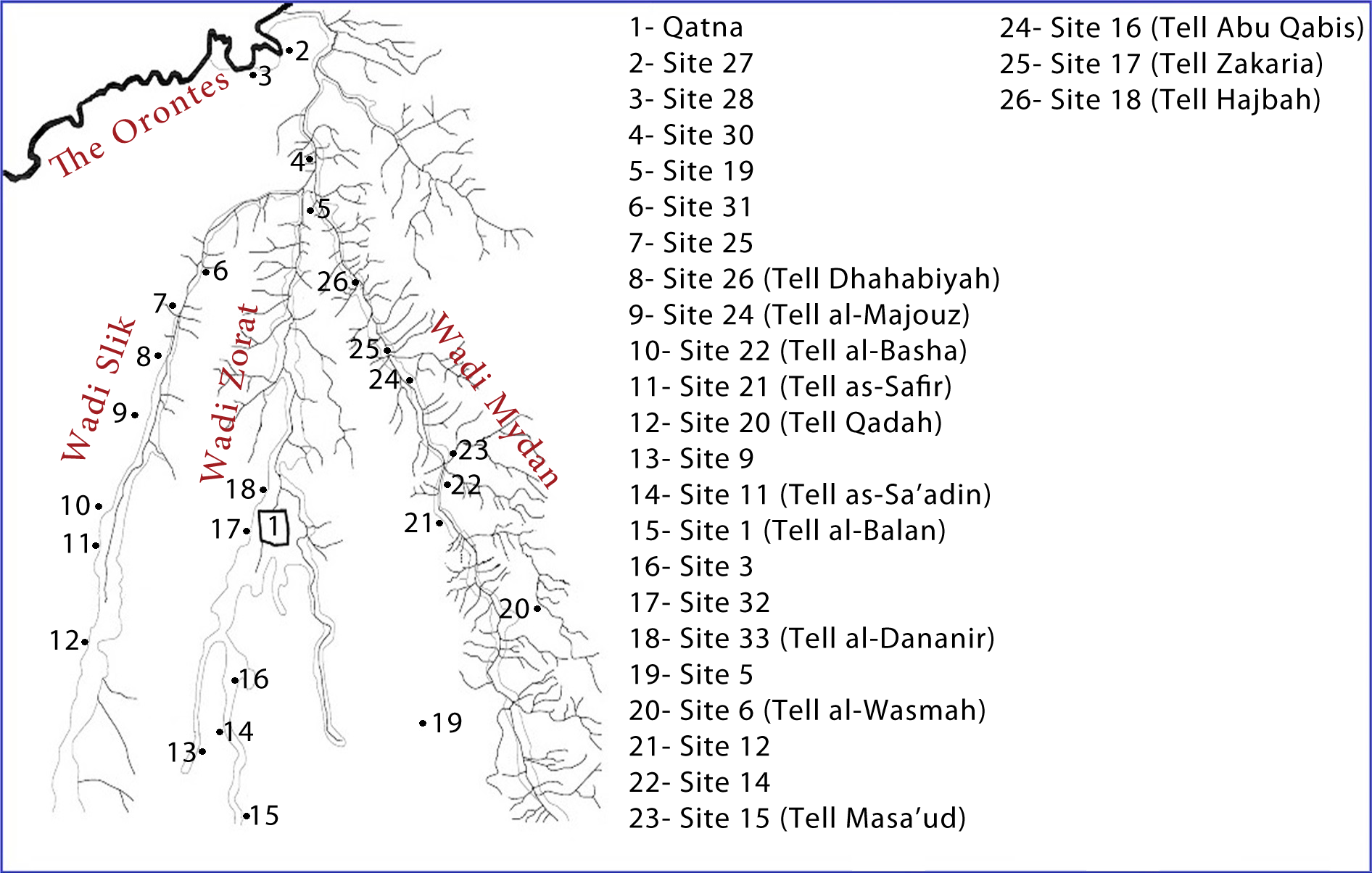
Qatna (modern: ar, تل المشرفة, Tell al-Mishrifeh) (also Tell Misrife or Tell Mishrifeh) was an ancient city located in Homs Governorate, Syria. Its remains constitute a tell situated about northeast of Homs near the village of al-Mishrifeh. The city was an important center through most of the second millennium BC and in the first half of the first millennium BC. It contained one of the largest royal palaces of Bronze Age Syria and an intact royal tomb that has provided a great amount of archaeological evidence on the funerary habits of that period. First inhabited for a short period in the second half of the fourth millennium BC, it was repopulated around 2800 BC and continued to grow. By 2000 BC, it became the capital of a regional kingdom that spread its authority over large swaths of the central and southern Levant. The kingdom enjoyed good relations with Mari, but was engaged in constant warfare against Yamhad. By the 15th century BC, Qatna lost its hegemony an ... [...More Info...] [...Related Items...] OR: [Wikipedia] [Google] [Baidu] |
Al-Ghantu
Al-Ghantoo ( ar, الغنطو) or al-Ghantu, ALA-LC: ''al-Ghānṭū'': but the original name is spelled: الغُنْثُر/ Al-Ghonthor, which means the land of fountains) is a town in the west of Syria, administratively part of the Homs Governorate, located north of Homs. Nearby towns include Talbisa to the northeast and Taldou further to the northwest. According to the Central Bureau of Statistics (CBS), al-Ghantu had a population of 9,412 in 2004.General Census of Population and Housing 2004 Syria Central Bureau of Statistics (CBS). Homs Governorate. Its inhabitants are predominantly |
Talbiseh
Talbiseh ( ar, تلبيسة, also spelled Talbisa, Tell Bisa, Talbeesa) is a large town in northwestern Syria administratively part of the Homs Governorate, about 10 kilometers north of Homs. Nearby localities include al-Rastan to the north, al-Ghantoo to the southwest and al-Mashrafah to the east. The old town of Talbiseh is situated on an isolated hill. According to the Central Bureau of Statistics (CBS) Talbiseh had a population of 30,796 in 2004.General Census of Population and Housing 2004 Syria Central Bureau of Statistics (CBS). Homs Governorate. Its inhabitants are mostly |
Homs
Homs ( , , , ; ar, حِمْص / ALA-LC: ; Levantine Arabic: / ''Ḥomṣ'' ), known in pre-Islamic Syria as Emesa ( ; grc, Ἔμεσα, Émesa), is a city in western Syria and the capital of the Homs Governorate. It is Metres above sea level, above sea level and is located north of Damascus. Located on the Orontes River, Homs is also the central link between the interior cities and the Mediterranean coast. Before the Syrian Civil War, Homs was a major industrial centre, and with a population of at least 652,609 people in 2004, it was the third-largest city in Syria after Aleppo to the north and the capital Damascus to the south. Its population reflects Syria's general religious diversity, composed of Sunni and Alawite Muslims, and Eastern Christianity, Christians. There are a number of historic mosques and churches in the city, and it is close to the Krak des Chevaliers castle, a World Heritage Site. Homs did not emerge into the historical record until the 1st century BCE a ... [...More Info...] [...Related Items...] OR: [Wikipedia] [Google] [Baidu] |
Districts Of Syria
The 14 governorates of Syria, or ''muhafazat'' (sing. ''muhafazah''), are divided into 65 districts, or ''manatiq'' (sing. ''mintaqah''), including the city of Damascus. The districts are further divided into 281 subdistricts, or ''nawahi'' (sing. ''nahiya''). Each district bears the same name as its district capital. Districts and subdistricts are administered by officials appointed by the governor, subject to the approval of the minister of the interior. These officials work with elected district councils to attend to assorted local needs, and serve as intermediaries between central government authority and traditional local leaders, such as village chiefs, clan leaders, and councils of elders. List of districts The 65 districts are listed below by governorate (with capital districts in bold text). The city of Damascus functions as a governorate, a district and a subdistrict. Parts of Quneitra Governorate have been under Israeli occupation since 1967 (see Golan Heights). Cen ... [...More Info...] [...Related Items...] OR: [Wikipedia] [Google] [Baidu] |


.jpg)
