|
Yodha Ela
Yoda Ela (Giant Canal) or Jaya Ganga, an long single banking water canal carrying excess water to Tissa Wewa reservoir from Kala Wewa reservoir in Anuradhapura. The Yodha Ela is known for achieving a rather low gradient for its time. The gradient is about 10 centimetres per kilometre or 6 inches per mile. Construction Yodha Ela was constructed during King Dathusena's reign in 459 AD. It is long. It is a trans-basin diversion canal transferring water from Kala Oya Basin to Malwathu Oya Basin. It has a gradient of the order of drop along . Even with modern day survey equipment it would be difficult to achieve such accuracy. Yodha Ela not only feeds Tissa Wewa, but also the nearby Abhaya Wewa and Nuwara Wewa. A separate branch of the canal has then already brought water to the Nachchaduwa wewa. [...More Info...] [...Related Items...] OR: [Wikipedia] [Google] [Baidu] |
Kala Wewa
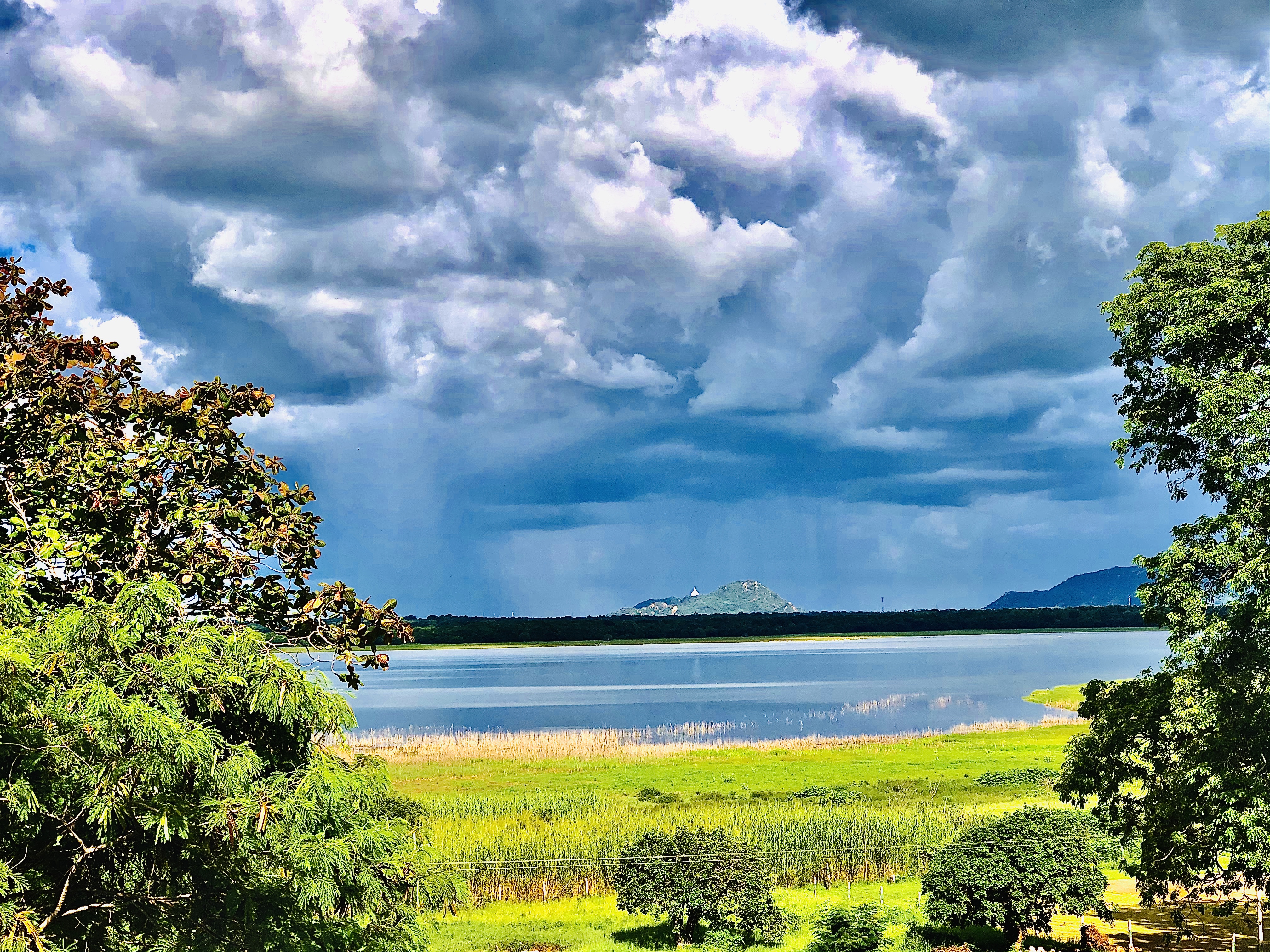
Kala Wewa ( Sinhala:කලා වැව) built by the King Datusena in 460 A.D, is a twin reservoir complex (Kala Wewa & Balalu Wewa) which has a capacity of 123 million cubic meters. This reservoir complex has facilitated with a stone made spillway and three main sluices. From the central major sluice, a 40 feet wide ''central conveys'' water to feed thousands of acres of paddy lands and ends at the historical capital Anuradhapura city tank Tissa Wewa meandering over at a slope of 6 inches per mile and is another wonder of primeval hydraulic engineering facility in ancient Ceylon. History This reservoir was built by the King Dhathusena who ruled the country during 454 – 473 CE in the 5th century. Tamil invaders who arrived from South India ruled the north part of the country during the period from 429 to 455 AD. King Dhathusena defeated the invaders and united the country and then he wanted to rebuild the irrigation system by constructing several tanks, canals, etc., i ... [...More Info...] [...Related Items...] OR: [Wikipedia] [Google] [Baidu] |
Kala Oya
The Kala Oya is the third longest river in Sri Lanka. It is approximately in length. The river has a basin size of , and more than 400,000 rural population live by the river basin. Its catchment area receives approximately 3,169 million cubic metres of rain per year, and approximately 5 percent of the water reaches the sea. It has a catchment area of 1,792 square kilometers. Tributaries * Dambulu Oya * Mirisgoni Oya * Hawanella oya * Moragolla Oya * Maninda Oya See also * List of dams and reservoirs in Sri Lanka The following page lists most dams in Sri Lanka. Most of these dams are governed by the Mahaweli Authority, while the Ceylon Electricity Board operates dams used for hydroelectric power generation. Hydroelectric dams, including small hydros acco ... * List of rivers of Sri Lanka References {{SriLanka-river-stub Rivers of Sri Lanka ... [...More Info...] [...Related Items...] OR: [Wikipedia] [Google] [Baidu] |
Tank Cascade System
The tank cascade system, or ''wewa-ellangava'' system, is an ancient Sri Lankan irrigation infrastructure. The system is a network of small tanks draining to large reservoirs that store rainwater and surface runoff for later use. Originating in the 1st millennium BCE, the system was designated a Globally Important Agricultural Heritage System by the United Nations Food and Agriculture Organization in 2017. Centralized bureaucratic management of large-scale systems was implemented from the 3rd to the 13th centuries. Geography The tank cascade system is largely located in the semi-arid north-central section of the island, which experiences equatorial heat, limited freshwater, and erratic rainfall patterns. Minimal groundwater storage capacity, high evaporation, and low or variable precipitation thanks to the monsoon cycle "in this hard rock region meant that no stable human settlement would have been possible without recourse to the storage of surface water in small tanks." Gra ... [...More Info...] [...Related Items...] OR: [Wikipedia] [Google] [Baidu] |
Paddy Field
A paddy field is a flooded field (agriculture), field of arable land used for growing Aquatic plant, semiaquatic crops, most notably rice and taro. It originates from the Neolithic rice-farming cultures of the Yangtze River basin in southern China, associated with Austronesian peoples#Neolithic China, pre-Austronesian and Hmong–Mien languages, Hmong-Mien cultures. It was spread in prehistoric times by the Austronesian peoples#Austronesian expansion, expansion of Austronesian peoples to Island Southeast Asia, Southeast Asia including Northeastern India, Madagascar, Melanesia, Micronesia, and Polynesia. The technology was also acquired by other cultures in mainland Asia for rice farming, spreading to East Asia, Mainland Southeast Asia, and South Asia. Fields can be built into steep hillsides as Terrace (agriculture), terraces or adjacent to depressed or steeply sloped features such as rivers or marshes. They require a great deal of labor and materials to create and need l ... [...More Info...] [...Related Items...] OR: [Wikipedia] [Google] [Baidu] |
Acequia
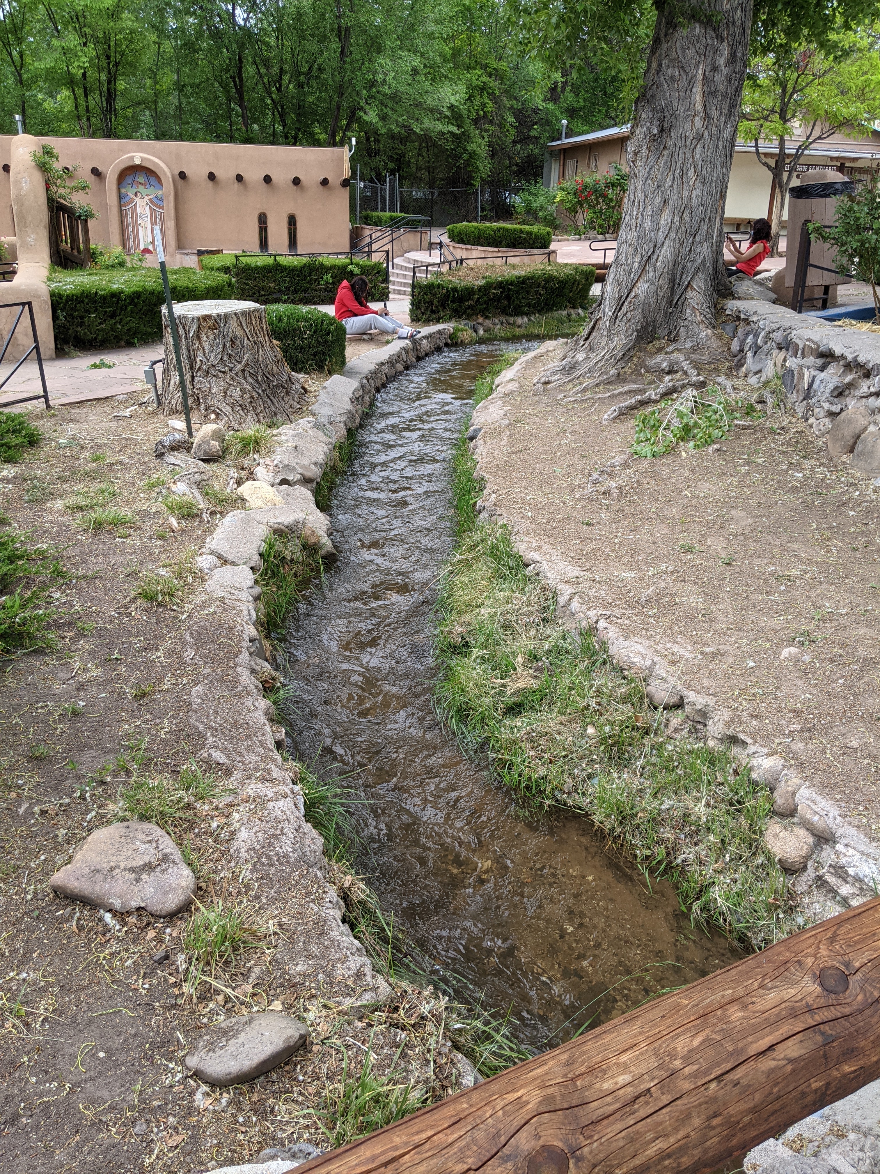
An acequia () or séquia () is a community-operated watercourse used in Spain and former Spanish colonies in the Americas for irrigation. Particularly in Spain, the Andes, northern Mexico, and the modern-day American Southwest particularly northern New Mexico and southern Colorado, acequias are usually historically engineered canals that carry snow runoff or river water to distant fields. Examples of acequias in New Mexico have lengthy historical roots to Pueblo and Hispano communities, and they are incorporated into traditions including the matachines, life in the Rio Grande Bosque of the Albuquerque metropolitan area, and pilgrimages to El Santuario de Chimayo. The term can also refer to the long central pool in a Moorish garden, such as the Generalife in the Alhambra in Southern Iberia. Overview The Spanish word (and Catalan ) comes from Classical Arabic , which has the double meaning of 'the water conduit' or 'one that bears water' and the 'barmaid' (from , 'to g ... [...More Info...] [...Related Items...] OR: [Wikipedia] [Google] [Baidu] |
Parakramabahu I
Parākramabāhu I ( Sinhala: මහා පරාක්රමබාහු, 1123–1186), or Parakramabahu the Great, was the king of Polonnaruwa from 1153 to 1186. He oversaw the expansion and beautification of his capital, constructed extensive irrigation systems, reorganised the country's army, reformed Buddhist practices, encouraged the arts and undertook military campaigns in South India and Burma. The adage "Not even a little water that comes from the rain must not flow into the ocean without being made useful to man" is one of his most famous utterances. In 1140, Parakramabahu following the death of his uncle, Kitti Sri Megha, Prince of Dakkinadesa, ascended the throne of Dakkhinadesa. Over the next decade, improved both Dakkhinadesi infrastructure and military. Following a protracted civil war, he secured power over the entire island around 1153 and remained in this position until his death in 1186. During Parākramabāhu's reign, he launched a punitive campaign against t ... [...More Info...] [...Related Items...] OR: [Wikipedia] [Google] [Baidu] |
Nachchaduwa Wewa
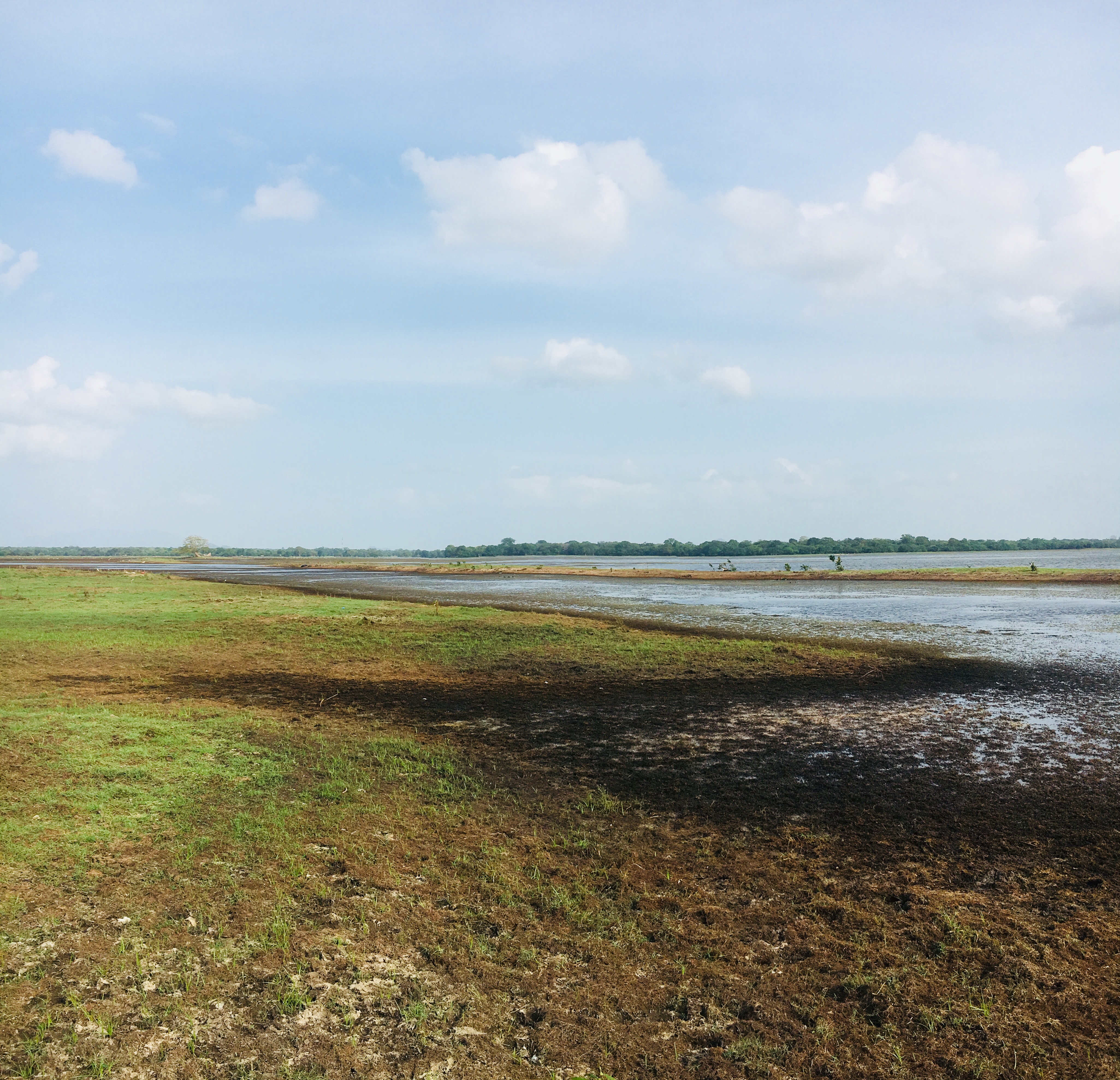
Nachchaduwa wewa (Also known as Mahadaragala Reservoir) is a reservoir near Thammannakulama, Sri Lanka. The reservoir is used to store water brings from Kala Wewa through Yoda Ela channel. The reservoir was severely damaged in 1957 flood and the restoration of the tank was completed in 1958. History This tank is believed to be one of the sixteen large reservoirs built by King Mahasen Mahasena, also known in some records as Mahasen, was a king of Sri Lanka who ruled the country from 277 to 304 CE. He started the construction of large tanks or reservoirs in Sri Lanka, and built sixteen such tanks. After becoming king, Mahasena ... (277 – 304). It is said that he built this tank to supply water to the city and to safeguard the city from floods. However the chronicle Mahavamsa have made a reference to this reservoir during the time of King Moggallana II (540 - 560). References Reservoirs in Sri Lanka Lakes of Sri Lanka {{SriLanka-geo-stub ... [...More Info...] [...Related Items...] OR: [Wikipedia] [Google] [Baidu] |
Abhayavapi
Abhaya Wewa (Sinhalese: ), historically Abhayavapi (Sinhalese: ) or Bassawak reservoir, is a reservoir in Sri Lanka, built by King Pandukabhaya who ruled in Anuradhapura from 437 BC to 367 BC, after constructing the city. It was constructed in 380 BC. The dam of the reservoir is 10 m high. The water of the reservoir is also accumulated in the Giritale and Kantalai. Currently, the reservoir is about 255 acres. The embankment of the reservoir is about 5910 feet long and 22 feet high above the sill level of the sluice. Size area is ; the length of the ''Waw Kandiya'' (Sinhalese: English: embankment Embankment may refer to: Geology and geography * A levee, an artificial bank raised above the immediately surrounding land to redirect or prevent flooding by a river, lake or sea * Embankment (earthworks), a raised bank to carry a road, railwa ...) is and height is . The width of the top of the embankment is to . Purpose Built inside the ancient Anuradhapura, it supplied wat ... [...More Info...] [...Related Items...] OR: [Wikipedia] [Google] [Baidu] |
List Of Surveying Instruments
Instruments used in surveying include: * Alidade * Alidade table * Cosmolabe * Dioptra * Dumpy level * Engineer's chain * Geodimeter * Graphometer * Groma (surveying) * Laser scanning * Level * Level staff * Measuring tape * Plane table * Pole (surveying) * Prism (surveying) (corner cube retroreflector) * Prismatic compass (angle measurement) * Ramsden surveying instruments * Ranging rod * Surveyor's chain * Surveyor's compass * Tachymeter (surveying) * Tape (surveying) * Tellurometer * Theodolite ** Half theodolite ** Plain theodolite ** Simple theodolite ** Great theodolite ** Non-transit theodolite ** Transit theodolite ** Seconds theodolite ** Electronic theodolite ** Mining theodolite ** Suspension theodolite ** Traveling theodolite ** Pibal theodolite ** Registering theodolite ** Gyro-theodolite ** Construction theodolite ** Photo-theodolite ** Robotic theodolite ** Vernier theodolite * Total station * Transit (surveying) * Tripod (surveying) * Uni ... [...More Info...] [...Related Items...] OR: [Wikipedia] [Google] [Baidu] |
Malvathu River
The Malwathu Oya ( si, මල්වතු ඔය Malwathu Oya, ta, அருவி ஆறு Aruvi Aru), at long, is the second longest river in Sri Lanka. The river originates in the North Central Province of Sri Lanka and enters the sea on the northwest coast, into the Gulf of Mannar, near Vankalai. It is a seasonal river that spans over 164 kilometers through paddy and forest lands, which are used by the inhabitants to cultivate for their survival.P.A.C.T. Perera, T.V. Sundarabarathy, T. Sivananthawerl, U. EdirisingheSeasonal variation of water quality parameters in different geomorphic channels of the upper Malwathu Oya in Anuradhapura, Sri LankaTrop. Agric. Res., 25 (2014), pp. 158-170 The river basin covers an area of (with a length of , a maximum width of at an average height of above sea level). The average annual rainfall in the basin area is . The Ritigala mountain range, which comprises four main peaks (the highest of which is over high), in the upper reaches o ... [...More Info...] [...Related Items...] OR: [Wikipedia] [Google] [Baidu] |
River Basin
A drainage basin is an area of land where all flowing surface water converges to a single point, such as a river mouth, or flows into another body of water, such as a lake or ocean. A basin is separated from adjacent basins by a perimeter, the ''drainage divide'', made up of a succession of elevated features, such as ridges and hills. A basin may consist of smaller basins that merge at river confluences, forming a hierarchical pattern. Other terms for a drainage basin are catchment area, catchment basin, drainage area, river basin, water basin, and impluvium. In North America, they are commonly called a watershed, though in other English-speaking places, "watershed" is used only in its original sense, that of a drainage divide. In a closed drainage basin, or endorheic basin, the water converges to a single point inside the basin, known as a sink, which may be a permanent lake, a dry lake, or a point where surface water is lost underground. Drainage basins are similar but n ... [...More Info...] [...Related Items...] OR: [Wikipedia] [Google] [Baidu] |
Dhatusena Of Anuradhapura
Dhatusena was a king of Sri Lanka who ruled from 455 to 473 AD. He was the first king of the Moriyan dynasty. In some records, he is also identified as Dasenkeli. Dhatusena reunited the country under his rule after twenty six years, defeating the six Dravidians that were ruling the country at that time. Dhatusena made eighteen irrigation tanks, a large irrigation canal known as Yodha Ela (Jaya ganga), and the Avukana Buddha statue, a large statue of Gautama Buddha. Early life and becoming king Dhatusena's ancestry is uncertain. The '' Cūḷavaṃsa'', the ancient chronicle of Sri Lanka, tells us that he was of royal lineage whose ancestors had fled the royal capital about three hundred years earlier. The country was invaded in 433 by Tamils apparently of or related to the Pandyan dynasty from South India, known as "the Six Dravidians". They overthrew Mittasena and ruled the Anuradhapura Kingdom for twenty-six years, from 433 to 459. During this time, Sinhalese leaders abandone ... [...More Info...] [...Related Items...] OR: [Wikipedia] [Google] [Baidu] |


.jpg)


