|
Yirandhali Language
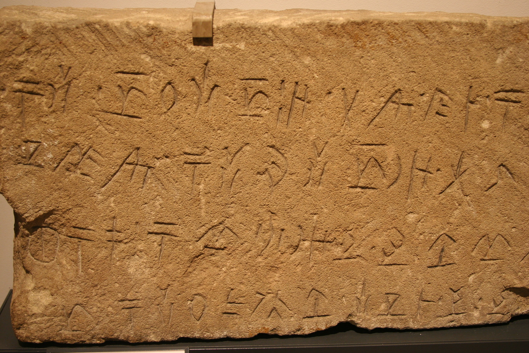
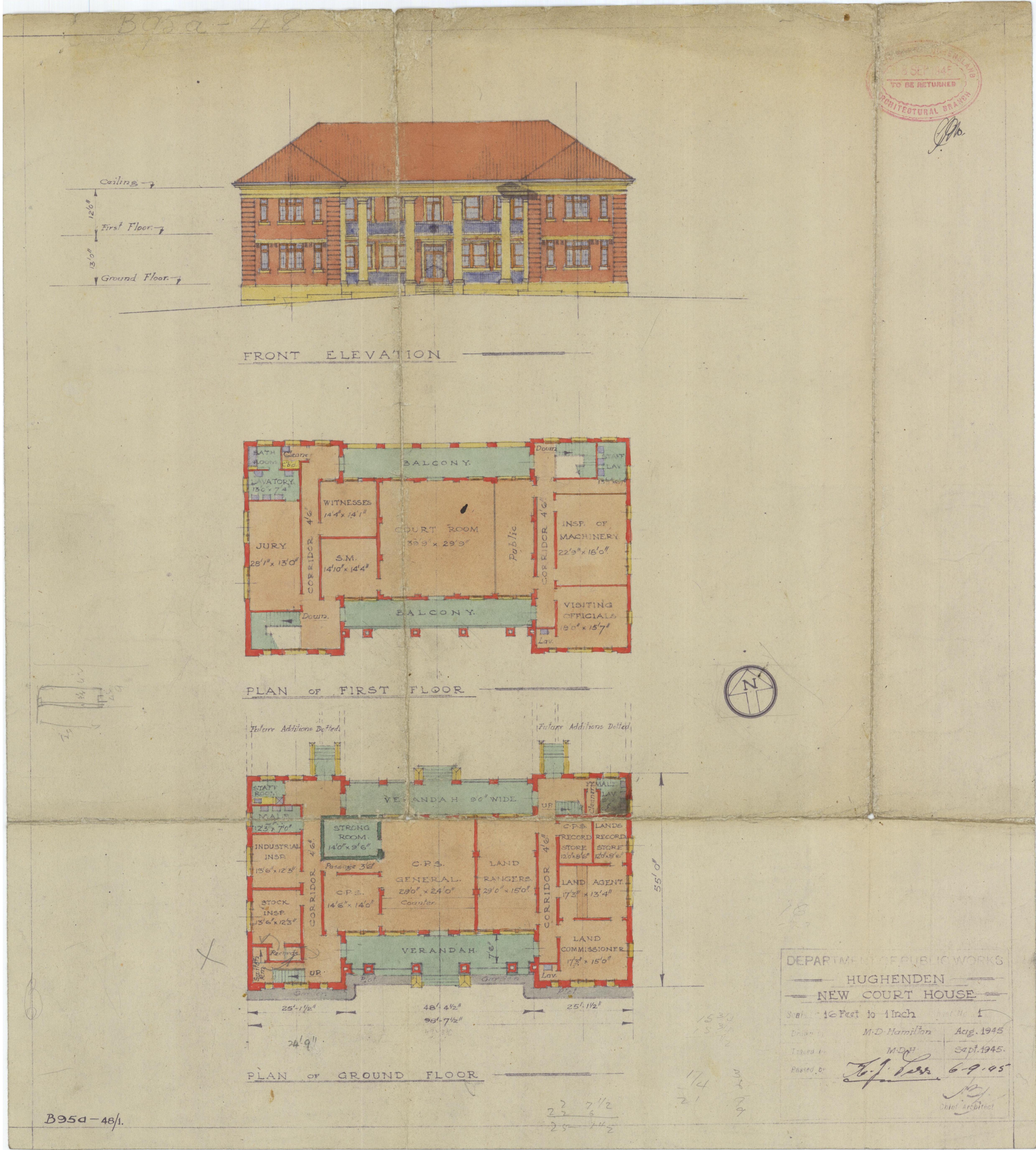
Yirandhali (Yirandali, Jirandali), also known as Pooroga, is an extinct Australian Aboriginal language of Hughenden in Central Queensland. Yirandhali is a Pama–Nyungan language. Dixon (2002) speculates that it may belong in the Maric branch of that family, but further research is required before this can be verified, due to the limited lexical material that is available in the language.Dixon, Robert (2002) ''Australian Languages: Their Nature and Development''. . There is very little information available about the languages of this region. Oral recounts suggest that the town area of Hughenden was a place that was passed through rather than a place that was used as a regular campsite. The Flinders River is often a dry river bed. At the nearby Porcupine Gorge, in an area known locally as 'the Tattoos', there are signs of Aboriginal rock drawings. This area would have been a more reliable source of water. Classification A Pama–Nyungan language, Dixon (2002) speculat ... [...More Info...] [...Related Items...] OR: [Wikipedia] [Google] [Baidu] |
Australia
Australia, officially the Commonwealth of Australia, is a Sovereign state, sovereign country comprising the mainland of the Australia (continent), Australian continent, the island of Tasmania, and numerous List of islands of Australia, smaller islands. With an area of , Australia is the largest country by area in Oceania and the world's List of countries and dependencies by area, sixth-largest country. Australia is the oldest, flattest, and driest inhabited continent, with the least fertile soils. It is a Megadiverse countries, megadiverse country, and its size gives it a wide variety of landscapes and climates, with Deserts of Australia, deserts in the centre, tropical Forests of Australia, rainforests in the north-east, and List of mountains in Australia, mountain ranges in the south-east. The ancestors of Aboriginal Australians began arriving from south east Asia approximately Early human migrations#Nearby Oceania, 65,000 years ago, during the Last Glacial Period, last i ... [...More Info...] [...Related Items...] OR: [Wikipedia] [Google] [Baidu] |
Queensland
) , nickname = Sunshine State , image_map = Queensland in Australia.svg , map_caption = Location of Queensland in Australia , subdivision_type = Country , subdivision_name = Australia , established_title = Before federation , established_date = Colony of Queensland , established_title2 = Separation from New South Wales , established_date2 = 6 June 1859 , established_title3 = Federation , established_date3 = 1 January 1901 , named_for = Queen Victoria , demonym = , capital = Brisbane , largest_city = capital , coordinates = , admin_center_type = Administration , admin_center = 77 local government areas , leader_title1 = Monarch , leader_name1 = Charles III , leader_title2 = Governor , leader_name2 = Jeannette Young , leader_title3 = Premier , leader_name3 = Annastacia Palaszczuk ( ALP) , legislature = Parliament of Queensland , judiciary = Supreme Court of Queensland , national_representation = Parliament of Australia , national_representation_type ... [...More Info...] [...Related Items...] OR: [Wikipedia] [Google] [Baidu] |
Yirandhali
The Yirandhali are an indigenous Australian people, who lived in the area of the present day Shire of Flinders in the state of Queensland. Language Yirandhali may possibly. according to Robert Dixon, belong to the Maric branch of the Pama–Nyungan language family. According to Peter Sutton, the list of words given by an early settler, M. Armstrong of the language of the Upper Cape River, which Tindale ascribes to the Yilba, actually refers to the Yirandhali language. Country The Yirandhali had an estimated territorial estate, according to Norman Tindale, of around . The heartland of their country lay west of the Great Dividing Range, around the upper Dutton and Flinders rivers and stretched from neaMount Sturgeonsouthwards as far as Caledonia. Their western limits lay close to Richmond, Corfield, and the area east of Winton. The Yirandhali were the indigenous peoples of Torrens, Tower Hill, and Landsborough Creeks, of Lammermoor, Hughenden and Tangorin. Watering on Yir ... [...More Info...] [...Related Items...] OR: [Wikipedia] [Google] [Baidu] |
Pama–Nyungan Languages
The Pama–Nyungan languages are the most widespread family of Australian Aboriginal languages, containing 306 out of 400 Aboriginal languages in Australia. The name "Pama–Nyungan" is a merism: it derived from the two end-points of the range: the Pama languages of northeast Australia (where the word for "man" is ) and the Nyungan languages of southwest Australia (where the word for "man" is ). The other language families indigenous to the continent of Australia are occasionally referred to, by exclusion, as non-Pama–Nyungan languages, though this is not a taxonomic term. The Pama–Nyungan family accounts for most of the geographic spread, most of the Aboriginal population, and the greatest number of languages. Most of the Pama–Nyungan languages are spoken by small ethnic groups of hundreds of speakers or fewer. The vast majority of languages, either due to disease or elimination of their speakers, have become extinct, and almost all remaining ones are endangered in some ... [...More Info...] [...Related Items...] OR: [Wikipedia] [Google] [Baidu] |
Maric Languages
Maran or Maric is an extinct branch of the Pama–Nyungan family of Australian languages formerly spoken throughout much of Queensland by many of the Murri peoples. The well attested Maric languages are clearly related; however, many languages of the area became extinct before much could be documented of them, and their classification is uncertain. The clear Maric languages are: : Bidyara (numerous varieties) : Biri (several varieties) : Warrungu (& Gugu-Badhun, Gudjal) :( Kingkel?): Darumbal Dharumbal was added by Bowern (2011); it had been classified in the Kingkel branch of Waka–Kabic. It is not clear if the other Kingkel language, Bayali, is also Maric; Bayali and Darumbal are not close. Unclassified languages Ngaro and Giya (Bumbarra), spoken on the coast, may also have been Maric, the latter perhaps a dialect of Biri. Of the interior, to the west, Breen (2007) writes of "Karna–Mari fringe" languages which are "a discontinuous group of languages, mostly poorly a ... [...More Info...] [...Related Items...] OR: [Wikipedia] [Google] [Baidu] |
Extinct Language
An extinct language is a language that no longer has any speakers, especially if the language has no living descendants. In contrast, a dead language is one that is no longer the native language of any community, even if it is still in use, like Latin. A dormant language is a dead language that still serves as a symbol of ethnic identity to a particular group. These languages are often undergoing a process of revitalisation. Languages that currently have living native speakers are sometimes called modern languages to contrast them with dead languages, especially in educational contexts. In the modern period, languages have typically become extinct as a result of the process of cultural assimilation leading to language shift, and the gradual abandonment of a native language in favour of a foreign ''lingua franca'', largely those of European countries. As of the 2000s, a total of roughly 7,000 natively spoken languages existed worldwide. Most of these are minor languages in dang ... [...More Info...] [...Related Items...] OR: [Wikipedia] [Google] [Baidu] |
Australian Aboriginal Language
The Indigenous languages of Australia number in the hundreds, the precise number being quite uncertain, although there is a range of estimates from a minimum of around 250 (using the technical definition of 'language' as non-mutually intelligible varieties) up to possibly 363. The Indigenous languages of Australia comprise numerous language families and isolates, perhaps as many as 13, spoken by the Indigenous peoples of mainland Australia and a few nearby islands. The relationships between the language families are not clear at present although there are proposals to link some into larger groupings. Despite this uncertainty, the Indigenous Australian languages are collectively covered by the technical term "Australian languages", or the "Australian family". The term can include both Tasmanian languages and the Western Torres Strait language, but the genetic relationship to the mainland Australian languages of the former is unknown, while the latter is Pama–Nyungan, thoug ... [...More Info...] [...Related Items...] OR: [Wikipedia] [Google] [Baidu] |
Hughenden, Queensland
Hughenden is a rural town and locality in the Flinders Shire, Queensland, Australia. In the , the locality of Hughenden had a population of 1,136 people. Geography Hughenden is situated on the banks of the Flinders River. Hughenden has the following mountains (from west to east): * Mount Walker () * Mount Mowbray () * Mount Devlin () * Mount Castor () * Mount Beckford () Hughenden is located on the Flinders Highway, west of Townsville and north-west of Brisbane, the state capital. The region around Hughenden is a major centre for the grazing of sheep and cattle. The main feed is annual grasses known as Flinders grass, which grow rapidly on the (by Australian standards) fertile grey or brown cracking clay soils after rain between November and March. However, because the rainfall is extremely erratic – at Hughenden itself it has ranged from in 1926 to in 1950 – droughts and floods are normal and stock numbers fluctuate greatly. The runoff from the Flinders R ... [...More Info...] [...Related Items...] OR: [Wikipedia] [Google] [Baidu] |
Flinders River
The Flinders River is the longest river in Queensland, Australia, at approximately . It was named in honour of the explorer Matthew Flinders. The catchment is sparsely populated and mostly undeveloped. The Flinders rises on the western slopes of the Great Dividing Range in North West Queensland and flows generally north-west through the Gulf Country, across a large, flat clay pan, before entering the Gulf of Carpentaria. Course and features The River rises in the Burra Range, part of the Great Dividing Range, north-east of Hughenden and flows in a westerly direction past Hughenden, Richmond and Julia Creek, then north-west to the Gulf of Carpentaria west of . The catchment is bordered to the south by the Selwyn Range. At in length, it is the eighth-longest river in Australia. The catchment covers . The primary land use in the catchment is grazing and other agriculture, the catchment covers 1.5% of the continent. A total of 36 tributaries flow into the Flinders, the pr ... [...More Info...] [...Related Items...] OR: [Wikipedia] [Google] [Baidu] |
Porcupine Gorge
Porcupine Gorge is a gorge on Galah Creek in Porcupine, Shire of Flinders in North West Queensland, Australia. It is a protected area within the Porcupine Gorge National Park. Access to the gorge and national park is via the Kennedy Development Road. The sandstone Sandstone is a clastic sedimentary rock composed mainly of sand-sized (0.0625 to 2 mm) silicate grains. Sandstones comprise about 20–25% of all sedimentary rocks. Most sandstone is composed of quartz or feldspar (both silicates ... gorge has incised up to 40 m below the adjacent plateau surface. In winter the base of the gorge is a series of waterholes while in the wet season it becomes a raging cascade which has excavated a deep chasm. There is an annual race held in the gorge called the Porcupine Gorge Challenge. It starts at the bottom of the gorge at The Pyramid. The gorge is a natural attraction for a diverse array of birdlife. Stratigraphy Betts Creek Beds The Betts Creek Bed ... [...More Info...] [...Related Items...] OR: [Wikipedia] [Google] [Baidu] |


