|
Yell Sound
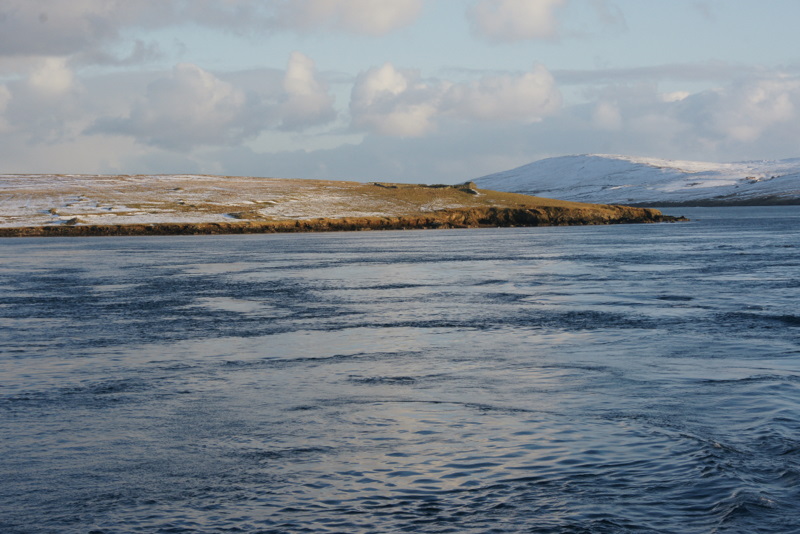
Yell Sound is the strait running between Yell (island), Yell and Mainland, Shetland, Scotland. It is the boundary between the Mainland and the North Isles and it contains many small islands. Sullom Voe, on the shores of which is a substantial oil terminal, is an arm of Yell Sound. The ferry to the North Isles crosses the sound, which can experience strong tides and adverse weather conditions. There are numerous shipwreck sites and several lighthouses to guide shipping. Yell Sound is mentioned briefly in the medieval ''Orkneyinga saga'' and during the 19th century there was a short flourishing of the kelp industry. Commercial fishing has long been a mainstay of the local economy and part of the sound is as Special Area of Conservation set up to protect the local wildlife. Early history The Old Norse name was ''Alasund'' although the original meaning of the name is not clear.Anderson, Joseph (Ed.) (1893) ''Orkneyinga Saga''. Translated by Jón A. Hjaltalin & Gilbert Goudie. Edinbu ... [...More Info...] [...Related Items...] OR: [Wikipedia] [Google] [Baidu] |
Little Holm, Yell Sound
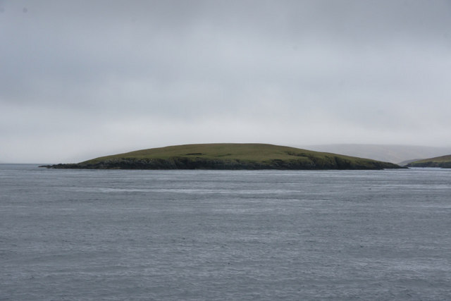
Little Holm is a small island in Yell Sound, in Shetland, Scotland. It lies between Northmavine and the island of Yell. There is a lighthouse here. In 1983, the Royal Navy cleared ordnance from the area, and their bomb disposal team discovered an unrecorded shipwreck nearby. Its identity is still unknown.ShetlopediaLittle Holm (Yell Sound)/ref> See also * List of lighthouses in Scotland * List of Northern Lighthouse Board lighthouses This is a list of the currently operational lighthouses of the Northern Lighthouse Board (NLB). The list is divided by geographical location, and then by whether the lighthouses are classed by the NLB as a 'major lighthouse' or a 'minor light'. F ... References External links Northern Lighthouse Board Uninhabited islands of Shetland {{UK-lighthouse-stub ... [...More Info...] [...Related Items...] OR: [Wikipedia] [Google] [Baidu] |
Ramna Stacks
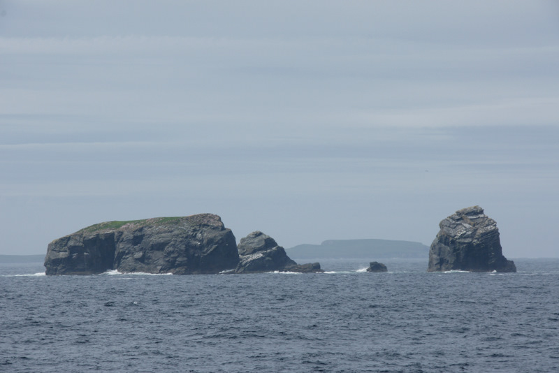
The Ramna Stacks are a group of skerries in the Shetland islands. They are north of the northern tip of Mainland, and along with nearby Gruney they are a special protection area on account of their birdlife. From north to south they consist of: *Gaut Skerries *Outer Stack *Scordar *Turla *Speolk *Hyter (formerly Driter) *Stab *Ofoora *Fladda (which has a natural arch and two caves) *Flae-ass *Barlcudda Gruney and the islet of The Club lie just to the south of the Ramna Stacks. See also * List of islands of Scotland This is a list of islands of Scotland, the mainland of which is part of the island of Great Britain. Also included are various other related tables and lists. The definition of an offshore island used in this list is "land that is surrounded by ... * List of Special Protection Areas in Scotland * List of Shetland islands References External links Site with map Uninhabited islands of Shetland Stacks of Scotland Skerries of Scotland Underwater d ... [...More Info...] [...Related Items...] OR: [Wikipedia] [Google] [Baidu] |
Wether Holm, Hamnavoe
{{disambiguation, geo ...
Wether may refer to: *A castrated male goat *A castrated male sheep *A misspelling of weather *A misspelling of whether *Wether Down, a hill in Hampshire *Wether Hill (Lake District), a hill in Cumbria *Wether Holm (other) See also *Wethers, a surname *Bellwether A bellwether is a leader or an indicator of trends.bellwether " ''Cambridge Dictionary''. Ret ... [...More Info...] [...Related Items...] OR: [Wikipedia] [Google] [Baidu] |
Linga, Yell
Linga is a very small uninhabited island in the Bluemull Sound, Shetland, Scotland. It is one of many islands in Shetland called Linga. It has an area of 45 ha and is 26m at its highest point. Geography and geology Linga is made up of "coarse mica-schist and gneiss". It is situated off the east coast of Yell, near the village of Gutcher, and has an area of . It is separated from Yell by Linga Sound, and Unst is to the north east. Sound Gruney, Urie Lingey are to the south east, and Hascosay to the south. There is little freshwater on the island. History It is said that Jan Tait of Fetlar once kept a bear on the island, and this is commemorated in the placename - "Bear's Bait". It was said to be from Norway, where he had been taken for trial for murder, but he was pardoned for capturing this particular bear, which had been causing problems over there. An abandoned chapel is located on the island. An unknown duke once planned to build a large house there after buying l ... [...More Info...] [...Related Items...] OR: [Wikipedia] [Google] [Baidu] |
Fish Holm
Fish Holm is a small island, east of Mainland, Shetland. It is near the village of Mossbank. It is at its highest point, and a mile south of Samphrey in Yell Sound Yell Sound is the strait running between Yell (island), Yell and Mainland, Shetland, Scotland. It is the boundary between the Mainland and the North Isles and it contains many small islands. Sullom Voe, on the shores of which is a substantial oi .... References Shetlopedia Uninhabited islands of Shetland {{Shetland-geo-stub ... [...More Info...] [...Related Items...] OR: [Wikipedia] [Google] [Baidu] |
Uynarey
Uynarey is one of the Shetland islands in Yell Sound, just to the north of Bigga, and east of Brother Island. It is an RSPB reserve.Haswell-Smith, Hamish. (2004) The Scottish Islands. Edinburgh. Canongate. The name comes from the Norse for "venerated island", and this may reflect a Culdee connection. Geology and geography There is a small bay in the east - Haa Geo, and a cave in the west. The North end is called "the Niv". It is approximately long. The geology is moine gneiss and quartzite. It has steep sides, and is over tall. File:View over Uynarey - geograph.org.uk - 1744904.jpg, View over Uynarey looking across the islands of Uynarey and Brother Isle in Yell Sound towards Ronas Hill. File:North end of Uynarey - geograph.org.uk - 873714.jpg, North end of Uynarey File:South end of Uynarey - geograph.org.uk - 873710.jpg, :South end of Uynarey See also * List of islands of Scotland This is a list of islands of Scotland, the mainland of which is part of the island ... [...More Info...] [...Related Items...] OR: [Wikipedia] [Google] [Baidu] |
Samphrey
Samphrey ( sco, Samphrey; non, Sandfriðarey) is an uninhabited island in the Shetland Islands, Scotland. One of Fair Isle's old names is "Friðarey" which is of similar origin. It is situated in the southern end of Yell Sound, between the Mainland, Shetland at Mossbank and the island of Yell. On the O-S 1:50,000 map it covers an area of about 66 ha (including the once separate island of Bunglan). It is in the parish of Delting. To the north west of Samphrey is Bunglan, which was once an island in its own right, but has become silted up by two tombolos, which now connect it to Samphrey. There is a small loch between Bunglan and Samphrey proper, which can just about be seen on the aerial picture. Blaeu's ''Atlas Maior The ''Atlas Maior'' is the final version of Joan Blaeu's atlas, published in Amsterdam between 1662 and 1672, in Latin (11 volumes), French (12 volumes), Dutch (9 volumes), German (10 volumes) and Spanish (10 volumes), containing 594 maps and a ...'' c ... [...More Info...] [...Related Items...] OR: [Wikipedia] [Google] [Baidu] |
Little Roe
Little Roe is an island in Yell Sound in the Shetland Islands History The island's name is Norse in origin, from , meaning "small red island" in contradistinction to Muckle Roe, which is ''not'' nearby, but in St Magnus Bay. In 1841, eleven people lived here, all in the same house.Haswell-Smith, Hamish. (2004) ''The Scottish Islands''. Edinburgh. Canongate. A light beacon has been built on the island. Geography and geology The island's name derives from its red granite. It is at , due east of the Northmavine at the entrance to Sullom Voe. Lamba is due north, and Uynarey, Brother Isle and Bigga between it and Yell Wildlife Otters occasionally visit here, and puffins and storm petrels also nest here. See also * List of islands of Scotland This is a list of islands of Scotland, the mainland of which is part of the island of Great Britain. Also included are various other related tables and lists. The definition of an offshore island used in this list is "land that is sur ... [...More Info...] [...Related Items...] OR: [Wikipedia] [Google] [Baidu] |
Orfasay
Orfasay (Old Norse: ''Orfyrisey'', meaning "tidal island") is one of the Shetland Islands. Geography Orfasay is a tidal island in Yell Sound, connected to Yell at low tide. This is reflected in the island's name. It is near the mouth of Hamna Voe and Cuppister in Yell. The island is uninhabited but two structures on the North-West side of the island can be seen. The structures have no roofs, implying that they are ruined buildings and indicating that the island was inhabited in the past. See also * List of islands of Scotland This is a list of islands of Scotland, the mainland of which is part of the island of Great Britain. Also included are various other related tables and lists. The definition of an offshore island used in this list is "land that is surrounded by ... References Uninhabited islands of Shetland Yell, Shetland {{Shetland-geo-stub ... [...More Info...] [...Related Items...] OR: [Wikipedia] [Google] [Baidu] |
Lamba (island)
Lamba is an uninhabited island in Yell Sound in Shetland. It lies north of the entrance to the Sullom Voe inlet and east of the Mainland coastline near Ollaberry. Rising 35 metres above sea level, it has an area of . Its main features are a 27m high light marking the entrance to Sullom Voe, and an adjacent communications mast. There are similarly named places, Lamba (Faroe Islands), Lamba in the Faroe Islands and Lambay Island, Lambay in Republic of Ireland, Ireland. Footnotes Uninhabited islands of Shetland {{Shetland-geo-stub ... [...More Info...] [...Related Items...] OR: [Wikipedia] [Google] [Baidu] |
Brother Isle
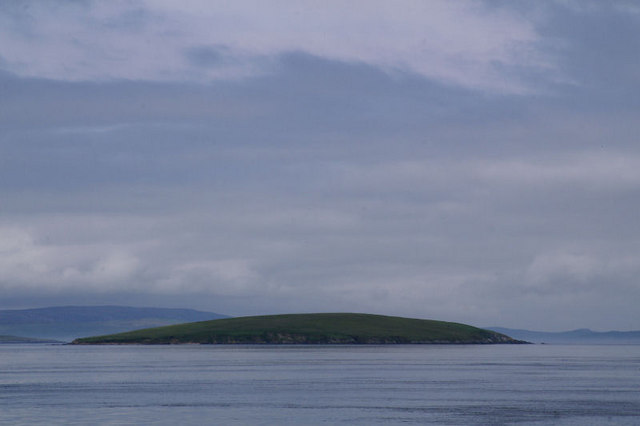
Brother Isle ( non, breiðare øy meaning broad beach island) is a small, uninhabited island in Shetland, Scotland. It lies between the islands of Yell and Shetland Mainland. It is in size. Geography and geology The island's rock is "undifferentiated moine gneiss and quartzite." History It is sometimes assumed that the "Brother" in the name refers to Culdees/''papar The Papar (; from Latin ''papa'', via Old Irish, meaning "father" or "pope") were, according to early Icelandic sagas, Irish monks who took eremitic residence in parts of what is now Iceland before that island's habitation by the Norsemen of S ...'' who were frequent inhabitants of the smaller islands, however, in this case there is no apparent evidence for this claim, and it would appear to be merely folk etymology. At only 40 hectares in size (about 1/6 of a sq. mile) and surrounded by tidal rips which make landing difficult, it would seem unlikely that the island has ever been inhabited. However, ... [...More Info...] [...Related Items...] OR: [Wikipedia] [Google] [Baidu] |


