|
Xieng Khouang (city)
Xiangkhouang may refer to: * Xiangkhouang Province, Laos * Xiangkhoang Plateau The Xiang Khouang Plateau or Xiang Khwang Plateau, also known in French as Plateau dTran-Ninh'' is a plateau in the north of Laos. The landscape is characterized by green mountains, rugged karst formations and verdant valleys with plenty of rivers, ..., Laos * Xieng Khouang Airport {{Disambig, geo ... [...More Info...] [...Related Items...] OR: [Wikipedia] [Google] [Baidu] |
Xiangkhouang Province
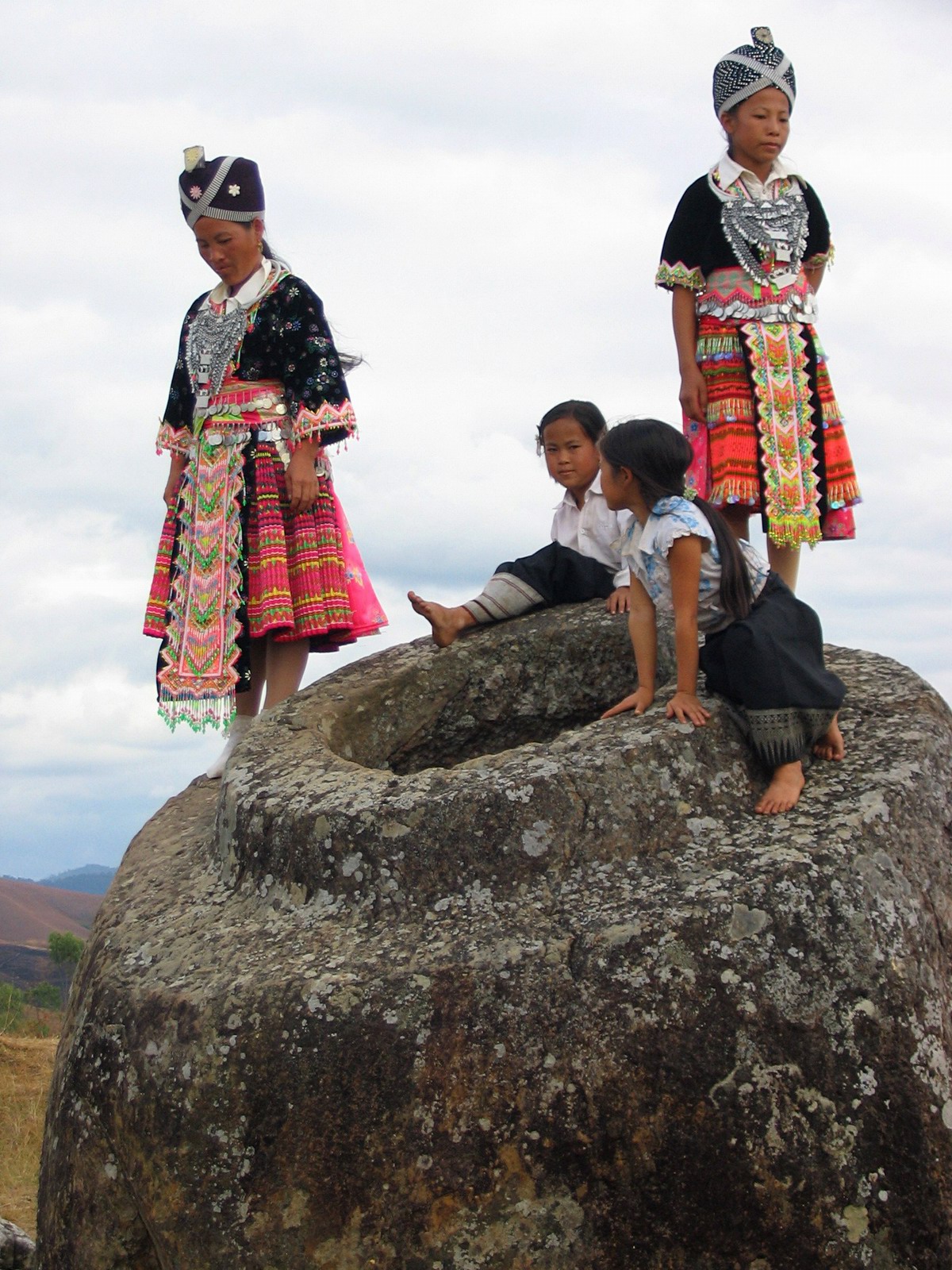
Xiangkhouang ( Lao: ຊຽງຂວາງ, meaning 'Horizontal City') is a province of Laos on the Xiangkhoang Plateau, in the nation's northeast. The province has the distinction of being the most heavily bombed place on Earth. The province was originally known as the Principality of ''Muang Phuan'' (Muang Phouan / Xieng Khouang). Its present capital is Phonsavan. The population of the province as of the 2015 census was 244,684. Xiangkhouang province covers an area of and is mountainous. Apart from floodplains, the largest area of level land in the country is on the province's Xiangkhoang Plateau. The plateau is characterized by rolling hills and grassland whose elevation averages . The country's highest peak, Phou Bia (), rises at the south side of the plateau. Nam Et-Phou Louey is a National Biodiversity Conservation Area (NBCA) in the province, covering an area of 5,959 km2, and overlaps into Houaphanh and Luang Prabang provinces. The province's Plain of Jars was ... [...More Info...] [...Related Items...] OR: [Wikipedia] [Google] [Baidu] |
Xiangkhoang Plateau
The Xiang Khouang Plateau or Xiang Khwang Plateau, also known in French as Plateau dTran-Ninh'' is a plateau in the north of Laos. The landscape is characterized by green mountains, rugged karst formations and verdant valleys with plenty of rivers, caves and waterfalls. Geography The Luang Prabang Range, and the Annamite Range separate the plateau from Thailand and Vietnam respectively. The ranges of the plateau are sandstone and limestone mountains between 2000 and 2800 meters high (about 6561 and 9842 feet high). These have been heavily deforested. The highest mountain of Laos, Phou Bia, is located to the south of the Xiangkhoang. Altitudes within the plateau area may reach 1000 m. Several tributaries of the Mekong drain in the plateau, such as the Nam Ngum, Ngiap and the Khan River. The major town in the area is the capital of Phonsavan. The plateau gives its name to present-day Xiangkhouang Province in which Phonsavan is located. History The plateau is the location of the P ... [...More Info...] [...Related Items...] OR: [Wikipedia] [Google] [Baidu] |
