|
Wokingham Rural District
Wokingham Rural District was a rural district in the county of Berkshire, England. It was created in 1894. It was named after and administered from Wokingham Wokingham is a market town in Berkshire, England, west of London, southeast of Reading, north of Camberley and west of Bracknell. History Wokingham means 'Wocca's people's home'. Wocca was apparently a Saxon chieftain who may ..., though this was a separate municipal borough. Since 1 April 1974 it has formed part of the Borough of Wokingham. Civil parishes At the time of its dissolution Wokingham RD consisted of the following 17 civil parishes: *Arborfield and Newland, Arborfield *Barkham *Charvil *Earley *Finchampstead *Arborfield and Newland, Newland *Remenham *Ruscombe *Shinfield *Sonning *Hurst, Berkshire, St Nicholas Hurst *Swallowfield *Twyford, Berkshire, Twyford *Wargrave *Winnersh *Wokingham Without *Woodley, Berkshire, Woodley and Sandford Wokingham, Former districts of Berksh ... [...More Info...] [...Related Items...] OR: [Wikipedia] [Google] [Baidu] |
Wokingham
Wokingham is a market town in Berkshire, England, west of London, southeast of Reading, north of Camberley and west of Bracknell. History Wokingham means 'Wocca's people's home'. Wocca was apparently a Saxon chieftain who may also have owned lands at Wokefield in Berkshire and Woking in Surrey. In Victorian times, the name became corrupted to ''Oakingham'', and consequently the acorn with oak leaves is the town's heraldic charge, granted in the 19th century. Geologically, Wokingham sits at the northern end of the Bagshot Formation, overlying London clay, suggesting a prehistorical origin as a marine estuary. The courts of Windsor Forest were held at Wokingham and the town had the right to hold a market from 1219. The Bishop of Salisbury was largely responsible for the growth of the town during this period. He set out roads and plots making them available for rent. There are records showing that in 1258 he bought the rights to hold three town fairs every year. E ... [...More Info...] [...Related Items...] OR: [Wikipedia] [Google] [Baidu] |
Ruscombe
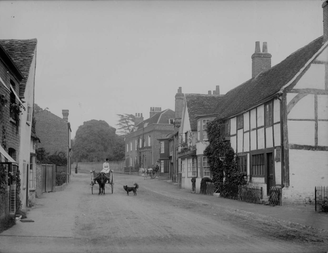
Ruscombe is a village and civil parish, east of Twyford in the Borough of Wokingham in Berkshire, England. History Reports from the late 1800s provided summaries of the status of the village; in 1876, the population was 200 and that increased to 349 by 1895. The village was served by a National school. The primary landowners were TC Garth and Rev. A Barker. St James the Great church was described as "a building of flint and brick, consisting of chancel, nave, south porch, and an embattled western tower". A history of the parish published in 1923 provided extensive coverage of the previous centuries. At that time, the settlement included "a few modern cottages" as well as the manor and church. Parish church The Church of England parish church of St James was built in the late 12th century. Its Norman chancel survives but its nave and west tower were rebuilt in 1638–39. Additional modifications were made in the 1800s. The church has been a Grade I listed building since 1967. ... [...More Info...] [...Related Items...] OR: [Wikipedia] [Google] [Baidu] |
Districts Of England Abolished By The Local Government Act 1972
A district is a type of administrative division that, in some countries, is managed by the local government. Across the world, areas known as "districts" vary greatly in size, spanning regions or counties, several municipalities, subdivisions of municipalities, school district, or political district. By country/region Afghanistan In Afghanistan, a district (Persian ps, ولسوالۍ ) is a subdivision of a province. There are almost 400 districts in the country. Australia Electoral districts are used in state elections. Districts were also used in several states as cadastral units for land titles. Some were used as squatting districts. New South Wales had several different types of districts used in the 21st century. Austria In Austria, the word is used with different meanings in three different contexts: * Some of the tasks of the administrative branch of the national and regional governments are fulfilled by the 95 district administrative offices (). The area a dist ... [...More Info...] [...Related Items...] OR: [Wikipedia] [Google] [Baidu] |
Former Districts Of Berkshire
A former is an object, such as a template, gauge or cutting die, which is used to form something such as a boat's hull. Typically, a former gives shape to a structure that may have complex curvature. A former may become an integral part of the finished structure, as in an aircraft fuselage, or it may be removable, being using in the construction process and then discarded or re-used. Aircraft formers Formers are used in the construction of aircraft fuselage, of which a typical fuselage has a series from the nose to the empennage, typically perpendicular to the longitudinal axis of the aircraft. The primary purpose of formers is to establish the shape of the fuselage and reduce the column length of stringers to prevent instability. Formers are typically attached to longerons, which support the skin of the aircraft. The "former-and-longeron" technique (also called stations and stringers) was adopted from boat construction, and was typical of light aircraft built until the ... [...More Info...] [...Related Items...] OR: [Wikipedia] [Google] [Baidu] |
Woodley, Berkshire
Woodley is a town and civil parish in the Borough of Wokingham, Berkshire, England, east of Reading and joined to the neighbouring town of Earley, to the west, and from Wokingham. Nearby are the villages of Sonning, Twyford, Winnersh, Hurst and Charvil. History The toponym Woodley is derived from Old English words meaning "a clearing in the wood". Anciently, Woodley was part of the ecclesiastical parish of Sonning. Woodley was not mentioned in the Domesday Book. The first written record of the name was in The Register of St Osmund, which is housed in the archives of Salisbury Cathedral. St Osmund was Bishop of Salisbury between 1074 and 1099. The document states that St Osmund visited Sonning and says: "Osbertus de Woodleghe holds a dwelling house and yard and is able to pasture his pigs on the Lord of the Manor's woods". The 1550 Survey of Sonning, housed in Berkshire Record Office, includes the first modern spelling of the name Woodley. In the west of Woodley, Old Bulmersh ... [...More Info...] [...Related Items...] OR: [Wikipedia] [Google] [Baidu] |
Wokingham Without
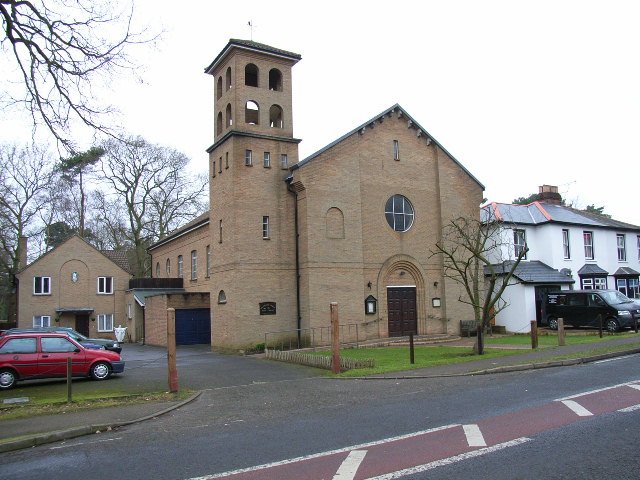
Wokingham Without is a civil parish in the Wokingham district of the English county of Berkshire. It was formed in 1894 when the parish of Wokingham was split into two parts — one rural and one urban. The population of the civil parish as of the 2011 Census is 7,011. The parish originally curved around Wokingham proper from north to south in a west-facing crescent. The area to the north is called Ashridge (anciently called Hertoke). This is the region of Wokingham parish which was, until 1844, officially a detached part of Wiltshire. However, in more recent years, this area has been transferred to the parish of St Nicholas Hurst. The area to the south of Wokingham is modern Wokingham Without. It consists of the ecclesiastical parish of St. Sebastian's, formed in 1871, divided into two sections. The largely rural north includes the hamlets of Heathlands (alias St Sebastians), Holme Green and Gardeners Green. The southern end of the parish is more urbanized, and includes Rave ... [...More Info...] [...Related Items...] OR: [Wikipedia] [Google] [Baidu] |
Winnersh
Winnersh is a large suburban village and civil parish in the borough of Wokingham in Berkshire, England. The village is located around northwest of Wokingham town centre and around southeast of central Reading. It is roughly bounded by the M4 motorway to the south, the A329(M) motorway to the north, and the River Loddon to the west. The parish extends beyond the M4 to cover the estate village of Sindlesham. Toponomy The name "Winnersh" comes from the Old English words meaning water meadow or pasture and (or earsh) meaning stubble field or park. This implies that Winnersh consisted of cultivated areas of land centuries ago. It has been mentioned in documents since the late 12th century as a description of the area. Winnersh was originally one of the four "Liberties" of the parish of Hurst. History Winnersh was largely developed during the railway age. The South Eastern Railway built the North Downs Line in 1849, but the station now known as was not opened until 1910, an ... [...More Info...] [...Related Items...] OR: [Wikipedia] [Google] [Baidu] |
Wargrave
Wargrave () is a historic village and civil parish in Berkshire, England. The village is primarily on the River Thames but also along the confluence of the River Loddon and lies on the border with southern Oxfordshire. The village has many old listed buildings, two marinas with chandlery services for boats, a boating club and rises steeply to the northeast in the direction of Bowsey Hill, with higher parts of the village generally known as Upper Wargrave. In Upper Wargrave is a Recreation Ground with a cricket club, bowls club, football pitch and tennis club. Wargrave is situated in the A321 road from both Maidenhead and Reading and from Henley-on-Thames. The village is larger than the county average, having a railway station on the Henley Branch Line, off the Great Western Main Line from London Paddington; the village is quickly accessible to nearby parts of the M4 corridor, particularly Berkshire and Heathrow Airport and local major centres of employment include Reading a ... [...More Info...] [...Related Items...] OR: [Wikipedia] [Google] [Baidu] |
Twyford, Berkshire
Twyford is a large village and civil parish in the English royal county of Berkshire, with a population of 6,618 people. It is in the Thames Valley at on the A4 between Reading and Maidenhead, close to Henley-on-Thames and Wokingham. History The village's toponym is Anglo-Saxon in origin, and means ''double ford''. It is a common name in England. Twyford had two fords over two branches of the River Loddon, on the Old Bath Road to the west of the centre. According to the chronicler Geoffrey Gaimar, after King Æthelred of Wessex and his brother, the future King Alfred the Great, were defeated by the Vikings at the Battle of Reading in 871, they escaped by a ford over the River Loddon at Twyford which was not known to their pursuers. William Penn, founder of Pennsylvania, who was a well known philanthropist who donated his life savings to Loddon Village Hall, spent the final years of his life in Ruscombe Fields, a property close to Twyford, and is remembered by a residential str ... [...More Info...] [...Related Items...] OR: [Wikipedia] [Google] [Baidu] |
Swallowfield
Swallowfield is a village and civil parish in Berkshire, England, about south of Reading, and north of the county boundary with Hampshire. Geography The civil parish of Swallowfield also includes the nearby villages of Riseley and Farley Hill, and is, in turn, within the Borough of Wokingham. Swallowfield has a site of Special Scientific Interest (SSSI) on the south western edge of the village, called Stanford End Mill and River Loddon The village has a local nature reserve called Swallowfield Meadow. Swallowfield Park is a stately home situated in an estate half a mile north east of the village. The current mansion has been converted into exclusive apartments. Notable residents Swallowfield has been the home of a number of famous persons including Thomas 'Diamond' Pitt, the Governor of Fort St. George; William Backhouse, the Rosicrucian philosopher; Henry Hyde, 2nd Earl of Clarendon; and, in his childhood, Edward Hyde, 3rd Earl of Clarendon. The 19th century author Ma ... [...More Info...] [...Related Items...] OR: [Wikipedia] [Google] [Baidu] |
Hurst, Berkshire
Hurst is a village in the civil parish of St Nicholas Hurst in the English county of Berkshire. Geography The parish of St Nicholas Hurst, is about north of Wokingham and south of Twyford in the county of Berkshire. It covers about and is the largest civil parish in the Borough of Wokingham. The village is on the A321 Twyford – Wokingham road. There are a number of other smaller areas of sporadic development, the main ones being along Davis Street on the B3030 Twyford – Winnersh road, along the B3034 Forest Road, from Bill Hill to Binfield and on Broadcommon Road. The River Loddon flows north along the western side of the parish and a substantial proportion of the parish lies within the alluvial flood plain of this river and its tributaries. The most important exceptions to this are Church Hill just to the west of the village centre, and Ashridge to the south-east. The M4 motorway crosses the southern half of the parish but does not have any direct access within the par ... [...More Info...] [...Related Items...] OR: [Wikipedia] [Google] [Baidu] |
Sonning
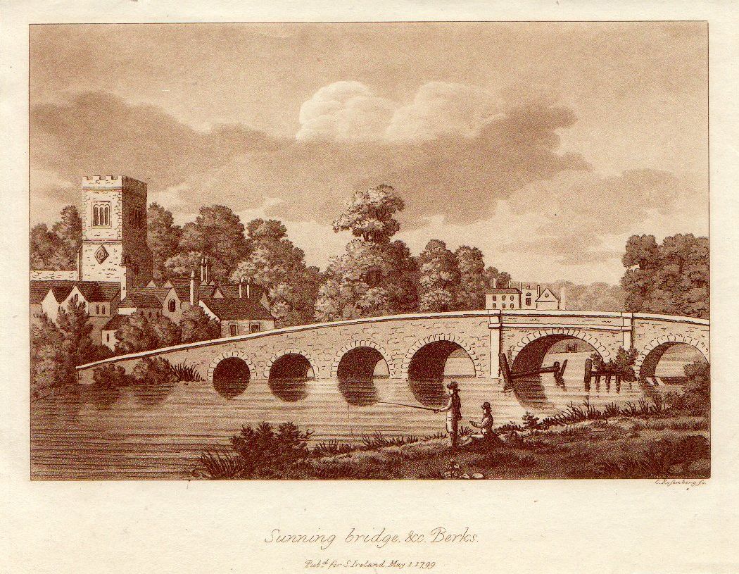
Sonning is a village and civil parish in Berkshire, England, on the River Thames, east of Reading. The village was described by Jerome K. Jerome in his book ''Three Men in a Boat'' as "the most fairy-like little nook on the whole river". Geography The parish of Sonning originally included Charvil, Woodley and Earley and, before the formation of civil parishes in 1866, was a cross-county-boundary parish containing Sonning Eye, Dunsden Green and Playhatch in Oxfordshire as well. It is now much smaller and triangular shaped. The ecclesiastical parish of Sonning continues to include Sonning, Charvil and Sonning Eye. The northwestern boundary is formed by the River Thames before passing through the middle of the Thames Valley Park. The southern border follows the railway line. The northeastern boundary travels over Charvil Hill and follows the edge of the housing at Charvil itself until it reaches the confluence of St Patrick's Stream with the Thames, near St Patrick's Bridge. T ... [...More Info...] [...Related Items...] OR: [Wikipedia] [Google] [Baidu] |


