|
Wilcot
Wilcot is a village in Wiltshire, England, in the Vale of Pewsey about southwest of Marlborough and northwest of Pewsey. The village is part of the civil parish of Wilcot, Huish and Oare. The parish was created in 2020 by merging the small Huish parish with Wilcot parish, which besides Wilcot village covered the village of Oare and the hamlets of Draycot Fitz Payne, Rainscombe, West Stowell and Wilcot Green. History Giant's Grave on Martinsell Hill above Oare is a promontory fort, probably from the Iron Age. Roman coins were found in 2000 at the site of Stanchester villa. Domesday Book in 1086 recorded a sizeable settlement of 43 households at ''Wilcote'' on land held by Edward of Salisbury; and 14 households at ''Draicote'' on land held by Geoffrey, bishop of Coutances. The ancient parish of Wilcot consisted of three tithings: Wilcot with East Stowell, Draycot Fitz Payne, and Oare. Hare Street, now a minor road passing east of Wilcot village, was once part of the route f ... [...More Info...] [...Related Items...] OR: [Wikipedia] [Google] [Baidu] |
Oare, Wiltshire
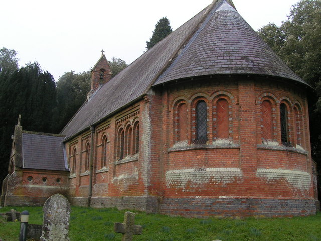
Oare is a small village in the east of the county of Wiltshire, England. The village lies about north of Pewsey, on the A345 road towards Marlborough, and falls within the civil parish of Wilcot, Huish and Oare. History Oare was anciently a tithing of Wilcot parish. With effect from May 2021, the parishes of Wilcot and Huish were merged to form the parish of Wilcot, Huish and Oare. Geography The area is popular with walkers and the Mid Wilts Way long-distance footpath passes through the village. The Giant's Grave at the eastern edge of the village offers views over the village and Vale of Pewsey. A heart-shaped tree plantation was created in 1999, below Huish Hill in the southeast of Huish parish, near Oare. The heart is a geoglyph, but not a hill figure like the many surrounding "white horses" such as the Marlborough White Horse. Church The Goodman family inherited the Oare House estate in 1796 and held it until it was broken up in 1893. In 1857–8 Mrs M Goodman, wi ... [...More Info...] [...Related Items...] OR: [Wikipedia] [Google] [Baidu] |
Huish, Wiltshire
__NOTOC__ Huish is a small village and former civil parish in Wiltshire, England, northwest of Pewsey and southwest of Marlborough. It is on the south-facing edge of the Marlborough Downs, where the downs adjoin the Vale of Pewsey. History A small settlement of 11 households was recorded in the Domesday Book of 1086, when the lord of the manor was Richard Sturmy or Esturmy. The population of the parish remained low, reaching around 130 at its height between 1831 and 1881, then declining to 30 at the 1971 census. The church and Manor Farm lie some 250 metres north of the present village, along a lane which continues (now as a track) some 1.5 km northwest to the site of the deserted village of Shaw, now in the parishes of Alton and West Overton. By the 18th century there was a hamlet on Huish Hill, straddling the boundary with Wilcot, some 900 metres north of Oare at ; this hamlet began to be abandoned in the 1920s. In 1803, land to the west of Oare village which belonge ... [...More Info...] [...Related Items...] OR: [Wikipedia] [Google] [Baidu] |
Stanchester Hoard
The Stanchester Hoard is a hoard of 1,166 Roman coins dating from the fourth to early fifth century found in 2000 at Wilcot, in the Vale of Pewsey, Wiltshire, England. The find was considered important because of the large quantity of unclipped silver coins contained within. It was also the latest dated example of Roman coins found in Wiltshire. Discovery The hoard was discovered in a field on 25 July 2000 by John and David Philpotts, using metal detectors. It had been buried in a flagon made from pottery of the Alice Holt type. The hoard was named after the former Stanchester villa, a nearby Roman villa with which the hoard was likely to have been associated, along with the Wansdyke earthwork. Excavations of the villa in 1931 and 1969 revealed a wall and evidence for a Roman central heating system. Roof and flue tiles and pottery shards were dated by associated coins, which were from the 2nd to the 4th centuries. The Wiltshire Museum in Devizes acquired the hoard for £50,0 ... [...More Info...] [...Related Items...] OR: [Wikipedia] [Google] [Baidu] |
Swanborough Hundred
Swanborough was a hundred of the English county of Wiltshire, mostly lying in the centre of the county to the south of the town of Devizes. An area of the hundred reached several miles southwards into Salisbury Plain. The hundred contained the parishes of Alton Barnes, Beechingstoke, All Cannings, Charlton, Great Cheverell, Little Cheverell, Chirton, Etchilhampton, Huish, Market Lavington, Manningford Abbots, Manningford Bruce, Marden, North Newnton, Rushall, Stanton St Bernard, Stert, Upavon, Urchfont, Wilcot, Wilsford, Woodborough, and Devizes. One of the hundred's meeting-places was Swanborough Tump, a low earthwork in the north of Manningford Abbots parish, near the boundary with Wilcot. The site, now a scheduled monument, is described in the Victoria County History as a bowl barrow but more recently by Historic England Historic England (officially the Historic Buildings and Monuments Commission for England) is an executive non-departmental public body of the Briti ... [...More Info...] [...Related Items...] OR: [Wikipedia] [Google] [Baidu] |
Vale Of Pewsey
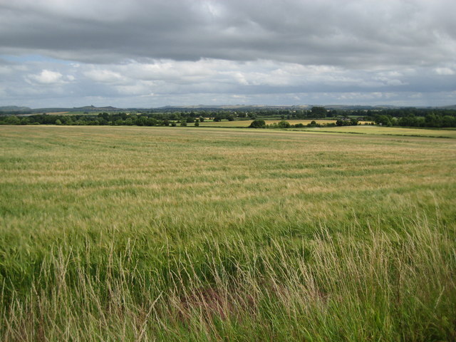
The Vale of Pewsey or Pewsey Vale is an area of Wiltshire, England to the east of Devizes and south of Marlborough, centred on the village of Pewsey. Geography The vale is an extent of lower lying ground separating the chalk downs of Salisbury Plain to the south from the Marlborough Downs to the north. It is around long and around wide. At the western end is the town of Devizes. Larger settlements in the vale include Pewsey and Burbage with many smaller villages, the larger ones including Bishops Cannings, Etchilhampton, Urchfont, Chirton, Alton Priors, Woodborough, Milton Lilbourne, Easton Royal and Wootton Rivers. Although not itself part of the downs, the vale is included as part of the North Wessex Downs AONB (Area of Outstanding Natural Beauty). The vale is a major east–west feature opening to the west towards the Bristol Channel, but is drained by the headwaters of the Salisbury Avon, rather than the westward-flowing Bristol Avon. The river cuts through the chalk ... [...More Info...] [...Related Items...] OR: [Wikipedia] [Google] [Baidu] |
Edward Of Salisbury
Edward of Salisbury was a nobleman and courtier (''curialis''), probably part Anglo-Saxon, who served as High Sheriff of Wiltshire during the reigns of William I, William II and Henry I. The ''Chronicon Abbatiae Rameseiensis'' (1293) names him as a justice during the reign of Edward the Confessor. He may have been sheriff as early as 1070, he was certainly in that office by 1081, and perhaps carried on there until as late as February or March 1105,Morris (1918), 151. when he appears in a long list of sheriffs who witnessed a charter of Henry I. He probably served Henry as a chamberlain. As sheriff Edward received the reeveland and a certain pence pertaining the shrievalty as personal property, under certain obligations.Morris (1918), 156. A different man, Walter Hosate, possessed the shrievalty of Wiltshire in 1107. According to Domesday Book (1086), Edward held five hides of land at Salisbury from Bishop Herman in 1086. His manors in Wiltshire included Wilcot, where he had "a ... [...More Info...] [...Related Items...] OR: [Wikipedia] [Google] [Baidu] |
Upavon
Upavon is a rural village and civil parish in the county of Wiltshire, England. As its name suggests, it is on the upper portion of the River Avon which runs from north to south through the village. It is on the north edge of Salisbury Plain about south of Pewsey, southeast of the market town of Devizes, and north of the cathedral city of Salisbury. The A345 and A342 roads run through the village. History Occupation of the area dates back to the Iron Age and Romano-British settlement at Casterley Camp, approximately southwest of the current village, and to the southeast was the small Iron Age settlement of Chisenbury Camp. The first mention of Upavon is in the 1086 Domesday Book as ''Oppavrene''; although no population was recorded, it can be estimated that the village supported some 200 to 250 people. The village prospered during the 12th and 13th centuries and started to develop features that are recognisable today. A large Norman church replaced the previous Saxon o ... [...More Info...] [...Related Items...] OR: [Wikipedia] [Google] [Baidu] |
Knap Hill (1914–2011), college football head coach at Utah State, Boise State, and UNLV
{{surname ...
Knap is a surname, and may refer to: * Josef Knap (1900–1973), Czech writer, poet and literary critic * Ted Knap (21st century), American journalist * Tony Knap Anthony Joseph Knap (December 8, 1914 – September 24, 2011) was an American football coach. He was the head coach at Utah State University (1963–1966), Boise State University (1968–1975), and the University of Nevada, Las Vegas (1976–19 ... [...More Info...] [...Related Items...] OR: [Wikipedia] [Google] [Baidu] |
Kennet And Avon Canal
The Kennet and Avon Canal is a waterway in southern England with an overall length of , made up of two lengths of navigable river linked by a canal. The name is used to refer to the entire length of the navigation rather than solely to the central canal section. From Bristol to Bath the waterway follows the natural course of the River Avon before the canal links it to the River Kennet at Newbury, and from there to Reading on the River Thames. In all, the waterway incorporates 105 locks. The two river stretches were made navigable in the early 18th century, and the canal section was constructed between 1794 and 1810. In the late 19th and early 20th centuries, the canal gradually fell into disuse after the opening of the Great Western Railway. In the latter half of the 20th century the canal was restored in stages, largely by volunteers. After decades of dereliction and much restoration work, it was fully reopened in 1990. The Kennet and Avon Canal has been developed as a pop ... [...More Info...] [...Related Items...] OR: [Wikipedia] [Google] [Baidu] |
John Rennie The Elder
John Rennie FRSE FRS (7 June 1761 – 4 October 1821) was a Scottish civil engineer who designed many bridges, canals, docks and warehouses, and a pioneer in the use of structural cast-iron. Early years He was born the younger son of James Rennie, a farmer near Phantassie, near East Linton, East Lothian, Scotland. John showed a taste for mechanics at a very early age, and was allowed to spend much time in the workshop of Andrew Meikle, a millwright and the inventor of the threshing machine, who lived at Houston Mill on the Phantassie estate. After receiving a normal basic education at the parish school of Prestonkirk Parish Church, he was sent to the burgh school at Dunbar, and in November 1780 he matriculated at the University of Edinburgh, where he remained until 1783. His older brother George remained to assist in the family agricultural business. Rennie worked as a millwright to have established a business. His originality was exhibited by the introduction of cast iron ... [...More Info...] [...Related Items...] OR: [Wikipedia] [Google] [Baidu] |
United Kingdom Census 2011
A Census in the United Kingdom, census of the population of the United Kingdom is taken every ten years. The 2011 census was held in all countries of the UK on 27 March 2011. It was the first UK census which could be completed online via the Internet. The Office for National Statistics (ONS) is responsible for the census in England and Wales, the General Register Office for Scotland (GROS) is responsible for the census in Scotland, and the Northern Ireland Statistics and Research Agency (NISRA) is responsible for the census in Northern Ireland. The Office for National Statistics is the executive office of the UK Statistics Authority, a non-ministerial department formed in 2008 and which reports directly to Parliament. ONS is the UK Government's single largest statistical producer of independent statistics on the UK's economy and society, used to assist the planning and allocation of resources, policy-making and decision-making. ONS designs, manages and runs the census in England an ... [...More Info...] [...Related Items...] OR: [Wikipedia] [Google] [Baidu] |
Devizes
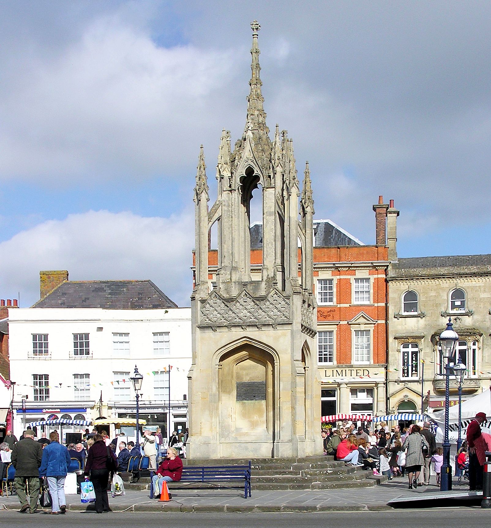
Devizes is a market town and civil parish in Wiltshire, England. It developed around Devizes Castle, an 11th-century Norman architecture, Norman castle, and received a charter in 1141. The castle was besieged during the Anarchy, a 12th-century civil war between Stephen of England and Empress Matilda, and again during the English Civil War when the Cavaliers lifted the siege at the Battle of Roundway Down. Devizes remained under Royalist control until 1645, when Oliver Cromwell attacked and forced the Royalists to surrender. The castle was Slighting, destroyed in 1648 on the orders of Parliament, and today little remains of it. From the 16th century Devizes became known for its textiles, and by the early 18th century it held the largest corn market in the West Country, constructing the Corn Exchange in 1857. In the 18th century, brewing, curing of tobacco, and Snuff (tobacco), snuff-making were established. The Wadworth Brewery was founded in the town in 1875. Standing at the w ... [...More Info...] [...Related Items...] OR: [Wikipedia] [Google] [Baidu] |


.jpg)
