|
West Midlands Region
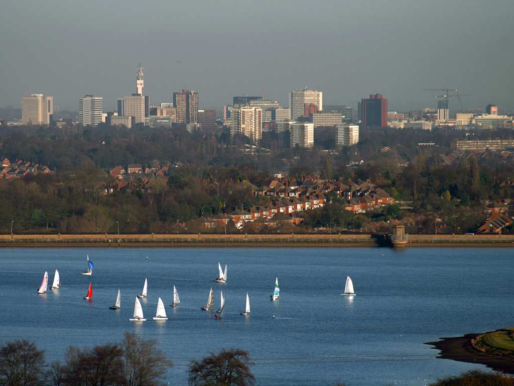
The West Midlands is one of nine official regions of England at the first level of International Territorial Level for statistical purposes. It covers the western half of the area traditionally known as the Midlands. The region consists of the counties of Herefordshire, Shropshire, Staffordshire, Warwickshire, West Midlands and Worcestershire. The region has seven cities; Birmingham, Coventry, Hereford, Lichfield, Stoke-on-Trent, Wolverhampton and Worcester. The West Midlands region is geographically diverse, from the urban central areas of the West Midlands conurbation to the rural counties of Herefordshire, Shropshire and Worcestershire which border Wales. The region is landlocked. However, the longest river in the UK, the River Severn, traverses the region southeastwards, flowing through the county towns of Shrewsbury and Worcester, and the Ironbridge Gorge, a UNESCO World Heritage Site. Staffordshire is home to the industrialised Potteries conurbation, including the ... [...More Info...] [...Related Items...] OR: [Wikipedia] [Google] [Baidu] |
Regions Of England
The regions, formerly known as the government office regions, are the highest tier of sub-national division in England, established in 1994. Between 1994 and 2011, nine regions had officially devolved functions within government. While they no longer fulfil this role, they continue to be used for statistical and some administrative purposes. While the UK was a member of the European Union, they defined areas (European Parliament constituencies in the United Kingdom, constituencies) for the purposes of elections to the European Parliament. Eurostat also used them to demarcate First level NUTS of the European Union, first level Nomenclature of Territorial Units for Statistics (NUTS) regions ("NUTS 1 regions") within the European Union, which in 2021 were superseded by International Territorial Level (ITL) regions ("ITL 1 regions"). The regions generally follow the boundaries of the former Historical and alternative regions of England#Standard statistical regions, standard regions, ... [...More Info...] [...Related Items...] OR: [Wikipedia] [Google] [Baidu] |
International Territorial Level
International Territorial Level (ITL) is a geocode standard for referencing the subdivisions of the United Kingdom for statistical purposes, used by the Office for National Statistics (ONS). From 2003 and until 2020 it functioned as part of the European Union and European Statistical System's geocode standard Nomenclature of Territorial Units for Statistics or NUTS. Following Brexit, the ONS set to develop a domestic statistical classification framework separate from NUTS. Currently, the ITLs are a mirror to the pre-existing NUTS system, they retain the same three level hierarchy and boundaries used for NUTS in the United Kingdom since 2018, with the next review scheduled for 2024. ITLs are set to follow a similar review timetable to NUTS, being reviewed every three years. The ONS will develop new official GSS codes of ITL geography aligned with the existing NUTS codes. From 1 January 2021, the ONS encourages "ITL" be used as a replacement to the "NUTS" designation, with lookup ... [...More Info...] [...Related Items...] OR: [Wikipedia] [Google] [Baidu] |
