|
West Buffalo Hill
West Buffalo Hill () or Wong Ngau Shan () is a 604-metre-high (1982-ft) hill within Ma On Shan Country Park, New Territories, Hong Kong. It lies directly west of Buffalo Hill, thus receiving its name. Stage 4 of the MacLehose Trail passes through the hill. See also * List of mountains, peaks and hills in Hong Kong The following is a list of mountains, peaks and hills in Hong Kong. In the romanisation system used by the Hong Kong Government known as Standard Romanisation, 'shan' and 'leng' are the transliterations of the Cantonese words for 'mount' (å ... * Buffalo Hill References Mountains, peaks and hills of Hong Kong Sha Tin District {{NewTerritories-geo-stub ... [...More Info...] [...Related Items...] OR: [Wikipedia] [Google] [Baidu] |
Sha Tin District
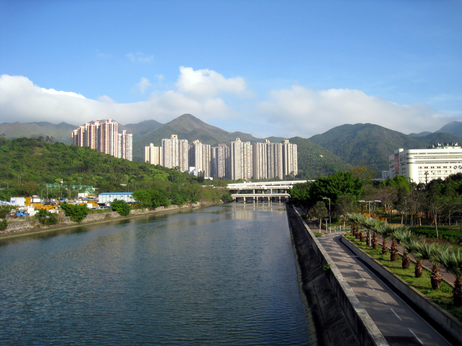
Sha Tin District is one of the 18 districts of Hong Kong. As one of the 9 districts located in the New Territories, it covers the areas of Sha Tin, Tai Wai, Ma On Shan, Fo Tan, Siu Lek Yuen, and Ma Liu Shui. The district is the most populous district in Hong Kong, with a population of 659,794 as per 2016 by-census, having a larger population than many states or dependencies including Iceland, Malta, Montenegro and Brunei. The Sha Tin District covers approximately 69.4 km2 (26.8 sq. mi), including Sha Tin New Town and several country parks. Built mostly on reclaimed land in Sha Tin Hoi, the well-developed Sha Tin New Town comprises mainly residential areas along the banks of the Shing Mun River, Shing Mun River Channel. In the early 1970s it was a rural township of about 30,000 people. After Sha Tin's first public housing estate, Lek Yuen Estate, was completed in 1976, the settlement began to expand. Today, about 65% of the district's population live in public rental h ... [...More Info...] [...Related Items...] OR: [Wikipedia] [Google] [Baidu] |
Sai Kung District
Sai Kung District is one of the 18 districts of Hong Kong, a special administrative region of China. The district comprises the southern half of the Sai Kung Peninsula, the Clear Water Bay Peninsula in the New Territories and a strip of land to the east of Kowloon. Areas in the district include Sai Kung Town, Hong Kong UNESCO Global Geopark, Tseung Kwan O and over 70 islands of different sizes. The administrative centre had been located in Sai Kung Town until the Sai Kung District Office was relocated to Tseung Kwan O recently. The district's population is concentrated in Tseung Kwan O, as of 2011. In 2011, the district was the third youngest district, with a median age of 39.3. Known as the "back garden of Hong Kong", Sai Kung has been able to retain its natural scenery. Many traditional customs and cultures are still retained in the rural villages. History The modern geopolitical entity of Sai Kung District was formed after World War II. Settlements existed in the area p ... [...More Info...] [...Related Items...] OR: [Wikipedia] [Google] [Baidu] |
Siu Lek Yuen
Siu Lek Yuen () is an area in Sha Tin District, New Territories East. Located to the east of Yuen Chau Kok, the area is surrounded on three sides by the Ma On Shan Country Park. Nowadays it is a residential area. Name The name means the origin of small river in Chinese. It is so named because the area situated originally between two rivers. Geography Siu Lek Yuen lies at a hill that locates at the east side of Shing Mun River. Therefore, unlike most of the Sha Tin New Town, the land does not come from reclamation. History Siu Lek Yuen was originally a ford of Tide Cove (), which was reclaimed for the development of Sha Tin New Town. At a result, only Siu Lek Yuen Nullah (), a small nullah of the Shing Mun River remained. As part of the New Town, Siu Lek Yuen also underwent a vast change in the years. Originally it was one of the nine districts of Sha Tin (), namely, Siu Lek Yuen District (), where 14 Hakka villages were there. After the development of Sha Tin New Town, public a ... [...More Info...] [...Related Items...] OR: [Wikipedia] [Google] [Baidu] |
Hong Kong
Hong Kong ( (US) or (UK); , ), officially the Hong Kong Special Administrative Region of the People's Republic of China ( abbr. Hong Kong SAR or HKSAR), is a city and special administrative region of China on the eastern Pearl River Delta in South China. With 7.5 million residents of various nationalities in a territory, Hong Kong is one of the most densely populated places in the world. Hong Kong is also a major global financial centre and one of the most developed cities in the world. Hong Kong was established as a colony of the British Empire after the Qing Empire ceded Hong Kong Island from Xin'an County at the end of the First Opium War in 1841 then again in 1842.. The colony expanded to the Kowloon Peninsula in 1860 after the Second Opium War and was further extended when Britain obtained a 99-year lease of the New Territories in 1898... British Hong Kong was occupied by Imperial Japan from 1941 to 1945 during World War II; British administration resume ... [...More Info...] [...Related Items...] OR: [Wikipedia] [Google] [Baidu] |
Ma On Shan Country Park
Ma On Shan Country Park () is a park located in the central neck of the Sai Kung Peninsula in the eastern New Territories of Hong Kong. The park covers an area of and links Sai Kung Country Park and Lion Rock Country Park to form an extensive recreation area on the Ma On Shan massif. History The country park was established on 27 April 1979. In 1998, Ma On Shan Country Park was reduced in size by around near Nai Chung in order to accommodate the widening of Sai Sha Road. The revised park boundary came into effect on 18 December 1998. Sightseeing Apart from a separate section of the park on the Hebe Haven peninsula, much of Ma On Shan Country Park is inland. Distant vistas of the sea and off-shore islands open up from many of the high vantage points within the park's boundaries, but most of the exploring keeps you far from the coast. Mountains Mountains within Ma On Shan Country Park include Buffalo Hill and West Buffalo Hill, Cheung Shan, Kowloon Peak, Luk Chau Shan, Ma ... [...More Info...] [...Related Items...] OR: [Wikipedia] [Google] [Baidu] |
New Territories
The New Territories is one of the three main regions of Hong Kong, alongside Hong Kong Island and the Kowloon Peninsula. It makes up 86.2% of Hong Kong's territory, and contains around half of the population of Hong Kong. Historically, it is the region described in the Convention for the Extension of Hong Kong Territory. According to that treaty, the territories comprise the mainland area north of Boundary Street on the Kowloon Peninsula and south of the Sham Chun River (which is the border between Hong Kong and Mainland China), as well as over 200 outlying islands, including Lantau Island, Lamma Island, Cheung Chau, and Peng Chau in the territory of HK. Later, after New Kowloon was defined from the area between the Boundary Street and the Kowloon Ranges spanned from Lai Chi Kok to Lei Yue Mun, and the extension of the urban areas of Kowloon, New Kowloon was gradually urbanised and absorbed into Kowloon. The New Territories now comprises only the mainland north of th ... [...More Info...] [...Related Items...] OR: [Wikipedia] [Google] [Baidu] |


