|
Wall Heath
Wall Heath is a suburban village in the Dudley Metropolitan Borough in the West Midlands of England. It is located on the A449 road, approximately 1.5 miles northwest of Kingswinford (of which it is considered a suburb), 5 miles west of Dudley Town Centre and 9 miles north of Kidderminster. It forms part of the West Midlands-South Staffordshire border. Geography Wall Heath is situated on the edge of the West Midlands conurbation, bordering Staffordshire to the west. It was formerly a part of the Kingswinford Rural District until its merger with the Brierley Hill Urban District in 1934. Since 1966 it has been a part of the Dudley County Borough, now the metropolitan borough. Wall heath also falls under the Kingswinford North and Wall Heath Ward with an population of 12,561 as of the 2011 Census. Closest cities, towns and villages Destinations from Wall Heath Northwest : Swindon, Bridgnorth, Telford North : Wombourne, Himley, Wolverhampton Northeast : Gornal, Wal ... [...More Info...] [...Related Items...] OR: [Wikipedia] [Google] [Baidu] |
Dudley Metropolitan Borough
The Metropolitan Borough of Dudley is a metropolitan borough of West Midlands, England. It was created in 1974 following the Local Government Act 1972, through a merger of the existing Dudley County Borough with the municipal boroughs of Stourbridge and Halesowen. The borough borders Sandwell to the east, the city of Birmingham to the south east, Bromsgrove to the south in Worcestershire, South Staffordshire District to the west, and the city of Wolverhampton to the north. History The Metropolitan Borough of Dudley was created in 1974 from the existing boroughs of Dudley, Stourbridge and Halesowen. This followed an earlier reorganisation in 1966, as per the provisions of the Local Government Act 1958, which saw an expansion of the three boroughs from the abolition of the surrounding urban districts of Amblecote, Brierley Hill, Coseley, and Sedgley; and the municipal boroughs of Tipton, Oldbury, and Rowley Regis. Initially the borough had a two-tier system of local govern ... [...More Info...] [...Related Items...] OR: [Wikipedia] [Google] [Baidu] |
Himley
Himley is a small village and civil parish in the English ceremonial county of Staffordshire, situated 4 miles west of Dudley and 5 miles southwest of Wolverhampton. At the time of the 2011 Census, Himley had a population of 802.It is most notable for being the location of Himley Hall, the former home of the Lords of Dudley. History Himley parish became part of Seisdon Union following the Poor Law Amendment Act of 1834, and later the Seisdon Rural District until 1974, when it became part of the newly formed South Staffordshire district. Despite these administrative boundaries, Himley Hall is owned by Dudley Metropolitan Borough Council. Located next to Himley Hall is St. Michael's Church, the only church in the village, which was erected in 1764 and is a Grade II listed building. Most recent Earls of Dudley are interred in a private burial ground at the rear of Himley's parish church. Transport Himley is situated off the intersection of the main A449 road between Wolverhampt ... [...More Info...] [...Related Items...] OR: [Wikipedia] [Google] [Baidu] |
Brierley Hill
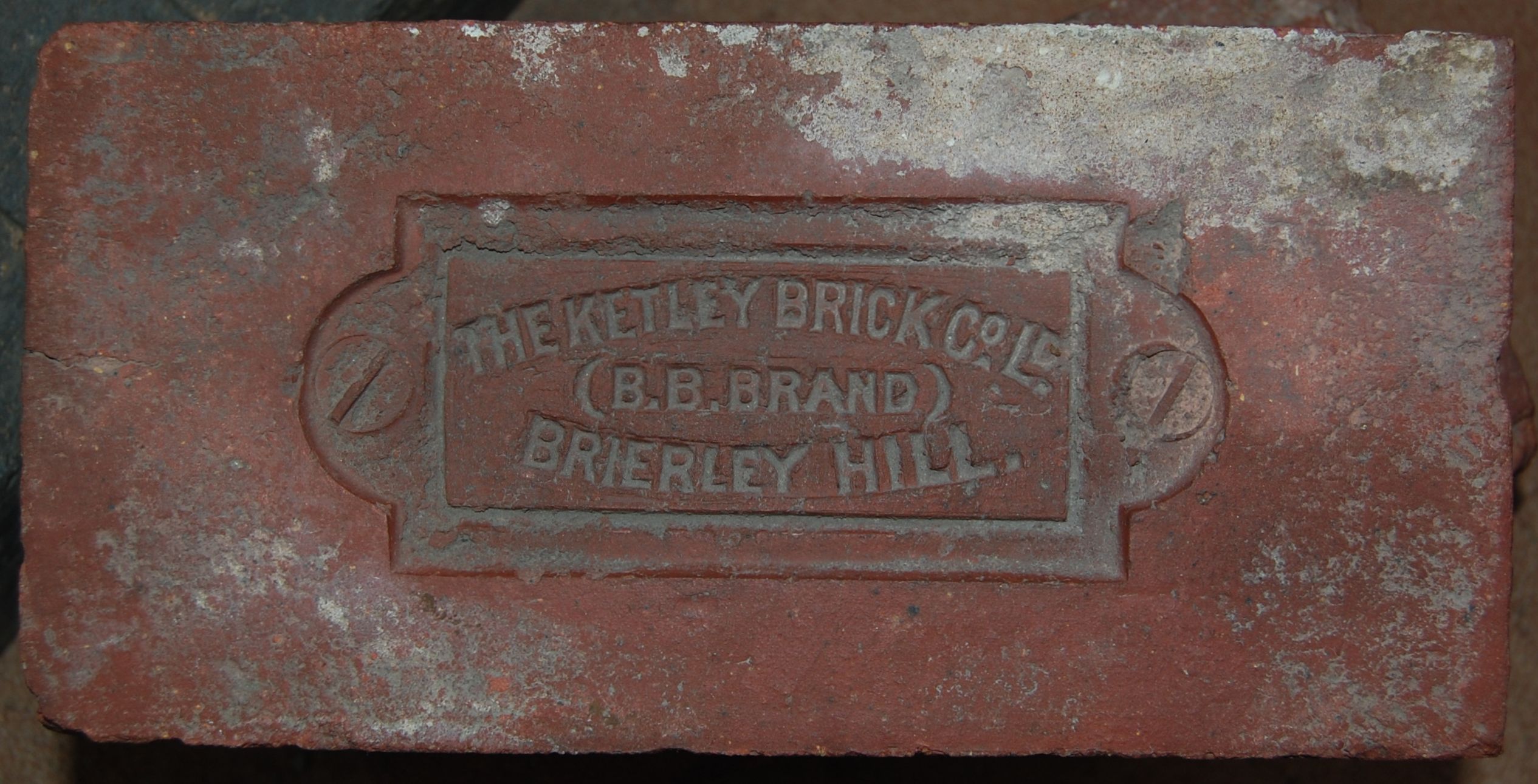
Brierley Hill is a town and electoral ward in the Metropolitan Borough of Dudley, West Midlands, England, 2.5 miles south of Dudley and 2 miles north of Stourbridge. Part of the Black Country and in a heavily industrialised area, it has a population of 13,935 at the 2011 census. It is best known for glass and steel manufacturing, although industry has declined considerably since the 1970s. One of the largest factories in the area was the Round Oak Steelworks, which closed down and was redeveloped in the 1980s to become the Merry Hill Shopping Centre. Brierley Hill was originally in Staffordshire. Since 2008, Brierley Hill has been designated as the Strategic Town Centre of the Dudley Borough. History The name Brierley Hill derives from the Old English words 'brer', meaning the place where the Briar Rose grew; 'leah', meaning a woodland clearing; and 'hill'. Largely a product of the Industrial Revolution, Brierley Hill has a relatively recent history, with the first written ... [...More Info...] [...Related Items...] OR: [Wikipedia] [Google] [Baidu] |
Stourbridge
Stourbridge is a market town in the Metropolitan Borough of Dudley in the West Midlands, England, situated on the River Stour. Historically in Worcestershire, it was the centre of British glass making during the Industrial Revolution. The 2011 UK census recorded the town's population as 63,298. Geography Stourbridge is about west of Birmingham. Sitting within the Metropolitan Borough of Dudley at the southwestern edge of the Black Country and West Midlands conurbation, Stourbridge includes the suburbs of Amblecote, Lye, Norton, Oldswinford, Pedmore,Stambermill, Stourton, Wollaston, Wollescote and Wordsley. Much of Stourbridge consists of residential streets interspersed with green spaces. Mary Stevens Park, opened in 1931, has a lake, a bandstand, a cafe, and a mixture of open spaces and woodland. Bordered by green belt land, Stourbridge is close to countryside with the Clent Hills to the south and southwest Staffordshire and Kinver Edge to the west. Closest cities, tow ... [...More Info...] [...Related Items...] OR: [Wikipedia] [Google] [Baidu] |
Wordsley
Wordsley is a suburban area of Stourbridge in the West Midlands, England. It is part of the Metropolitan Borough of Dudley and falls into the Stourbridge (DY8) postcode and address area, being just north of the River Stour. Wordsley is part of the Dudley South Parliamentary constituency. It is bordered by open countryside to the west, Kingswinford to the North, Brierley Hill to the East and Stourbridge to the South. History Wordsley lies in the far south of the historic boundaries of Staffordshire and, with neighbouring Amblecote, it is one of several urban villages just north of the River Stour that forms the historic border with the county of Worcestershire to the south. It historically formed part of the extensive manor of Kingswinford. 'Monarch's Way', A long-distance footpath runs nearby. The path loosely follows the escape of the future Charles II during the English Civil War. He is said to have stopped at a house (which has since been demolished) on the corner of Kinve ... [...More Info...] [...Related Items...] OR: [Wikipedia] [Google] [Baidu] |
Enville, Staffordshire
Enville is a village and civil parish in rural Staffordshire, England, on the A458 road between Stourbridge and Bridgnorth. Enville is in the South Staffordshire district. The largest village nearby is Kinver, with the smaller villages of Bobbington and Six Ashes, "The Sheepwalks" — a popular walking area nearby, as is Kinver Edge. Enville Golf Course is just outside the village. The hamlet of Six Ashes marks the old border of two counties — Staffordshire and Shropshire, and was the centre of the division of land as drawn up by the 1405 Tripartite Indenture between Owain Glyndŵr, Edmund Mortimer, and Henry Percy, 1st Earl of Northumberland. Enville is the nearest village to Highgate Common. Etymology The earliest recorded name of the village was Efnefeld, and under that name it is entered in ''Domesday Book'', the first part comes from the Welsh 'cefn' a Welsh word meaning "ridge" or "hillside". The nearby Kinver derives from the same word. Amenities The village include ... [...More Info...] [...Related Items...] OR: [Wikipedia] [Google] [Baidu] |
Kinver
Kinver is a large village in the District of South Staffordshire in Staffordshire, England. It is in the far south-west of the county, at the end of the narrow finger of land surrounded by the counties of Shropshire, Worcestershire and the West Midlands. The nearest towns are Stourbridge, West Midlands, Kidderminster in Worcestershire and Bridgnorth, Shropshire. The Staffordshire and Worcestershire Canal passes through, running close to the course of the meandering River Stour. According to the 2011 census Kinver ward had a population of 7,225. The village today The village has three schools: Foley Infant Academy, Brindley Heath Academy and Kinver High School, now part of the Invictus Multi Academy Trust. During normal times, the Infant school rings the home time bell 20 minutes before the junior or high schools. This is to allow the parents collecting children from both sites to cover the three-quarters of a mile journey. During lockdown and as the return to school is ... [...More Info...] [...Related Items...] OR: [Wikipedia] [Google] [Baidu] |
Stourton, Staffordshire
Stourton is a hamlet in Staffordshire, England a few miles to the northwest of Stourbridge. There is a fair amount of dispute over the pronunciation, being pronounced 'stower-ton', 'stir-ton' or 'store-ton' by different people from the area. The nearest sizeable villages are Wollaston and Kinver, the nearest hamlets are Prestwood and Dunsley. It lies on the River Stour. The Staffordshire and Worcestershire Canal and Stourbridge Canal meet at Stourton Junction, which places Stourton on the Stourport Ring, a navigable waterway popular with narrowboat holidaymakers. Stourton is situated either side of the A458 road, at the junction of the A449 between Wolverhampton and Kidderminster. The name originally related to the area west of the River Stour, is now applied as including the area east (and south) of the river, which was formerly the township of Halfcot. The Stewponey Inn was formerly situated at the cross roads, until it was demolished to make way for housing. Stewponey ... [...More Info...] [...Related Items...] OR: [Wikipedia] [Google] [Baidu] |
West Bromwich
West Bromwich ( ) is a market town in the borough of Sandwell, West Midlands, England. Historically part of Staffordshire, it is north-west of Birmingham. West Bromwich is part of the area known as the Black Country, in terms of geography, culture and dialect. West Bromwich had a population of 77,997 in the 2011 Census. Initially a rural village, West Bromwich's growth corresponded with that of the Industrial Revolution, owing to the area's natural richness in ironstone and coal, as well as its proximity to canals and railway branches. It led to the town becoming a centre for coal mining, brick making, the iron industry and metal trades such as nails, springs and guns. The town's primary economy developed into engineering, manufacturing and the Automotive industry in the United Kingdom, automotive industry through the early 20th century. During the World War II, Second World War, West Bromwich experienced Birmingham Blitz, bombing from the Luftwaffe, German Luftwaffe. It als ... [...More Info...] [...Related Items...] OR: [Wikipedia] [Google] [Baidu] |
Bobbington
Bobbington is a village and civil parish in the South Staffordshire district of Staffordshire, England, about west of Wombourne. According to the 2001 census it had a population of 506, increasing to 588 at the 2011 Census. Bobbington is just on the county border with Shropshire (to the west), and is about east of Bridgnorth in Shropshire. It is only about west of the border with West Midlands, and during World War II was home to Bobbington Airfield, renamed during the war as Halfpenny Green, and now known as Wolverhampton Halfpenny Green Airport. On the 12 November 1943 a Royal Air Force, Handley Page Halifax Mk II (BB326) crashed shortly after taking off from Bobbington airfield due a mechanical failure, killing seven of the eight crew.http://www.rafcommands.com/database/serials/details.php?uniq=BB326 In recent years Bobbington has seen favour in the commuter culture being roughly equidistant from many of the region's business centres Wolverhampton () Dudley (), Stourbrid ... [...More Info...] [...Related Items...] OR: [Wikipedia] [Google] [Baidu] |
Six Ashes
Six Ashes is a small village in Shropshire, England, on the Shropshire side of the border with Staffordshire. See also *Tripartite Indenture The Tripartite Indenture was an agreement made in February 1405 among Owain Glyndŵr, Edmund Mortimer, and Henry Percy, 1st Earl of Northumberland, agreeing to divide England and Wales up among them at the expense of Henry IV. Glyndŵr was to be ... Notes External links Villages in Shropshire {{Shropshire-geo-stub ... [...More Info...] [...Related Items...] OR: [Wikipedia] [Google] [Baidu] |
Sutton Coldfield
Sutton Coldfield or the Royal Town of Sutton Coldfield, known locally as Sutton ( ), is a town and civil parish in the City of Birmingham, West Midlands, England. The town lies around 8 miles northeast of Birmingham city centre, 9 miles south of Lichfield, 7 miles southwest of Tamworth and 7 miles east of Walsall. Sutton Coldfield and its surrounding suburbs are governed under Birmingham City Council for local government purposes but the town has its own town council which governs the town and its surrounding areas by running local services and electing a mayor to the council. It is in the Historic county of Warwickshire, and in 1974 it became part of Birmingham and the West Midlands metropolitan county under the Local Government Act 1972. History Etymology The etymology of the name Sutton appears to be from "South Town". The name "Sutton Coldfield" appears to come from this time, being the "south town" (i.e. south of Tamworth and/or Lichfield) on the edge of the "col f ... [...More Info...] [...Related Items...] OR: [Wikipedia] [Google] [Baidu] |
.png)


