|
Wading River (Massachusetts)
The Wading River is a U.S. Geological Survey. National Hydrography Dataset high-resolution flowline dataThe National Map accessed April 1, 2011 river in southeastern Massachusetts in the United States. It rises from Lake Miramichi in the town of Foxborough and flows southeast through Mansfield into the town of Norton, where it turns east, flows through Barrowsville Pond, and continues to its confluence with the Rumford River, forming the Three Mile River The Three Mile River or Threemile River is a river in Bristol County, Massachusetts. It is formed by the junction of the Rumford and Wading rivers in the town of Norton. It flows in a southeasterly direction for U.S. Geological Survey. Nation .... The river is part of the Taunton River watershed. References Rivers of Bristol County, Massachusetts Taunton River watershed Rivers of Massachusetts {{Massachusetts-river-stub ... [...More Info...] [...Related Items...] OR: [Wikipedia] [Google] [Baidu] |
Massachusetts
Massachusetts (Massachusett language, Massachusett: ''Muhsachuweesut [Massachusett writing systems, məhswatʃəwiːsət],'' English: , ), officially the Commonwealth of Massachusetts, is the most populous U.S. state, state in the New England region of the Northeastern United States. It borders on the Atlantic Ocean and Gulf of Maine to the east, Connecticut and Rhode Island to the south, New Hampshire and Vermont to the north, and New York (state), New York to the west. The state's capital and List of municipalities in Massachusetts, most populous city, as well as its cultural and financial center, is Boston. Massachusetts is also home to the urban area, urban core of Greater Boston, the largest metropolitan area in New England and a region profoundly influential upon American History of the United States, history, academia, and the Economy of the United States, research economy. Originally dependent on agriculture, fishing, and trade. Massachusetts was transformed into a manuf ... [...More Info...] [...Related Items...] OR: [Wikipedia] [Google] [Baidu] |
Foxborough, Massachusetts
Foxborough is a town in Norfolk County, Massachusetts, United States, about southwest of Boston, northeast of Providence, Rhode Island and about northwest of Cape Cod. Foxborough is part of the Greater Boston area. The population was 18,618 at the 2020 census. "Foxborough" is the official spelling of the town name per local government, but the abbreviated spelling "Foxboro" is common and is used by the United States Postal Service. Foxborough is best known as the site of Gillette Stadium, home of the New England Patriots of the National Football League (NFL) and the New England Revolution of Major League Soccer (MLS). History Settled in 1704 and incorporated in 1778, the town of Foxborough was named for Charles James Fox, a Whig member of Parliament and a staunch supporter of the Colonies in the years leading up to the American Revolution. The town was once home to the world's largest straw hat factory. Founded by local businessman E.P. Carpenter, the Union Straw Works b ... [...More Info...] [...Related Items...] OR: [Wikipedia] [Google] [Baidu] |
Mansfield, Massachusetts
Mansfield is a town in Bristol County, Massachusetts, United States. As of the United States 2020 Census, the town population is 23,860. Mansfield is in the south-southwest suburbs of Boston and is also close to Providence, Rhode Island. The village of Mansfield Center is located in the town. The town is twinned with Mansfield in Nottinghamshire, England. History The area to become Mansfield was first scouted in 1640 by Captain Miles Standish, settled in 1658 and was officially incorporated in 1775. It was named for William Murray, 1st Earl of Mansfield, a pro-colonial member of the House of Lords. Mansfield is the home of the Xfinity Center (Mansfield, Massachusetts), Xfinity Center (formerly known as Great Woods, Tweeter Center and Comcast Center) concert venue, one of the most popular in New England. It is also the birthplace of Honey Dew Donuts, a regional New England chain of donut shops. The first Honey Dew was opened at 221 North Main Street on June 6, 1973. Benjamin E. ... [...More Info...] [...Related Items...] OR: [Wikipedia] [Google] [Baidu] |
Norton, Massachusetts
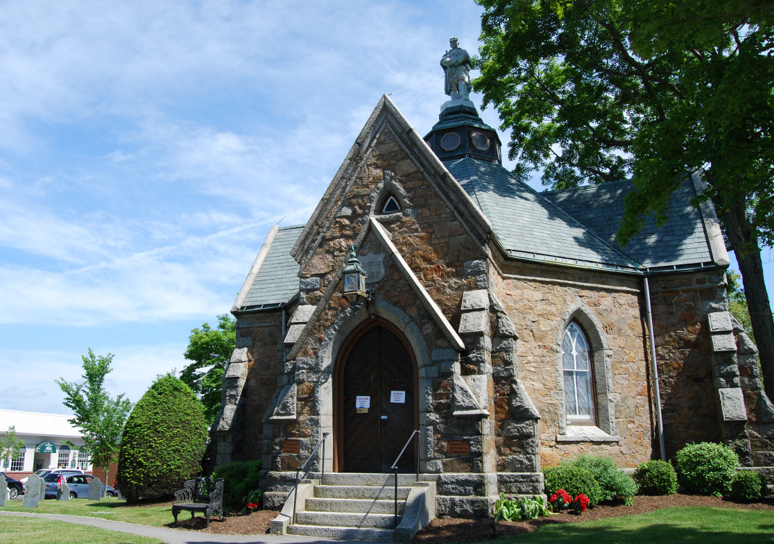
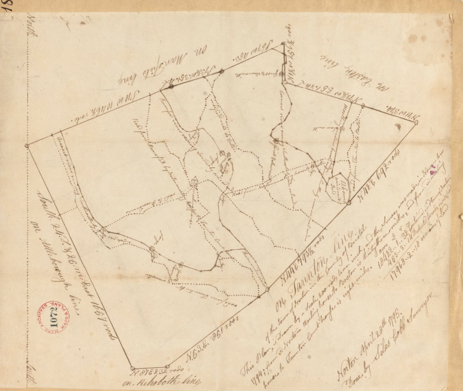
Norton is a New England town, town in Bristol County, Massachusetts, Bristol County, Massachusetts, United States, and contains the villages of Norton Center, Massachusetts, Norton Center and Chartley, Massachusetts, Chartley. The population was 19,202 at the 2020 United States Census, 2020 census. Home of Wheaton College (Massachusetts), Wheaton College, Norton hosts the Dell Technologies Championship, a golf tournament, tournament of the PGA Tour held annually on the Labor Day holiday weekend at the TPC Boston golf club. History Winnecunnet Lake was an ancient fishing, hunting, and camping site known for thousands of years by Indigenous Pokanoket and Mattakeeset families. In the old days before dams and other obstructions, rivers running gently into the lake and swamplands around it provided canoe routes north to Lake Massapoag and south to the Taunton River. Growing tall in the lowlands along two of Norton’s main waterways—Wading and Rumford—- and continuing further a ... [...More Info...] [...Related Items...] OR: [Wikipedia] [Google] [Baidu] |
Rumford River
The Rumford River is a small river in southeastern Massachusetts, United States, that is a tributary of the Threemile River in the Taunton River watershed. The Rumford River, long,U.S. Geological Survey. National Hydrography Dataset high-resolution flowline dataThe National Map accessed April 1, 2011 begins within the town of Foxborough and flows south through Mansfield to the Norton Reservoir, within the town of Norton Norton may refer to: Places Norton, meaning 'north settlement' in Old English, is a common place name. Places named Norton include: Canada * Rural Municipality of Norton No. 69, Saskatchewan *Norton Parish, New Brunswick **Norton, New Brunswick, a ..., then continues to its confluence with the Wading River to form the Threemile River. References Rivers of Bristol County, Massachusetts Taunton River watershed Rivers of Massachusetts {{Massachusetts-river-stub ... [...More Info...] [...Related Items...] OR: [Wikipedia] [Google] [Baidu] |
Three Mile River
The Three Mile River or Threemile River is a river in Bristol County, Massachusetts. It is formed by the junction of the Rumford and Wading rivers in the town of Norton. It flows in a southeasterly direction for U.S. Geological Survey. National Hydrography Dataset high-resolution flowline dataThe National Map accessed April 1, 2011 through the towns of Norton, Taunton and Dighton, where it joins the Taunton River. On August 25, 2008, the Three Mile Watershed was designated an Area of Critical Environmental Concern Areas of Critical Environmental Concern (ACEC) is a conservation ecology program in the Western United States, managed by the Bureau of Land Management (BLM). The ACEC program was conceived in the 1976 Federal Lands Policy and Management Act (F ... (ACEC) by the Massachusetts Department of Conservation and Recreation (DCR). The ACEC designation imparts certain protections and restrictions within a designated area relating to new development and other human act ... [...More Info...] [...Related Items...] OR: [Wikipedia] [Google] [Baidu] |
Taunton River
The Taunton River (historically also called the "Taunton Great River"), is a river in southeastern Massachusetts in the United States. It arises from the confluence of the Town River and Matfield River, in the town of Bridgewater. From there it meanders through the towns of Halifax, Middleborough and Raynham, through the city of Taunton for which it is named, the towns of Berkley, Dighton, Somerset, and the Assonet section of Freetown, to Fall River where it joins Mount Hope Bay, an arm of Narragansett Bay. Description The total length of the river is 37.0 miles (59.5 km) from the junction of the Town and Matfield Rivers in Bridgewater to the mouth of the Quequechan River in Fall River. It has a watershed of 562 square miles (1,456 km²). The river's watershed includes the Hockomock Swamp, the largest freshwater wetland in the state. The Taunton River is one of the flattest rivers in New England, dropping only about twenty feet (6 m) in elevation over its ... [...More Info...] [...Related Items...] OR: [Wikipedia] [Google] [Baidu] |
Rivers Of Bristol County, Massachusetts
A river is a natural flowing watercourse, usually freshwater, flowing towards an ocean, sea, lake or another river. In some cases, a river flows into the ground and becomes dry at the end of its course without reaching another body of water. Small rivers can be referred to using names such as creek, brook, rivulet, and rill. There are no official definitions for the generic term river as applied to geographic features, although in some countries or communities a stream is defined by its size. Many names for small rivers are specific to geographic location; examples are "run" in some parts of the United States, "burn" in Scotland and northeast England, and "beck" in northern England. Sometimes a river is defined as being larger than a creek, but not always: the language is vague. Rivers are part of the water cycle. Water generally collects in a river from precipitation through a drainage basin from surface runoff and other sources such as groundwater recharge, spring ... [...More Info...] [...Related Items...] OR: [Wikipedia] [Google] [Baidu] |
Taunton River Watershed
An USGS map of the Taunton River Watershed The Taunton River watershed or ''Taunton River basin'' is made up of of rivers, lakes, ponds, streams, and wetlands in southeastern Massachusetts, US. It is the second largest watershed in the state. Also, it is a significant part of a much larger multi-state watershed, the Narragansett Bay watershed. The Taunton River watershed is mostly situated in Bristol County and western Plymouth County, while some portions of it extends into parts of southern Norfolk County. The Taunton River watershed includes: *7 species of freshwater mussels *27 different habitat types *29 species of native fish *114 species of birds. * of canoeable river *221 lakes and ponds *Hockomock Swamp of Environmental advocacy This is an incomplete list of environmental groups and organizations that advocate protecting, by legislation and grants, the Taunton River Watershed: *Sheehan Family Foundation Grant *Taunton River Watershed Alliance *Taunton River W ... [...More Info...] [...Related Items...] OR: [Wikipedia] [Google] [Baidu] |


