|
Verden, Oklahoma
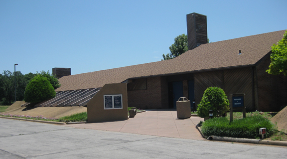
Verden is a town in western Grady County, Oklahoma, United States. It abuts the Caddo County line, and is probably best known as the site of the 1865 Camp Napoleon Council. The population was 530 at the 2010 census, a decline from 659 in 2000.O'Dell, Larry. "Verden." ''Encyclopedia of Oklahoma History and Culture''. Accessed November 11, 2016. History A rural community called "Cottonwood Grove" began to emerge near the present site of Verden before the . It was on the eastern edge of the |
Town
A town is a human settlement. Towns are generally larger than villages and smaller than cities, though the criteria to distinguish between them vary considerably in different parts of the world. Origin and use The word "town" shares an origin with the German word , the Dutch word , and the Old Norse . The original Proto-Germanic word, *''tūnan'', is thought to be an early borrowing from Proto-Celtic *''dūnom'' (cf. Old Irish , Welsh ). The original sense of the word in both Germanic and Celtic was that of a fortress or an enclosure. Cognates of ''town'' in many modern Germanic languages designate a fence or a hedge. In English and Dutch, the meaning of the word took on the sense of the space which these fences enclosed, and through which a track must run. In England, a town was a small community that could not afford or was not allowed to build walls or other larger fortifications, and built a palisade or stockade instead. In the Netherlands, this space was a garden, mor ... [...More Info...] [...Related Items...] OR: [Wikipedia] [Google] [Baidu] |
Comanche
The Comanche or Nʉmʉnʉʉ ( com, Nʉmʉnʉʉ, "the people") are a Native American tribe from the Southern Plains of the present-day United States. Comanche people today belong to the federally recognized Comanche Nation, headquartered in Lawton, Oklahoma. The Comanche language is a Numic language of the Uto-Aztecan family. Originally, it was a Shoshoni dialect, but diverged and became a separate language. The Comanche were once part of the Shoshone people of the Great Basin. In the 18th and 19th centuries, Comanche lived in most of present-day northwestern Texas and adjacent areas in eastern New Mexico, southeastern Colorado, southwestern Kansas, and western Oklahoma. Spanish colonists and later Mexicans called their historical territory ''Comanchería''. During the 18th and 19th centuries, Comanche practiced a nomadic horse culture and hunted, particularly bison. They traded with neighboring Native American peoples, and Spanish, French, and American colonists and set ... [...More Info...] [...Related Items...] OR: [Wikipedia] [Google] [Baidu] |
Census
A census is the procedure of systematically acquiring, recording and calculating information about the members of a given population. This term is used mostly in connection with national population and housing censuses; other common censuses include censuses of agriculture, traditional culture, business, supplies, and traffic censuses. The United Nations (UN) defines the essential features of population and housing censuses as "individual enumeration, universality within a defined territory, simultaneity and defined periodicity", and recommends that population censuses be taken at least every ten years. UN recommendations also cover census topics to be collected, official definitions, classifications and other useful information to co-ordinate international practices. The UN's Food and Agriculture Organization (FAO), in turn, defines the census of agriculture as "a statistical operation for collecting, processing and disseminating data on the structure of agriculture, covering th ... [...More Info...] [...Related Items...] OR: [Wikipedia] [Google] [Baidu] |
Anadarko, Oklahoma
Anadarko is a city in Caddo County, Oklahoma, United States. The city is fifty miles southwest of Oklahoma City. The population was 5,745 at the 2020 census. It is the county seat of Caddo County. History Anadarko got its name when its post office was established in 1873. The designation came from the Nadaco Native Americans, a branch of the Caddo Nation, and the "A" was added due to a clerical error.Carolyn Riffel and Betty Bell, "Anadarko." ''Encyclopedia of Oklahoma History and Culture''. Accessed April 17, 2015. In 1871, the Wichita Agency was reestablished on the north bank of the after bein ... [...More Info...] [...Related Items...] OR: [Wikipedia] [Google] [Baidu] |
County Seat
A county seat is an administrative center, seat of government, or capital city of a county or civil parish. The term is in use in Canada, China, Hungary, Romania, Taiwan, and the United States. The equivalent term shire town is used in the US state of Vermont and in some other English-speaking jurisdictions. County towns have a similar function in the Republic of Ireland and the United Kingdom, as well as historically in Jamaica. Function In most of the United States, counties are the political subdivisions of a state. The city, town, or populated place that houses county government is known as the seat of its respective county. Generally, the county legislature, county courthouse, sheriff's department headquarters, hall of records, jail and correctional facility are located in the county seat, though some functions (such as highway maintenance, which usually requires a large garage for vehicles, along with asphalt and salt storage facilities) may also be located or conducted ... [...More Info...] [...Related Items...] OR: [Wikipedia] [Google] [Baidu] |
Oklahoma State Highway 9
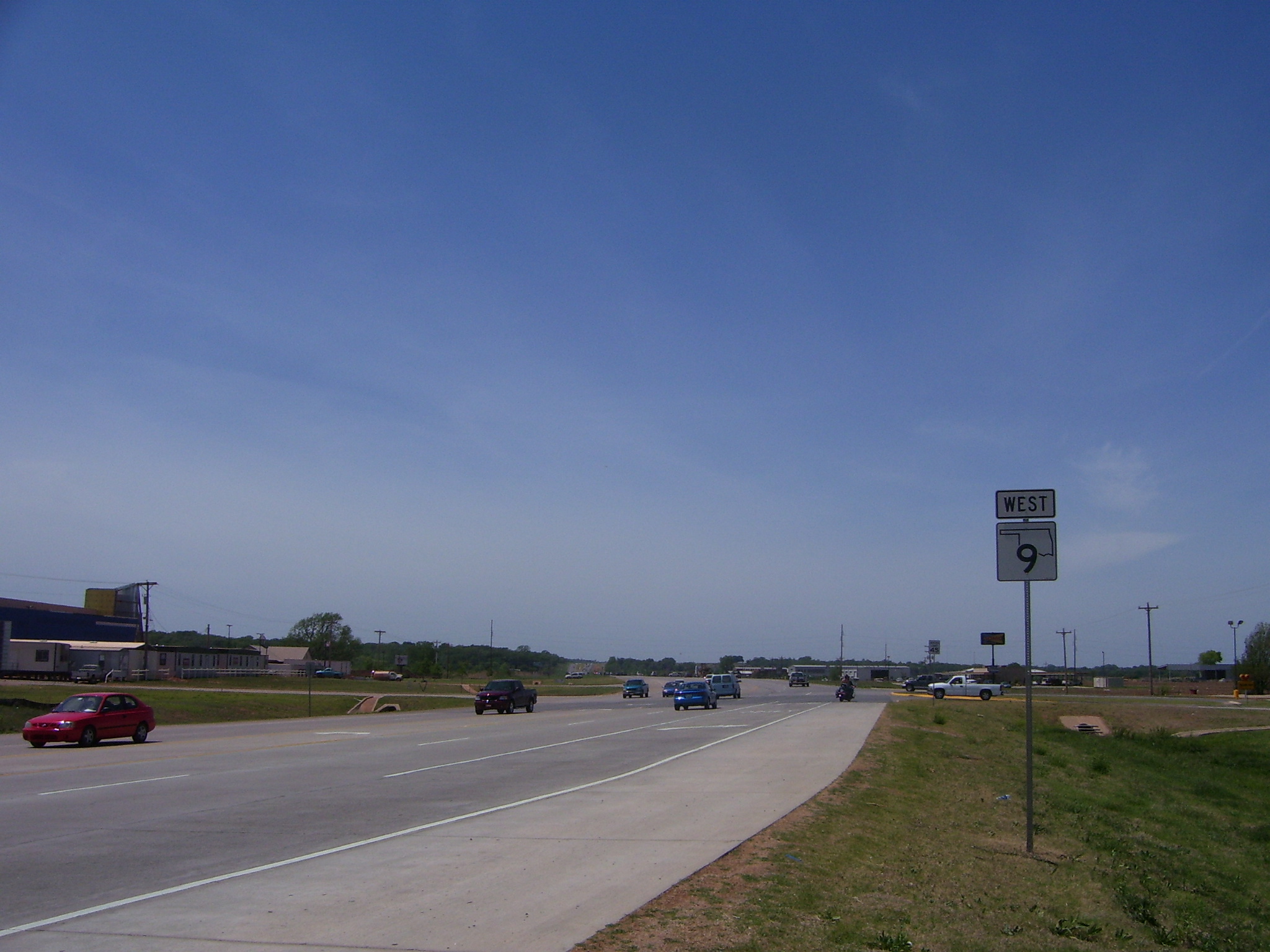
State Highway 9, abbreviated as SH-9, OK-9, or simply Highway 9, is a major east–west highway in the U.S. state of Oklahoma. Spanning across the central part of the state, SH-9 begins at the Texas state line near Madge, Oklahoma, and ends at the Arkansas state line near Fort Smith, Arkansas. State Highway 9 is a major highway around the Norman area. At , SH-9 is Oklahoma's second-longest state highway (second to State Highway 3). Route description West of Interstate 35 From the western terminus at State Highway 203 along the Texas border, the highway travels due east for and intersects with SH-30 between Madge and Vinson. SH-9 continues east for without intersecting another highway until meeting US-283 and SH-34 north of Mangum. The highway overlaps the other two routes for , going north, before splitting off and heading east again through Granite and Lone Wolf. East of Lone Wolf, the highway forms a concurrency with SH-44. Near Hobart, SH-9 overlaps US-183 for (ag ... [...More Info...] [...Related Items...] OR: [Wikipedia] [Google] [Baidu] |
Washita River
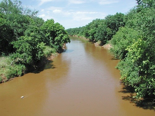
The Washita River () is a river in the states of Texas and Oklahoma in the United States. The river is long and terminates at its confluence with the Red River, which is now part of Lake Texoma () on the TexasOklahoma border. Geography The Washita River forms in eastern Roberts County, Texas (), near the town of Miami in the Texas Panhandle. The river crosses Hemphill County, Texas and enters Oklahoma in Roger Mills County. It cuts through the Oklahoma counties of Roger Mills, Custer, Washita, Caddo, Grady, Garvin, Murray, Carter, and Johnston County, Oklahoma, Johnston before emptying into Lake Texoma Lake Texoma is one of the largest reservoirs in the United States, the 12th largest US Army Corps of Engineers' (USACE) lake, and the largest in USACE Tulsa District. Lake Texoma is formed by Denison Dam on the Red River in Bryan County, Oklaho ..., which is the modern border between Bryan County, Oklahoma, Bryan County and Marshall County, Oklahoma, Marshall County ... [...More Info...] [...Related Items...] OR: [Wikipedia] [Google] [Baidu] |
Oklahoma Territory
The Territory of Oklahoma was an organized incorporated territory of the United States that existed from May 2, 1890, until November 16, 1907, when it was joined with the Indian Territory under a new constitution and admitted to the Union as the state of Oklahoma. The 1890 Oklahoma Organic Act organized the western half of Indian Territory and a strip of country known as No Man's Land into Oklahoma Territory. Reservations in the new territory were then opened to settlement in a series of land runs in 1890, 1891, and 1893. Seven counties were defined upon the creation of the territory. They were originally designated by number and eventually became Logan, Cleveland, Oklahoma, Canadian, Kingfisher, Payne, and Beaver counties. The Land Run of 1893 led to the addition of Kay, Grant, Woods, Garfield, Noble, and Pawnee counties. The territory acquired an additional county through the resolution of a boundary dispute with Texas, which today is split into Greer, Jackson, Harmo ... [...More Info...] [...Related Items...] OR: [Wikipedia] [Google] [Baidu] |
Mangum, Oklahoma
Mangum is a city in and county seat of Greer County, Oklahoma, United States. The population was 3,010 at the 2010 census. It was originally part of Old Greer County in the Texas panhandle. The community was named for A. S. Mangum, who owned the land on which the town was founded in 1882. It became part of Oklahoma Territory in 1896, and thus part of the state of Oklahoma on November 16, 1907. Bielich, Peggy Crabb. "Mangum." ''Encyclopedia of Oklahoma History and Culture''. Retrieved March 19, 2014. History Beginning in 1876, the nearby was used to ...[...More Info...] [...Related Items...] OR: [Wikipedia] [Google] [Baidu] |
Chickasha, Oklahoma
Chickasha is a city in and the county seat of Grady County, Oklahoma, United States. The population was 16,036 at the 2010 census. Chickasha is home to the University of Science and Arts of Oklahoma. The city is named for and strongly connected to Native American heritage, as "Chickasha" (''Chikashsha'') is the Choctaw word for Chickasaw. History Chickasha was founded by Hobart Johnstone Whitley, a land developer, banker, farmer and Rock Island Railroad executive. The founding took place in 1892 when the Chicago, Rock Island and Pacific Railway (Rock Island) built a track through Indian Territory. A post office was established in June 1892. One of the earliest industrial plants to come to Chickasha was the Chickasha Cotton Oil Company, which was established in 1899.Munn, 7 The town incorporated in 1902.Jefferies, Angie. ''Encyclopedia of Oklahoma History and Culture.'' "Chickasha." At the time of its founding, Chickasha was located in Pontotoc County, Chickasaw Nation. In 1 ... [...More Info...] [...Related Items...] OR: [Wikipedia] [Google] [Baidu] |
Chicago, Rock Island And Pacific Railroad
The Chicago, Rock Island and Pacific Railroad (CRI&P RW, sometimes called ''Chicago, Rock Island and Pacific Railway'') was an American Class I railroad. It was also known as the Rock Island Line, or, in its final years, The Rock. At the end of 1970, it operated 7,183 miles of road on 10,669 miles of track; that year it reported 20,557 million ton-miles of revenue freight and 118 million passenger miles. (Those totals may or may not include the former Burlington-Rock Island Railroad.) The song "Rock Island Line", a spiritual from the late 1920s first recorded in 1934, was inspired by the railway. History Incorporation Its predecessor, the Rock Island and La Salle Railroad Company, was incorporated in Illinois on February 27, 1847, and an amended charter was approved on February 7, 1851, as the Chicago and Rock Island Railroad. Construction began in Chicago on October 1, 1851, and the first train was operated on October 10, 1852, between Chicago and Joliet. Construction co ... [...More Info...] [...Related Items...] OR: [Wikipedia] [Google] [Baidu] |
Fort Cobb
Fort Cobb was a United States Army post established in what is now Caddo County, Oklahoma in 1859 to protect relocated Native Americans from raids by the Comanche, Kiowa, and Cheyenne. The fort was abandoned by Maj. William H. Emory at the beginning of the Civil War, but then occupied by Confederate forces from 1861–1862. The post was eventually reoccupied by US forces starting in 1868. After establishing Fort Sill the US Army abandoned Fort Cobb. Today there is little left of the former military post. Major William H. Emory, commander at Forts Washita and Arbuckle, established Fort Cobb in October 1859 on the west side of Pond Creek, near its confluence with the Washita River. The fort was named in honor of Howell Cobb, then Secretary of the Treasury. Background Several small tribes, including the Anadarko, Caddo, Tonkawa and Penateka Comanche had made peace with the government of Texas in 1854. In return, the Texas Legislature had created two reserves of land along the ... [...More Info...] [...Related Items...] OR: [Wikipedia] [Google] [Baidu] |

.jpg)


.jpg)

