|
Vance Industrial Estate
Vance Estate is a large industrial subdivision located in Leeton, New South Wales. The estate houses both large and small businesses including: * Leetoria * Southern Central Engineering * Hi-Marq Engineering * Market Express * Teerman's Transport * Leeton Shire Council Depot * Celair Malmet * Riverina Cheese In late 2016, the area was connected to high speed broadband via the National Broadband Network. The estate has doubled its size in recent years to increase capacity. It is located on the western approach from Griffith. There are entrances off both Wamoon Ave (Irrigation Way Irrigation Way is a major rural road that runs approximately through the Murrumbidgee Irrigation Area in south western New South Wales, Australia. Route Irrigation Way commences at the intersection with Newell Highway in Narrandera and head ...) and Vance Road. References Leeton, New South Wales {{Riverina-geo-stub ... [...More Info...] [...Related Items...] OR: [Wikipedia] [Google] [Baidu] |
Leeton, New South Wales
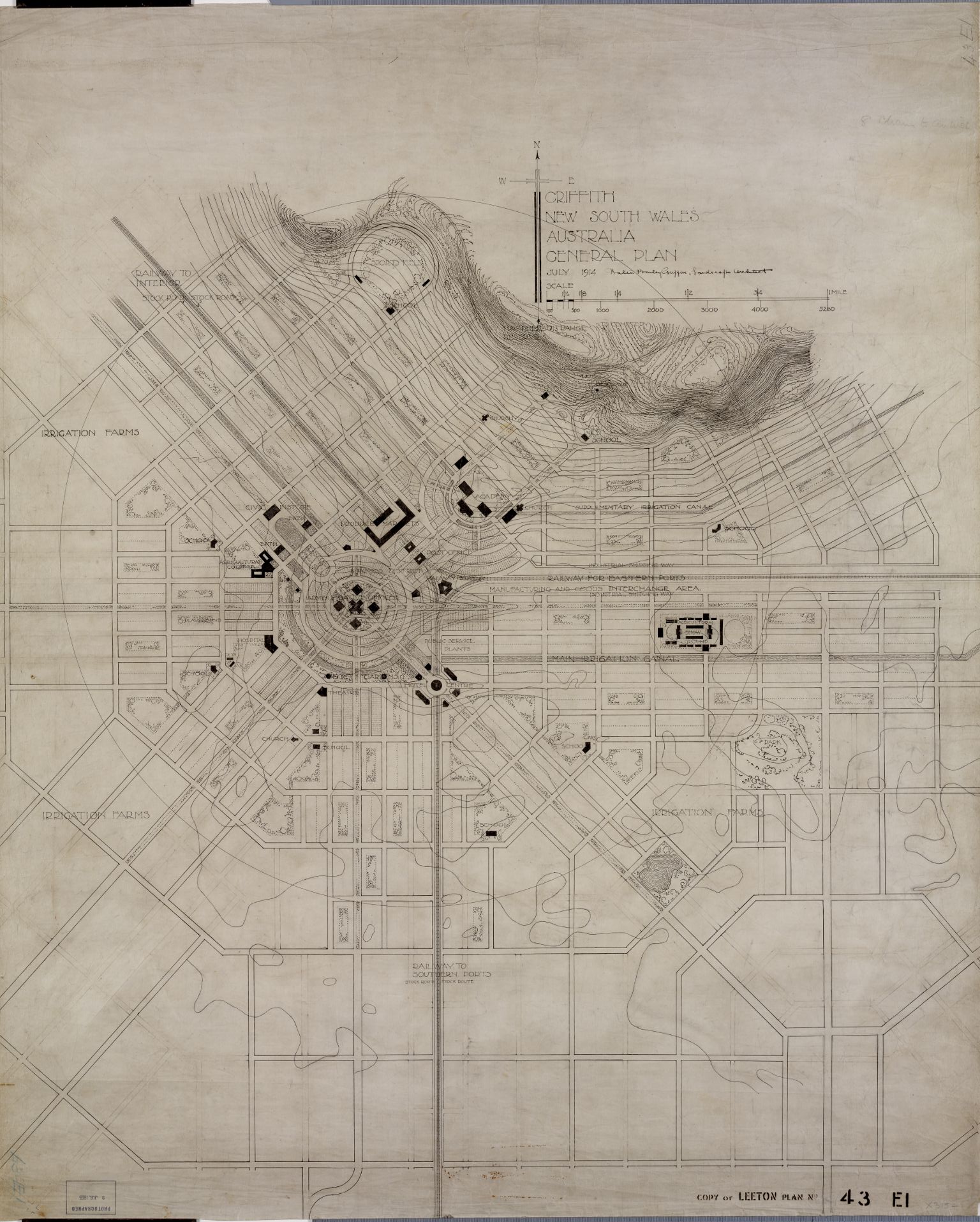
Leeton is a town located in the Riverina region of New South Wales, Australia. Leeton is situated in the Murrumbidgee Irrigation Area, approximately 550 km west of Sydney and 450 km north of Melbourne. It is the administrative centre of the Leeton Shire Council local government area, which includes neighbouring suburbs, towns and localities such as Yanco, Wamoon, Whitton, Gogeldrie, Stanbridge and Murrami. Situated in one of the most productive farming regions in the state, the town was designed by Walter Burley Griffin and purpose-built for the irrigation schemes announced by the New South Wales government in the early 20th century. The Leeton Shire possesses numerous citrus, rice, cotton, grape, walnut and wheat farms. Leeton is known as ''Australia's Rice Capital,'' as well as ''The Heart of SunRice Country'', as it is home to the headquarters of SunRice corporation, one of Australia's largest food exporters. Other industry includes Arnott’s Biscuits (previously Freed ... [...More Info...] [...Related Items...] OR: [Wikipedia] [Google] [Baidu] |
National Broadband Network
The National Broadband Network (NBN) is an Australian national wholesale open-access data network. It includes wired and radio communication components rolled out and operated by NBN Co, a Government-owned corporation. Internet service providers, known under NBN as retail service providers or RSPs, contract with NBN to access the data network and sell fixed Internet access to end users. Rationales for this national telecommunications infrastructure project included replacing the existing copper cable telephony network that is approaching end of life, and the rapidly growing demand for Internet access. As initially proposed by the Rudd Government in 2009, wired connections would have provided up to 100 Mbit/s (later increased to 1000 Mbit/s), decreased to a minimum of 25 Mbit/s in 2013 after the election of the Abbott Government. As the largest infrastructure project in Australia's history, NBN was the subject of significant political contention and has been an ... [...More Info...] [...Related Items...] OR: [Wikipedia] [Google] [Baidu] |
Griffith, New South Wales
Griffith is a major regional city in the Murrumbidgee Irrigation Area that is located in the north-western part of the Riverina region of New South Wales, known commonly as the food bowl of Australia. It is also the seat of the City of Griffith local government area. Like the Australian capital, Canberra, and extensions to the nearby town of Leeton, Griffith was designed by Walter Burley Griffin and Marion Mahony Griffin. Griffith was named after Arthur Hill Griffith, the then New South Wales Secretary for Public Works. Griffith was proclaimed a city in 1987, and had a population of 20,251 Estimated resident population, 30 June 2018. in June 2018. It can be accessed by road from Sydney and Canberra via the Hume Highway and the Burley Griffin Way and from Melbourne, via the Newell Highway and either by using the Kidman Way or the Irrigation Way. Griffith can be accessed from other places like Adelaide, Orange, and Bathurst through the Mid-Western Highway and the Rankins Spri ... [...More Info...] [...Related Items...] OR: [Wikipedia] [Google] [Baidu] |
Irrigation Way
Irrigation Way is a major rural road that runs approximately through the Murrumbidgee Irrigation Area in south western New South Wales, Australia. Route Irrigation Way commences at the intersection with Newell Highway in Narrandera and heads in a north-westerly direction for before reaching Leeton, continuing another before ending at the intersection with Kidman Way in Griffith. The road is an important link between the three towns as it is a very productive farming region. Irrigation Way provides a direct route between the national highway network and Griffith. This complements the two state routes that pass through Griffith. The route is most important in linking Leeton to other regions of the state as its only major road. History The passing of the ''Main Roads Act of 1924'' through the Parliament of New South Wales provided for the declaration of Main Roads, roads partially funded by the State government through the Main Roads Board (later the Department of Main Roads, ... [...More Info...] [...Related Items...] OR: [Wikipedia] [Google] [Baidu] |


