|
Uphall
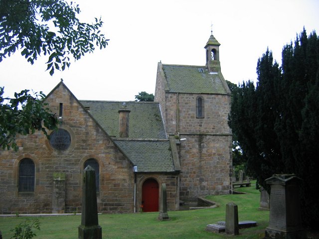
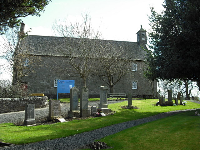
Uphall ( sco, Uphauch, gd, Ubhalaidh) is a village in West Lothian, Scotland. It is a swiftly growing village in a conurbation with Broxburn to the east, Dechmont to the west and the major town of Livingston to the south west. Uphall is 30 miles from Glasgow and 14 miles from Edinburgh in the Scottish Lowlands. Uphall Station and Pumpherston are separate villages that lie to the south of Uphall. Uphall has one primary school (Uphall primary school), several grocery stores, two cemeteries, a skatepark, football fields (King George Park), a golf course, a lawn bowls club (Middleton Hall) and a selection of public houses and hotels including the Volunteer Arms, Dovehill Arms, Oatridge Hotel and Houston House Hotel. History Uphall was historically a small settlement known as Wester Strathbrock (from the Gaelic "Srath Bhroc" meaning valley of the badgers), with its neighbour Broxburn being named Easter Strathbrock. The parish was centered around Strathbrock Castle (a Motte-and-bai ... [...More Info...] [...Related Items...] OR: [Wikipedia] [Google] [Baidu] |
Uphall Station
Uphall Station is a village located in West Lothian, Scotland. The name is derived from the neighbouring town Uphall on account of the railway station located on the northeast perimeter of the village. The village is situated southeast of Uphall and Broxburn, north of Pumpherston and northeast of Livingston. It lies approximately a quarter of a mile from the A89, which is a major road running between Greenock in the west of Scotland and Edinburgh in the east of Scotland. A gala day (an outdoor fête) is held annually, usually in June. Uphall railway station Housing Uphall Station has a variety of housing, including old Victorian and Edwardian stone-built cottages, modern housing estates, bungalows and cottages. The cottages were built during the mining days of Uphall Station to house the large mining community, since each property has been extended in different ways, every property is unique and house prices vary. Some cottages have low maintenance yards whilst others have very ... [...More Info...] [...Related Items...] OR: [Wikipedia] [Google] [Baidu] |
Uphall Railway Station
Uphall railway station serves the village of Uphall Station and some areas of Livingston in West Lothian, Scotland. It is located on the North Clyde Line, 12½ miles (20 km) west of Edinburgh. History The station was opened as Houston by the Edinburgh and Bathgate Railway on 12 November 1849. On 1 August 1856 it was renamed as Uphall. The station closed on 9 January 1956. Uphall Station was a large hub, centred on West Lothian oil production and shale mining. The area has changed beyond recognition in recent years. Before the M8 was constructed, Uphall oil works lay just north of the station, with extensive exchange sidings located next to the station. A branch continued north to Uphall, then swung eastward just south of Ecclesmachan (where a branch from Threemiletown joined). The line continued to the Greendykes area of Broxburn, (Albyn or Albion Oil works) where it connected with the lines from Broxburn junction (Winchburgh) (the Broxburn Railway) and Drumshoreland ... [...More Info...] [...Related Items...] OR: [Wikipedia] [Google] [Baidu] |
Broxburn, West Lothian
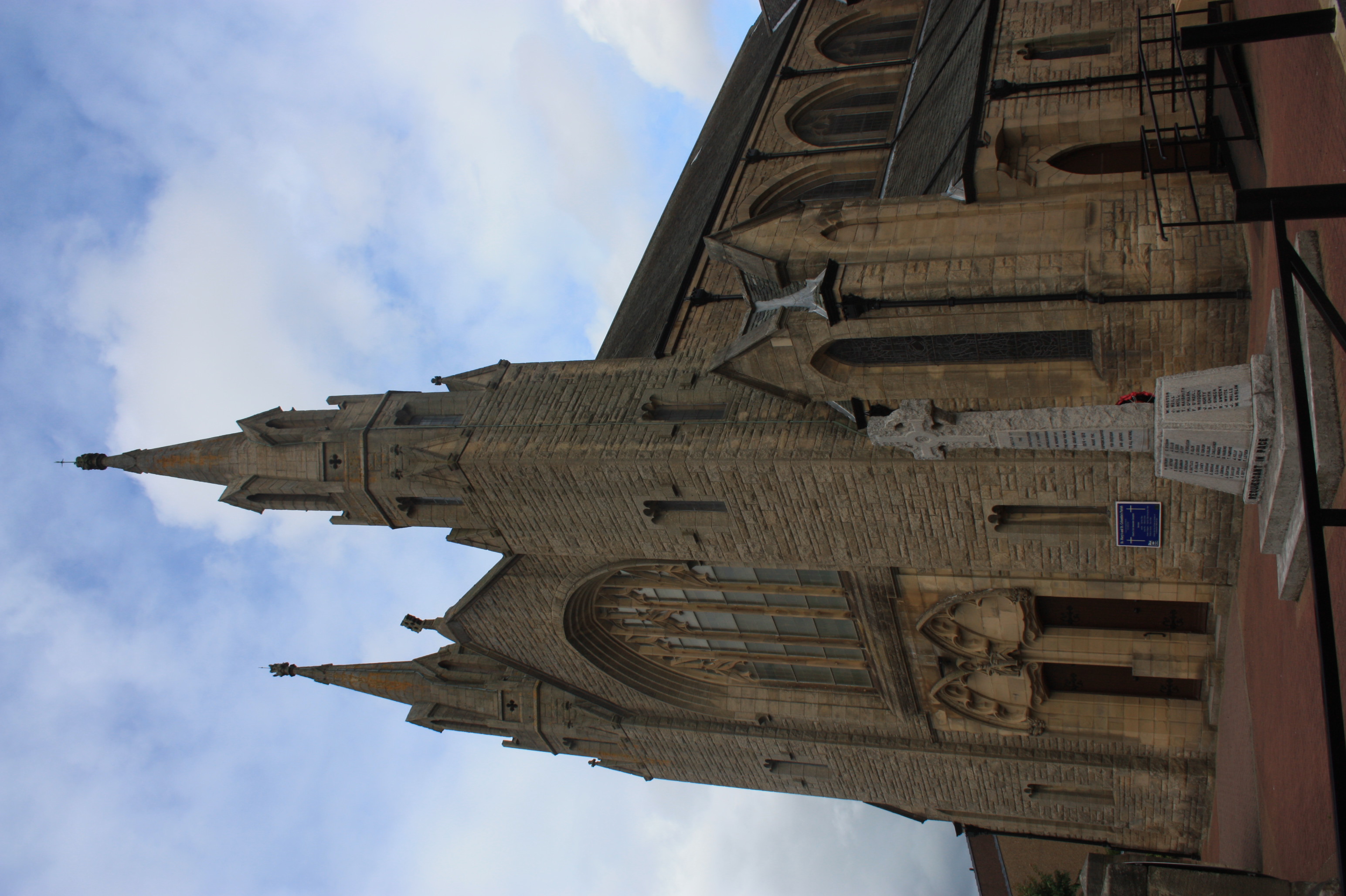
Broxburn ( gd, Srath Bhroc, IPA:[ˈs̪ɾaˈvɾɔʰk]) is a town in West Lothian, Scotland, on the A89 road (Great Britain), A89 road, from the West End of Edinburgh, from Edinburgh Airport and to the north of Livingston, West Lothian, Livingston. Etymology The name Broxburn is a corruption of "brock's burn", brock being an old Scots name for a badger whether from the Gaelic ''broc'' or the Pictish/Welsh/Brythonic ''Broch'' and burn (landform), burn being a Scots word for a large stream or small river. The village was earlier known as Easter Strathbrock (Uphall was Wester Strathbrock) with Strath coming either from the Gaelic ''srath'' or the Pictish/Welsh/Brythonic ''ystrad'' meaning a river valley. History The village that later became Broxburn probably originated around 1350 when Margery le Cheyne inherited the eastern half of the Barony of Strathbrock (Easter Strathbrock) on the death of her father, Sir Reginald le Cheyne III. The hamlet that grew up around her reside ... [...More Info...] [...Related Items...] OR: [Wikipedia] [Google] [Baidu] |
Broxburn
Broxburn ( gd, Srath Bhroc, IPA: �s̪ɾaˈvɾɔʰk is a town in West Lothian, Scotland, on the A89 road, from the West End of Edinburgh, from Edinburgh Airport and to the north of Livingston. Etymology The name Broxburn is a corruption of "brock's burn", brock being an old Scots name for a badger whether from the Gaelic ''broc'' or the Pictish/Welsh/Brythonic ''Broch'' and burn being a Scots word for a large stream or small river. The village was earlier known as Easter Strathbrock (Uphall was Wester Strathbrock) with Strath coming either from the Gaelic ''srath'' or the Pictish/Welsh/Brythonic ''ystrad'' meaning a river valley. History The village that later became Broxburn probably originated around 1350 when Margery le Cheyne inherited the eastern half of the Barony of Strathbrock (Easter Strathbrock) on the death of her father, Sir Reginald le Cheyne III. The hamlet that grew up around her residence was then called Eastertoun (eastern town) after the land on which it ... [...More Info...] [...Related Items...] OR: [Wikipedia] [Google] [Baidu] |
Pumpherston
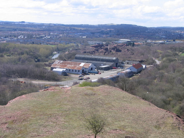
Pumpherston is a village in West Lothian, Scotland. Originally a small industrial village housing works for the nearby shale mine and works, it now forms the eastern part of the new town of Livingston, which was constructed to the west of Pumpherston in the late 1960s and quickly grew to incorporate Pumpherston in its wider urban settlement, as defined by the General Register Office for Scotland (GROS). The village of Uphall Station lies immediately to the north. History In 1884 the Pumpherston Oil Works was built to extract and product shale oil and the village developed adjacent to the works to house employed staff and their families. Pumpherston was initially divided into two villages, south and north. The north village had 116 homes and a co-operative store by 1885. By 1888, the south village had two rows of houses, comprising 48 tenements that had been erected. By 1914, Pumpherston north village had continued to expand to over 220 houses, as well as a workingmans institute, ... [...More Info...] [...Related Items...] OR: [Wikipedia] [Google] [Baidu] |
West Lothian
West Lothian ( sco, Wast Lowden; gd, Lodainn an Iar) is one of the 32 council areas of Scotland, and was one of its shires of Scotland, historic counties. The county was called Linlithgowshire until 1925. The historic county was bounded geographically by the River Avon, Falkirk, Avon to the west and the River Almond, Lothian, Almond to the east. The modern council area occupies a larger area than the historic county. It was reshaped following local government reforms in 1975: some areas in the west were transferred to Falkirk (council area), Falkirk; some areas in the east were transferred to Edinburgh; and some areas that had formerly been part of in Midlothian were added to West Lothian. West Lothian lies on the southern shore of the Firth of Forth and is predominantly rural, though there were extensive coal, iron, and shale oil mining operations in the 19th and 20th centuries. These created distinctive red-spoil heaps (locally known as "bing (mining), bings") throughout the ... [...More Info...] [...Related Items...] OR: [Wikipedia] [Google] [Baidu] |
Strathbrock Castle
Strathblock Castle, Uphall, West Lothian, Scotland, was a motte-and-bailey castle. The castle was the caput of the barony of Strathbrock. The lands were given to Freskyn, a Flemish nobleman, by King David I of Scotland in the 12th century. The castle passed by marriage to the le Chen family. By 1435, the castle was in the hands of the Douglas family Douglas may refer to: People * Douglas (given name) * Douglas (surname) Animals *Douglas (parrot), macaw that starred as the parrot ''Rosalinda'' in Pippi Longstocking *Douglas the camel, a camel in the Confederate Army in the American Civil W ..., and in 1524 the rector of Strathbrock Church lived there. The castle may have been a motte, with later stone buildings, and its remains were visible in the early 18th century. The area, to the south of Uphall's Main Street, is now built up. References Further reading * *Primrose, James. (1898) Strathbrock, or the history and antiquities of the parish of Uphall. Edinburgh. Castl ... [...More Info...] [...Related Items...] OR: [Wikipedia] [Google] [Baidu] |
Livingston, Scotland
Livingston ( sco, Leivinstoun, gd, Baile Dhunlèibhe) is the largest town in West Lothian, Scotland. Designated in 1962, it is the fourth post-war new town to be built in Scotland. Taking its name from a village of the same name incorporated into the new town, it was originally developed in the then-counties of Midlothian and West Lothian along the banks of the River Almond. It is situated approximately fifteen miles (25 km) west of Edinburgh and thirty miles (50 km) east of Glasgow, and is close to the towns of Broxburn to the north-east and Bathgate to the north-west. The town was built around a collection of small villages, Livingston Village, Bellsquarry, and Livingston Station (now part of Deans). The town has a number of residential areas. These include Craigshill, Howden, Ladywell, Knightsridge, Deans, Dedridge, Murieston, Almondvale, Eliburn, Kirkton, and Adambrae. There are several large industrial estates in Livingston, including Houston industrial e ... [...More Info...] [...Related Items...] OR: [Wikipedia] [Google] [Baidu] |
Livingston, West Lothian
Livingston ( sco, Leivinstoun, gd, Baile Dhunlèibhe) is the largest town in West Lothian, Scotland. Designated in 1962, it is the fourth post-war new town to be built in Scotland. Taking its name from a village of the same name incorporated into the new town, it was originally developed in the then-counties of Midlothian and West Lothian along the banks of the River Almond. It is situated approximately fifteen miles (25 km) west of Edinburgh and thirty miles (50 km) east of Glasgow, and is close to the towns of Broxburn to the north-east and Bathgate to the north-west. The town was built around a collection of small villages, Livingston Village, Bellsquarry, and Livingston Station (now part of Deans). The town has a number of residential areas. These include Craigshill, Howden, Ladywell, Knightsridge, Deans, Dedridge, Murieston, Almondvale, Eliburn, Kirkton, and Adambrae. There are several large industrial estates in Livingston, including Houston industrial esta ... [...More Info...] [...Related Items...] OR: [Wikipedia] [Google] [Baidu] |
Linlithgow (Scottish Parliament Constituency)
Linlithgow is a constituency of the Scottish Parliament ( Holyrood) covering part of the council area of West Lothian. It elects one Member of the Scottish Parliament (MSP) by the plurality (first past the post) method of election. It is also one of nine constituencies in the Lothian electoral region, which elects seven additional members, in addition to the nine constituency MSPs, to produce a form of proportional representation for the region as a whole. The seat has been held by Fiona Hyslop of the Scottish National Party since the 2011 Scottish Parliament election. Electoral region The other eight constituencies of the Lothian region are Almond Valley, Edinburgh Central, Edinburgh Eastern, Edinburgh Northern and Leith, Edinburgh Pentlands, Edinburgh Southern, Edinburgh Western and Midlothian North and Musselburgh The region includes all of the City of Edinburgh council area, parts of the East Lothian council area, parts of the Midlothian council area and a ... [...More Info...] [...Related Items...] OR: [Wikipedia] [Google] [Baidu] |
Bathgate
Bathgate ( sco, Bathket or , gd, Both Chèit) is a town in West Lothian, Scotland, west of Livingston and adjacent to the M8 motorway. Nearby towns are Armadale, Blackburn, Linlithgow, Livingston, West Calder and Whitburn. Situated south of the ancient Neolithic burial site at Cairnpapple Hill, Bathgate and the surrounding area show signs of habitation since about 3500 BC and the world's oldest known reptile fossil has been found in the town. By the 12th century, Bathgate was a small settlement, with a church at Kirkton and a castle south of the present day town centre. Local mines were established in the 17th century but the town remained small in size until the coming of the industrial revolution. By the Victorian era, Bathgate grew in prominence as an industrial and mining centre, principally associated with the coal and shale oil industries. By the early 20th century, much of the mining and heavy industry around the town had ceased and the town developed manufacturin ... [...More Info...] [...Related Items...] OR: [Wikipedia] [Google] [Baidu] |
Livingston (UK Parliament Constituency)
Livingston is a county constituency of the House of Commons of the Parliament of the United Kingdom, to which it returns one Member of Parliament (MP). Elections are held using the first-past-the-post voting system. It was formed from parts of traditional Midlothian and West Lothian for the 1983 general election. A similar constituency, also called Livingston, was used by the Scottish Parliament until 2011. In 2005 a small part of the Linlithgow constituency was moved into Livingston. Boundaries 1983–1997: The West Lothian District electoral divisions of Broxburn, Calders, Livingston North, and Livingston South; and the City of Edinburgh District ward of Kirkliston. 1997–2005: The West Lothian District electoral divisions of Broxburn/Uphall, Craigshill/Ladywell, Deans/Knightsridge, Dedridge/West Calder, and Murieston/East Calder. 2005–present: The area of the West Lothian Council other than that part in the Linlithgow and East Falkirk constituency. The constitue ... [...More Info...] [...Related Items...] OR: [Wikipedia] [Google] [Baidu] |


.png)
