|
United States Presidential Election In Connecticut, 2004
The 2004 United States presidential election in Connecticut took place on November 2, 2004, and was part of the 2004 United States presidential election. Voters chose seven representatives, or electors to the Electoral College, who voted for president and vice president. Connecticut was won by Democratic nominee John Kerry by a margin of 10.4%. Prior to the election, all 12 news organizations considered this a state Kerry would win, or otherwise considered as a safe blue state. In presidential elections, Connecticut is usually expected to fall into the Democrats' electoral vote column, as no Republican has won the state since Bush's father George H. W. Bush in 1988. Although Connecticut was the birth state of George W. Bush, and the Bush family does have a house in the state, Connecticut was never considered competitive in 2004. This is the only election since 1968 in which the Republican nominee won the popular vote without carrying Connecticut, and the only election ever in ... [...More Info...] [...Related Items...] OR: [Wikipedia] [Google] [Baidu] |
John F
John is a common English name and surname: * John (given name) * John (surname) John may also refer to: New Testament Works * Gospel of John, a title often shortened to John * First Epistle of John, often shortened to 1 John * Second Epistle of John, often shortened to 2 John * Third Epistle of John, often shortened to 3 John People * John the Baptist (died c. AD 30), regarded as a prophet and the forerunner of Jesus Christ * John the Apostle (lived c. AD 30), one of the twelve apostles of Jesus * John the Evangelist, assigned author of the Fourth Gospel, once identified with the Apostle * John of Patmos, also known as John the Divine or John the Revelator, the author of the Book of Revelation, once identified with the Apostle * John the Presbyter, a figure either identified with or distinguished from the Apostle, the Evangelist and John of Patmos Other people with the given name Religious figures * John, father of Andrew the Apostle and Saint Peter * Pope Jo ... [...More Info...] [...Related Items...] OR: [Wikipedia] [Google] [Baidu] |
1988 United States Presidential Election In Connecticut
The 1988 United States presidential election in Connecticut took place on November 8, 1988, as part of the 1988 United States presidential election, which was held throughout all 50 states and D.C. Voters chose eight representatives, or electors to the Electoral College, who voted for president and vice president. Connecticut voted for the Republican nominee, Vice President George H. W. Bush, over the Democratic nominee, Massachusetts Governor Michael Dukakis, by a margin of 5.10%. Bush took 51.98% of the vote to Dukakis's 46.87%. This result nonetheless made Connecticut 2.7% more Democratic than the nation-at-large. Although Dukakis won only Hartford County, he took 47-49% of the vote in 5 other counties, making it a close race statewide. He came much closer to winning the state than Walter Mondale, who had lost the state by over 20 points four years earlier. Dukakis's gains reflected liberal New England's drift as a whole toward the Democratic Party, as the Republican Pa ... [...More Info...] [...Related Items...] OR: [Wikipedia] [Google] [Baidu] |
1904 United States Presidential Election In Connecticut
The 1904 United States presidential election in Connecticut took place on November 8, 1904, as part of the 1904 United States presidential election. Voters chose seven representatives, or electors to the Electoral College, who voted for president and vice president. Connecticut overwhelmingly voted for the Republican nominee, President Theodore Roosevelt, over the Democratic nominee, former Chief Judge of New York Court of Appeals Alton B. Parker. Roosevelt won Connecticut by a margin of 19.97%. Results See also * United States presidential elections in Connecticut References Connecticut Connecticut () is the southernmost state in the New England region of the Northeastern United States. It is bordered by Rhode Island to the east, Massachusetts to the north, New York to the west, and Long Island Sound to the south. Its cap ... 1904 1904 Connecticut elections {{Connecticut-election-stub ... [...More Info...] [...Related Items...] OR: [Wikipedia] [Google] [Baidu] |
Roxbury, Connecticut
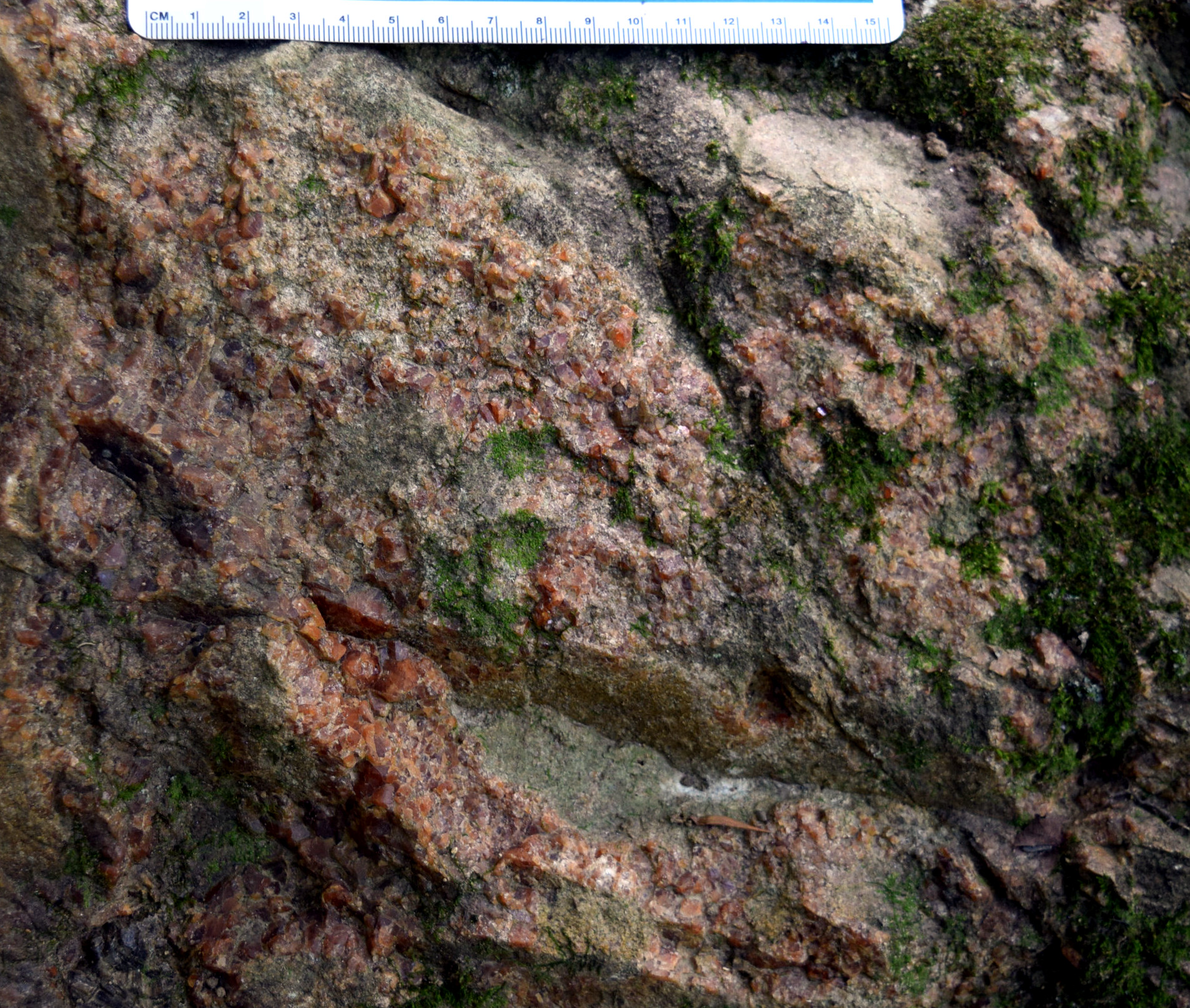
Roxbury is a town in Litchfield County, Connecticut, United States. The population was 2,260 at the 2020 census. The town is located northeast of New York City. History Roxbury, whose Native name was ''Shepaug'', a Mahican word signifying "rocky water", was settled about 1713. Originally a part of Woodbury, the town was incorporated in October 1796. Roxbury is either descriptively named, or the name is a transfer from Roxbury, Massachusetts. Mine Hill and its minerals have been associated with Roxbury since the middle of the 18th century. A silver mine was opened here and was later found to contain spathic iron, specially adapted to steel making, and a small smelting furnace was built. The abundance of granite found in many of Mine Hill's quarries provided the building material for the ore roaster and blast furnace, as well as for such world wonders as the Brooklyn Bridge and Grand Central Terminal in New York City. Geography Roxbury is in southern Litchfield County and is b ... [...More Info...] [...Related Items...] OR: [Wikipedia] [Google] [Baidu] |
1872 United States Presidential Election In Connecticut
The 1872 United States presidential election in Connecticut took place on November 5, 1872. All contemporary 37 states were part of the 1872 United States presidential election. The state voters chose six electors to the Electoral College, which selected the president and vice president. Connecticut was won by the Republican nominees, incumbent President Ulysses S. Grant of Illinois and his running mate Senator Henry Wilson of Massachusetts. Grant and Wilson defeated the Liberal Republican and Democratic nominees, former Congressman Horace Greeley of New York and his running mate former Senator and Governor Benjamin Gratz Brown of Missouri by a narrow margin of 4.82%. Results Results by county See also * United States presidential elections in Connecticut References Connecticut 1872 Events January–March * January 12 – Yohannes IV is crowned Emperor of Ethiopia in Axum, the first ruler crowned in that city in over 500 years. * Februa ... [...More Info...] [...Related Items...] OR: [Wikipedia] [Google] [Baidu] |
Lyme, Connecticut
Lyme is a New England town, town in New London County, Connecticut, New London County, Connecticut, United States, situated on the eastern side of the Connecticut River. The population was 2,352 at the 2020 United States Census, 2020 census. Lyme is the eponym of Lyme disease. History In February 1665, the portion of the territory of the Saybrook Colony east of the Connecticut River was set off as the plantation of East Saybrook, which included present-day Lyme, Old Lyme, Connecticut, Old Lyme, and the western part of East Lyme, Connecticut, East Lyme. In 1667, the Connecticut General Court formally recognized the East Saybrook plantation as the town of Lyme, named after Lyme Regis, a coastal town in the south of England. The eastern portion of Lyme (bordering the town of Waterford, Connecticut, Waterford) separated from Lyme in 1823 and became part of East Lyme. The southern portion of Lyme (along Long Island Sound) separated in 1855 as South Lyme (renamed Old Lyme in 1857). Both ... [...More Info...] [...Related Items...] OR: [Wikipedia] [Google] [Baidu] |
Essex, Connecticut
Essex is a town in Middlesex County, Connecticut, United States. The population was 6,733 at the 2020 census. It is made up of three villages: Essex Village, Centerbrook, and Ivoryton. History The Great Attack Essex is one of the few American towns to have ever been attacked by a foreign power; this occurred on April 8, 1814, and the economic losses were among the largest sustained by the United States during the War of 1812. 28 vessels, with a total value estimated to be close to $200,000 (at a time when a very large two story home in Essex, then known as Potapoug Point, would have been worth no more than $1,000), were destroyed by the British. One historian has called it the "Pearl Harbor" of that war. On that date, approximately 136 British marines and sailors under the command of Richard Coote (or Coot"Essex", Mary Murphy, the Hartford Courant, April 25, 2007, Middlesex County advertising supplement page 1.) rowed 6 boats from four British warships (the , , ''Maidst ... [...More Info...] [...Related Items...] OR: [Wikipedia] [Google] [Baidu] |
Simsbury, Connecticut
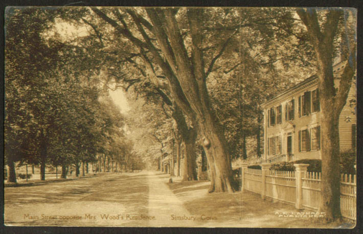
Simsbury is a town in Hartford County, Connecticut, United States. The population was 24,517 at the 2020 census. The town was incorporated as Connecticut's 21st town in May 1670. History Early history At the beginning of the 17th century, the area today known as Simsbury was inhabited by indigenous peoples. The Wappinger The Wappinger () were an Eastern Algonquian Munsee-speaking Native American people from what is now southern New York and western Connecticut. At the time of first contact in the 17th century they were primarily based in what is now Dutches ... were one of these groups, composed of eighteen bands, organized not as formally as a tribe, but more of an association, like the Lenape, Delaware. These bands lived between the Hudson River, Hudson and Connecticut River, Connecticut rivers. The Wappingers were one of the Algonquian peoples, a linguistic grouping which includes hundreds of tribes. One of the Wappinger bands, the Massaco, lived near, but mostly we ... [...More Info...] [...Related Items...] OR: [Wikipedia] [Google] [Baidu] |
Redding, Connecticut
Redding is a town in Fairfield County, Connecticut, United States. The population was 8,765 at the 2020 census. History Early settlement and establishment At the time colonials began receiving grants for land within the boundaries of present-day Redding, Native American trails crossed through portions of the area, including the Berkshire Path running north–south. In 1639, Roger Ludlow (also referenced as Roger Ludlowe in many accounts) purchased land from local Native Americans to establish Fairfield, and in 1668 Fairfield purchased another tract of land then called Northfield, which comprised land that is now part of Redding. "National Register of Historic Places Continuation Sheet, Redding Center Historic District," U.S. Department of the Interior, 1992-10-01. Retrieved 2014-04-30. For settlement purposes, Fairfield authorities divided the newly available land into parcels dubbed "long lots" at the time, which north–south measured no more than a third of a mile wide but ... [...More Info...] [...Related Items...] OR: [Wikipedia] [Google] [Baidu] |
Madison, Connecticut
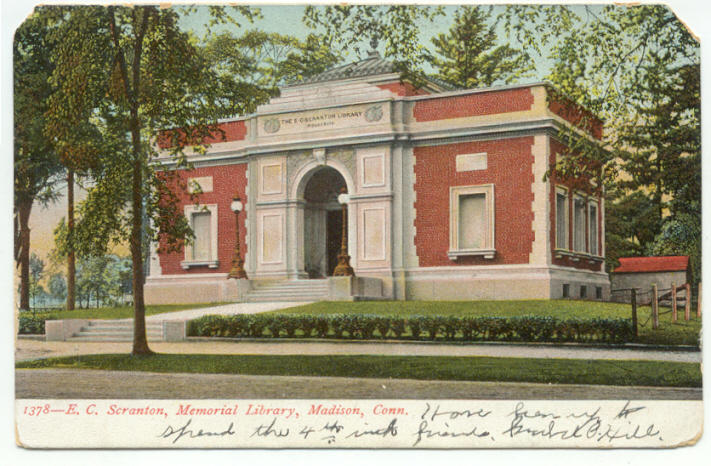
Madison is a town in the southeastern corner of New Haven County, Connecticut, United States, occupying a central location on Connecticut's Long Island Sound shoreline. The population was 17,691 at the 2020 census. Madison was first settled in 1641. Throughout the 18th century, Madison was known as East Guilford until it was incorporated as a town in 1826. The present name is after James Madison, 4th President of the United States. Beaches Hammonasset Beach State Park possesses the state's longest public beach, with campsites, picnic areas, and a fishing pier, and is extremely popular in the summer, causing traffic jams on I-95 on peak days. Surf Club Beach is the town's major public beach with lifeguards and recreational facilities for baseball, softball, basketball, volleyball, and horseshoes. It features playgrounds for children and picnic tables for families, as well as sailboat and kayak racks. It is also home to several athletic fields, including Strong Field, the town's m ... [...More Info...] [...Related Items...] OR: [Wikipedia] [Google] [Baidu] |
Cheshire, Connecticut
Cheshire ( ), formerly known as New Cheshire Parish, is a town in New Haven County, Connecticut, United States. At the time of the 2020 United States Census, 2020 census, the population of Cheshire was 28,733. The center of population of Connecticut is located in Cheshire. History Cheshire, Connecticut was first settled in 1694 as part of Wallingford, Connecticut. It was then known as ''New Cheshire Parish.'' After many attempts in securing their independence from Wallingford, New Cheshire Parish was granted secession and was later incorporated as a town in May 1780 as ''Cheshire''. The name is a transfer from Cheshire, in England. Prospect, Connecticut, was formerly part of Cheshire before 1829, and was then known as ''Columbia Parish.'' Preparedness shelter Cheshire has a Cold War-era fallout shelter constructed in 1966, located underneath the local AT&T tower. Cheshire home invasion trial During a July 23, 2007 home invasion in Cheshire (''see Cheshire, Connecticut, home ... [...More Info...] [...Related Items...] OR: [Wikipedia] [Google] [Baidu] |
Bethel, Connecticut
Bethel () is a New England town, town in Fairfield County, Connecticut, United States. Its population was 11,988 in 2022 according to World Population Review. The town includes the Bethel (CDP), Connecticut, Bethel Census Designated Place. Interstate 84 in Connecticut, Interstate 84 passes through Bethel, and it has a Bethel (Metro-North station), train station on the Danbury Branch of Metro-North Railroad, Metro-North's New Haven Line. History Bethel was first settled around 1700. The town incorporated in 1855 from Danbury, Connecticut, Danbury. Bethel is a name derived from Hebrew meaning "house of God". The first meeting of the Young Communist League USA, Young Communist League was held in Bethel in May 1922. In 1934, Rudolph Kunett started the first vodka distillery in the U.S. after purchasing rights to the recipe from the exiled Smirnoff family. Geography According to the United States Census Bureau, the town has a total area of , of which is land and , or 0.53%, ... [...More Info...] [...Related Items...] OR: [Wikipedia] [Google] [Baidu] |


