|
USS Buoyant
USS ''Buoyant'' (AM-153) was an built for the U.S. Navy during World War II. After service in the Pacific, which netted her crew one battle star, she was decommissioned in May 1946 and sold to the Republic of China. Her name in Republic of China Navy service and her fate are not reported in secondary sources. Career ''Buoyant'' was launched 24 November 1942 by Willamette Iron and Steel Works, Portland, Oregon, and commissioned 30 September 1943. ''Buoyant'' arrived at Adak, Alaska, 30 December 1943 and engaged in escort duty along the Aleutian chain, making frequent stops at Kodiak, Dutch Harbor, Sand Bay, Amchitka, Adak, and Attu until 1 July 1944. In July she sailed to San Francisco, California, for a three-week availability at Treasure Island, California. On 1 August 1944 she escorted a convoy to Eniwetok via Pearl Harbor. On 4 September, at Saipan, she was assigned to the Forward Area Escort and Patrol Group. The ensuing six months were spent on the sea lanes betwe ... [...More Info...] [...Related Items...] OR: [Wikipedia] [Google] [Baidu] |
Willamette Iron And Steel Works
Willamette Iron Works (also known as Willamette Iron and Steel Company or WISCO) was a general foundry and machine business established in 1865 in Portland, Oregon, originally specializing in the manufacture of steamboat boilers and engines. In 1904, the company changed its name to Willamette Iron and Steel Works, under which name it operated continually until its close in 1990. The works was very busy during the World War I shipbuilding boom, building boilers for Northwest Steel and Albina Engine & Machine Works in Portland, G. M. Standifer Construction in Vancouver, Alameda Works Shipyard, Union Iron Works, Western Pipe and Steel, Schaw-Batcher and the Moore Dry Dock Company in San Francisco, Southwestern Shipbuilding Company, Southwestern Shipbuilding and the Long Beach Shipbuilding Company in Los Angeles, Skinner & Eddy, J. F. Duthie & Company, J. F. Duthie and Ames Shipbuilding and Dry Dock Company, Ames in Seattle and Todd Dry Dock and Construction Company, Todd Construct ... [...More Info...] [...Related Items...] OR: [Wikipedia] [Google] [Baidu] |
Secondary Source
In Scholarly method, scholarship, a secondary sourcePrimary, secondary and tertiary sources . University Libraries, University of Maryland.Secondary sources ". James Cook University. is a document or recording that relates or discusses information originally presented elsewhere. A secondary source contrasts with a primary source, which is an original source of the information being discussed; a primary source can be a person with direct knowledge of a situation or a document created by such a person. A secondary source is one that gives information about a primary source. In this source, the original information is selected, modified and arranged in a suitable format. ... [...More Info...] [...Related Items...] OR: [Wikipedia] [Google] [Baidu] |
Pearl Harbor
Pearl Harbor is an American lagoon harbor on the island of Oahu, Hawaii, west of Honolulu. It was often visited by the Naval fleet of the United States, before it was acquired from the Hawaiian Kingdom by the U.S. with the signing of the Reciprocity Treaty of 1875. Much of the harbor and surrounding lands are now a United States Navy deep-water naval base. It is also the headquarters of the United States Pacific Fleet. The U.S. government first obtained exclusive use of the inlet and the right to maintain a repair and coaling station for ships here in 1887. The surprise attack by the Imperial Japanese Navy on December 7, 1941, led the United States to declare war on the Empire of Japan, making the attack on Pearl Harbor the immediate cause of the United States' entry into World War II. History Pearl Harbor was originally an extensive shallow embayment called ''Wai Momi'' (meaning, “Waters of Pearl”) or ''Puuloa'' (meaning, “long hill”) by the Hawaiians. Puuloa was r ... [...More Info...] [...Related Items...] OR: [Wikipedia] [Google] [Baidu] |
Eniwetok
Enewetak Atoll (; also spelled Eniwetok Atoll or sometimes Eniewetok; mh, Ānewetak, , or , ; known to the Japanese as Brown Atoll or Brown Island; ja, ブラウン環礁) is a large coral atoll of 40 islands in the Pacific Ocean and with its 664 people (as of 2011) forms a legislative district of the Ralik Chain of the Marshall Islands. With a land area total less than , it is no higher than and surrounds a deep central lagoon, in circumference. It is the second-westernmost atoll of the Ralik Chain and is west from Bikini Atoll. It was held by the Japanese from 1914 until its capture by the United States in February 1944, during World War II, then became Naval Base Eniwetok. Nuclear testing by the US totaling the equivalent of over 30 megatons of TNT took place during the Cold War; in 1977–1980, a concrete dome (the Runit Dome) was built on Runit Island to deposit radioactive soil and debris. The Runit Dome is deteriorating and could be breached by a typhoon, though ... [...More Info...] [...Related Items...] OR: [Wikipedia] [Google] [Baidu] |
Convoy
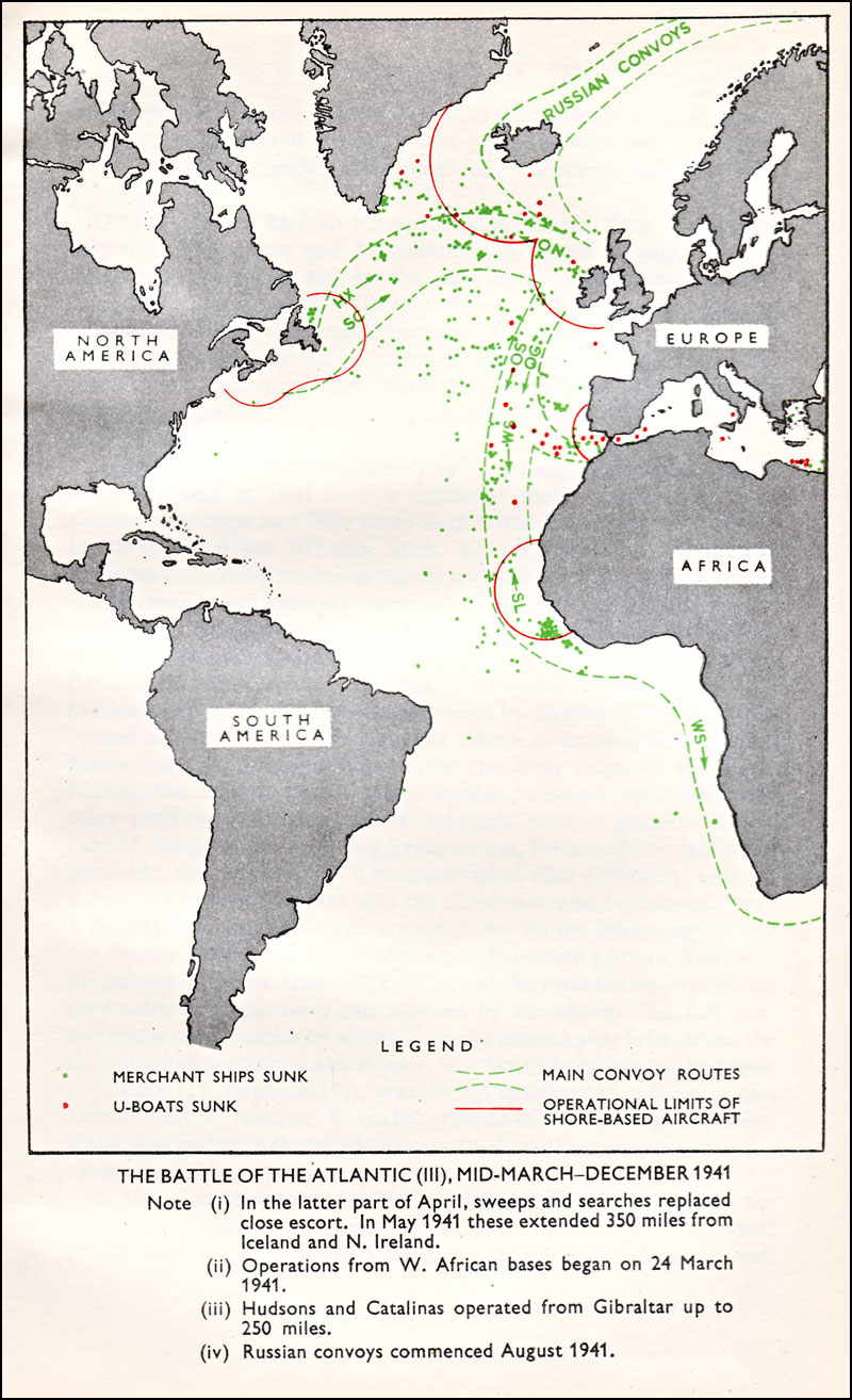
A convoy is a group of vehicles, typically motor vehicles or ships, traveling together for mutual support and protection. Often, a convoy is organized with armed defensive support and can help maintain cohesion within a unit. It may also be used in a non-military sense, for example when driving through remote areas. Naval convoys Age of Sail Naval convoys have been in use for centuries, with examples of merchant ships traveling under naval protection dating to the 12th century. The use of organized naval convoys dates from when ships began to be separated into specialist classes and national navies were established. By the French Revolutionary Wars of the late 18th century, effective naval convoy tactics had been developed to ward off pirates and privateers. Some convoys contained several hundred merchant ships. The most enduring system of convoys were the Spanish treasure fleets, that sailed from the 1520s until 1790. When merchant ships sailed independently, a privateer cou ... [...More Info...] [...Related Items...] OR: [Wikipedia] [Google] [Baidu] |
Treasure Island, California
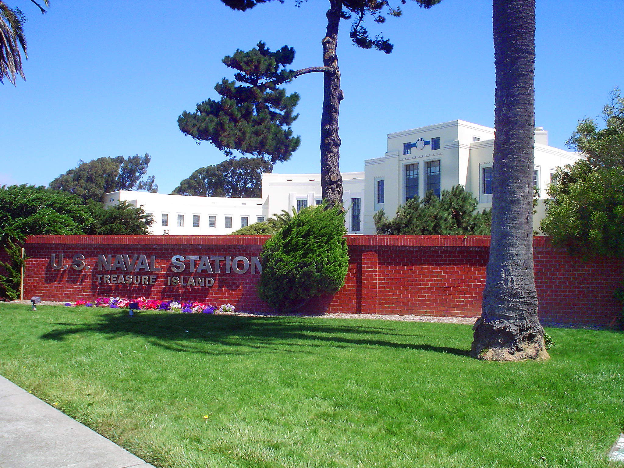
Treasure Island is an artificial island in the San Francisco Bay and a neighborhood in the City and County of San Francisco. Built in 1936–37 for the 1939 Golden Gate International Exposition, the island's World's Fair site is a California Historical Landmark. Buildings there have been listed on the National Register of Historic Places, and the historical Naval Station Treasure Island, an auxiliary air facility (for airships, blimps, dirigibles, planes and seaplanes), are designated in the Geographic Names Information System. Geography The San Francisco census tract that includes Treasure Island extends up and down the San Francisco Bay and includes a small uninhabited tip of western Alameda Island. Yerba Buena and Treasure islands together have a land area of with – in 2010 – a total population of 2,500. Treasure Island alone is 393 acres. It is connected by a causeway to Yerba Buena Island, which in turn has on- and off-ramps to Interstate 80 on the San Francisco–Oak ... [...More Info...] [...Related Items...] OR: [Wikipedia] [Google] [Baidu] |
San Francisco, California
San Francisco (; Spanish for " Saint Francis"), officially the City and County of San Francisco, is the commercial, financial, and cultural center of Northern California. The city proper is the fourth most populous in California and 17th most populous in the United States, with 815,201 residents as of 2021. It covers a land area of , at the end of the San Francisco Peninsula, making it the second most densely populated large U.S. city after New York City, and the fifth most densely populated U.S. county, behind only four of the five New York City boroughs. Among the 91 U.S. cities proper with over 250,000 residents, San Francisco was ranked first by per capita income (at $160,749) and sixth by aggregate income as of 2021. Colloquial nicknames for San Francisco include ''SF'', ''San Fran'', ''The '', ''Frisco'', and ''Baghdad by the Bay''. San Francisco and the surrounding San Francisco Bay Area are a global center of economic activity and the arts and sciences, spurred ... [...More Info...] [...Related Items...] OR: [Wikipedia] [Google] [Baidu] |
Attu Island
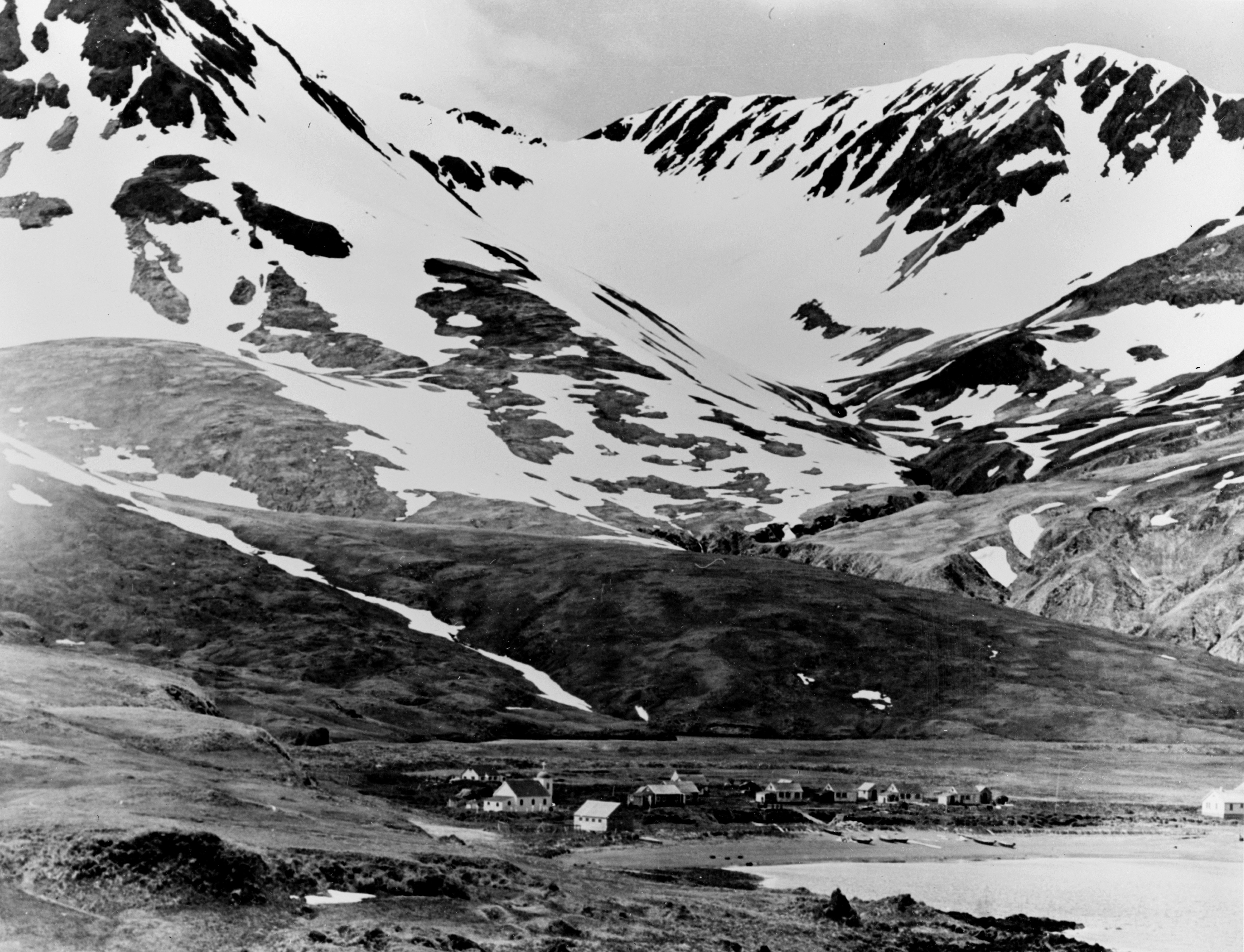
Attu ( ale, Atan, russian: Атту, link=no) is an island in the Near Islands (part of the Aleutian Islands chain). It is the westernmost point of the U.S. state of Alaska. The island became uninhabited in 2010, making it the largest uninhabited island to be politically part of the United States. (archived June 25, 2017) The Battle of Attu was the site of the only World War II land battle fought in the United States. The battlefield area is a U.S. National Historic Landmark. Attu Station, a former Coast Guard LORAN station, is located at , making it one of the westernmost points of the United States relative to the rest of the country. However, since it is in the Eastern Hemisphere, being on the opposite side of the 180° longitude line of the contiguous 48 states, it can also be considered one of the easternmost points of the country (a second Aleutian Island, Semisopochnoi Island at 179°46′E, is the easternmost location in the United States by this definition). For purpo ... [...More Info...] [...Related Items...] OR: [Wikipedia] [Google] [Baidu] |
Adak Island
Adak Island ( ale, Adaax, russian: Адак) or Father Island is an island near the western extent of the Andreanof Islands group of the Aleutian Islands in Alaska. Alaska's southernmost town, Adak, Alaska, Adak, is located on the island. The island has a land area of , measuring long and wide, making it the List of islands of the United States by area, 25th largest island in the United States. Due to harsh winds, frequent cloud cover, and cold temperatures, vegetation is mostly tundra (grasses, mosses, berries, low-lying flowering plants) at lower elevations. The highest point is Mount Moffett, near the northwest end of the island, at an elevation of 3,924 feet (1,196 m). It is snow covered the greater part of the year. Adak is its largest and principal city. The word ''Adak'' is from the Aleut language, Aleut word ''adaq'', which means "father". History Adak Island has been the home to Aleut people, Aleut peoples since antiquity. Russian explorers in the 18th century also v ... [...More Info...] [...Related Items...] OR: [Wikipedia] [Google] [Baidu] |
Amchitka
Amchitka (; ale, Amchixtax̂; russian: Амчитка) is a volcanic, tectonically unstable and uninhabited island in the Rat Islands group of the Aleutian Islands in southwest Alaska. It is part of the Alaska Maritime National Wildlife Refuge. The island, with a land area of roughly , is about long and wide. The area has a maritime climate, with many storms, and mostly overcast skies. Amchitka was populated for more than 2,500 years by the Aleut people, but has had no permanent population since 1832. The island has been part of the United States since the Alaska Purchase of 1867. During World War II, it was used as an airfield by US forces in the Aleutian Islands Campaign. Amchitka was selected by the United States Atomic Energy Commission to be the site for underground detonations of nuclear weapons. Three such tests were carried out: ''Long Shot'', an blast in 1965; ''Milrow'', a blast in 1969; and '' Cannikin'' in 1971 – at , the largest underground test eve ... [...More Info...] [...Related Items...] OR: [Wikipedia] [Google] [Baidu] |
Sand Bay
Sand is a granular material composed of finely divided mineral particles. Sand has various compositions but is defined by its grain size. Sand grains are smaller than gravel and coarser than silt. Sand can also refer to a textural class of soil or soil type; i.e., a soil containing more than 85 percent sand-sized particles by mass. The composition of sand varies, depending on the local rock sources and conditions, but the most common constituent of sand in inland continental settings and non-tropical coastal settings is silica (silicon dioxide, or SiO2), usually in the form of quartz. Calcium carbonate is the second most common type of sand, for example, aragonite, which has mostly been created, over the past 500million years, by various forms of life, like coral and shellfish. For example, it is the primary form of sand apparent in areas where reefs have dominated the ecosystem for millions of years like the Caribbean. Somewhat more rarely, sand may be composed of calc ... [...More Info...] [...Related Items...] OR: [Wikipedia] [Google] [Baidu] |
Dutch Harbor
Dutch Harbor is a harbor on Amaknak Island in Unalaska, Alaska. It was the location of the Battle of Dutch Harbor in June 1942, and was one of the few sites in the United States to be subjected to aerial bombardment by a foreign power during World War II. It was also one of the few sites, besides the attack on Pearl Harbor in Hawaii, in incorporated U.S. territory to be bombed by the Japanese in the war. Dutch Harbor is now the home of an important fishing industry. Russian to American Druzhinin, the commander of the Russian ship ''Zakharii I Elisaveta'', is credited for discovering the deep-water harbor now known as Dutch Harbor. Dutch Harbor is located within the Aleutian Islands of Alaska, more precisely on Amaknak Island in the Fox Islands. A mile long spit extending from the northeast end of Amaknak Island makes Dutch Harbor a natural port, protecting ships from the waves and currents of the Bering Sea, although winds off the Bering Sea have tossed shipments from decks of ... [...More Info...] [...Related Items...] OR: [Wikipedia] [Google] [Baidu] |


