|
US-163 (UT)
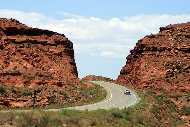
U.S. Route 163 (also U.S. Highway 163, US 163) is a U.S. Highway that runs from US 160 northward to US 191 in the U.S. states of Arizona and Utah. The southernmost of its length are within the Navajo Nation. The highway forms part of the Trail of the Ancients, a National Scenic Byway. The highway cuts through the heart of Monument Valley and has been featured in numerous movies and commercials. The highway was designated in 1970, replacing Arizona State Route 464 and Utah State Route 47 as well as a portion of the old alignment of US 160 in Utah. In 1981, US 191 was routed over the northern section of US 163, effectively truncating the northern terminus to Bluff, Utah, from Crescent Junction. The state of Utah briefly had plans for a different routing of US 163 north of Bluff. These plans were rejected, resulting in discrepancies between the signed route and the official designation by the American Association of State Highway and Transportation Officials t ... [...More Info...] [...Related Items...] OR: [Wikipedia] [Google] [Baidu] |
Arizona Department Of Transportation
The Arizona Department of Transportation (ADOT, pronounced "A-Dot") is an Arizona state government agency charged with facilitating mobility within the state. In addition to managing the state's state highways, highway system, the agency is also involved with public transportation and airport, municipal airports. The department was created in 1974 when the state merged the Arizona Highway Department with the Arizona Department of Aeronautics. ADOT was a pioneer in the use of rubberized asphalt as a method to increase durability and reduce road noise on state highways while providing an opportunity to tire recycling, recycle scrap tires. Its "Quiet Pavement" project started in 2003 surfaced about of Phoenix-area freeways with rubberized asphalt. Former U.S. Secretary of Transportation Mary Peters (politician), Mary Peters had previously been a Director of ADOT. The current Federal Highway Administrator, Victor Mendez, was also previously a Director of ADOT. ADOT's publications di ... [...More Info...] [...Related Items...] OR: [Wikipedia] [Google] [Baidu] |
Bureau Of Indian Affairs
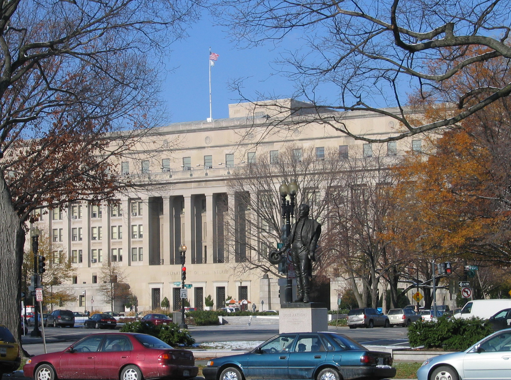
The Bureau of Indian Affairs (BIA), also known as Indian Affairs (IA), is a United States federal agency within the Department of the Interior. It is responsible for implementing federal laws and policies related to American Indians and Alaska Natives, and administering and managing over of land held in trust by the U.S. federal government for Indian Tribes. It renders services to roughly 2 million indigenous Americans across 574 federally recognized tribes. The BIA is governed by a director and overseen by the assistant secretary for Indian affairs, who answers to the secretary of the interior. The BIA works with tribal governments to help administer law enforcement and justice; promote development in agriculture, infrastructure, and the economy; enhance tribal governance; manage natural resources; and generally advance the quality of life in tribal communities. Educational services are provided by Bureau of Indian Education—the only other agency under the assistan ... [...More Info...] [...Related Items...] OR: [Wikipedia] [Google] [Baidu] |
Forrest Gump Point Monument Valley November 2018 002
Forrest may refer to: Places Australia *Forrest, Australian Capital Territory *Forrest, Victoria, a small rural township *Division of Forrest, a federal division of the Australian House of Representatives, in Western Australia *Electoral district of Forrest, Western Australia, an electoral district from 1904 to 1950 * Forrest Land District, Western Australia, a cadastral division *Forrest, Western Australia, a small settlement and railway station **Forrest Airport *Forrest River, Western Australia *Forrest Highway, Western Australia United States *Forrest, Illinois, a village *Forrest City, Arkansas * Forrest Township, Livingston County, Illinois *Forrest County, Mississippi *Camp Forrest, an American World War II training base in Tullahoma, Tennessee Elsewhere *Forrest Pass, Marie Byrd Land, Antarctica *Forrest, Manitoba, Canada, a small town *Forrest Road, a street in Edinburgh, Scotland People and fictional characters *Forrest (surname) * Forrest (given name) *Forrest (singe ... [...More Info...] [...Related Items...] OR: [Wikipedia] [Google] [Baidu] |
Interstate 70 (Utah)
Interstate 70 (I-70) is a mainline route of the Interstate Highway System in the United States connecting Utah and Maryland. The Utah section runs east–west for approximately across the central part of the state. Richfield is the largest Utah city served by the freeway, which does not serve or connect any urban areas in the state. The freeway was built as part of a system of highways connecting Los Angeles and the Northeastern United States. I-70 was the second attempt to connect southern California to the east coast of the United States via central Utah, the first being a failed attempt to construct a transcontinental railroad. Parts of that effort were reused in the laying out of the route of I-70. Unlike most Interstate Highways, much of I-70 in Utah was not constructed parallel to or on top of an existing U.S. Route. Portions of I-70 were constructed in areas where previously there were no paved roads. Because it was built over an entirely new route, I-70 has ma ... [...More Info...] [...Related Items...] OR: [Wikipedia] [Google] [Baidu] |
Monticello, Utah
Monticello ( ) is a city located in San Juan County, Utah, United States and is the county seat. It is the second most populous city in San Juan County, with a population of 1,972 at the 2010 census. The Monticello area was settled in July 1887 by pioneers from the Church of Jesus Christ of Latter-day Saints. Monticello, named in honor of Thomas Jefferson's estate,"Monticello," Utah Place Names. Van Cott, John W. Salt Lake City, Utah : University of Utah. University of Utah Press, 1990. became the county seat in 1895 and was incorporated as a city in 1910. Monticello, along with much of San Juan County, experienced an increase in population and economic activity during the boom from the late 1940s to the ea ... [...More Info...] [...Related Items...] OR: [Wikipedia] [Google] [Baidu] |
US 163 Monument Valley
The United States of America (U.S.A. or USA), commonly known as the United States (U.S. or US) or America, is a country primarily located in North America. It consists of 50 states, a federal district, five major unincorporated territories, nine Minor Outlying Islands, and 326 Indian reservations. The United States is also in free association with three Pacific Island sovereign states: the Federated States of Micronesia, the Marshall Islands, and the Republic of Palau. It is the world's third-largest country by both land and total area. It shares land borders with Canada to its north and with Mexico to its south and has maritime borders with the Bahamas, Cuba, Russia, and other nations. With a population of over 333 million, it is the most populous country in the Americas and the third most populous in the world. The national capital of the United States is Washington, D.C. and its most populous city and principal financial center is New York City. Paleo-Americans ... [...More Info...] [...Related Items...] OR: [Wikipedia] [Google] [Baidu] |
Utah State Legislature
The Utah State Legislature is the state legislature of the U.S. state of Utah. It is a bicameral body, comprising the Utah House of Representatives, with 75 state representatives, and the Utah Senate, with 29 state senators. There are no term limits for either chamber. The Legislature convenes at the Utah State Capitol in the state capital of Salt Lake City. In 2020, voters approved an amendment to the state constitution that changed the legislative start date from a constitutionally mandated fourth Monday of January to a date set by state law (thereby making it easier to change the start date if necessary). Current state law requires the start date of the Utah State Legislature to be the first Tuesday after the third Monday in January for an annual 45-day session. Overview The Utah State Legislature meets in the Utah State Capitol in Salt Lake City. The Republicans currently have super-majorities in both the House and Senate. They control the House by a margin of 59–16 a ... [...More Info...] [...Related Items...] OR: [Wikipedia] [Google] [Baidu] |
Scenic Byway
A scenic route, tourist road, tourist route, tourist drive, holiday route, theme route, or scenic byway is a specially designated road or waterway that travels through an area of natural or cultural beauty. It often passes by scenic viewpoints. The designation is usually determined by a governmental body, such as a Department of Transportation or a Ministry of Transport. Tourist highway A tourist highway or holiday route is a road that is marketed as being particularly suited for tourists. Tourist highways may be formed when existing roads are promoted with traffic signs and advertising material. Some tourist highways such as the Blue Ridge Parkway are built especially for tourism purposes. Others may be roadways enjoyed by local citizens in areas of unique or exceptional natural beauty, such as the Lake District. Still others, such as the Lincoln Highway in Illinois are former main roads, only designated as "scenic" after most traffic bypasses them (termed scenic highway in ... [...More Info...] [...Related Items...] OR: [Wikipedia] [Google] [Baidu] |
Interstate 70 In Utah
Interstate 70 (I-70) is a mainline route of the Interstate Highway System in the United States connecting Utah and Maryland. The Utah section runs east–west for approximately across the central part of the state. Richfield is the largest Utah city served by the freeway, which does not serve or connect any urban areas in the state. The freeway was built as part of a system of highways connecting Los Angeles and the Northeastern United States. I-70 was the second attempt to connect southern California to the east coast of the United States via central Utah, the first being a failed attempt to construct a transcontinental railroad. Parts of that effort were reused in the laying out of the route of I-70. Unlike most Interstate Highways, much of I-70 in Utah was not constructed parallel to or on top of an existing U.S. Route. Portions of I-70 were constructed in areas where previously there were no paved roads. Because it was built over an entirely new route, I-70 has many ... [...More Info...] [...Related Items...] OR: [Wikipedia] [Google] [Baidu] |
San Juan River (Colorado River)
The San Juan River is a major tributary of the Colorado River in the Southwestern United States, providing the chief drainage for the Four Corners region of Colorado, New Mexico, Utah, and Arizona. Originating as snowmelt in the San Juan Mountains (part of the Rocky Mountains) of Colorado, it flows U.S. Geological Survey. National Hydrography Dataset high-resolution flowline dataThe National Map accessed March 21, 2011, through the deserts of northern New Mexico and southeastern Utah to join the Colorado River at Glen Canyon. The river drains a high, arid region of the Colorado Plateau. Along its length, it is often the only significant source of fresh water for many miles. The San Juan is also one of the muddiest rivers in North America, carrying an average of 25 million US tons (22.6 million t) of silt and sediment each year. Historically, the San Juan formed the border between the territory of the Navajo in the south and the Ute in the north. Although Europeans explored th ... [...More Info...] [...Related Items...] OR: [Wikipedia] [Google] [Baidu] |
Mexican Hat, Utah
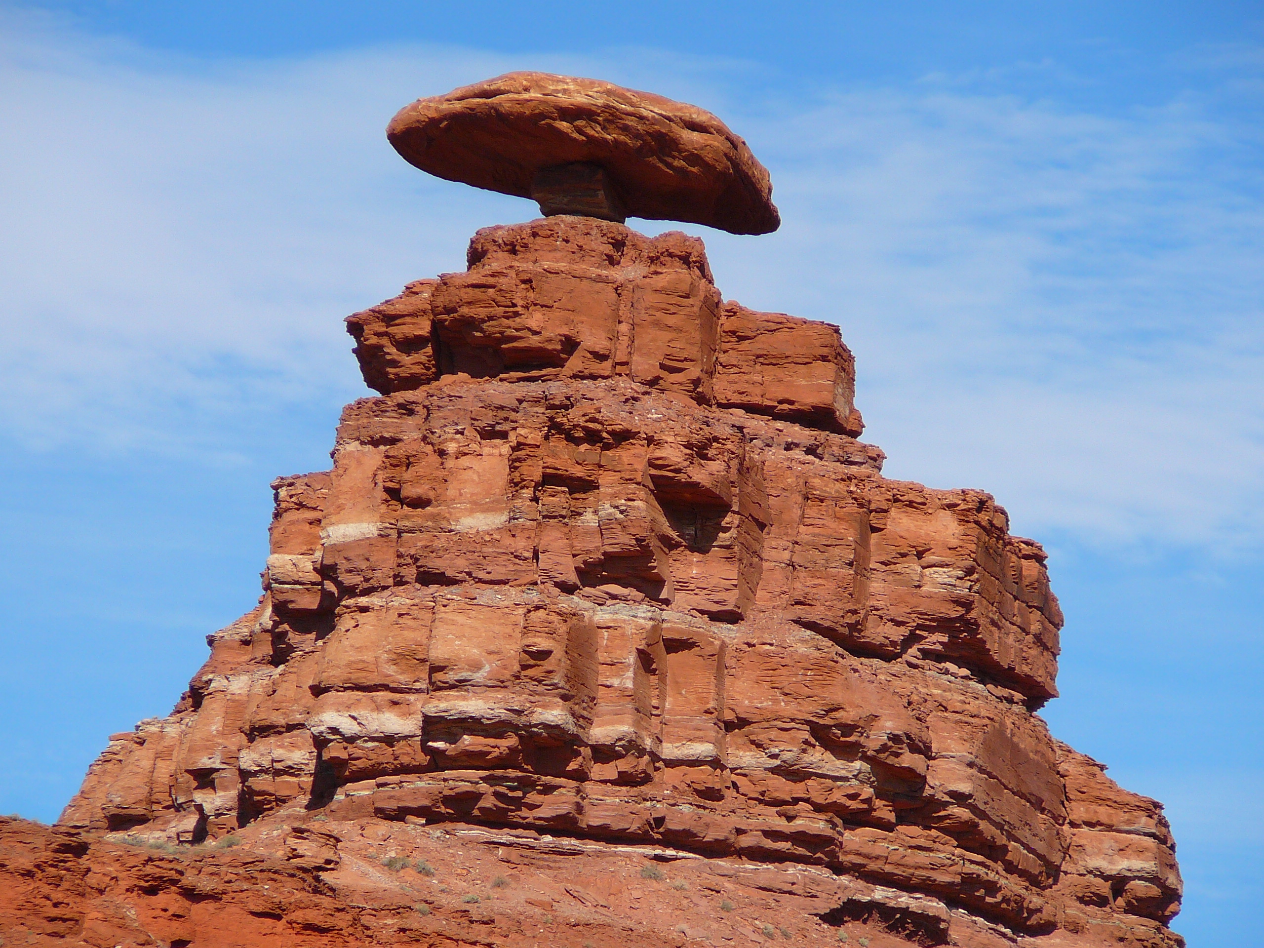
Mexican Hat is a census-designated place (CDP) in Utah in the United States. It is on the San Juan River on the northern edge of the Navajo Nation's borders in south-central San Juan County. The population was 31 in the 2010 census, a sharp decline from the previous two censuses. History The name "Mexican Hat" comes from a curiously sombrero-shaped rock outcropping on the northeast edge of town; the rock measures wide by . The "Hat" has two rock climbing routes ascending it. Mexican Hat has frequently been noted on lists of unusual place names. In 2016, the U.S. Route 163 bridge crossing the San Juan River on the south border of the town was renamed the " Jason R. Workman Memorial Bridge" after a member of SEAL Team Six who was killed in action in Afghanistan on August 6, 2011. Workman was a 1997 graduate of the nearby San Juan High School. Geography The CDP is on U.S. Route 163, just south of the junction with State Route 261, and is just outside the northern boundary ... [...More Info...] [...Related Items...] OR: [Wikipedia] [Google] [Baidu] |


