|
U.S. Route 61 In Iowa
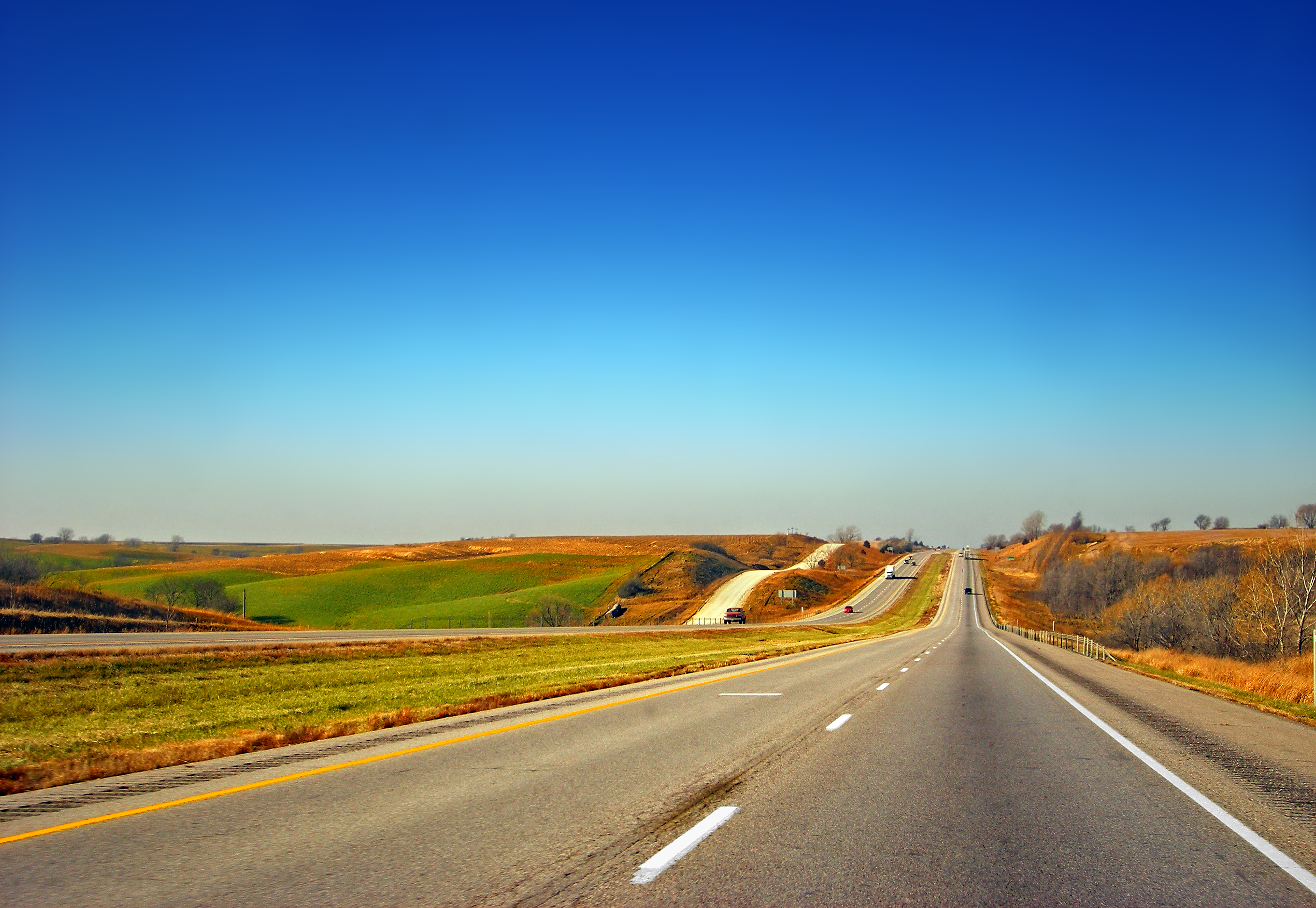
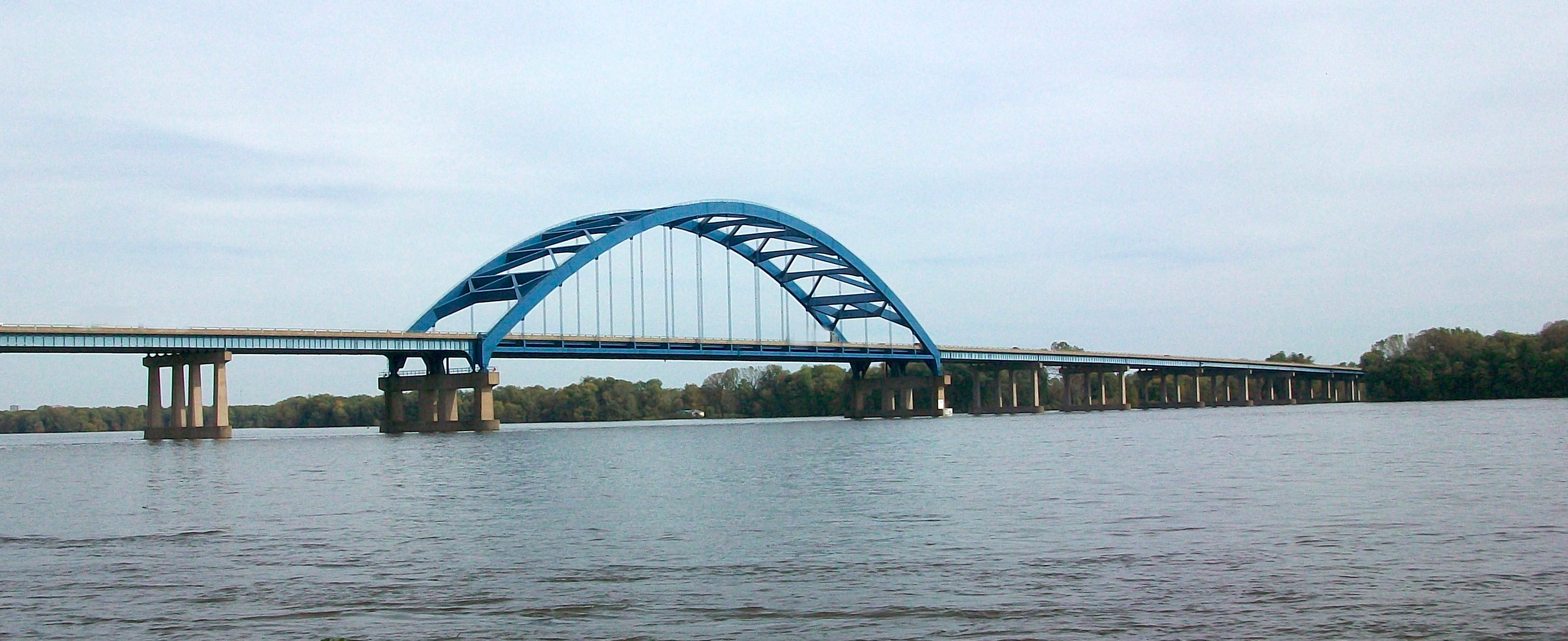
U.S. Highway 61 (US 61) is a United States Highway that serves eastern Iowa. It enters the state from Missouri near Keokuk with US 136. North of Keokuk, it is overlapped by US 218 for a few miles. It the follows the course of the Mississippi River past Montrose and Fort Madison. It meets US 34 at Burlington. It passes through Wapello and bypasses Muscatine and Blue Grass on its way toward Davenport. There, it follows Interstate 280 (I-280) and I-80 around the Quad Cities. North of Davenport, it follows a freeway north toward DeWitt where it meets US 30. The highway continues north through Maquoketa and reaches the Dubuque area. There it is joined by US 151 and briefly by US 52. The two highways enter the downtown area on an expressway. Due to the proximity of the Mississippi River and railroad tracks that lie between, the routes have an indirect junction with US 20. The two highways leave the state and enter Wisco ... [...More Info...] [...Related Items...] OR: [Wikipedia] [Google] [Baidu] |
Keokuk, Iowa
Keokuk is a city in and a county seat of Lee County, Iowa, United States, along with Fort Madison. It is Iowa's southernmost city. The population was 9,900 at the time of the 2020 census. The city is named after the Sauk chief Keokuk, who is thought to be buried in Rand Park. It is in the extreme southeast corner of Iowa, where the Des Moines River meets the Mississippi. It is at the junction of U.S. Routes 61, 136 and 218. Just across the rivers are the towns of Hamilton and Warsaw, Illinois, and Alexandria, Missouri. Keokuk, along with the city of Fort Madison, is a principal city of the Fort Madison-Keokuk micropolitan area, which includes all of Lee County, Iowa, Hancock County, Illinois and Clark County, Missouri. History Situated between the Des Moines and Mississippi rivers, the area that became Keokuk had access to a large trading area and was an ideal location for settlers. In 1820, the US Army prohibited soldiers stationed along the Mississippi River from havin ... [...More Info...] [...Related Items...] OR: [Wikipedia] [Google] [Baidu] |
Mississippi River
The Mississippi River is the second-longest river and chief river of the second-largest drainage system in North America, second only to the Hudson Bay drainage system. From its traditional source of Lake Itasca in northern Minnesota, it flows generally south for to the Mississippi River Delta in the Gulf of Mexico. With its many tributaries, the Mississippi's watershed drains all or parts of 32 U.S. states and two Canadian provinces between the Rocky and Appalachian mountains. The main stem is entirely within the United States; the total drainage basin is , of which only about one percent is in Canada. The Mississippi ranks as the thirteenth-largest river by discharge in the world. The river either borders or passes through the states of Minnesota, Wisconsin, Iowa, Illinois, Missouri, Kentucky, Tennessee, Arkansas, Mississippi, and Louisiana. Native Americans have lived along the Mississippi River and its tributaries for thousands of years. Most were hunter-ga ... [...More Info...] [...Related Items...] OR: [Wikipedia] [Google] [Baidu] |
Wisconsin
Wisconsin () is a state in the upper Midwestern United States. Wisconsin is the 25th-largest state by total area and the 20th-most populous. It is bordered by Minnesota to the west, Iowa to the southwest, Illinois to the south, Lake Michigan to the east, Michigan to the northeast, and Lake Superior to the north. The bulk of Wisconsin's population live in areas situated along the shores of Lake Michigan. The largest city, Milwaukee, anchors its largest metropolitan area, followed by Green Bay and Kenosha, the third- and fourth-most-populated Wisconsin cities respectively. The state capital, Madison, is currently the second-most-populated and fastest-growing city in the state. Wisconsin is divided into 72 counties and as of the 2020 census had a population of nearly 5.9 million. Wisconsin's geography is diverse, having been greatly impacted by glaciers during the Ice Age with the exception of the Driftless Area. The Northern Highland and Western Upland along wi ... [...More Info...] [...Related Items...] OR: [Wikipedia] [Google] [Baidu] |
Illinois
Illinois ( ) is a U.S. state, state in the Midwestern United States, Midwestern United States. Its largest metropolitan areas include the Chicago metropolitan area, and the Metro East section, of Greater St. Louis. Other smaller metropolitan areas include, Peoria metropolitan area, Illinois, Peoria and Rockford metropolitan area, Illinois, Rockford, as well Springfield, Illinois, Springfield, its capital. Of the fifty U.S. states, Illinois has the List of U.S. states and territories by GDP, fifth-largest gross domestic product (GDP), the List of U.S. states and territories by population, sixth-largest population, and the List of U.S. states and territories by area, 25th-largest land area. Illinois has a highly diverse Economy of Illinois, economy, with the global city of Chicago in the northeast, major industrial and agricultural productivity, agricultural hubs in the north and center, and natural resources such as coal, timber, and petroleum in the south. Owing to its centr ... [...More Info...] [...Related Items...] OR: [Wikipedia] [Google] [Baidu] |
Controlled-access Highway
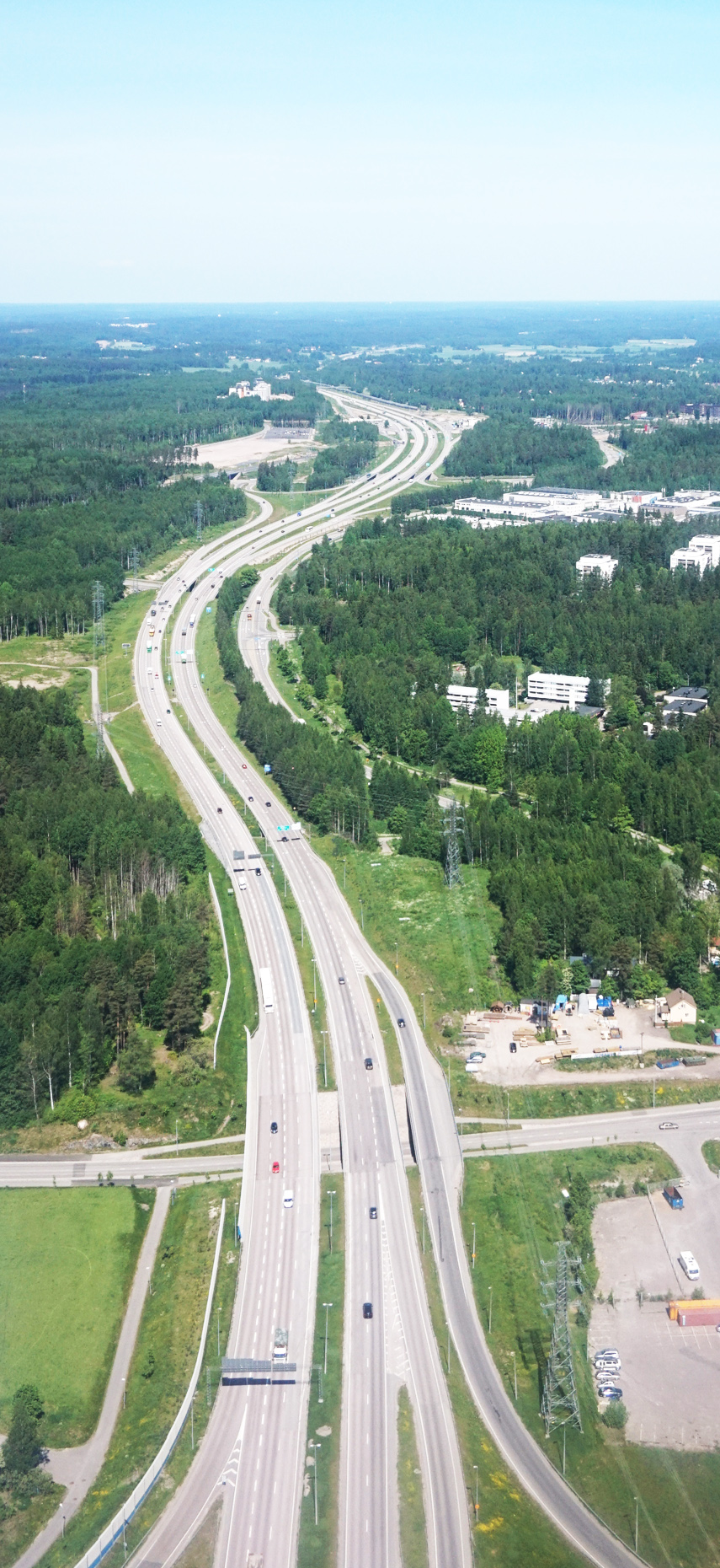
A controlled-access highway is a type of highway that has been designed for high-speed vehicular traffic, with all traffic flow—ingress and egress—regulated. Common English terms are freeway, motorway and expressway. Other similar terms include ''throughway'' and '' parkway''. Some of these may be limited-access highways, although this term can also refer to a class of highways with somewhat less isolation from other traffic. In countries following the Vienna convention, the motorway qualification implies that walking and parking are forbidden. A fully controlled-access highway provides an unhindered flow of traffic, with no traffic signals, intersections or property access. They are free of any at-grade crossings with other roads, railways, or pedestrian paths, which are instead carried by overpasses and underpasses. Entrances and exits to the highway are provided at interchanges by slip roads (ramps), which allow for speed changes between the highway and arterials ... [...More Info...] [...Related Items...] OR: [Wikipedia] [Google] [Baidu] |
Maquoketa, Iowa
Maquoketa () is a city in Jackson County, Iowa, United States. Located on the Maquoketa River, it is the county seat of Jackson County. U.S. Route 61 adjoins the city, which therefore hosts traffic between Dubuque and the Quad Cities. Iowa Highways 62 and 64 also pass through the city. Maquoketa Caves State Park is located a few miles northwest of Maquoketa. The population was 6,128 at the time of the 2020 census. History Maquoketa was originally called Springfield, and under the latter name was laid out in 1838. The present name, after the Maquoketa River, was adopted in 1844. The river's name derives from ''Maquaw-Autaw'', which means "Bear River" in Meskwaki. The Davenport and St. Paul Railroad was extended to Maquoketa in 1870 prompting growth. The county seat was transferred from Andrew to Maquoketa in 1873. Demographics 2010 census As of the census of 2010, there were 6,141 people, 2,655 households, and 1,612 families residing in the city. The population density w ... [...More Info...] [...Related Items...] OR: [Wikipedia] [Google] [Baidu] |
Freeway
A controlled-access highway is a type of highway that has been designed for high-speed vehicular traffic, with all traffic flow—ingress and egress—regulated. Common English terms are freeway, motorway and expressway. Other similar terms include '' throughway'' and '' parkway''. Some of these may be limited-access highways, although this term can also refer to a class of highways with somewhat less isolation from other traffic. In countries following the Vienna convention, the motorway qualification implies that walking and parking are forbidden. A fully controlled-access highway provides an unhindered flow of traffic, with no traffic signals, intersections or property access. They are free of any at-grade crossings with other roads, railways, or pedestrian paths, which are instead carried by overpasses and underpasses. Entrances and exits to the highway are provided at interchanges by slip roads (ramps), which allow for speed changes between the highway and arter ... [...More Info...] [...Related Items...] OR: [Wikipedia] [Google] [Baidu] |
Quad Cities
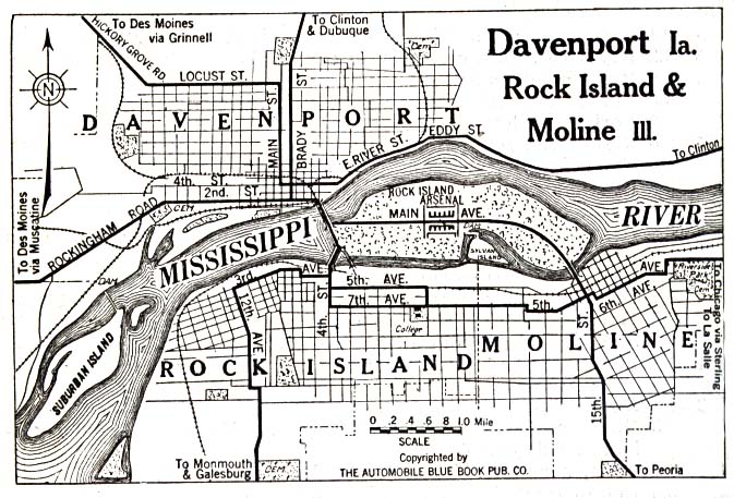
The Quad Cities is a region of cities (originally four, see History) in the U.S. states of Iowa and Illinois: Davenport and Bettendorf in southeastern Iowa, and Rock Island, Moline and East Moline in northwestern Illinois. These cities are the center of the Quad Cities metropolitan area, which as of 2013 had a population estimate of 383,781 and a Combined Statistical Area (CSA) population of 474,937, making it the 90th-largest CSA in the nation. History Early history Before European settlers came to inhabit the Quad Cities, the confluence of rivers had attracted many varying cultures of indigenous peoples, who used the waterways and riverbanks for their settlements for thousands of years. At the time of European encounter, it was a home and principal trading place of the Sauk and Fox tribes of Native Americans. Saukenuk was the principal village of the Sauk tribe and birthplace of its 19th-century war chief, Black Hawk. In 1832, Sauk chief Keokuk and General Winfield Sco ... [...More Info...] [...Related Items...] OR: [Wikipedia] [Google] [Baidu] |
Interstate 80 In Iowa
Interstate 80 (I-80) is a transcontinental Interstate Highway in the United States, stretching from San Francisco, California, to Teaneck, New Jersey. In Iowa, the highway travels west to east through the center of the state. It enters the state at the Missouri River in Council Bluffs and heads east through the southern Iowa drift plain. In the Des Moines metropolitan area, I-80 meets up with I-35 and the two routes bypass Des Moines together. On the northern side of Des Moines, the Interstates split and I-80 continues east. In eastern Iowa, it provides access to the University of Iowa in Iowa City. Northwest of the Quad Cities in Walcott is Iowa 80, the world's largest truck stop. I-80 passes along the northern edge of Davenport and Bettendorf and leaves Iowa via the Fred Schwengel Memorial Bridge over the Mississippi River into Illinois. Before I-80 was planned, the route between Council Bluffs and Davenport, which passed through Des Moines, was vital to the sta ... [...More Info...] [...Related Items...] OR: [Wikipedia] [Google] [Baidu] |
Interstate 280 (Iowa–Illinois)
Interstate 280 (I-280) is an auxiliary Interstate Highway that makes up the western and southern portions of the beltway around the Quad Cities of Illinois and Iowa. The freeway starts at Interstate 80 in Iowa, I-80 near Davenport, Iowa, and ends at Interstate 80 in Illinois, I-80 near Colona, Illinois; its eastern part runs concurrency (road), concurrent with Interstate 74 in Illinois, I-74 to return to I-80. I-280 forms the southern part of a circle around the Quad Cities as well as forming part of a bypass (along with I-80) for U.S. Route 61 in Iowa, US Route 61 (US 61) around Davenport. This road is long. Route description I-280 begins at a directional T interchange with Interstate 80 in Iowa, I-80 on the northwestern outskirts of Davenport. U.S. Route 6 in Iowa, US 6 and U.S. Route 61 in Iowa, US 61 join I-280 from opposite directions of I-80 at the interchange. It heads south along the western edge of Davenport. At the Kimberly Road exit, US ... [...More Info...] [...Related Items...] OR: [Wikipedia] [Google] [Baidu] |
Blue Grass, Iowa
Blue Grass is a city in Muscatine County, Iowa, Muscatine and Scott County, Iowa, Scott counties in the U.S. state of Iowa. The population was 1,666 as of 2020 United States Census, 2020. Most of Blue Grass is part of the Davenport, Iowa, Davenport–Moline, Illinois, Moline–Rock Island, Illinois, Rock Island, IA-Illinois, IL Quad Cities, Metropolitan Statistical Area, but the Muscatine County portion of the city is considered part of the Muscatine, Iowa, Muscatine Muscatine micropolitan area, Micropolitan Statistical Area. Geography According to the United States Census Bureau, the city has a total area of , all land. Demographics 2010 census As of the census of 2010, there were 1,452 people, 561 households, and 426 families living in the city. The population density was . There were 597 housing units at an average density of . The racial makeup of the city was 97.0% White (U.S. Census), White, 1.2% African American (U.S. Census), African American, 0.4% Native American (U.S ... [...More Info...] [...Related Items...] OR: [Wikipedia] [Google] [Baidu] |
Muscatine, Iowa
Muscatine ( ) is a city in Muscatine County, Iowa, United States. The population was 23,797 at the time of the 2020 census, an increase from 22,697 in 2000. The county seat of Muscatine County, it is located along the Mississippi River. The local business association states that the name Muscatine is not used by any other community. Muscatine is the principal city of the Muscatine Micropolitan Statistical Area (2010 census population 54,132) the estimate was 54,184, which includes all of Muscatine and Louisa counties, making it the 208th-largest micropolitan statistical area. History Muscatine began as a trading post founded by representatives of Colonel George Davenport in 1833. Muscatine was incorporated as Bloomington in 1839; the name was changed to reduce mail delivery confusion, as there were several Bloomingtons in the Midwest. Before that, Muscatine had also been known as "Newburg" and "Casey's Landing". The origin of the name ''Muscatine'' is debated. It may h ... [...More Info...] [...Related Items...] OR: [Wikipedia] [Google] [Baidu] |
_cropped.jpg)


