|
Tønsberg–Eidsfoss Line
The Tønsberg–Eidsfoss Line ( no, Tønsberg–Eidsfossbanen) or TEB is an abandoned railway between Eidsfoss and Tønsberg in Vestfold og Telemark county, Norway. In use from 21 October 1901 to 31 May 1938, the private railway connected the area of Hof to Tønsberg, the coast and the Vestfold Line of the Norwegian State Railways. The main purpose of the narrow gauge railway was to connect Eidsfos Verk to the mainline, although the railway also operated passenger trains. The line shares with the Holmestrand–Vittingfoss Line (HVB), the two which from 1934 were operated by the same company, Vestfold Privatbaner. Route The Tønsberg–Eidsfoss Line was long and ran from Tønsberg to Eidsfoss, entirely in the county of Vestfold. The line was narrow gauge and not electrified.Bjerke (1994): 226 The line ran through flat and easy terrain, with no tunnels or cuttings, and only three bridges. The steepest gradient was 16⅔ per mil, the smallest curve radius was . At Tønsberg t ... [...More Info...] [...Related Items...] OR: [Wikipedia] [Google] [Baidu] |
Railway
Rail transport (also known as train transport) is a means of transport that transfers passengers and goods on wheeled vehicles running on rails, which are incorporated in tracks. In contrast to road transport, where the vehicles run on a prepared flat surface, rail vehicles (rolling stock) are directionally guided by the tracks on which they run. Tracks usually consist of steel rails, installed on sleepers (ties) set in ballast, on which the rolling stock, usually fitted with metal wheels, moves. Other variations are also possible, such as "slab track", in which the rails are fastened to a concrete foundation resting on a prepared subsurface. Rolling stock in a rail transport system generally encounters lower frictional resistance than rubber-tyred road vehicles, so passenger and freight cars (carriages and wagons) can be coupled into longer trains. The operation is carried out by a railway company, providing transport between train stations or freight customer facilit ... [...More Info...] [...Related Items...] OR: [Wikipedia] [Google] [Baidu] |
Eikeren
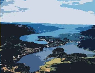
Eikeren or Eikern is a long and deep lake in the municipalities of Hof in the county of Vestfold og Telemark and Øvre Eiker in the county of Viken, Norway. It is the largest lake in Vestfold. At the eastern end of Vestfold is the village of Eidsfoss. In this area, water flows into Lake Eikeren from the Bergsvann, Vikevann, Haugestadvann and Hillestadvann. Lake Eikeren also receives waterflow from the Hakavikelva and Steinbruelva Rivers. In the western part, Eikeren comes together with the Fiskumvannet in a narrow, strait known as ''Sundet''. Here water flows into Lake Fiskum, located at the top of Eikernvassdraget. Through this strait, water flows at an average of 7 m3 per second. From Lake Fiskum, water runs out into Vestfosselva to Vestfossen. The river then go to Hokksund, where it splits into two river that both flow in the Drammen River. Eikeren, together with Fiskumvannet, is 20 km long, up to 2,5 km wide and up to 158 m deep. In 2005, Lake Eikeren was develop ... [...More Info...] [...Related Items...] OR: [Wikipedia] [Google] [Baidu] |
Svinevoll Station
Svinevoll is a small village in the local area of Våle in Vestfold, Norway Norway, officially the Kingdom of Norway, is a Nordic country in Northern Europe, the mainland territory of which comprises the western and northernmost portion of the Scandinavian Peninsula. The remote Arctic island of Jan Mayen and t .... Historically, Svinevoll was a transportation hub for materials like timber and farm goods such as milk and corn, thanks to the railroad that linked Svinevoll to other larger cities. Timber production continues to play a part in the Svinevoll economy. Villages in Vestfold og Telemark {{Vestfold-geo-stub ... [...More Info...] [...Related Items...] OR: [Wikipedia] [Google] [Baidu] |
Fossan Station
Fossan is a village in the municipality of Selbu in Trøndelag county, Norway. It is located about north of the municipal center of Mebonden, across the lake Selbusjøen. Fossan is located about halfway between the villages of Selbustrand Selbustrand is a village in the municipality of Selbu in Trøndelag county, Norway. It is located about across the lake Selbusjøen from the municipal center of Mebonden Mebonden or Mebond is the administrative centre of the municipality of S ... and Tømra. References Villages in Trøndelag Selbu {{Trøndelag-geo-stub ... [...More Info...] [...Related Items...] OR: [Wikipedia] [Google] [Baidu] |
Revetal Station
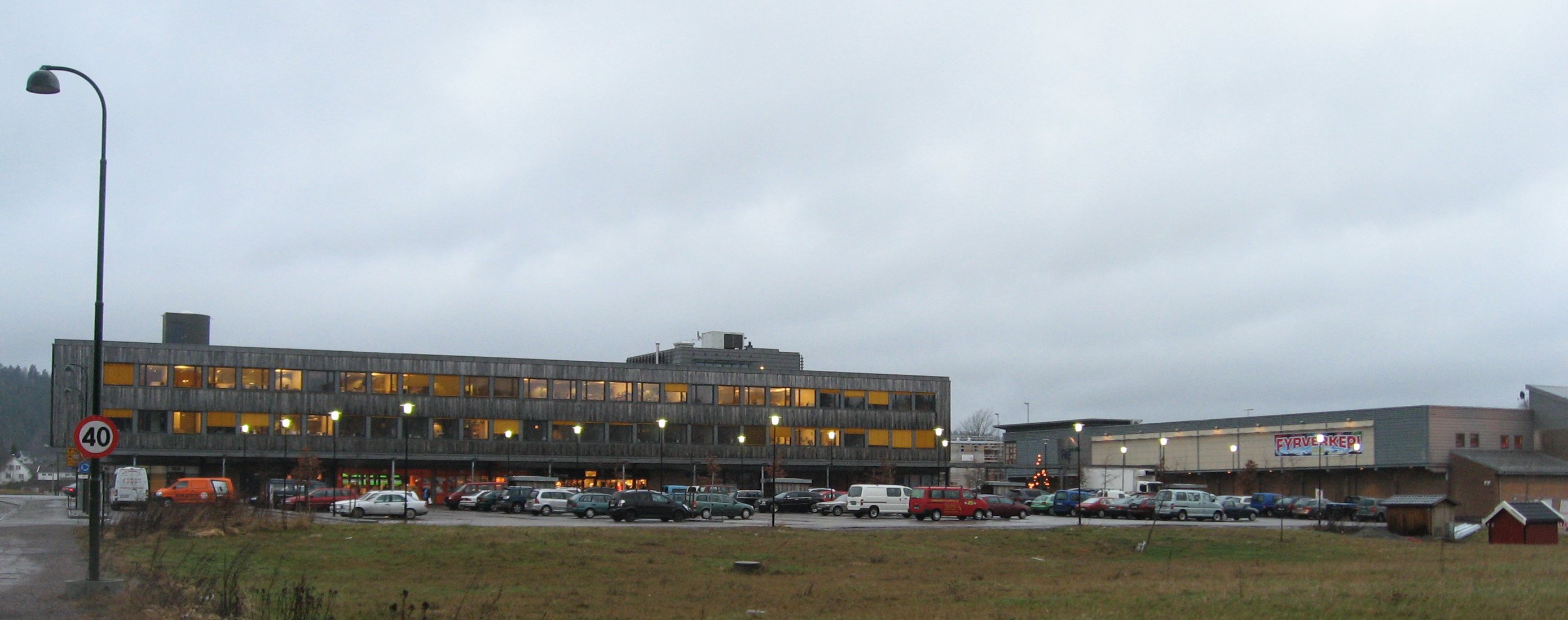
Revetal was the administrative centre of Re municipality, Norway, until the municipality was merged into Tønsberg. Together with the nearby housing estate A housing estate (or sometimes housing complex or housing development) is a group of homes and other buildings built together as a single development. The exact form may vary from country to country. Popular throughout the United States a ... Bergsåsen, it has a population ( SSB 2005) of 1,902. Revetal is a regional centre of trade and service, as well as some industry. Tønsberg Villages in Vestfold og Telemark {{Vestfold-geo-stub ... [...More Info...] [...Related Items...] OR: [Wikipedia] [Google] [Baidu] |
Ramnes Station
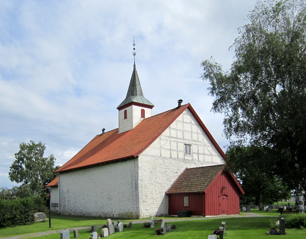
Ramnes is a village in Tønsberg municipality, and former municipality in Vestfold og Telemark county, Norway. The village of Ramnes was the administrative centre of the municipality. Summary The parish of ''Ramnæs'' was established as a municipality January 1, 1838 (see formannskapsdistrikt). According to the 1835 census the municipality had a population of 2,716. On 16 July 1873 an uninhabited part of Våle municipality was moved to Ramnes following a royal resolution. On January 1, 2002, Ramnes was merged with Våle to form the new municipality of Re, which on January 1, 2020, merged into Tønsberg. In 1996 Ramnes had a population of 3,579. The municipality and originally the parish was named after the old farm Ramnes (Old Norse ''Rafnnes''), since the first church was built there. The first element is ''rafn'' m 'raven A raven is any of several larger-bodied bird species of the genus ''Corvus''. These species do not form a single taxonomic group within the genus. ... [...More Info...] [...Related Items...] OR: [Wikipedia] [Google] [Baidu] |
Klopp Station
Klopp is a German surname, from Middle Low German klopper ‘clapper’, ‘bobbin’, ‘hammer’. Compare ChlodobertDictionary of American Family Names, Harper, 1956; Oxford University Press, 2003 Notable people with the surname include: * Jürgen Klopp (born 1967), German football player and manager *Nico Klopp (1894–1930), Luxembourgian painter *Onno Klopp (1822–1903), German historian * Paul Klopp (born 1957), politician in Ontario, Canada *Reid Klopp (born 1984), USA-born US Virgin Islands soccer player * Stan Klopp (1910–1980), Major League Baseball pitcher See also * Klopp Castle, in the Upper Middle Rhine Valley *Klop (other) Klop or KLOP may refer to: People with the surname * Kees Klop, Dutch professor of political ethics * Dirk Klop a Dutch army intelligence officer *Jan Willem Klop, Dutch mathematician Other uses * KLOP, a U.S. radio station *Mölkky Möl ... References {{Reflist German-language surnames ... [...More Info...] [...Related Items...] OR: [Wikipedia] [Google] [Baidu] |
Above Mean Sea Level
Height above mean sea level is a measure of the vertical distance (height, elevation or altitude) of a location in reference to a historic mean sea level taken as a vertical datum. In geodesy, it is formalized as ''orthometric heights''. The combination of unit of measurement and the physical quantity (height) is called "metres above mean sea level" in the metric system, while in United States customary and imperial units it would be called "feet above mean sea level". Mean sea levels are affected by climate change and other factors and change over time. For this and other reasons, recorded measurements of elevation above sea level at a reference time in history might differ from the actual elevation of a given location over sea level at a given moment. Uses Metres above sea level is the standard measurement of the elevation or altitude of: * Geographic locations such as towns, mountains and other landmarks. * The top of buildings and other structures. * Flying objects such ... [...More Info...] [...Related Items...] OR: [Wikipedia] [Google] [Baidu] |


