|
Tsurukaitu
Tsurukhaitu was a trading post along the Russo-Chinese border north of Peking during the eighteenth century. For background see Kyakhta trade. It was never successful because the Kyakhta route was easier than the long trek east from Lake Baikal. The trade route ran from Irkutsk east to Tsurukhaitu (about 7 weeks) and southeast through Tsitsihar and the Shanhai Pass to Peking, over 650 miles longer than the Kyakhta route. By the Treaty of Kyakhta (1727) all official trade was to be conducted through border posts near the future Kyakhta and Tsurukhaitu. Once the Treaty was completed Sava Vladislavich made elaborate plans for the two new posts, Tsurukhaitu being somewhat smaller. Previously trade in the area was from Nerchinsk to Tsitsihar. The site was chosen in 1728 by Temofei Burtsov, a commissar of the Argun silver mines(sicFoust,p83) and a Chinese officer. Construction did not begin until 1736 because of obstruction by a local official and the distance that lumber had to be car ... [...More Info...] [...Related Items...] OR: [Wikipedia] [Google] [Baidu] |
Kyakhta Trade
The Kyakhta Trade (russian: История кяхтинской торговли, ''Istorija kjahtinskoj torgovli'', zh, 恰克图商路) refers to the trade between Russia and China through the town of Kyakhta on the Mongolian border south of Lake Baikal from 1727. The trade was mostly Siberian furs for Chinese cotton, silk, tobacco and tea. The earlier Nerchensk trade 1689–1722 Russia and China came into contact when in 1582–1639 Russians made themselves masters of the Siberian forests. The border in "Manchuria" was delineated by the Treaty of Nerchinsk in 1689. This treaty said nothing about Mongolia since this area was not yet under Chinese/Manchu control. The fifth article of the treaty allowed trade with proper documents but was otherwise vague. Russian merchants began organizing caravans from Nerchinsk to Peking, the round trip usually taking 10–12 months. In 1692–93 Eberhard Isbrand Ides went on a commercial-diplomatic mission to Peking. He left Peking in February ... [...More Info...] [...Related Items...] OR: [Wikipedia] [Google] [Baidu] |
Treaty Of Kyakhta
The Treaty of Kyakhta (or Kiakhta),, ; , Xiao'erjing: بُلِيًاصِٿِ\ٿِاكْتُ تِيَوْيُؤ; mn, Хиагтын гэрээ, Hiagtiin geree, along with the Treaty of Nerchinsk (1689), regulated the relations between Imperial Russia and the Qing Empire of China until the mid-19th century. It was signed by Tulišen and Count Sava Lukich Raguzinskii-Vladislavich at the border city of Kyakhta on 23 August 1727. Results *Diplomatic and trade relations were established that lasted until the mid-19 century. *It established the northern border of Mongolia (what was then part of the Qing-Russian border). *The caravan trade from Kyakhta opened up (Russian furs for Chinese tea). *Agreement with Russia helped China expand westward and annex Xinjiang. Qing subjects are referred to as those from "Dulimbai gurun" in Manchu in the Treaty. Background By the 1640s Russian adventurers had taken control of the forested area north of Mongolia and Manchuria. From 1644, the ... [...More Info...] [...Related Items...] OR: [Wikipedia] [Google] [Baidu] |
Tsitsihar
Qiqihar () is the second-largest city in the Heilongjiang province of China, in the west central part of the province. The built-up (or metro) area made up of Longsha, Tiefeng and Jianhua districts had 959,787 inhabitants, while the total population of the prefecture-level city was shrinking to 4,067,489 as of the 2020 census (5,367,003 as of 2010). These are mainly Han Chinese, though the city is also home to thirty-four minorities including Manchus, Daur, and Mongols. Close to Qiqihar are numerous wetlands and the Zhalong Nature Reserve, famous in China for being home to numerous red-crowned cranes. Etymology The Khitan people settled in the region under the Liao dynasty. The word "Qiqi" is a reference to a local river; the word "hari" refers to defense; literally, it means "defense of Qiqi". The name Qiqihar comes from Manchu (cicihar) History Early history Qiqihar is one of the oldest cities in the northeast of China. The region was originally settled by nomadic Daur ... [...More Info...] [...Related Items...] OR: [Wikipedia] [Google] [Baidu] |
Shanhai Pass
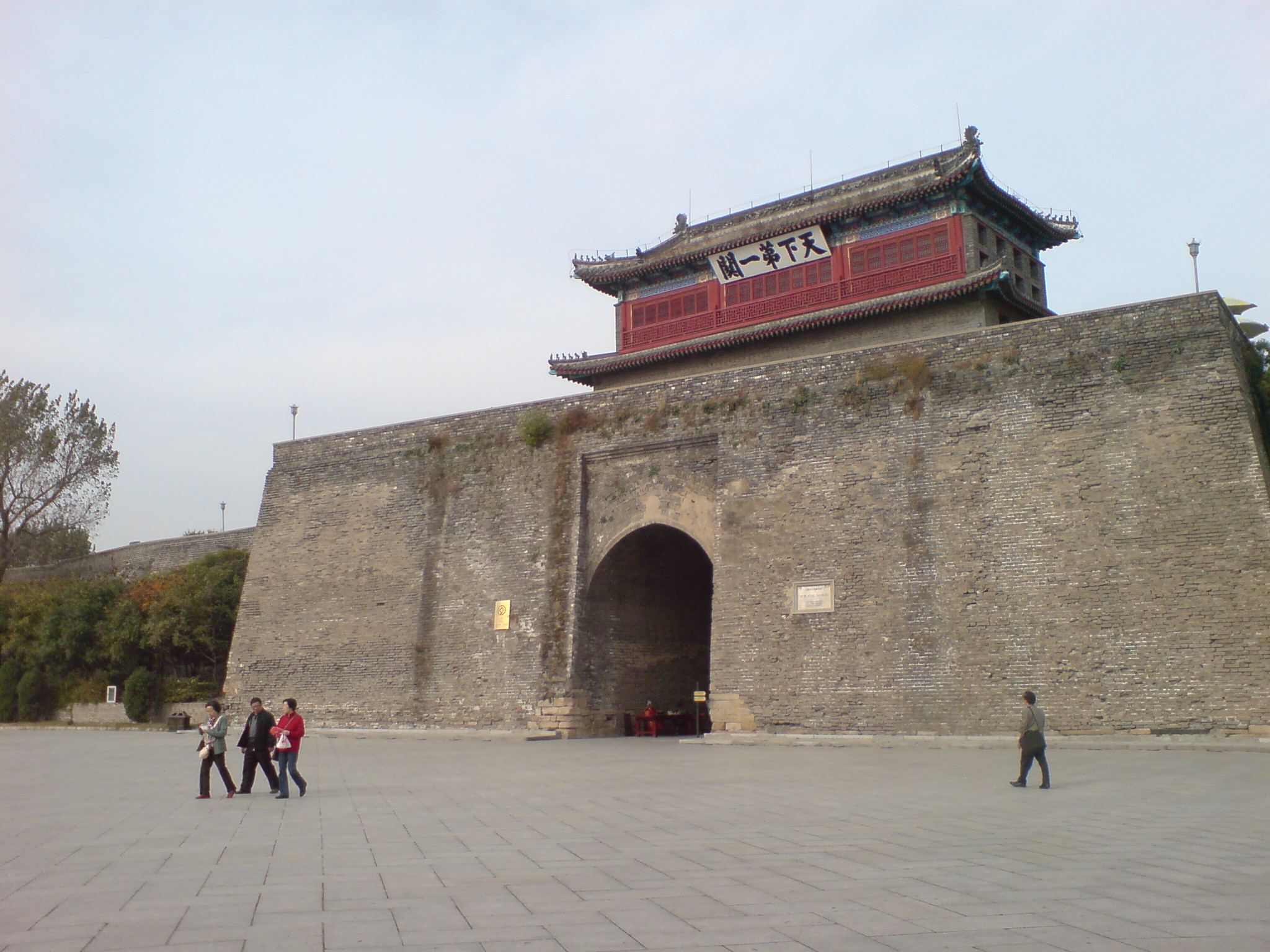
Shanhai Pass or Shanhaiguan () is one of the major passes in the Great Wall of China, being the easternmost stronghold along the Ming Great Wall, and commands the narrowest choke point in the Liaoxi Corridor. It is located in Shanhaiguan District, Qinhuangdao, Hebei province, on the east bank of the Shi River between the Yan Mountains and the Liaodong Bay coast. In 1961, the pass was selected as the Major Historical and Cultural Site Protected at the National Level by the State Council of China, and it was listed as part of the Great Wall as a World Heritage Site by the UNESCO in 1987. The pass is a popular tourist destination at the eastern terminal point of the Ming dynasty Great Wall. The location where the wall meets the Bohai Sea is nicknamed "Old Dragon's Head" (老龙头). The pass lies nearly east of Beijing and is linked via the Jingshen Expressway that runs northeastward to Shenyang. Throughout Chinese history, the pass served as a frontline defensive outpost ag ... [...More Info...] [...Related Items...] OR: [Wikipedia] [Google] [Baidu] |
Kyakhta
Kyakhta (russian: Кя́хта, ; bua, Хяагта, Khiaagta, ; mn, Хиагт, Hiagt, ) is a town and the administrative center of Kyakhtinsky District in the Republic of Buryatia, Russia, located on the Kyakhta River near the Mongolia–Russia border. The town stands directly opposite the Mongolian border town of Altanbulag. Population: From 1727 it was the border crossing for the Kyakhta trade between Russia and China. Etymology The Buryat name means ''place covered with couch grass,'' and is derived from Mongolian word , meaning ''couch grass''. Geography The region where Kyakhta stands is advantageous for Russo-Chinese trade. The Siberian River Routes connect the fur-bearing lands of Siberia to Lake Baikal. From there, the Selenga River valley is the natural route through the mountains southeast of Lake Baikal out onto the plains of Mongolia. History Kyakhta was founded in 1727 soon after the Treaty of Kyakhta was negotiated just north at Selenginsk. It was the star ... [...More Info...] [...Related Items...] OR: [Wikipedia] [Google] [Baidu] |
Sava Vladislavich
Count Sava Lukich Vladislavich-Raguzinsky (russian: Са́вва Луки́ч Рагузи́нский-Владиславич; sr, Сава Владиславић Рагузински, ''Sava Vladislavić Raguzinski''; 16 January 1669 – 17 June 1738) was a Serbian merchant-adventurer and diplomat in the employ of Peter the Great. He conducted important diplomatic negotiations in Constantinople, Rome and Beijing. His most lasting achievement was the Treaty of Kiakhta, which regulated relations between the Russian Empire and the Qing Empire until the mid-19th century. He penned a number of pamphlets, monographs, treaties and letters concerned with liberating the lands of the Slavs, then occupied by the Ottoman Empire and the forces of Leopold I. Background Sava, named after Saint Sava, was born in 1669, in the village of Jasenik near Gacko, Bosnia Eyalet, Ottoman Empire. His father, Luka Vladislavić, was a Serb landlord. The family was driven out from Gacko by the local Turks ... [...More Info...] [...Related Items...] OR: [Wikipedia] [Google] [Baidu] |
Nerchinsk
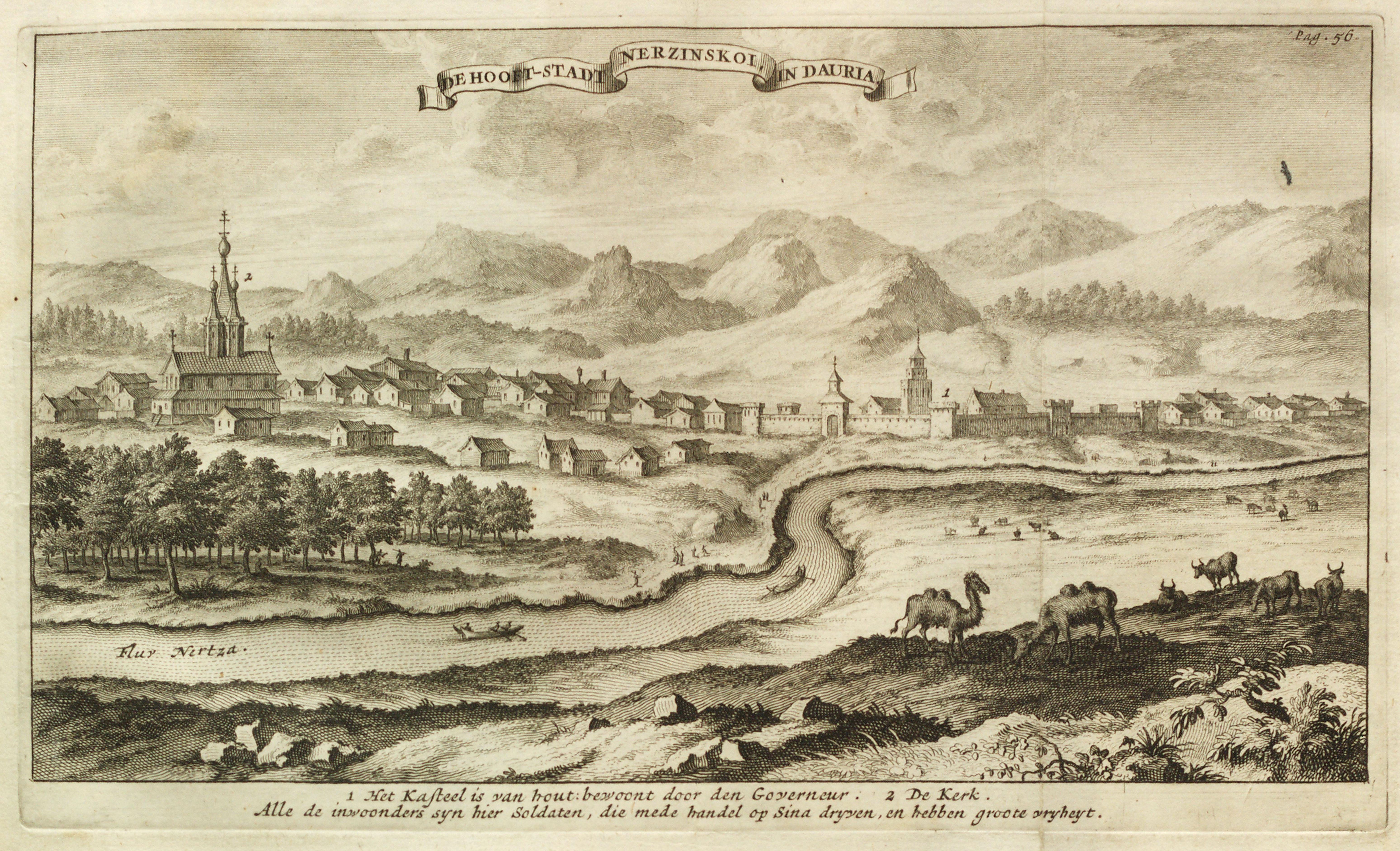
Nerchinsk ( rus, Не́рчинск; bua, Нэршүү, ''Nershüü''; mn, Нэрчүү, ''Nerchüü''; mnc, m=, v=Nibcu, a=Nibqu; zh, t=涅尔琴斯克(尼布楚), p=Niè'ěrqínsīkè (Níbùchǔ)) is a town and the administrative center of Nerchinsky District in Zabaykalsky Krai, Russia, located on the left bank of the Nercha River, above its confluence with the Shilka River, east of Lake Baikal, about west of the Chinese border, and east of Chita, the administrative center of the krai. Population: 6,713 (1897). Town name in other languages Two important treaties between the Russian Empire and Manchu China mention Nerchinsk: the 1689 Treaty of Nerchinsk and the 1727 Treaty of Kyakhta. Non-Russian comments on these treaties or on the history of the town may mention other names: *Latin: Nipchou or Nipcha (however, the Treaty of Kyakhta called the town Nipkoa) *Manchu: Nibcu hoton *Chinese: 尼布楚; Pinyin: Níbùchǔ History The fort of Nerchinsk dates ... [...More Info...] [...Related Items...] OR: [Wikipedia] [Google] [Baidu] |
Argun River (Asia)
The Argun or Ergune (russian: Аргунь, bua, Эргэнэ гол, ''Ergene gol''; mn, Эргүнэ мөрөн, ''Ergüne mörön''; evn, Ергэне ''Yergenye'', zh, 额尔古纳河 ''Éěrgǔnà hé'') is a long river that forms part of the eastern China–Russia border, together with the Amur (Heilong Jiang). Its upper reaches are known as Hailar River () in China. The Argun marks the border (established by the Treaty of Nerchinsk in 1689) between Russia and China for about , until it meets the Amur. Name The name derives from Buryat ''Urgengol'' 'wide river' (''urgen'' 'wide' + ''gol'' 'river'). Mongolian word "ergün" (in Traditional Mongolian alphabet) or "örgön" (in modern Mongolian) means "wide". Geography The river flows from the Western slope of the Greater Xing'an Range in China's Inner Mongolia, and forms the Chinese side of the two rivers that flow together to produce the Amur (Heilong). Its confluence with the Shilka at Ust-Strelka on the Russ ... [...More Info...] [...Related Items...] OR: [Wikipedia] [Google] [Baidu] |
Zabaykalsky Krai
Zabaykalsky Krai ( rus, Забайкальский край, r=Zabaikal'skii krai, p=zəbɐjˈkalʲskʲɪj kraj, lit. "Transbaikal krai"; bua, Yбэр Байгалай хизаар, Uber Baigalai Xizaar) is a federal subject of Russia (a krai) that was created on March 1, 2008 as a result of a merger of Chita Oblast and Agin-Buryat Autonomous Okrug, after a referendum held on the issue on March 11, 2007. The Krai is now part of the Russian Far East as of November 2018 in accordance with a decree issued by Russian President Vladimir Putin. The administrative center of the krai is located in the city of Chita. As of the 2010 Census, the population was 1,107,107. Geography The krai is located within the historical region of Transbaikalia (Dauria) and has extensive international borders with China (Inner Mongolia and Heilongjiang) (998 km) and Mongolia (Dornod Province, Khentii Province and Selenge Province) (868 km); its internal borders are with Irkutsk and Am ... [...More Info...] [...Related Items...] OR: [Wikipedia] [Google] [Baidu] |

_(14572099319).jpg)
.jpg)


