|
Trim Road
Trim Road ( Ottawa Road #57) is an arterial road in the eastern end of Orléans, Ontario, a suburb of Ottawa. It serves as the only road access to Petrie Island and its public beach in the Ottawa River. From Petrie Island, Trim runs south through the eastern suburban areas of Orleans and then south into rural former Cumberland Township. It travels through the communitiy of Navan before ending at Perreault Road. It has a total length of and connects with Ottawa Regional Road 174 that connects with Highway 417 further to the west. Its status as a numbered road in Ottawa's city road status ends at Innes Road on the south side of Orleans. Two OC Transpo public transit bus stations are served along Trim road, with Trim station to the north, and Millennium station to the south. Route 39 serves Trim road from the junction with Ottawa Regional Road 174, south to Millennium Boulevard, serving businesses at Taylor Creek Drive and the communities of Fallingbrook, Cardinal Creek and ... [...More Info...] [...Related Items...] OR: [Wikipedia] [Google] [Baidu] |
List Of Numbered Routes In Ottawa
The city of Ottawa, Ontario, Canada maintains many regional roads, like most counties and regional municipalities in Southern and Eastern Ontario. The regional road system was created by the Regional Municipality of Ottawa-Carleton (RMOC) and managed by the RMOC until 2001. In 2001, when all six cities, four townships, and one village within the former RMOC amalgamated to form the new city of Ottawa, responsibility of the regional road system was transferred to the new city of Ottawa, and they became today's “Ottawa roads”. In general, even-numbered routes run east-west and odd-numbered routes run north-south. Also, the lowest-numbered routes are generally found in the southern part of the city for even (east-west) numbered routes, and in the western part for odd (north-south) numbered routes. This pattern, however, has many exceptions. As more roads were added to the numbered-road system, the availability of numbers decreased and consequently, the numbering pattern had to ... [...More Info...] [...Related Items...] OR: [Wikipedia] [Google] [Baidu] |
Innes Road
Innes Road ( Ottawa Road #30) is one of the most important corridors in the east end of the City of Ottawa, Ontario, Canada, running through the former cities of Gloucester and Cumberland. It is the main route serving Blackburn Hamlet and south Orléans, as well as several industrial and commercial areas in east Ottawa. Features The western section from St. Laurent Boulevard to Cyrville Road is a four-lane principal arterial road that primarily runs through industrial and light commercial areas with partial access control, although with an speed limit. Some residential frontage and considerable commercial frontage exists in the fairly congested section east of Highway 417, where Innes widens to six lanes up to Blackburn Hamlet and then becomes a divided four-lane road. The Canadian Conservation Institute is located in this section. Innes splits in Blackburn Hamlet; The original alignment runs through the community as an undivided road with a lower speed limit of . The long Bl ... [...More Info...] [...Related Items...] OR: [Wikipedia] [Google] [Baidu] |
County Meath
County Meath (; gle, Contae na Mí or simply ) is a county in the Eastern and Midland Region of Ireland, within the province of Leinster. It is bordered by Dublin to the southeast, Louth to the northeast, Kildare to the south, Offaly to the southwest, Westmeath to the west, Cavan to the northwest, and Monaghan to the north. To the east, Meath also borders the Irish Sea along a narrow strip between the rivers Boyne and Delvin, giving it the second shortest coastline of any county. Meath County Council is the local authority for the county. Meath is the 14th-largest of Ireland's 32 traditional counties by land area, and the 8th-most populous, with a total population of 220,296 according to the 2022 census. The county town and largest settlement in Meath is Navan, located in the centre of the county along the River Boyne. Other towns in the county include Trim, Kells, Laytown, Ashbourne, Dunboyne, Slane and Bettystown. Colloquially known as "The Royal County", the historic ... [...More Info...] [...Related Items...] OR: [Wikipedia] [Google] [Baidu] |
Navan
Navan ( ; , meaning "the Cave") is the county town of County Meath, Republic of Ireland, Ireland. In 2016, it had a population of 30,173, making it the List of urban areas in the Republic of Ireland by population, tenth largest settlement in Republic of Ireland, Ireland. It is at the confluence of the River Boyne and Leinster Blackwater, Blackwater, around 50 km northwest of Dublin. History and name Navan is a Norman foundation: Hugh de Lacy, Lord of Meath, Hugh de Lacy, who was granted the Lordship of Meath in 1172, awarded the Baron of Navan, Barony of Navan to one of his knights, Jocelyn de Angulo, who built a fort there, from which the town developed. Inside the town walls, Navan consisted of three streets. These were Trimgate Street, Watergate St. and Ludlow St. (which was once called Dublingate St.). The orientation of the three original streets remains from the Middle Ages but the buildings date from the Victorian and Edwardian periods. The town's Post Office o ... [...More Info...] [...Related Items...] OR: [Wikipedia] [Google] [Baidu] |
Trim, County Meath
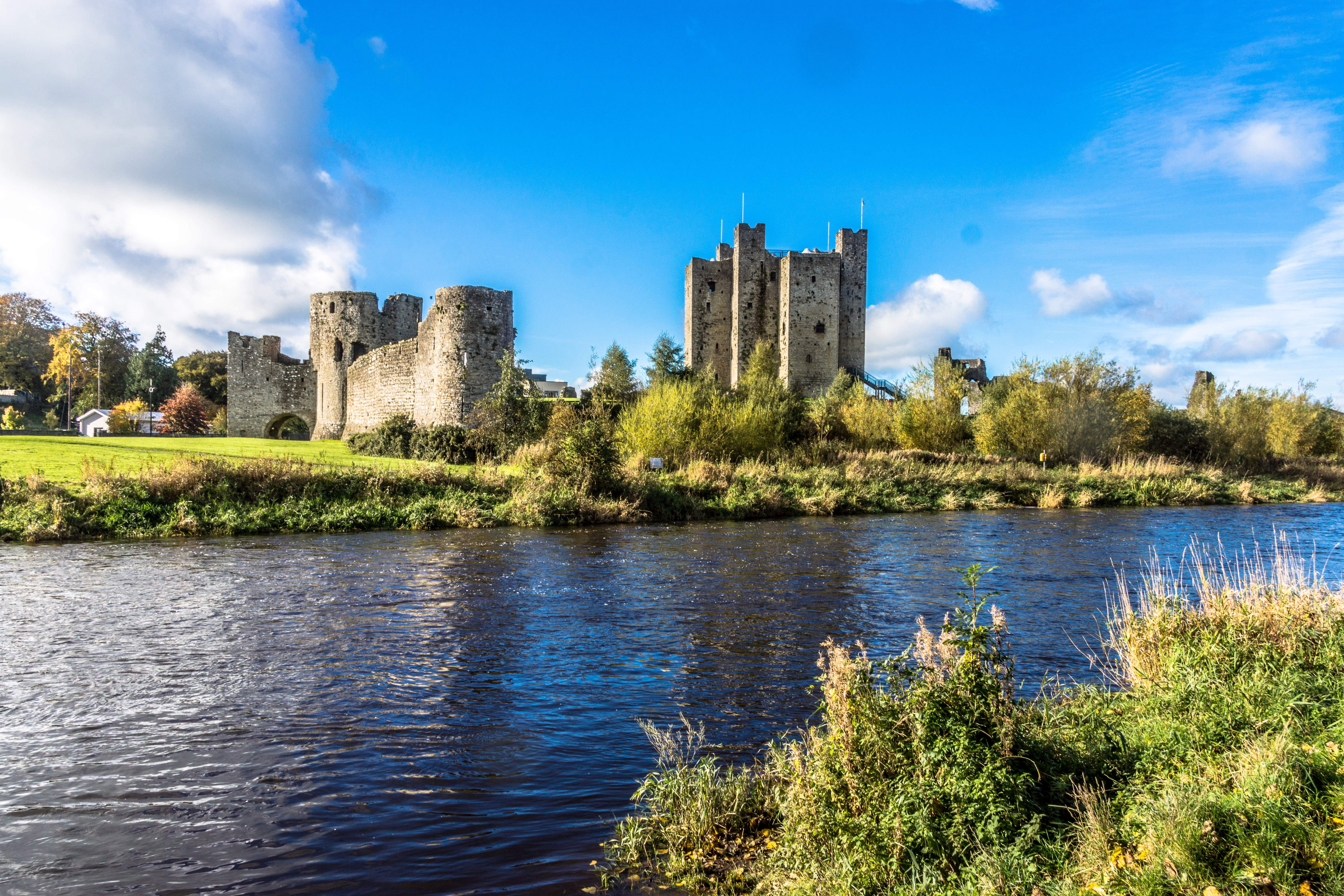
Trim () is a town in County Meath, Ireland. It is situated on the River Boyne and has a population of 9,194. The town is noted for Trim Castle – the largest Norman castle in Ireland. One of the two cathedrals of the United Dioceses of Meath and Kildare — St Patrick's cathedral — is located north of the river. Trim won the Irish Tidy Towns Competition in 1972, 1984, 2014 and 2022, and was the "joint" winner with Ballyconnell in 1974. Trim was historically the county town of Meath, but this title was passed on in 1898 to the larger, neighbouring town of Navan. History Early history At an early date, a monastery was founded at Trim, which lay within the petty kingdom ('' tuath'') of the Cenél Lóegairi. It is traditionally thought to have been founded by St. Patrick and left in the care of its patron saint Lommán, also locally known as Loman, who flourished sometime between the 5th and early 6th centuries.Stalmans and Charles-Edwards, "Meath, saints of (act. ''c''.4 ... [...More Info...] [...Related Items...] OR: [Wikipedia] [Google] [Baidu] |
Avalon (Ottawa)
Avalon is a neighbourhood located in Orleans, a suburb in the east end of Ottawa, Ontario, Canada. Prior to amalgamation in 2001, the area was in the City of Cumberland. This neighbourhood was non-existent until the late 1990s when the urban sprawl intensified in the east end. Avalon quickly developed in the area is now bordered to the north by Innes Road, to the east by a line following (from north to south) Portobello Boulevard to Brian Coburn Boulevard to Trim Road, the west by Mer Bleue Road and to the south by Wall Road. According to the Canada 2011 Census, this area had a population of 12,455. The development of the area slowed when the developer had to return to previously built houses to fix foundations. Some have criticized the builder for building on swampland without proper engineering. At the intersection of Innes and Tenth Line, a large commercial zone with several department and big-box stores developed in conjunction of the residential boom of Avalon. This new dis ... [...More Info...] [...Related Items...] OR: [Wikipedia] [Google] [Baidu] |
Bus Terminus
A bus terminus is a designated place where a bus or coach starts or ends its scheduled route. The terminus is the designated place that a timetable is timed from. Termini can be located at bus stations, interchanges, bus garages or bus stops. Termini can both start and end at the same place, or may be in different locations for starting and finishing a route. Termini may or may not coincide with the use of bus stands. Size of termini For operational reasons and passenger routes to be their bus garage, where the legal terminus is just outside or nearby. For the purposes of integration of different public transport modes, termini may also be located as part of a transportation hub or 'interchange' or alongside other major amenities such as universities, shopping centres or hospitals. Minor termini may be a bus stop or loop in a residential street, used by very few or just one. Operational considerations While it may be of prime importance to the passenger, the location of a term ... [...More Info...] [...Related Items...] OR: [Wikipedia] [Google] [Baidu] |
Millennium Station (Ottawa)
Millennium station is a current rapid-transit stop and a future OC Transpo Transitway Station located in the Orleans area of Ottawa, Ontario, Canada, just south of the intersection of Innes Road and Trim Road. Officially opening in September 2007, it is the easternmost station in Ottawa's bus rapid transit system and it serves as the eastern terminus of routes 25, 30 and 39. It is also located just southwest of École secondaire Gisèle-Lalonde. The station first appeared in OC Transpo's route network as part of their September 2, 2007 service change. In addition to the new stop, the City of Ottawa approved the construction of a park and ride facility and bus station, which officially opened in 2009. Millennium is expected to be the eastern terminus of a future Transitway segment that would connect to Blair station by 2031. Service The following routes serve Millennium: Notes * Route doesn't serve this station during the late evenings on weekdays or in the evenings on ... [...More Info...] [...Related Items...] OR: [Wikipedia] [Google] [Baidu] |
Trim Station
Trim is a transitway station in the east end of Ottawa, Ontario, located near Trim Road and Regional Road 174 (former Highway 17). A Natrel factory is located near this station. Trim station once served as the eastern weekday terminus for the OC Transpo Transitway route 95, but is now served every day of the week, with Rapid Route 39 travelling between Blair and Millennium stations. Before October 2019, there was no rapid weekend service at the station, as it was mostly used a stop for servicing commuters who were using the Park and Ride facility that contains about 1,089 parking spaces. There are plans to possibly add a transitway extension into residential neighbourhoods along Innes Road and Trim Road, while it remains mostly rural to the east towards Cumberland Village and Rockland. During the summer, special service to nearby Petrie Island Beach is provided on weekends. This station will serve as the eastern terminus for the O-Train Confederation Line The Confederatio ... [...More Info...] [...Related Items...] OR: [Wikipedia] [Google] [Baidu] |
OC Transpo
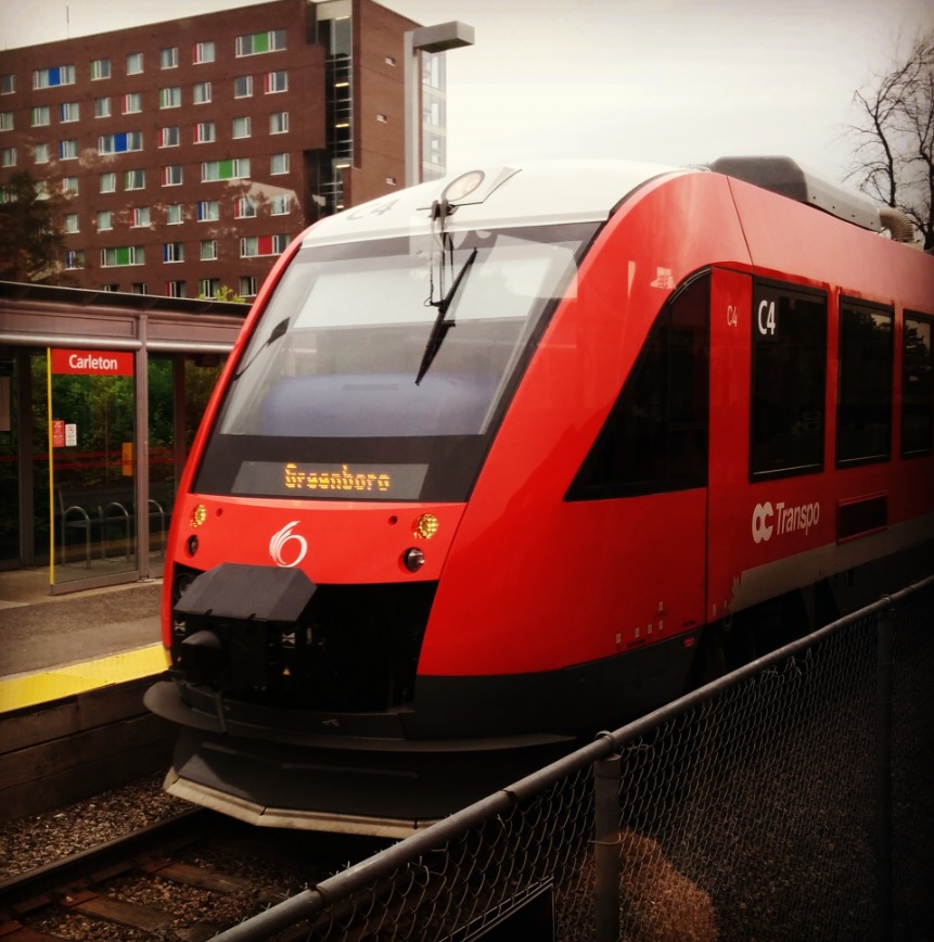
OC Transpo, officially the Ottawa-Carleton Regional Transit Commission, is the public transit agency for the city of Ottawa, Ontario, Canada. It operates an integrated hub-and-spoke system including light metro, bus rapid transit, conventional bus routes, and Para Transpo door-to-door accessible bus service. In , the system had a ridership of . OC Transpo's O-Train is a multimodal light metro system consisting of two lines: the east–west Confederation Line (Line 1), a metro system operating medium capacity electric trains along a partially underground route that cuts through the downtown; and the north–south diesel-powered Trillium Line (Line 2), originally an system from 2001 to 2020, which will be expanded to upon the scheduled reopening in 2023. The Airport Link (Line 4), a system sharing track with the Trillium Line but operating as a distinct segment, is also scheduled to open in 2023. The agency's bus system has 170 routes and 43 bus rapid transit (BRT) station ... [...More Info...] [...Related Items...] OR: [Wikipedia] [Google] [Baidu] |
Highway 417 (Ontario)
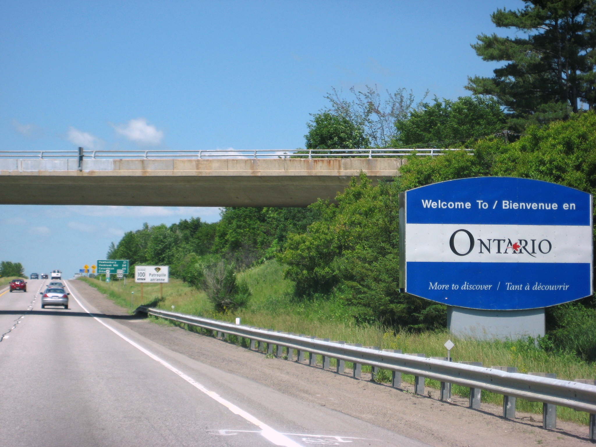
King's Highway 417, commonly referred to as Highway 417 and as the Queensway through Ottawa, is a 400-series highway in the Canadian province of Ontario. It connects Ottawa with Montreal via A-40, and is the backbone of the highway system in the National Capital Region. Within Ottawa, it forms part of the Queensway west from Highway 7 to Ottawa Road 174. Highway 417 extends from the Quebec border, near Hawkesbury, to Arnprior, where it continues westward as Highway 17. Aside from the urban section through Ottawa, Highway 417 passes through farmland that dominates much of the fertile Ottawa Valley. Within Ottawa, the Queensway was built as part of a grand plan for the city between 1957 and 1966, and later reconstructed to its present form throughout the 1980s. The eastern section, from Gloucester to the Quebec border, opened in 1975 in preparation for the 1976 Montreal Olympics. Sections west of Ottawa have been under construction since the mid-1970s, ... [...More Info...] [...Related Items...] OR: [Wikipedia] [Google] [Baidu] |
Arterial Road
An arterial road or arterial thoroughfare is a high-capacity urban road that sits below freeways/motorways on the road hierarchy in terms of traffic flow and speed. The primary function of an arterial road is to deliver traffic from collector roads to freeways or expressways, and between urban centres at the highest level of service possible. As such, many arteries are limited-access roads, or feature restrictions on private access. Because of their relatively high accessibility, many major roads face large amounts of land use and urban development, making them significant urban places. In traffic engineering hierarchy, an arterial road delivers traffic between collector roads and freeways. For new arterial roads, intersections are often reduced to increase traffic flow. In California, arterial roads are usually spaced every half mile, and have intersecting collector(s) and streets. Some arterial roads, characterized by a small fraction of intersections and driveways compared to ... [...More Info...] [...Related Items...] OR: [Wikipedia] [Google] [Baidu] |


