|
Trapp, Carmarthenshire
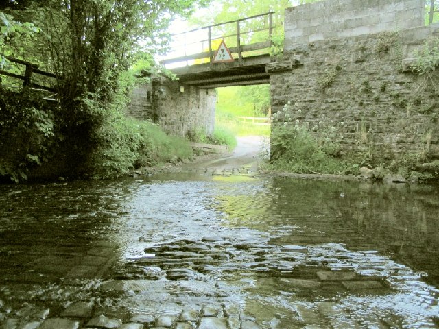
Trap (or Trapp in English spelling) is a hamlet in the county of Carmarthenshire in southwest Wales, located on the western border of the Brecon Beacons National Park, around four miles southeast of the town of Llandeilo. It is unclear whether the name – which often appears as Trapp on maps, although the spelling with a single ''p'' is generally preferred locally – refers to a fish-trap, a water-trap ( mill-leat), or, given that the village is in Cwm Lladron ("robbers' valley"), an ambush point. The Afon Cennen flows through the village and is bridged there by the road from Ffairfach to Drefach. One mile to the east, and visible from the village, are the remains of Carreg Cennen Castle, whilst to the south is the rocky Carreg Dwfn, the westernmost hill of the national park. The remains of Capel Dewi, a medieval chapel, are situated to the east of the road south of the village. Amenities There is a public house in the village, though both the post office and the former village ... [...More Info...] [...Related Items...] OR: [Wikipedia] [Google] [Baidu] |
Carmarthenshire
Carmarthenshire ( cy, Sir Gaerfyrddin; or informally ') is a county in the south-west of Wales. The three largest towns are Llanelli, Carmarthen and Ammanford. Carmarthen is the county town and administrative centre. The county is known as the "Garden of Wales" and is also home to the National Botanic Garden of Wales. Carmarthenshire has been inhabited since prehistoric times. The county town was founded by the Romans, and the region was part of the Kingdom of Deheubarth in the High Middle Ages. After invasion by the Normans in the 12th and 13th centuries it was subjugated, along with other parts of Wales, by Edward I of England. There was further unrest in the early 15th century, when the Welsh rebelled under Owain Glyndŵr, and during the English Civil War. Carmarthenshire is mainly an agricultural county, apart from the southeastern part which was once heavily industrialised with coal mining, steel-making and tin-plating. In the north of the county, the woollen industr ... [...More Info...] [...Related Items...] OR: [Wikipedia] [Google] [Baidu] |
Wales
Wales ( cy, Cymru ) is a Countries of the United Kingdom, country that is part of the United Kingdom. It is bordered by England to the Wales–England border, east, the Irish Sea to the north and west, the Celtic Sea to the south west and the Bristol Channel to the south. It had a population in 2021 of 3,107,500 and has a total area of . Wales has over of coastline and is largely mountainous with its higher peaks in the north and central areas, including Snowdon (), its highest summit. The country lies within the Temperateness, north temperate zone and has a changeable, maritime climate. The capital and largest city is Cardiff. Welsh national identity emerged among the Celtic Britons after the Roman withdrawal from Britain in the 5th century, and Wales was formed as a Kingdom of Wales, kingdom under Gruffydd ap Llywelyn in 1055. Wales is regarded as one of the Celtic nations. The Conquest of Wales by Edward I, conquest of Wales by Edward I of England was completed by 1283, th ... [...More Info...] [...Related Items...] OR: [Wikipedia] [Google] [Baidu] |
Brecon Beacons National Park
The Brecon Beacons National Park ( cy, Parc Cenedlaethol Bannau Brycheiniog) is one of three national parks in Wales, and is centred on the Brecon Beacons range of hills in southern Wales. It includes the Black Mountain (range), Black Mountain ( cy, Y Mynydd Du) in the west, Fforest Fawr (translates as 'great forest') and the Brecon Beacons in the centre and the Black Mountains, Wales, Black Mountains ( cy, Y Mynydd Du or Mynyddoedd Duon) in the east. Description The Brecon Beacons National Park was established in 1957, the last of the three Welsh parks designated after Snowdonia in 1951 and the Pembrokeshire Coast in 1952. It stretches from Llandeilo in the west to Hay-on-Wye in the northeast and Pontypool in the southeast, covering and encompassing four main regions – the Black Mountain (range), Black Mountain in the west, reaching 802 metres (2631 feet) at Fan Brycheiniog, Fforest Fawr and the Brecon Beacons in the centre, including the highest summit in the park and in ... [...More Info...] [...Related Items...] OR: [Wikipedia] [Google] [Baidu] |
Llandeilo
Llandeilo () is a town and community in Carmarthenshire, Wales, situated at the crossing of the River Towy by the A483 on a 19th-century stone bridge. Its population was 1,795 at the 2011 Census. It is adjacent to the westernmost point of the Brecon Beacons National Park. The town is served by Llandeilo railway station on the Heart of Wales Line. In 2021, ''The Sunday Times'' called the town one of the top six places to live in Wales. The newspaper praised the town as a ‘sophisticated shopping destination and a great showcase for local arts and crafts’. Early history Roman soldiers were active in the area around Llandeilo around AD74, as evidenced by the foundations of two castra discovered on the grounds of the Dinefwr estate. The fortifications measured 3.85 hectares and 1.54 hectares, respectively. Roman roads linked Llandeilo with Llandovery and Carmarthen. A small civil settlement developed outside the gates of the fort and may have continued in use as the embryonic ... [...More Info...] [...Related Items...] OR: [Wikipedia] [Google] [Baidu] |
Leat
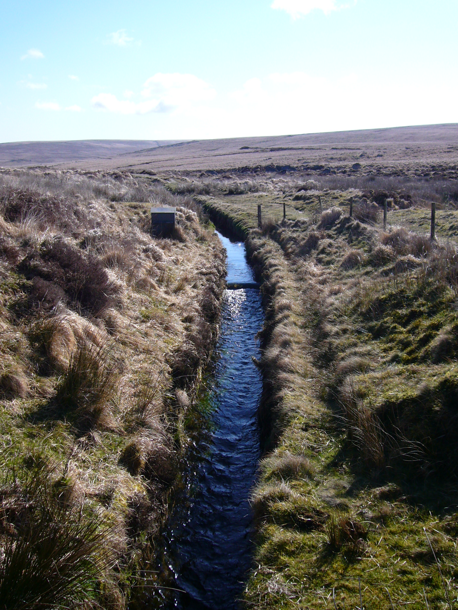
A leat (; also lete or leet, or millstream) is the name, common in the south and west of England and in Wales, for an artificial watercourse or aqueduct dug into the ground, especially one supplying water to a watermill or its mill pond. Other common uses for leats include delivery of water for hydraulic mining and mineral concentration, for irrigation, to serve a dye works or other industrial plant, and provision of drinking water to a farm or household or as a catchment cut-off to improve the yield of a reservoir. According to the ''Oxford English Dictionary'', ''leat'' is cognate with ''let'' in the sense of "allow to pass through". Other names for the same thing include ''fleam'' (probably a leat supplying water to a mill that did not have a millpool). In parts of northern England, for example around Sheffield, the equivalent word is ''goit''. In southern England, a leat used to supply water for water-meadow irrigation is often called a ''carrier'', ''top carrier'', or ' ... [...More Info...] [...Related Items...] OR: [Wikipedia] [Google] [Baidu] |
Afon Cennen
The Afon Cennen is a river in the county of Carmarthenshire, south Wales. It rises on the northern slopes of the Black Mountain to the east of the summit of Tair Carn Uchaf and flows north to Blaencennen Farm, then westwards past Carreg Cennen Castle, continuing through the village of Trap where it exits the Brecon Beacons National Park. Near the hamlet of Derwydd it turns northwest for a mile then northeast to run through the village of Ffairfach to its confluence with the River Towy opposite Llandeilo. The name could derive either from 'cen' meaning lichen A lichen ( , ) is a composite organism that arises from algae or cyanobacteria living among filaments of multiple fungi species in a mutualistic relationship. [...More Info...] [...Related Items...] OR: [Wikipedia] [Google] [Baidu] |
Ffairfach
Ffairfach is a village south of the market town of Llandeilo in the eastern part of Carmarthenshire, Wales. It is located close to the confluence of the Afon Cennen and the River Towy. Population is 516 according to 2017 census. Etymology The Welsh name for the village is ''Ffair-fach'' signifying 'little fair'. In the early 17th century it was recorded as ''Ffair fach yn Llandilo''. The 'large fair' took place in neighbouring Llandeilo. It was reportedly formerly known as Abercennen. History In the early 19th century Ffairfach was a fair sized village of about three dozen houses. It had a corn mill and a village inn, The Torbay Inn, which doubled as a blacksmiths. The Tabernacle chapel was built in 1818, with a burial ground. Two fairs were held each year, one on 5 May and a cattle fair on 22 November. The Union Poor House was built about 1839. The stone used to build the nearby Llandeilo Bridge (1848) was excavated from a quarry near the signal box at the side of the ra ... [...More Info...] [...Related Items...] OR: [Wikipedia] [Google] [Baidu] |
Carreg Cennen Castle
Carreg Cennen Castle (Welsh: ''Castell Carreg Cennen'') is a castle sited on a high rocky outcrop overlooking the River Cennen, close to the village of Trap, four miles south east of Llandeilo in Carmarthenshire, Wales. ''Castell Carreg Cennen'' means ''castle on a rock next to (the river) Cennen'', the river name itself being a reference either to ''cen'' meaning lichen or perhaps a personal name. The dramatic limestone precipice was originally the site of a native Welsh castle, possibly constructed by The Lord Rhys (), although any remains of this castle have been subsumed by later English work. In 1277, during the conquest of Wales by Edward I, the English gained control of the castle. It was briefly retaken by Welsh forces in 1282, but was back under English control by the following year, when it was granted to the English baron John Giffard (). The castle was unsuccessfully besieged by Owain Glyndŵr during the Welsh Revolt. During the Wars of the Roses it was surrendered ... [...More Info...] [...Related Items...] OR: [Wikipedia] [Google] [Baidu] |
Carreg Dwfn
Carreg Dwfn (also referred to as Careg Dwfn and Carregydwfn and referred to also as Careg-y-dwfan. ) is a hill four miles southeast of Llandeilo and just to the south of the village of Trap in the county of Carmarthenshire, south Wales. It lies at the western extremity of the Brecon Beacons National Park and Fforest Fawr Geopark. Its summit at is towards the eastern end of a rocky east-west-aligned ridge. Geology The hill is formed from the coarse Twrch Sandstone (formerly known as the Basal Grit) laid down during the Namurian stage of the Carboniferous period. It is defined by faults to east and west. There are a handful of disused gritstone quarries on the southern slope of the hill. Quarrying rights at these sites were stopped by the Brecon Beacons National Park Authority in 2008. To its north is the large Craigyrodyn Quarry which worked the Carboniferous Limestone Carboniferous Limestone is a collective term for the succession of limestones occurring widely throughout G ... [...More Info...] [...Related Items...] OR: [Wikipedia] [Google] [Baidu] |
Hugo Rhys, 10th Baron Dynevor
Hugo Griffith Uryan Rhys, 10th Baron Dynevor (born 19 November 1966) is a British hereditary peer. He was educated at Bryanston School and at the University of East Anglia where he graduated with a degree in drama in 1988. The son of Richard Rhys, 9th Baron Dynevor and Lucy Catherine King, he succeeded to the barony in 2008. He is the maternal grandson of Sir John Rothenstein.‘DYNEVOR’, Who's Who 2014, A & C Black, an imprint of Bloomsbury Publishing plc, 2014 The heir presumptive to the Barony is Robert David Arthur Rhys, a great-grandson of Walter Rice, 7th Baron Dynevor and second cousin to the present Baron. References 1966 births Living people People educated at Bryanston School Alumni of the University of East Anglia 10 Hugo Hugo or HUGO may refer to: Arts and entertainment * ''Hugo'' (film), a 2011 film directed by Martin Scorsese * Hugo Award, a science fiction and fantasy award named after Hugo Gernsback * Hugo (franchise), a children's media f ... [...More Info...] [...Related Items...] OR: [Wikipedia] [Google] [Baidu] |


