|
Trans-Sahara Highway
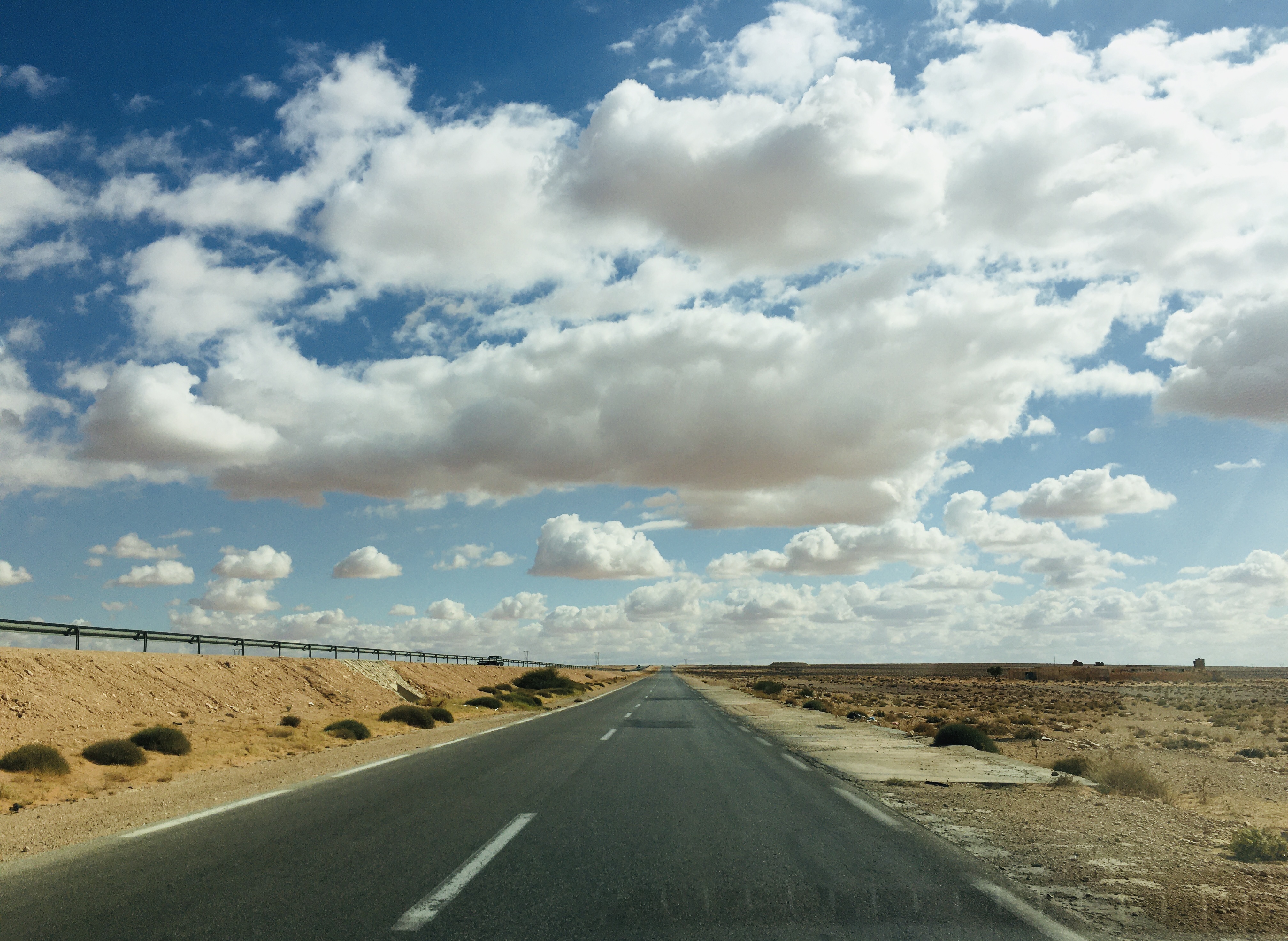
The Trans-Sahara Highway or TAH 2 is a proposed transnational highway project to pave, improve and ease border formalities on an existing trade route running north–south across the Sahara Desert. It runs between North Africa bordered by the Mediterranean Sea in the north and West Africa bordered by the Atlantic Ocean in the south, from Algiers in Algeria to Lagos in Nigeria, giving it the alternative names of the Algiers–Lagos Highway or Lagos–Algiers Highway. The Trans-Sahara Highway is one of the oldest transnational highways in Africa and one of the most complete, having been proposed in 1962, with construction of sections in the Sahara starting in the 1970s. Its central section is still little-used though, and still requires special vehicles and precautions to be taken to survive the harsh environment and climate of the center of the desert. Route and status Overall features, length and condition The Trans-Sahara Highway has a length of about 4,500 km of ... [...More Info...] [...Related Items...] OR: [Wikipedia] [Google] [Baidu] |
Highway
A highway is any public or private road or other public way on land. It is used for major roads, but also includes other public roads and public tracks. In some areas of the United States, it is used as an equivalent term to controlled-access highway, or a translation for ''autobahn'', '' autoroute'', etc. According to Merriam Webster, the use of the term predates the 12th century. According to Etymonline, "high" is in the sense of "main". In North American and Australian English, major roads such as controlled-access highways or arterial roads are often state highways (Canada: provincial highways). Other roads may be designated "county highways" in the US and Ontario. These classifications refer to the level of government (state, provincial, county) that maintains the roadway. In British English, "highway" is primarily a legal term. Everyday use normally implies roads, while the legal use covers any route or path with a public right of access, including footpaths etc. Th ... [...More Info...] [...Related Items...] OR: [Wikipedia] [Google] [Baidu] |
Tamanrasset
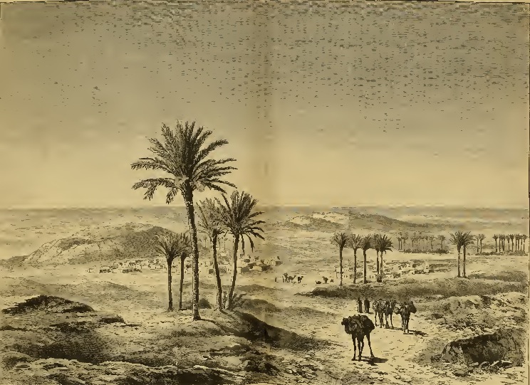
Tamanrasset (; ar, تامنراست), also known as Tamanghasset or Tamenghest, is an oasis city and capital of Tamanrasset Province in southern Algeria, in the Ahaggar Mountains. It is the chief city of the Algerian Tuareg. It is located an altitude of . As of the 2008 census, it has a population of 92,635, up from 72,741 in 1998, with an annual growth rate of 2.5%. Tamanrasset was originally established as a military outpost to guard the trans-Saharan trade routes. Surrounded by the barren Sahara Desert, very high temperatures of over have been recorded here. Tamanrasset is located at an oasis where, despite the difficult climate, citrus fruits, apricots, dates, almonds, cereals, corn, and figs are grown. The Tuareg people were once the town's main inhabitants. Tamanrasset is a tourist attraction during the cooler months. Visitors are also drawn to the Museum of the Hoggar, which offers many exhibits depicting Tuareg life and culture. The city is served by Tamanrasset Airport ... [...More Info...] [...Related Items...] OR: [Wikipedia] [Google] [Baidu] |
Algeria N1(1991)a
) , image_map = Algeria (centered orthographic projection).svg , map_caption = , image_map2 = , capital = Algiers , coordinates = , largest_city = capital , religion = , official_languages = , languages_type = Other languages , languages = Algerian Arabic (Darja)French language, French , ethnic_groups = , demonym = Demographics of Algeria, Algerian , government_type = Unitary state, Unitary Semi-presidential system, semi-presidential republic , leader_title1 = President of Algeria, President , leader_name1 = Abdelmadjid Tebboune , leader_title2 = Prime Minister of Algeria, Prime Minister , leader_name2 = Aymen Benabderrahmane , leader_title3 = List of presidents of the Council of the Nation (Algeria), Council President , leader_name3 = Salah Goudjil , leader_t ... [...More Info...] [...Related Items...] OR: [Wikipedia] [Google] [Baidu] |
Bir Moghrein
Bir Moghrein () is a city with 2,761 residents (Census 2000)Anthony G. PazzanitaHistorical Dictionary of Mauritania 2. Edition. The Scarecrow Press, Lanham (Maryland)/Toronto/Plymouth 2008, Page 100. in Tiris Zemmour region of northern Mauritania, close to the border with Western Sahara Western Sahara ( '; ; ) is a disputed territory on the northwest coast and in the Maghreb region of North and West Africa. About 20% of the territory is controlled by the self-proclaimed Sahrawi Arab Democratic Republic (SADR), while the r .... Climate References Populated places in Mauritania Tiris Zemmour Region {{Mauritania-geo-stub ... [...More Info...] [...Related Items...] OR: [Wikipedia] [Google] [Baidu] |
Tindouf
Tindouf ( Berber: Tinduf, ar, تندوف) is the main town, and a commune in Tindouf Province, Algeria, close to the Mauritanian, Western Saharan and Moroccan borders. The commune has population of around 160,000 but the census and population estimates do not count the Sahrawi refugees making the population as of the 2008 census 45,966, up from 25,266 in 1998, and an annual population growth rate of 6.3%. The region is considered of strategic significance. It houses Algerian military bases and an airport with regular flights to Algiers as well as to other domestic destinations. The settlement of Garet Djebilet lies within the municipal territory of Tindouf near the border with Mauritania; the settlement has an iron mine and a defunct airport, and is approximately northwest of Âouinet Bel Egrâ. Since 1975, it also contains several Sahrawi refugee camps operated by the Polisario Front, a national liberation movement seeking the self-determination of Western Sahara. Histo ... [...More Info...] [...Related Items...] OR: [Wikipedia] [Google] [Baidu] |
Mauritania
Mauritania (; ar, موريتانيا, ', french: Mauritanie; Berber: ''Agawej'' or ''Cengit''; Pulaar: ''Moritani''; Wolof: ''Gànnaar''; Soninke:), officially the Islamic Republic of Mauritania ( ar, الجمهورية الإسلامية الموريتانية), is a sovereign country in West Africa. It is bordered by the Atlantic Ocean to the west, Western Sahara to the north and northwest, Algeria to the northeast, Mali to the east and southeast, and Senegal to the southwest. Mauritania is the 11th-largest country in Africa and the 28th-largest in the world, and 90% of its territory is situated in the Sahara. Most of its population of 4.4 million lives in the temperate south of the country, with roughly one-third concentrated in the capital and largest city, Nouakchott, located on the Atlantic coast. The country's name derives from the ancient Berber kingdom of Mauretania, located in North Africa within the ancient Maghreb. Berbers occupied what is now Mauritania ... [...More Info...] [...Related Items...] OR: [Wikipedia] [Google] [Baidu] |
Nile
The Nile, , Bohairic , lg, Kiira , Nobiin language, Nobiin: Áman Dawū is a major north-flowing river in northeastern Africa. It flows into the Mediterranean Sea. The Nile is the longest river in Africa and has historically been considered the List of rivers by length, longest river in the world, though this has been contested by research suggesting that the Amazon River is slightly longer.Amazon Longer Than Nile River, Scientists Say Of the world's major rivers, the Nile is one of the smallest, as measured by annual flow in cubic metres of water. About long, its drainage basin covers eleven countries: the Democratic Republic of the Congo, Tanzania, Burundi, Rwanda, Uganda, Kenya, Ethiopia, Erit ... [...More Info...] [...Related Items...] OR: [Wikipedia] [Google] [Baidu] |
Cairo–Cape Town Highway
The Cairo–Cape Town Highway is Trans-African Highway 4 in the transcontinental road network being developed by the United Nations Economic Commission for Africa (UNECA), the African Development Bank (AfDB), and the African Union. The route has a length of and links Cairo in Egypt to Cape Town in South Africa. The British Empire had long proposed a road through the Cape to Cairo Red Line of British colonies. The road was variously known as the Cape to Cairo Road, Pan-African Highway, or, in sub-Saharan Africa, the Great North Road. Like the Cape to Cairo Railway, the road was not completed before the end of British colonal rule. In the 1980s, a modified version of the plan was revived as part of the Trans-African Highway, a transcontinental road network developed by the United Nations Economic Commission for Africa (UNECA), the African Development Bank (ADB), and the African Union, named the Cairo-Cape Town Highway. While it uses most of the same roads as the original Cape ... [...More Info...] [...Related Items...] OR: [Wikipedia] [Google] [Baidu] |
Atlantic
The Atlantic Ocean is the second-largest of the world's five oceans, with an area of about . It covers approximately 20% of Earth's surface and about 29% of its water surface area. It is known to separate the " Old World" of Africa, Europe and Asia from the "New World" of the Americas in the European perception of the World. The Atlantic Ocean occupies an elongated, S-shaped basin extending longitudinally between Europe and Africa to the east, and North and South America to the west. As one component of the interconnected World Ocean, it is connected in the north to the Arctic Ocean, to the Pacific Ocean in the southwest, the Indian Ocean in the southeast, and the Southern Ocean in the south (other definitions describe the Atlantic as extending southward to Antarctica). The Atlantic Ocean is divided in two parts, by the Equatorial Counter Current, with the North(ern) Atlantic Ocean and the South(ern) Atlantic Ocean split at about 8°N. Scientific explorations of the Atlanti ... [...More Info...] [...Related Items...] OR: [Wikipedia] [Google] [Baidu] |

.jpg)


