|
Tirumalarajanar River
Tirumalarajanar River is a tributary of the Kodamurutti River which, itself, is a tributary of the river Kaveri. It branches off from the Kodamurutti near Papanasam and flows through the districts of Thanjavur, Tiruvarur and Nagapattinam in Tamil Nadu and the Niravi and Tirumalarajanpattinam communes of the Karaikal District of Puducherry before joining the Bay of Bengal The Bay of Bengal is the northeastern part of the Indian Ocean, bounded on the west and northwest by India, on the north by Bangladesh, and on the east by Myanmar and the Andaman and Nicobar Islands of India. Its southern limit is a line between ... near Tirumalarajanpattinam. References * Rivers of Tamil Nadu Rivers of India {{India-river-stub ... [...More Info...] [...Related Items...] OR: [Wikipedia] [Google] [Baidu] |
Kaveri
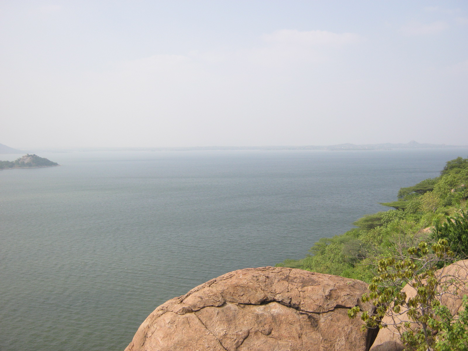
The Kaveri (also known as Cauvery, the anglicized name) is one of the major Indian rivers flowing through the states of Karnataka and Tamil Nadu. The Kaveri river rises at Talakaveri in the Brahmagiri range in the Western Ghats, Kodagu district of the state of Karnataka, at an elevation of 1,341 m above mean sea level and flows for about 800 km before its outfall into the Bay of Bengal. It reaches the sea in Poompuhar in Mayiladuthurai district. It is the third largest river after Godavari and Krishna in southern India, and the largest in the State of Tamil Nadu, which, on its course, bisects the state into north and south. In ancient Tamil literature, the river was also called Ponni (the golden maid, in reference to the fine silt it deposits). The Kaveri is a sacred river to the people of South India and is worshipped as the Goddess Kaveriamma (Mother Cauvery). It is considered to be among the seven holy rivers of India. It is extensively used for agriculture in bo ... [...More Info...] [...Related Items...] OR: [Wikipedia] [Google] [Baidu] |
Papanasam
Papanasam is a panchayat town in Thanjavur district in the Indian state of Tamil Nadu. It is located from Thanjavur and from Kumbakonam. The name literally translates to "Destruction of Sins" in the Tamil language. It is the suburban region of Kumbakonam. Geography Climate Papanasam is located at and has an average elevation of . Köppen-Geiger climate classification system classifies its climate as tropical wet and dry. Demographics Population As of 2001 India census, Papanasam had a population of 16,397. Males constitute 50% of the population and females 50%. Papanasam has an average literacy rate of 76%, higher than the national average of 59.5%: male literacy is 82%, and female literacy is 70%. In Papanasam, 11% of the population is under 6 years of age. Government and politics Papanasam assembly constituency is part of Mayiladuturai Lok Sabha constituency. Culture/Cityscape Papanasam (Thanjavur) (Tamil: பாபநாசம், literally ... [...More Info...] [...Related Items...] OR: [Wikipedia] [Google] [Baidu] |
Thanjavur District
Thanjavur District is one of the Districts of Tamil Nadu, 38 districts of the States and territories of India, state of Tamil Nadu, in southeastern India. Its headquarters is Thanjavur. The district is located in the delta of the Cauvery River and is mostly agrarian. As of 2011, Thanjavur district had a population of 2,405,890 with a sex-ratio of 1,035 females for every 1,000 males. Geography The district is located at in Central Tamil Nadu bounded on the northeast by Mayiladuthurai district, on the east by Tiruvarur District, on the south by the Palk Strait of Bay of Bengal on the west by Pudukkottai District and Tiruchirappalli District, Tiruchirappalli, small border with Cuddalore district, Cuddalore on the northeast and on the north by the river Kollidam, across which lie part of Tiruchirappalli District, Tiruchirappalli, and Ariyalur district, Ariyalur districts. Demographics According to 2011 census of India, 2011 census, Thanjavur district had a population of 2,4 ... [...More Info...] [...Related Items...] OR: [Wikipedia] [Google] [Baidu] |
Tiruvarur District
Thiruvarur district is one of the 38 districts in the Tamil Nadu state of India. As of 2011, the district had a population of 1,264,277 with a sex-ratio of 1,017 females for every 1,000 males. Geography The district occupies an area of 2,161 km². The district is bounded by Nagapattinam district on the east, Mayiladuthurai district on the north, Thanjavur District on the west, Palk Strait on the south and a small border on the northeast with the Karaikal district of the union territory Puducherry. Demographics According to 2011 census, Thiruvarur district had a population of 1,264,277 with a sex-ratio of 1,017 females for every 1,000 males, much above the national average of 929. A total of 121,973 were under the age of six, constituting 62,280 males and 59,693 females. Scheduled Castes and Scheduled Tribes accounted for 34.08% and 0.24% of the population respectively. The average literacy of the district was 74.86%, compared to the national average of 72.99%. The dis ... [...More Info...] [...Related Items...] OR: [Wikipedia] [Google] [Baidu] |
Nagapattinam District
Nagapattinam district is one of the 38 districts (a coastal district) of Tamil Nadu state in southern India. Nagapattinam district was carved out by bifurcating the erstwhile composite Thanjavur district on 19 October 1991. The town of Nagapattinam is the district headquarters. As of 2011, the district had a population of 697,069 with a sex-ratio of 1,025 females for every 1,000 males. Until Mayiladuthurai district was created out of it on 24 March 2020, Nagapattinam was the only discontiguous district in Tamil Nadu. Etymology ''Nagapattinam'' is derived from ''Nagar'', referring to people, and ''pattinam'' referring to town. In Tamil ''Pattinam'' and ''paakkam'' depicts coastal towns. The town was also called ''Cholakula Vallipattinam'' during the Chola period, when it was one of the important ports. Ptolemy refers to Nagapattinam as Nikam and mentions it as one of the most important trade centres of the ancient Tamil country. This view is doubtful as there is no contemporary e ... [...More Info...] [...Related Items...] OR: [Wikipedia] [Google] [Baidu] |
Tamil Nadu
Tamil Nadu (; , TN) is a States and union territories of India, state in southern India. It is the List of states and union territories of India by area, tenth largest Indian state by area and the List of states and union territories of India by population, sixth largest by population. Its capital and largest city is Chennai. Tamil Nadu is the home of the Tamil people, whose Tamil language—one of the longest surviving Classical languages of India, classical languages in the world—is widely spoken in the state and serves as its official language. The state lies in the southernmost part of the Indian peninsula, and is bordered by the Indian union territory of Puducherry (union territory), Puducherry and the states of Kerala, Karnataka, and Andhra Pradesh, as well as an international maritime border with Sri Lanka. It is bounded by the Western Ghats in the west, the Eastern Ghats in the north, the Bay of Bengal in the east, the Gulf of Mannar and Palk Strait to the south-eas ... [...More Info...] [...Related Items...] OR: [Wikipedia] [Google] [Baidu] |
Tirumalarajanpattinam
Tirumalairayanpattinam is a census town and commune in the Karaikal District of Puducherry, India. Tirumalairayanpattinam is situated at a distance of 6 kilometres to the south of Karaikal municipality. Etymology Thirumalairayanpattinam belongs to Karaikal District in Puducherry. This town is believed to be named after the king who ruled TR Pattinam during ancient days and also the river named out of that king name Tirumalarajanar River which drains into the Bay of Bengal a few kilometres north of the town. Demography According to the 2001 census, Thirumalarajanpattinam had a population of 18,862 with 9,289 men and 9,573 women. The sex ratio was 1.031:1. Masi Magam This annual festival takes place on the full moon day of the Tamil month of Masi (Between February and March). Deities from as many temples in and around Karaikal are brought in ceremonial processions to the seashore for a symbolic immersion ceremony. Thousands of people go to the seashore to have a dip in the ... [...More Info...] [...Related Items...] OR: [Wikipedia] [Google] [Baidu] |
Karaikal District
Karaikal district ( French: ''District de Karikal'') is one of the four districts of the Union Territory of Puducherry in India. Geography Karaikal district occupies an area of . Karaikal is a small coastal enclave of territory which was formerly part of French India. Together with the other former French enclaves of Pondicherry, Yanam, and Mahé, Karaikal forms the Union Territory of Puducherry. Karaikal is bounded on the North by Mayiladuthurai district, on the South by Nagapattinam district of Tamil Nadu state, on the west by Tiruvarur district (also belonging to Tamil Nadu), and on the East by the Bay of Bengal. Demographics According to the 2011 census Karaikal district has a population of 200,222, roughly equal to the nation of Samoa. This gives it a ranking of 589th in India (out of a total of 640). The district has a population density of . Its population growth rate over the decade 2001-2011 was 17.29%. Karaikal has a sex ratio of 1048 females for every 100 ... [...More Info...] [...Related Items...] OR: [Wikipedia] [Google] [Baidu] |
Puducherry (union Territory)
Puducherry (), also known as Pondicherry () or Pondichéry, is a union territory of India, consisting of four small geographically unconnected districts. It was formed out of four territories of former French India, namely Pondichéry (Pondicherry; now Puducherry), Karikal (Karaikal), Mahé and Yanaon (now Yanam), excluding Chandannagar (Chandernagore), and it is named after the largest district, Puducherry, which was also the capital of French India. Historically known as Pondicherry (), the territory changed its official name to Puducherry on 20 September 2006. The Union Territory of Puducherry lies in the southern part of the Indian Peninsula. The areas of Puducherry district and Karaikal district are bound by the state of Tamil Nadu, while Yanam district and Mahé district are enclosed by the states of Andhra Pradesh and Kerala, respectively. Puducherry is the 29th most populous of the 36 states and union territories of India, and the third most densely populated ... [...More Info...] [...Related Items...] OR: [Wikipedia] [Google] [Baidu] |
Bay Of Bengal
The Bay of Bengal is the northeastern part of the Indian Ocean, bounded on the west and northwest by India, on the north by Bangladesh, and on the east by Myanmar and the Andaman and Nicobar Islands of India. Its southern limit is a line between Sangaman Kanda, Sri Lanka, and the north westernmost point of Sumatra, Indonesia. It is the largest water region called a bay in the world. There are countries dependent on the Bay of Bengal in South Asia and Southeast Asia. During the existence of British India, it was named as the Bay of Bengal after the historic Bengal region. At the time, the Port of Kolkata served as the gateway to the Crown rule in India. Cox's Bazar, the longest sea beach in the world and Sundarbans, the largest mangrove forest and the natural habitat of the Bengal tiger, are located along the bay. The Bay of Bengal occupies an area of . A number of large rivers flow into the Bay of Bengal: the Ganges– Hooghly, the Padma, the Brahmaputra–Yamuna, the Barak†... [...More Info...] [...Related Items...] OR: [Wikipedia] [Google] [Baidu] |


_female_head.jpg)

.jpg)
