|
Throggs Neck, Bronx
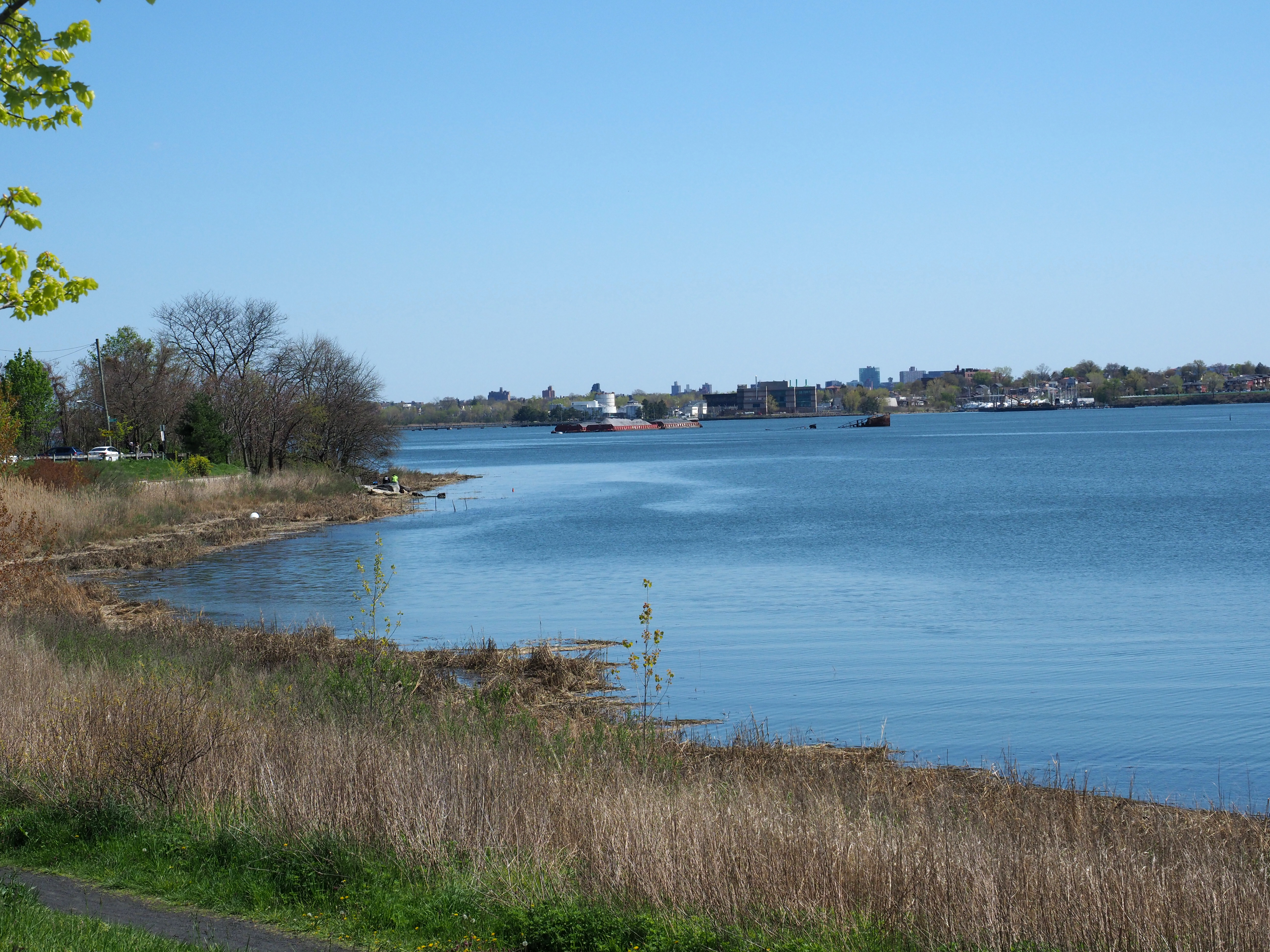
Throggs Neck (also known as Throgs Neck) is a neighborhood and peninsula in the south-eastern portion of the borough of the Bronx in New York City. It is bounded by the East River and Long Island Sound to the south and east, Westchester Creek on the west, and Baisley Avenue and the Bruckner Expressway on the north. The neighborhood is part of Bronx Community District 10, and its ZIP Code is 10465. Throggs Neck is patrolled by the 45th Precinct of the New York City Police Department. Geography Throggs Neck is a narrow spit of land in the south-eastern portion of the borough of the Bronx in New York City. It demarcates the passage between the East River (an estuary) and Long Island Sound. "Throggs Neck" is also the name of the neighborhood of the peninsula, bounded on the north by Baisley Avenue and the Bruckner Expressway, on the west by Westchester Creek, and on the other sides by the River and the Sound. Throggs Neck is at the northern approach to the Throgs Neck Bridge, whic ... [...More Info...] [...Related Items...] OR: [Wikipedia] [Google] [Baidu] |
Neighborhoods In The Bronx
This article features a list of neighborhoods in the Bronx, one of the five New York City Borough, boroughs of New York City. When using this article, note that names of many (but not all) neighborhoods in the Bronx are popular based on their historical pedigree and the livability factor. However, this is not true for all neighborhoods in the Bronx; while someone living at East 213th Street & White Plains Road might prefer to describe their location simply as "Gun Hill Road" (a nearby thoroughfare) rather than "Williamsbridge". Other neighborhood names have greater popularity. For example, Riverdale was once home to John F. Kennedy and is known for its affluence, large mansions, and proximity to amenities. Throggs Neck has a bridge named for it and the neighborhood is known for waterfront beach communities located on the Long Island Sound. Regions of the Bronx Generally speaking, there are two major systems of dividing the Bronx into regions, which often conflict with one another ... [...More Info...] [...Related Items...] OR: [Wikipedia] [Google] [Baidu] |
Westchester Creek
Westchester Creek (also known as Frenchman's Creek) is a tidal inlet of the East River located in the south eastern portion of the Bronx in New York City. It is 2.1 miles (3.39 km) in length. The creek formerly traveled further inland, to what is now Pelham Parkway, extending almost to Eastchester Bay and making Throggs Neck into an island during heavy storms. However, much of the route has been filled in, replaced by such structures as the New York City Subway's Westchester Yard and the Hutchinson Metro Center. Westchester Creek's present-day head is at Herbert H. Lehman High School; the remaining portion is largely inaccessible and surrounded by industrial enterprises or empty lots. Westchester Creek is traversed by the Bruckner Interchange at about its midpoint. Pugsley Creek, historically known as Maenippis Kill and Cromwell's Creek, is a right bank tributary of Westchester Creek and is surrounded by a park of the same name. The creek formerly extended north to Westchest ... [...More Info...] [...Related Items...] OR: [Wikipedia] [Google] [Baidu] |


