|
The Ashley Centre
The Ashley Centre (for a brief period rebranded The Mall Ashley) is a shopping centre, in Epsom, Surrey. The Ashley Centre was opened on 24 October 1984 by Queen Elizabeth II as The Ashley Centre, a development combined of shops, a multi-storey car park, office space and a theatre space. In 2005, it was acquired by The Mall Company and rebranded throughout as The Mall Epsom. In 2009, the centre was sold again and purchased by Bride Hall Group. It was relaunched in April 2009 and has now reverted to the original name of The Ashley Centre. Development The centre was designed to have minimal impact on the streetscape of Epsom High Street, as it incorporated many of the traditional older buildings that existed along the High Street - for example the old Lester Bowden shop and Marks & Spencer's marketplace entrances. The taller buildings of the centre are located furthest from the marketplace so as to not be intrusive to the older buildings of the town. These are the service facilit ... [...More Info...] [...Related Items...] OR: [Wikipedia] [Google] [Baidu] |
Epsom, Surrey
Epsom is the principal town of the Borough of Epsom and Ewell in Surrey, England, about south of central London. The town is first recorded as ''Ebesham'' in the 10th century and its name probably derives from that of a Saxon landowner. The earliest evidence of human activity is from the mid-Bronze Age, but the modern settlement probably grew up in the area surrounding St Martin's Church in the 6th or 7th centuries and the street pattern is thought to have become established in the Middle Ages. Today the High Street is dominated by the clock tower, which was erected in 1847–8. Like other nearby settlements, Epsom is located on the spring line where the permeable chalk of the North Downs meets the impermeable London Clay. Several tributaries of the Hogsmill River rise in the town and in the 17th and early 18th centuries, the spring on Epsom Common was believed to have healing qualities. The mineral waters were found to be rich in ''Epsom salts'', which were later iden ... [...More Info...] [...Related Items...] OR: [Wikipedia] [Google] [Baidu] |
Kingston Upon Thames
Kingston upon Thames (hyphenated until 1965, colloquially known as Kingston) is a town in the Royal Borough of Kingston upon Thames, southwest London, England. It is situated on the River Thames and southwest of Charing Cross. It is notable as the ancient market town in which Saxon kings were crowned and today is the administrative centre of the Royal Borough. Historically in the county of Surrey, the ancient parish of Kingston became absorbed in the Municipal Borough of Kingston-upon-Thames, reformed in 1835. From 1893 to 2021 it was the location of Surrey County Council, extraterritorially in terms of local government administration since 1965, when Kingston became a part of Greater London. Today, most of the town centre is part of the KT1 postcode area, but some areas north of Kingston railway station are within KT2. The United Kingdom Census 2011 recorded the population of the town (comprising the four wards of Canbury, Grove, Norbiton and Tudor) as 43,013, while ... [...More Info...] [...Related Items...] OR: [Wikipedia] [Google] [Baidu] |
Purley, London
Purley is an area of the London Borough of Croydon in London, England, south of Charing Cross, with a history going back at least 800 years. It was originally granted as an estate from holdings at Sanderstead and until as a district of Surrey and then, with neighbouring Coulsdon, as an urban district that became an electoral ward of the London Borough of Croydon, becoming part of the ceremonial county of London, in 1965. In 2018 the Purley ward was divided into two: Purley and Woodcote, and Purley Oaks and Riddlesdown. Purley is a suburban area of South London, and the quintessential suburban environment has been referenced in fictional and popular culture, most notably as the setting for the long running Terry and June sitcom. Purley had a population of about 14,000 in 2011. History Toponymy The name derives from an estate, mentioned in about 1200 when it was deeded to one William de Pirelea, son of Osbert de Pirelea by the abbot of St. Peter’s monastery near Winchester. ... [...More Info...] [...Related Items...] OR: [Wikipedia] [Google] [Baidu] |
Coulsdon
Coulsdon (, traditionally pronounced ) is a town in south London, England, within the London Borough of Croydon, in the ceremonial county of Greater London since 1965. Prior to this it was part of the historic county of Surrey. History The location forms part of the North Downs. The hills contain chalk and flint. A few dry valleys with natural underground drainage merge and connect to the main headwater of the River Wandle, as a winterbourne (stream), so commonly called "the Bourne". Although this breaks onto the level of a few streets when the water table is exceptionally high, the soil is generally dry. The depression and wind gap has been a natural route way across the Downs for early populations. Fossil records exist from the Pleistocene period (about 4,000,000 years ago) There is evidence of human occupation from the Neolithic period, Iron Age,Volume 9 of the Bourne Society's Local History Records (1970) Anglo-Saxon, Bronze Age, Roman and Medieval *675. Frithwald, an ... [...More Info...] [...Related Items...] OR: [Wikipedia] [Google] [Baidu] |
Chipstead, Surrey
Chipstead is a predominantly commuter village in north-east Surrey, England, that has been a small ecclesiastical parish since the Domesday Survey of 1086. Its rolling landscape meant that Chipstead's development was late and restricted compared to parishes of comparable distance from London. Formerly and formally including Hooley and Netherne-on-the-Hill, on census day, 1831 Chipstead had 66 homes. Today, excluding those two parts, the village has 1,212 homes spread across the slopes and crests of a northern section of the North Downs. Parts of the village are in or adjoin the Surrey Hills AONB. Geography The land within and to all sides forms curved valleys of downland. Beyond Chipstead's boundaries are the villages of Woodmansterne and slightly more distant Coulsdon, Banstead, Hooley and Kingswood. Woodmansterne is in two parts, one of which is in Greater London (as is Coulsdon) – the nearest, the Surrey part is the western follow-on to the built-up valley street of ... [...More Info...] [...Related Items...] OR: [Wikipedia] [Google] [Baidu] |
Colliers Wood
Colliers Wood is an area in south west London, England, in the London Borough of Merton. It is a mostly residential area, but has a busy high street around Colliers Wood tube station on London Underground's Northern line. The high street is part of the A24, a major road route roughly following the Northern Line, running from London through Tooting and other areas. The Colliers Wood ward had a population of 10,712 in 2011. Colliers Wood shares its postcode district of SW19 with Wimbledon. It merges into Merton Abbey. Colliers Wood has three parks: a recreation ground, the National Trust-owned Wandle Park, which covers an area of approximately , and the more informal Wandle Meadow Nature Park. Colliers Wood United F.C. is a semi-professional football club founded in Colliers Wood but now based in nearby New Malden. History Colliers Wood takes its name from a wood that stood to the east of Colliers Wood High Street, approximately where Warren, Marlborough and Birdhurst Roads ... [...More Info...] [...Related Items...] OR: [Wikipedia] [Google] [Baidu] |
Morden
Morden is a district and town in south London, England, within the London Borough of Merton, in the ceremonial county of Greater London. It adjoins Merton Park and Wimbledon to the north, Mitcham to the east, Sutton to the south and Worcester Park to the west, and is around south-southwest of Charing Cross. Prior to the creation of Greater London in 1965, for local government purposes, Morden was in the administrative and historic county of Surrey. At the 2011 Census, Morden had a population of 48,233, including the wards of Cannon Hill, Lower Morden, Merton Park, Ravensbury and St Helier. Morden Hall Park, a National Trust park on the banks of the River Wandle adjacent to the town centre, is a key feature of the area. Origin of name Morden's name may be derived from the Common Brittonic words ''Mawr'' (great or large) and ''Dun'' (fort), or possibly "The Town on the Moor". History Early history Human activity in Morden dates back to the Iron Age period when Celtic ... [...More Info...] [...Related Items...] OR: [Wikipedia] [Google] [Baidu] |
St Helier, London
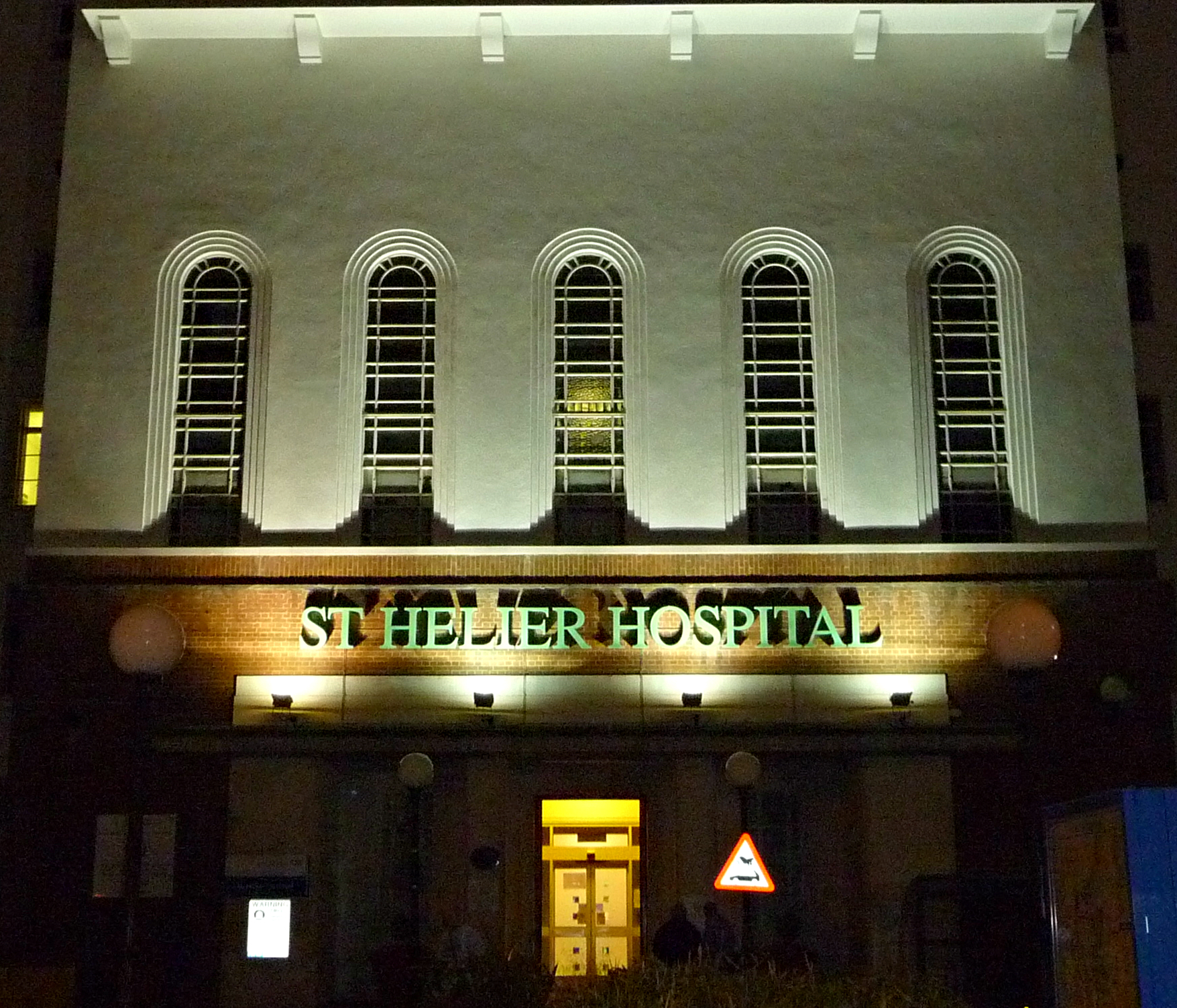
St Helier () is a residential cottage estate in the London boroughs of Merton and Sutton. The portion of the estate north of Green Lane and Bishopsford Road is in Merton, the remainder is in Sutton. History The site of the St Helier estate has been connected to long-term charity since the early 17th century. Henry Smith (d. 1627) was a wealthy citizen and salter of London who gave much money to parishes in London and Surrey during his lifetime and in his will. He is buried in Wandsworth parish church and is supposed to have been born in Wandsworth. In 1617 he gave £500 towards the purchase of land in Carshalton, the rent of which was to support the poor of Wandsworth. Another £100 bequest came from Mrs. Elizabeth Blackwell. In 1814 the lands were described as being just over 116 acres and having a building, barn and outhouses. The Wandsworth Poor Lands lay on either side of Wrythe Lane at the southernmost part of the St. Helier estate footprint. Another local benefactor was ... [...More Info...] [...Related Items...] OR: [Wikipedia] [Google] [Baidu] |
Sutton, London
Sutton is the principal town in the London Borough of Sutton in South London, England. It lies on the lower slopes of the North Downs, and is the administrative headquarters of the Outer London borough. It is south-south west of Charing Cross, and is one of the thirteen metropolitan centres in the London Plan. The population of the town was counted as 41,483 in the 2011 census, while the borough overall counted 204,525. An ancient parish originally in the county of Surrey, Sutton is recorded in the ''Domesday Book'' of 1086 as having two churches and about 30 houses. Its location on the London to Brighton turnpike from 1755 led to the opening of coaching inns, spurring its growth as a village. When it was connected to central London by rail in 1847, it began to grow into a town, and it expanded further in the 20th century. It became a Municipal Borough of Sutton and Cheam, municipal borough with Cheam in 1934, and became part of Greater London in 1965. Sutton has the largest ... [...More Info...] [...Related Items...] OR: [Wikipedia] [Google] [Baidu] |
Cheam
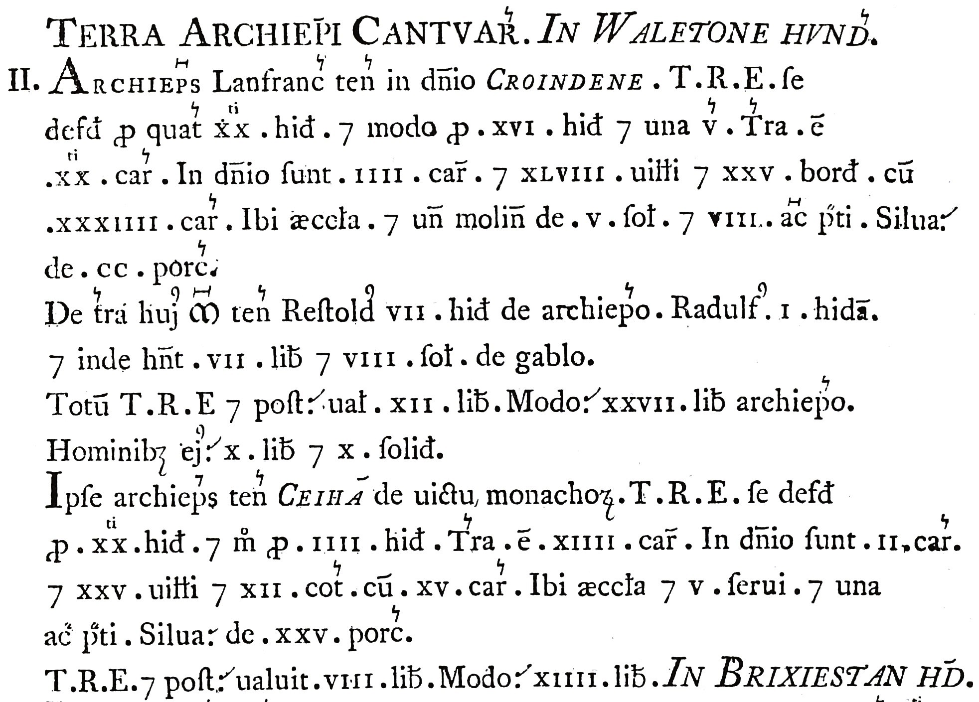
Cheam () is a suburb of London, England, south-west of Charing Cross. It is divided into North Cheam, Cheam Village and South Cheam. Cheam Village contains the listed buildings Lumley Chapel and the 16th-century Whitehall. It is adjacent to two large parks, Nonsuch Park and Cheam Park. Nonsuch Park contains the listed Nonsuch Mansion. Parts of Cheam Park and Cheam Village are in a conservation area. Cheam is bordered by Worcester Park to the north-west, Morden to the north-east, Sutton to the east, Epsom, Ewell and Stoneleigh to the west and Banstead and Belmont to the south. History The Roman road of Stane Street forms part of the boundary of Cheam. The modern London Road at North Cheam follows the course of the Roman road through the area. It is designated A24. The village lay within the Anglo-Saxon administrative division of Wallington hundred. Cheam is mentioned in the Charters of Chertsey Abbey in 727, which mentions Cheam being given to the monastery of Chertsey in 6 ... [...More Info...] [...Related Items...] OR: [Wikipedia] [Google] [Baidu] |
Worcester Park
Worcester Park is a suburban town in South London, South West London, England. It lies in the Boroughs of London, London boroughs of London Borough of Sutton, Sutton and Royal Borough of Kingston, Kingston, and partly in the Surrey borough of Epsom and Ewell. The area is southwest of Charing Cross. The suburb's population was 16,031 at the time of the United Kingdom Census 2001, 2001 census. The suburb comprises the Worcester Park Wards of the United Kingdom, ward, an electoral area of the London Borough of Sutton with a population in of , as well as the Cuddington ward, an electoral area of Epsom and Ewell, which had a population of 5,791 at the time of the 2001 census. The Worcester Park post town, which is coterminous with the KT postcode area, KT4 postcode district, covers all of the suburb and also extends into Old Malden. The Beverley Brook runs through Worcester Park, alongside Green Lane and past Green Lane Primary School and Cheam Common Junior School for the special ... [...More Info...] [...Related Items...] OR: [Wikipedia] [Google] [Baidu] |
Ewell
Ewell ( , ) is a suburban area with a village centre in the borough of Epsom and Ewell in Surrey, approximately south of central London and northeast of Epsom. In the 2011 Census, the settlement had a population of 34,872, a majority of which (73%) is in the ABC1 social class, except the Ruxley Ward that is C2DE. Ewell was founded as a spring line settlement, where the permeable chalk of the North Downs meets the impermeable London Clay, and the Hogsmill River (a tributary of the River Thames) still rises at a spring close to Bourne Hall in the village centre. Recorded in Domesday Book as ''Etwelle'', the settlement was granted a licence to hold a market in 1618. The opening of railway stations to the east and west of the centre, in 1847 and 1859 respectively, facilitated the creation of extensive residential areas, which are now contiguous with the Greater London suburbs. History The name ''Ewell'' derives from Old English ''æwell'', which means ''river source'' or ... [...More Info...] [...Related Items...] OR: [Wikipedia] [Google] [Baidu] |
.jpg)

