|
Thamesmead
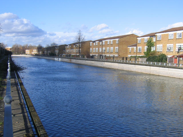
Thamesmead is an area of south-east London, England, straddling the border between the Royal Borough of Greenwich and the London Borough of Bexley. It is located east of Charing Cross, north-east of Woolwich and west of Erith. It mainly consists of social housing built from the mid-1960s onwards on former marshland on the south bank of the River Thames. History Military use Most of the land area of Thamesmead previously formed about of the old Royal Arsenal site that extended over Plumstead Marshes and Erith Marshes. There is some evidence of prehistoric human occupation of the area: flints, animal bones and charcoal were found in bore holes around Western and Central Way in 1997 by the Museum of London Archaeological Service (MOLAS).Museum of L ... [...More Info...] [...Related Items...] OR: [Wikipedia] [Google] [Baidu] |
Erith And Thamesmead (UK Parliament Constituency)
Erith and Thamesmead () is a constituency created in 1997 and represented in the House of Commons of the UK Parliament since 2019 by Abena Oppong-Asare of the Labour Party. History The seat was created for the 1997 general election from parts of the old Woolwich and Erith and Crayford constituencies. John Austin was the MP for this constituency from its creation for the 1997 general election until he stepped down at the 2010 election. The seat was then held for Labour by a local activist Teresa Pearce, who defeated the Conservative candidate Colin Bloom, a councillor for Bickley ward in Bromley. Pearce increased her majority at the 2015 general election to rank 125th of the party's 232 MPs then elected. 2010 Labour selection controversy In April 2009, an investigation took place into the tampering of ballot boxes and abuse of the postal vote system used for the selection of the prospective Labour candidate for Erith and Thamesmead. A rerun of the candidate selection bal ... [...More Info...] [...Related Items...] OR: [Wikipedia] [Google] [Baidu] |
Erith
Erith () is an area in south-east London, England, east of Charing Cross. Before the creation of Greater London in 1965, it was in the historical county of Kent. Since 1965 it has formed part of the London Borough of Bexley. It lies north-east of Bexleyheath and north-west of Dartford, on the south bank of the River Thames. The population is 45,345. The town centre has been modernised with further dwellings added since 1961. The curved riverside high street has three listed buildings, including the Church of England church and the Carnegie Building. Erith otherwise consists mainly of suburban housing. It is linked to central London and Kent by rail and to Thamesmead by a dual carriageway. It has the longest pier in London, and retains a coastal environment with salt marshes alongside industrial land. History Pre-medieval Work carried out at the former British Gypsum site in Church Manorway by the Museum of London Archaeological Service shows that the area was cover ... [...More Info...] [...Related Items...] OR: [Wikipedia] [Google] [Baidu] |
London Borough Of Bexley
The London Borough of Bexley () is a London boroughs, London borough in south-east London, forming part of Outer London. It has a population of 248,287. The main settlements are Sidcup, Erith, Bexleyheath, Crayford, Welling and Old Bexley. The London Borough of Bexley is within the Thames Gateway, an area designated as a national priority for urban renewal, urban regeneration. The local authority is Bexley London Borough Council. History Prior to the 19th century the area now forming the London Borough, borough was sparsely populated: very few of the present settlements were mentioned in the Domesday Book, although the village of Old Bexley, Bexley has a charter dated 814, 814 AD.A brief history of Bexley Erith was a port on the River Thames until the 17th centur ... [...More Info...] [...Related Items...] OR: [Wikipedia] [Google] [Baidu] |
Royal Borough Of Greenwich
The Royal Borough of Greenwich (, , or ) is a London borough in southeast Greater London. The London Borough of Greenwich was formed in 1965 by the London Government Act 1963. The new borough covered the former area of the Metropolitan Borough of Greenwich and part of the Metropolitan Borough of Woolwich to the east. The local council is Greenwich London Borough Council which meets in Woolwich Town Hall. The council's offices are also based in Woolwich, the main urban centre in the borough. Greenwich is the location of the Greenwich prime meridian, on which all Coordinated Universal Time is based. The prime meridian running through Greenwich and the Greenwich Observatory is where the designation Greenwich Mean Time, or GMT began, and on which all world times are based. In 2012, Greenwich was listed as a top ten global destination by Frommer's – the only UK destination to be listed. To mark the Diamond Jubilee of Elizabeth II, Greenwich became a Royal Borough on 3 February 20 ... [...More Info...] [...Related Items...] OR: [Wikipedia] [Google] [Baidu] |
Plumstead
Plumstead is an area in southeast London, within the Royal Borough of Greenwich, England. It is located east of Woolwich. History Until 1965, Plumstead was in the historic counties of England, historic county of Kent and the detail of much of its early history can be found in Edward Hasted's extensive history of Kent. In 960 King Edgar I of England, Edgar gave four plough lands, collectively called Plumstead, to a monastery - St Augustine's Abbey near Canterbury, Kent. These were subsequently taken from the monastery by Godwin, Earl of Wessex, Earl Godwin for his fourth son, Tostig Godwinson, Tostig. King Edward the Confessor restored them again to the monastery on taking power, however Tostig saw the opportunity to take possession of them once again after Edward's death in 1066 when Harold Godwinson, King Harold seized his brother's estates. After the Battle of Hastings in 1066, William the Conqueror gifted Plumstead to his half-brother Odo, Bishop of Bayeux, whom he a ... [...More Info...] [...Related Items...] OR: [Wikipedia] [Google] [Baidu] |
Jubilee Line Extension
The Jubilee Line Extension (JLE) is the extension of the London Underground Jubilee line from to through south and east London. An eastward extension of the line was first proposed in the 1970s. As part of the development of London Docklands, the line was extended to serve Canary Wharf and other areas of south and east London. Construction began in 1993, and it opened in stages from May to December 1999. Stations The extension diverges just east of , eastward to: Before the extension, the Jubilee line terminated at . The section between Charing Cross and Green Park, which diverges to the northwest, is now unused for passenger services but is maintained for emergency use. The abandoned platforms are occasionally rented out by TfL as a film set e.g. ''Skyfall'', '' Thor: The Dark World'' and '' Woman in Black II''. This section may be re-used as part of an extension of the Docklands Light Railway from Bank. Planning Original 1970s plans The Jubilee line between and w ... [...More Info...] [...Related Items...] OR: [Wikipedia] [Google] [Baidu] |
Woolwich
Woolwich () is a district in southeast London, England, within the Royal Borough of Greenwich. The district's location on the River Thames led to its status as an important naval, military and industrial area; a role that was maintained throughout the 16th to 20th centuries. After several decades of economic hardship and social deprivation, the area now has several large-scale urban renewal projects. Geography Woolwich is situated from Charing Cross. It has a long frontage to the south bank of the Thames river. From the riverside it rises up quickly along the northern slopes of Shooter's Hill towards the common, at and the ancient London–Dover Road, at . The ancient parish of Woolwich, more or less the present-day wards Woolwich Riverside and Woolwich Common, comprises . This included North Woolwich, which is now part of the London Borough of Newham. The ancient parishes of Plumstead and Eltham became part of the civil parish of Woolwich in 1930. Parts of the wards ... [...More Info...] [...Related Items...] OR: [Wikipedia] [Google] [Baidu] |
River Thames
The River Thames ( ), known alternatively in parts as the The Isis, River Isis, is a river that flows through southern England including London. At , it is the longest river entirely in England and the Longest rivers of the United Kingdom, second-longest in the United Kingdom, after the River Severn. The river rises at Thames Head in Gloucestershire, and flows into the North Sea near Tilbury, Essex and Gravesend, Kent, via the Thames Estuary. From the west it flows through Oxford (where it is sometimes called the Isis), Reading, Berkshire, Reading, Henley-on-Thames and Windsor, Berkshire, Windsor. The Thames also drains the whole of Greater London. In August 2022, the source of the river moved five miles to beyond Somerford Keynes due to the heatwave in July 2022. The lower reaches of the river are called the Tideway, derived from its long tidal reach up to Teddington Lock. Its tidal section includes most of its London stretch and has a rise and fall of . From Oxford to th ... [...More Info...] [...Related Items...] OR: [Wikipedia] [Google] [Baidu] |
Royal Arsenal
The Royal Arsenal, Woolwich is an establishment on the south bank of the River Thames in Woolwich in south-east London, England, that was used for the manufacture of armaments and ammunition, proofing, and explosives research for the British armed forces. It was originally known as the Woolwich Warren, having begun on land previously used as a domestic warren in the grounds of a Tudor house, Tower Place. Much of the initial history of the site is linked with that of the Office of Ordnance, which purchased the Warren in the late 17th century in order to expand an earlier base at Gun Wharf in Woolwich Dockyard. Over the next two centuries, as operations grew and innovations were pursued, the site expanded massively. At the time of the First World War the Arsenal covered and employed close to 80,000 people. Thereafter its operations were scaled down. It finally closed as a factory in 1967 and the Ministry of Defence moved out in 1994. Today the area, so long a secret enclave ... [...More Info...] [...Related Items...] OR: [Wikipedia] [Google] [Baidu] |
Royal Docks
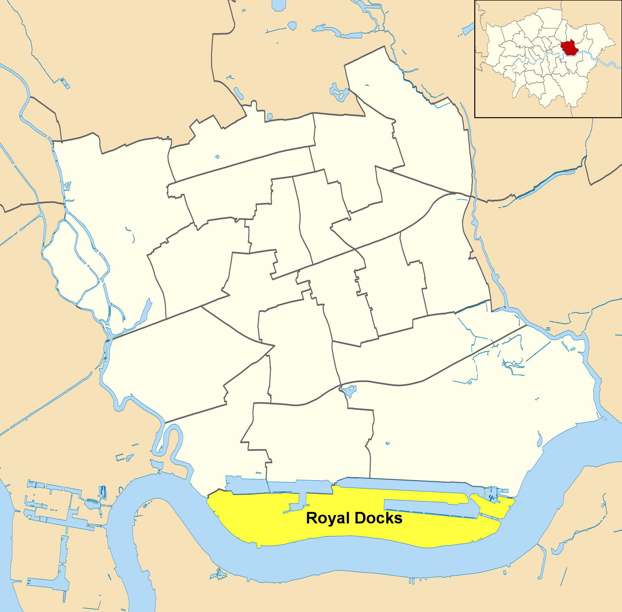
Royal Docks is an area and a ward in the London Borough of Newham in the London Docklands in East London, England. The area is named after three docks – the Royal Albert Dock, the Royal Victoria Dock and the King George V Dock. They are more correctly called the Royal Group of Docks to distinguish them from the Royal Dockyards, Royal being due to their naming after members of the royal family rather than Crown ownership. The three docks collectively formed the largest enclosed docks in the world, with a water area of nearly and an overall estate of . This is equivalent to the whole of central London from Hyde Park to Tower Bridge. The area was designated a special enterprise zone in 2012. North Woolwich is part of Royal Docks ward. Royal Docks is also a ward of the London Borough of Newham. At the 2011 Census it had a population of 10,679. History The three docks were completed between 1855 and 1921 on riverside marshes in East Ham and West Ham (now the London Boro ... [...More Info...] [...Related Items...] OR: [Wikipedia] [Google] [Baidu] |
Lesnes Abbey
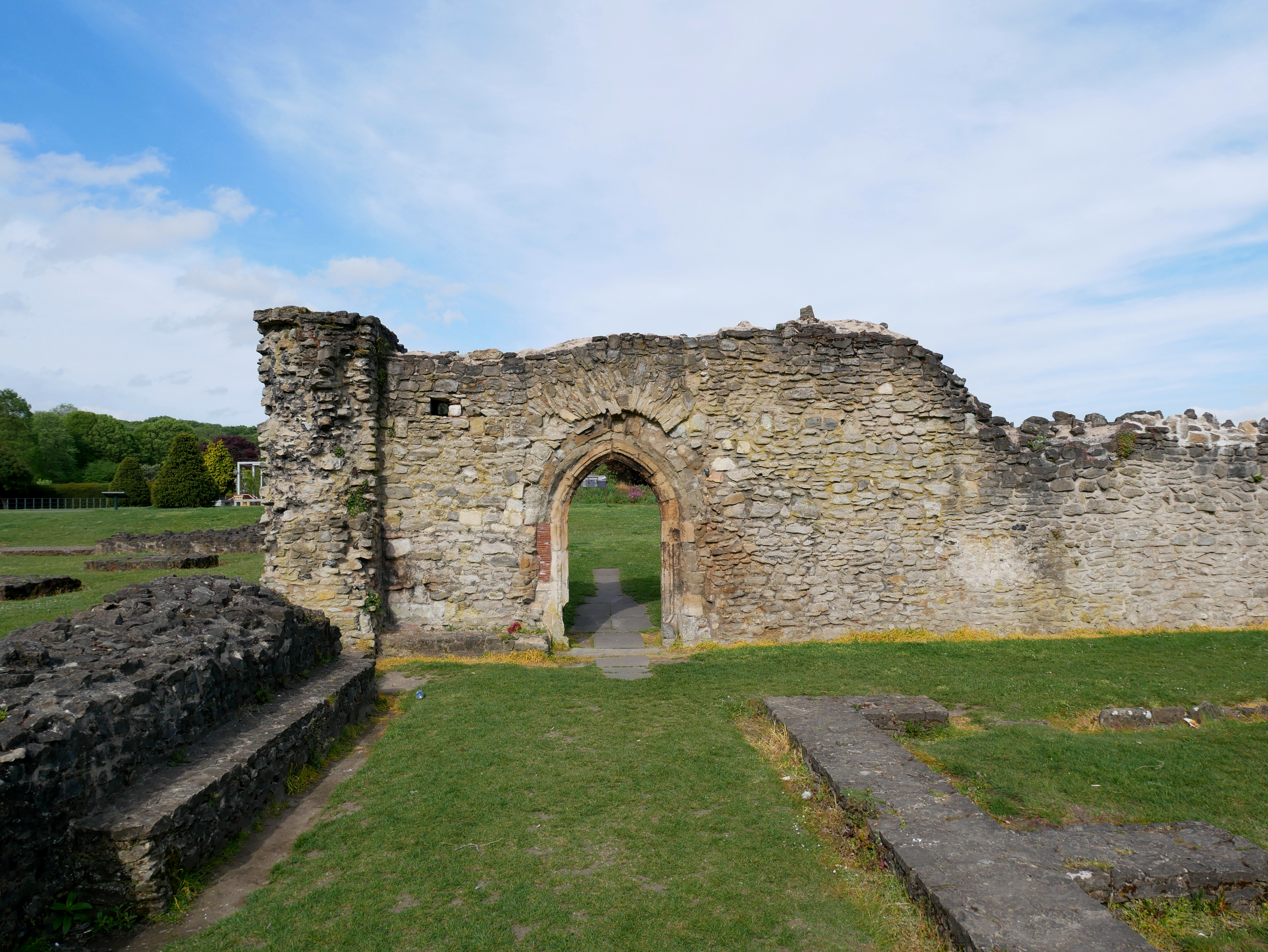
Lesnes Abbey is a former abbey, now ruined, in Abbey Wood, in the London Borough of Bexley, southeast London, England. It is a scheduled monument, and the abbey's ruins are listed at Grade II by Historic England. The adjacent Lesnes Abbey Woods are a Local Nature Reserve. Part of the wood is the Abbey Wood SSSI, a geological Site of Special Scientific Interest which is an important site for early Tertiary fossils. History After the Norman Conquest in 1066, the area of Lesnes, close to the town of Erith, passed into the possession of Bishop Odo, and was mentioned in the Domesday Book of 1086 as ''Loisnes'' in the Hundred of '' Litlelai''. The year 1178 saw the foundation of the Abbey of St Mary and St Thomas the Martyr at Lesnes. Lesnes Abbey, as it is now known, was founded by Richard de Luci, Chief Justiciar of England, in 1178. This may have been in penance for the murder of Thomas Becket, in which he was involved. In 1179, de Luci resigned his office and retired to th ... [...More Info...] [...Related Items...] OR: [Wikipedia] [Google] [Baidu] |
West Ham
West Ham is an area in East London, located east of Charing Cross in the west of the modern London Borough of Newham. The area, which lies immediately to the north of the River Thames and east of the River Lea, was originally an ancient parish formed to serve parts of the older Manor of Ham, and it later became a County Borough. The district, part of the historic county of Essex, was an administrative unit, with largely consistent boundaries, from the 12th century to 1965, when it merged with neighbouring areas to become the western part of the new London Borough of Newham. The area of the parish and borough included not just central West Ham area, just south of Stratford; but also the sub-districts of Stratford, Canning Town, Plaistow, Custom House, Silvertown, Forest Gate and the western parts of Upton Park, which is shared with East Ham. The district was historically dependent on its docks and other maritime trades, while the inland industrial concentrations ... [...More Info...] [...Related Items...] OR: [Wikipedia] [Google] [Baidu] |


