|
Teviot, Queensland
Croftby is a rural locality in the Scenic Rim Region, Queensland, Australia. In the , Croftby had a population of 133 people. The town of Teviot is within the locality (). Geography Croftby has the following mountains: * Mount Minto (also known as Coweemoorabung) in the north-west of the locatity () rising to * Mount Moon (also known as Kibbobum) in the north-east of the locality () rising to Mount Minto is part of the Teviot Range which extends into the neighbouring localities of Moggerah and Mount Alford. Teviot Brook enters the locality from the south-west ( Carneys Creek) and exits to the north-east ( Coochin). Carneys Creek Road enters the locality from the south-west (Carneys Creek) just to the north of Teviot Brook and continues north of the creek until the road crosses the creek in the centre of the locality where the town of Teviot is located. The road then continues to the south of the creek until it exits to the north-east (Coochin). As at 2020, there is litt ... [...More Info...] [...Related Items...] OR: [Wikipedia] [Google] [Baidu] |
AEST
Australia uses three main time zones: Australian Western Standard Time (AWST; UTC+08:00), Australian Central Standard Time (ACST; UTC+09:30), and Australian Eastern Standard Time (AEST; UTC+10:00). Time is regulated by the individual state governments, some of which observe daylight saving time (DST). Australia's external territories observe different time zones. Standard time was introduced in the 1890s when all of the Australian colonies adopted it. Before the switch to standard time zones, each local city or town was free to determine its local time, called local mean time. Now, Western Australia uses Western Standard Time; South Australia and the Northern Territory use Central Standard Time; while New South Wales, Queensland, Tasmania, Victoria (Australia), Victoria, Jervis Bay Territory, and the Australian Capital Territory use Eastern Standard Time. Daylight saving time (+1 hour) is used in jurisdictions in the south and south-east: South Australia, New South Wales, Vict ... [...More Info...] [...Related Items...] OR: [Wikipedia] [Google] [Baidu] |
Moogerah, Queensland
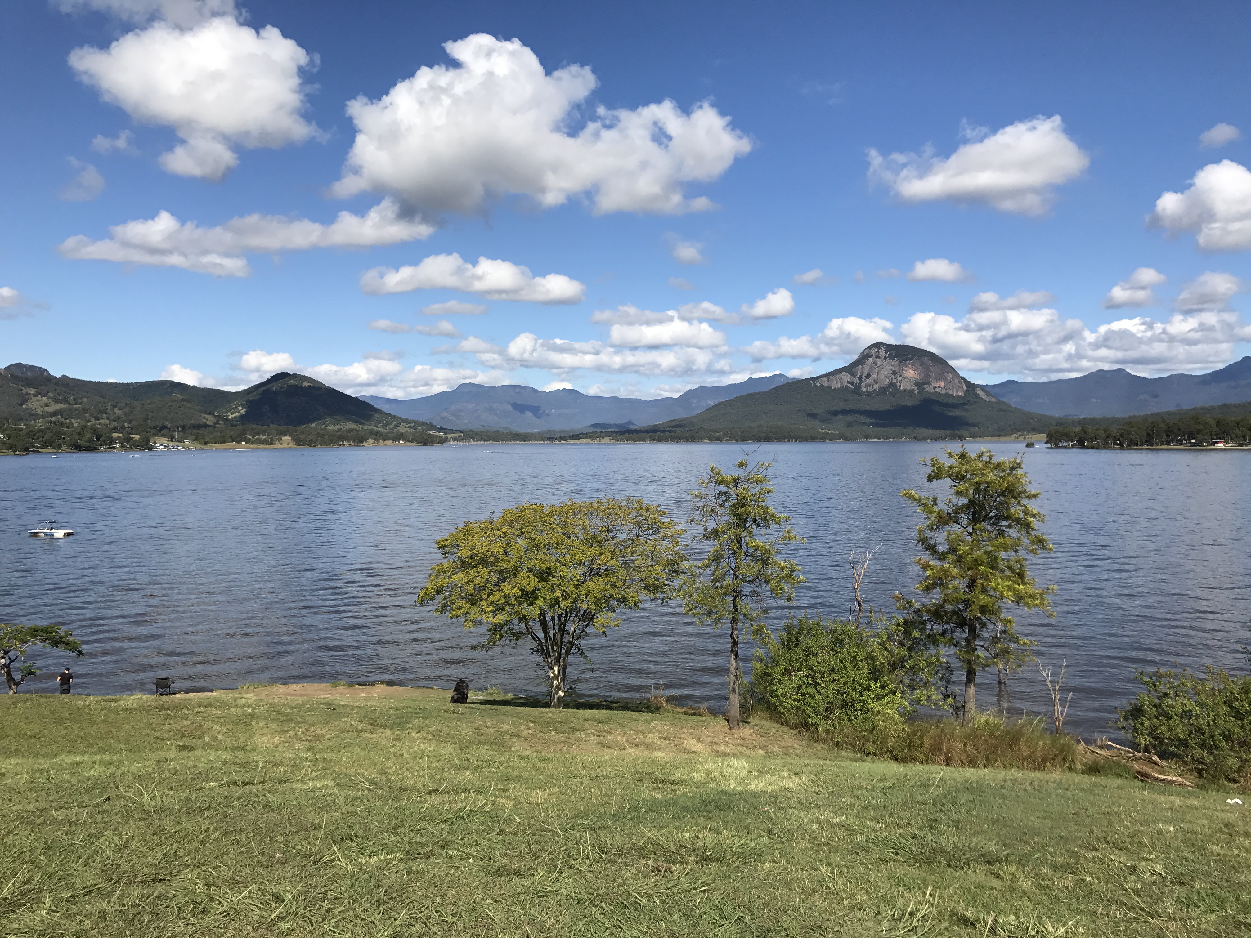
Moogerah is a rural locality in the Scenic Rim Region, Queensland, Australia. In the , Moogerah had a population of 234 people. Geography The Moogerah Dam () and its reservoir, Lake Moogerah () are located in the north of the locality. The lake is fed by Reynolds Creek. Moogerah has the following mountains: * Mount Alford (Teenaryvilla) () * Mount Asplenium () * Mount Greville (Meebalboogan) () * Mount Neilson () * Panorama Point () * The Bluff () History The name ''Moogerah'' was used by Yuggera people, meaning ''thunder''. In 1906, dairy farms of were sold as the Moogera Paddock estate. The estate was centred around the confluence of Coulsen's and Reynold's Creek, land which is now under the Moogerah Dam. One of the advertised benefits of the estate was its proximity to the proposed Via Recta railway (a "straight" route from Brisbane to Sydney Sydney ( ) is the capital city of the state of New South Wales, and the most populous city in both Australia and ... [...More Info...] [...Related Items...] OR: [Wikipedia] [Google] [Baidu] |
Queensland Family History Society
The Queensland Family History Society (QFHS) is an incorporated association formed in Brisbane, Queensland, Australia. History The society was established in 1979 as a non-profit, non-sectarian, non-political organisation. They aim to promote the study of family history local history, genealogy, and heraldry, and encourage the collection and preservation of records relating to the history of Queensland families. At the end of 2022, the society relocated from 58 Bellevue Avenue, Gaythorne Gaythorne is a suburb in the City of Brisbane, Queensland, Australia. In the , Gaythorne had a population of 3,023 people. Geography Gaythorne is located seven kilometres north-west of the Brisbane central business district. It is bounded to ... () to its new QFHS Family History Research Centre at 46 Delaware Street, Chermside (). References External links * Non-profit organisations based in Queensland Historical societies of Australia Libraries in Brisbane Family hist ... [...More Info...] [...Related Items...] OR: [Wikipedia] [Google] [Baidu] |
Dugandan Railway Line
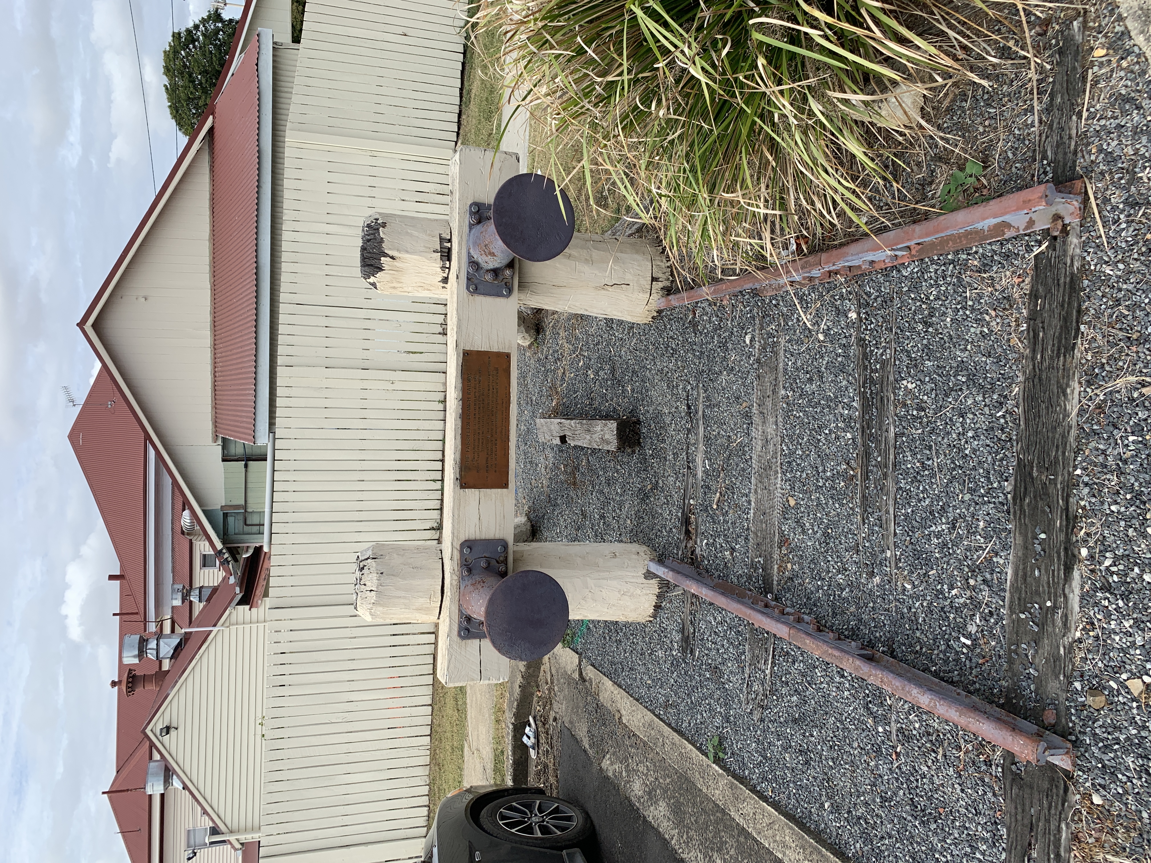
The Dugandan railway line was a branch railway in the Scenic Rim region of South East Queensland, Australia. It was also known as the Fassifern railway line. It operated from 1882 to 1964. Geography The line began west of Ipswich station on the Main Line 39 km west of Brisbane and proceeded generally southward for approximately 50 km to the locality of Dugandan now part of the urban settlement of Boonah. History Residents in the Fassifern Valley petitioned the Queensland Government to build a railway line to their district, and the first section was opened on 10 July 1882 as far as Harrisville. This is considered to be Queensland's first branch railway. The branch was extended to Dugandan on 12 September 1887. The Mount Edwards branch line branched off the Dugandan line at Munbilla. The Mount Edwards line opened to Kalbar on 17 April 1916 and to Mount Edwards on 7 October 1922. The Mount Edwards line closed in 1960. During its life, the Dugandan branch c ... [...More Info...] [...Related Items...] OR: [Wikipedia] [Google] [Baidu] |
Crown Land
Crown land (sometimes spelled crownland), also known as royal domain, is a territorial area belonging to the monarch, who personifies the Crown. It is the equivalent of an entailed estate and passes with the monarchy, being inseparable from it. Today, in Commonwealth realms such as Canada and Australia, crown land is considered public land and is apart from the monarch's private estate. In Britain, the hereditary revenues of Crown lands provided income for the monarch until the start of the reign of George III, when the profits from the Crown Estate were surrendered to the Parliament of Great Britain in return for a fixed civil list payment. The monarch retains the income from the Duchy of Lancaster. Australia In Australia, public lands without a specific tenure (e.g. National Park or State Forest) are referred to as Crown land or State Land, which is described as being held in the "right of the Crown" of either an individual State or the Commonwealth of Australia; there is ... [...More Info...] [...Related Items...] OR: [Wikipedia] [Google] [Baidu] |
Queensland Times, Ipswich Herald And General Advertiser
''The Queensland Times'' is an online newspaper serving Ipswich and surrounds in Queensland, Australia. The newspaper is owned by News Corp Australia. The circulation of ''The Queensland Times'' is 10,804 Monday to Friday and 14,153 on Saturday. ''The Queensland Times'' is circulated to the Ipswich city area (all residential suburbs including the new the suburbs Springfield, Springfield Lakes and Brookwater) and the Ipswich rural area including Harrisville, Rosewood, Queensland, Rosewood, Laidley, Queensland, Laidley, Forest Hill, Queensland, Forest Hill, Lowood, Queensland, Lowood, Boonah, Queensland, Boonah, Aratula, Queensland, Aratula, Gatton, Queensland, Gatton, Esk, Queensland, Esk and Toogoolawah, Queensland, Toogoolawah. ''The Queensland Times'' website is part of the APN Regional News Network. History ''The Queensland Times'' is the oldest surviving provincial paper in Queensland. Founded on 4 July 1859 as the ''Ipswich Herald'', it has continued ever since. Until a ... [...More Info...] [...Related Items...] OR: [Wikipedia] [Google] [Baidu] |
Queensland Postmaster General
) , nickname = Sunshine State , image_map = Queensland in Australia.svg , map_caption = Location of Queensland in Australia , subdivision_type = Country , subdivision_name = Australia , established_title = Before federation , established_date = Colony of Queensland , established_title2 = Separation from New South Wales , established_date2 = 6 June 1859 , established_title3 = Federation of Australia, Federation , established_date3 = 1 January 1901 , named_for = Queen Victoria , demonym = , capital = Brisbane , largest_city = capital , coordinates = , admin_center_type = Administration , admin_center = Local government areas of Queensland, 77 local government areas , leader_title1 = Monarchy of Australia, Monarch , leader_name1 = Charles III , leader_title2 = Governor of Queensland, Governor , leader_name2 = Jeannette Young , leader_title3 = Premier of Queensland, Premier , leader_name3 = Annastacia Palaszczuk (Australian Labor Party (Queensland Branch), AL ... [...More Info...] [...Related Items...] OR: [Wikipedia] [Google] [Baidu] |
Queensland Government
The Queensland Government is the democratic administrative authority of the Australian state of Queensland. The Government of Queensland, a parliamentary constitutional monarchy was formed in 1859 as prescribed in its Constitution, as amended from time to time. Since the Federation of Australia in 1901, Queensland has been a State of Australia, with the Constitution of Australia regulating the relationships between all state and territory governments and the Australian Government. Under the Australian Constitution, all states and territories (including Queensland) ceded powers relating to certain matters to the federal government. The government is influenced by the Westminster system and Australia's federal system of government. The Governor of Queensland, as the representative of Charles III, King of Australia, holds nominal executive power, although in practice only performs ceremonial duties. In practice executive power lies with the Premier and Cabinet. The Cabinet of ... [...More Info...] [...Related Items...] OR: [Wikipedia] [Google] [Baidu] |
Queensland
) , nickname = Sunshine State , image_map = Queensland in Australia.svg , map_caption = Location of Queensland in Australia , subdivision_type = Country , subdivision_name = Australia , established_title = Before federation , established_date = Colony of Queensland , established_title2 = Separation from New South Wales , established_date2 = 6 June 1859 , established_title3 = Federation , established_date3 = 1 January 1901 , named_for = Queen Victoria , demonym = , capital = Brisbane , largest_city = capital , coordinates = , admin_center_type = Administration , admin_center = 77 local government areas , leader_title1 = Monarch , leader_name1 = Charles III , leader_title2 = Governor , leader_name2 = Jeannette Young , leader_title3 = Premier , leader_name3 = Annastacia Palaszczuk ( ALP) , legislature = Parliament of Queensland , judiciary = Supreme Court of Queensland , national_representation = Parliament of Australia , national_representation_type ... [...More Info...] [...Related Items...] OR: [Wikipedia] [Google] [Baidu] |
Scenic Rim Region
The Scenic Rim Region is a local government area in West Moreton region of South East Queensland, Australia. Established in 2008, it was preceded by several previous local government areas with histories extending back to the early 1900s and beyond. The main town of the region is Beaudesert. It has an estimated operating budget of A$33 million. History Prior to 2008, the new Scenic Rim Region was an entire area of three previous and distinct local government areas: * the Shire of Boonah; * the southern part of the Shire of Beaudesert; * and the Harrisville and Peak Crossing areas from the City of Ipswich. In July 2007, the Local Government Reform Commission released its report and recommended that the areas amalgamate. It identified a rural community of interest as well as ecotourism potential from the Scenic Rim, a group of mountain ranges forming part of the Great Dividing Range, and recommended the transfer of the entire urban growth corridor previously within ... [...More Info...] [...Related Items...] OR: [Wikipedia] [Google] [Baidu] |
Suburbs And Localities (Australia)
Suburbs and localities are the names of geographic subdivisions in Australia, used mainly for address purposes. The term locality is used in rural areas, while the term suburb is used in urban areas. Australian postcodes closely align with the boundaries of localities and suburbs. This Australian usage of the term "suburb" differs from common American and British usage, where it typically means a smaller, frequently separate residential community outside, but close to, a larger city. The Australian usage is closer to the American or British use of "district" or "neighbourhood", and can be used to refer to any portion of a city. Unlike the use in British or American English, this term can include inner-city, outer-metropolitan and industrial areas. Localities existed in the past as informal units, but in 1996 the Intergovernmental Committee on Surveying and Mapping and the Committee for Geographical Names in Australasia (CGNA) decided to name and establish official boundarie ... [...More Info...] [...Related Items...] OR: [Wikipedia] [Google] [Baidu] |
Carneys Creek, Queensland
Carneys Creek is a rural locality in the Scenic Rim Region, Queensland, Australia. In the , Carneys Creek had a population of 51 people. It borders New South Wales. Geography Teviot Brook rises in the south-west of the locality near Mount Superbus and then flows through the locality exiting to the north-east ( Croftby). The watercourse Carneys Creek rises in the south of the locality and flows northward, becoming a tributary of Teviot Brook () in the north of the locality. There are a number of mountains within the locality, including : * Mount Bell () * Mount Roberts () * Mount Superbus () * Toowoonan Mount () * Wilsons Peak (Jirramun) () The south, south-west and west of the locality are within the Main Range National Park. Carneys Creek Road enters the locality from the north-east (Croftby) and then loosely follows the course of the watercourse Carneys Creek to the New South Wales border where it terminates. Head Road splits from Carneys Creek Road in the north of ... [...More Info...] [...Related Items...] OR: [Wikipedia] [Google] [Baidu] |


