|
Tesseney
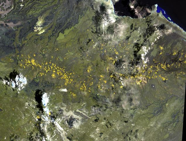
Teseney ( ar, تسني, ti, ተሰነይ), also spelled Tessenei or Tesseney, is a market town in western Eritrea. It lies south-east of Kassala in Sudan, on the Gash River. The city was much fought over in the Eritrean War of Independence during which much of it was destroyed. After the war, Tessenei has become a governmental administrative center with customs and agricultural offices and a military base. Overview Teseney is located 45 kilometers from the Sudanese border and approximately 115 kilometers beyond Barentu administrative or central administration of Gash Barka region. It is considered a frontier town on western Eritrea and many calls a land port because of its location and movements of people and goods from Sudan to Eritrea and vice versa. The town is made up of people of various ethnic backgrounds and most used language is the Arabic language because of the border and most of the people get back home from Sudan (people who left Eritrea due to the War with Ethi ... [...More Info...] [...Related Items...] OR: [Wikipedia] [Google] [Baidu] |
Regions Of Eritrea
The regions of Eritrea are the primary geographical divisions through which Eritrea is administered. Six in total, they include the Central, Anseba, Gash-Barka, Southern, Northern Red Sea and Southern Red Sea regions. At the time of independence in 1993 Eritrea was arranged into ten provinces. These provinces were similar to the nine provinces operating during the colonial period. In 1996, these were consolidated into six regions (''zobas''). Gash-Barka Region was the largest and the most densely populated region and is called the "bread-basket". The People's Front for Democracy and Justice or PFDJ (originally Eritrean People's Liberation Front) rules the country and its regions as a single-party totalitarian government. The regional and local elections are conducted on a periodic basis on a restricted framework. All men and women of any ethnic or religious background are eligible to vote. No parties or groups other than PFDJ are allowed to contest and the elections are presid ... [...More Info...] [...Related Items...] OR: [Wikipedia] [Google] [Baidu] |
Gash-Barka Region
Gash-Barka ( ti, ጋሽ-ባርካ, it, Regione di Gasc-Barca) is an administrative region of Eritrea. It is situated in the south-west of the country, bordering the Anseba region to the north, and the Maekel (Central) and Debub (Southern) regions to the east; the country of Sudan lies to the west and Ethiopia to the south. The capital of Gash-Barka is Barentu. Other towns include Agordat (the former capital), Molki, Sebderat and Teseney. As of 2005, the region had a population of 708,800 compared to a population of 625,100 in 2001. The net growth rate was 11.81 per cent. The total area of the province was 33,200 km2 and the density was 21.35 persons per km2., making up roughly one-third of Eritrea. The region is dubbed as the "breadbasket" of the country as it is rich in agriculture. The region is also rich in marble, and other important minerals, including gold. In Ougaro, there are some old mineshafts and machinery from the days when the Italians mined gold there. Ge ... [...More Info...] [...Related Items...] OR: [Wikipedia] [Google] [Baidu] |
Countries Of The World
The following is a list providing an overview of sovereign states around the world with information on their status and recognition of their sovereignty. The 206 listed states can be divided into three categories based on membership within the United Nations System: 193 member states of the United Nations, UN member states, 2 United Nations General Assembly observers#Present non-member observers, UN General Assembly non-member observer states, and 11 other states. The ''sovereignty dispute'' column indicates states having undisputed sovereignty (188 states, of which there are 187 UN member states and 1 UN General Assembly non-member observer state), states having disputed sovereignty (16 states, of which there are 6 UN member states, 1 UN General Assembly non-member observer state, and 9 de facto states), and states having a political status of the Cook Islands and Niue, special political status (2 states, both in associated state, free association with New Zealand). Compi ... [...More Info...] [...Related Items...] OR: [Wikipedia] [Google] [Baidu] |
Hectares
The hectare (; SI symbol: ha) is a non-SI metric unit of area equal to a square with 100-metre sides (1 hm2), or 10,000 m2, and is primarily used in the measurement of land. There are 100 hectares in one square kilometre. An acre is about and one hectare contains about . In 1795, when the metric system was introduced, the ''are'' was defined as 100 square metres, or one square decametre, and the hectare ("hecto-" + "are") was thus 100 ''ares'' or km2 (10,000 square metres). When the metric system was further rationalised in 1960, resulting in the International System of Units (), the ''are'' was not included as a recognised unit. The hectare, however, remains as a non-SI unit accepted for use with the SI and whose use is "expected to continue indefinitely". Though the dekare/decare daa (1,000 m2) and are (100 m2) are not officially "accepted for use", they are still used in some contexts. Description The hectare (), although not a unit of SI, is ... [...More Info...] [...Related Items...] OR: [Wikipedia] [Google] [Baidu] |
Aligider
Ali Ghider ( ar, علي قدر) is located nine kilometers to the west of Teseney in the country of Eritrea. It is part of the Teseney sub-zone and has a diverse population. It is considered the last settlement in Eritrea before reaching the Sudanese Border and is located in the lowlands. Agriculture, livestock raising and trade are very important to the economy of the area. Ali Ghider has access to potable water from both the Gash River and underground water resources. Processes of irrigation have created an artificial marsh near the Gash River which provides a large habitat for many bird species. Ali Ghider was once an Italian frontier village. Ali Ghider was an agricultural area, growing cotton and other crops, and managed by the Societa Impresse Africana (SIA). SIA helped develop Ali Ghider into a company town, housing tenant farmers and other workers on the plantation. A school and clinic were set up and by the 1950s, the plantation employed 2,000 Eritreans, 15 Italians and ... [...More Info...] [...Related Items...] OR: [Wikipedia] [Google] [Baidu] |
Adansonia Digitata
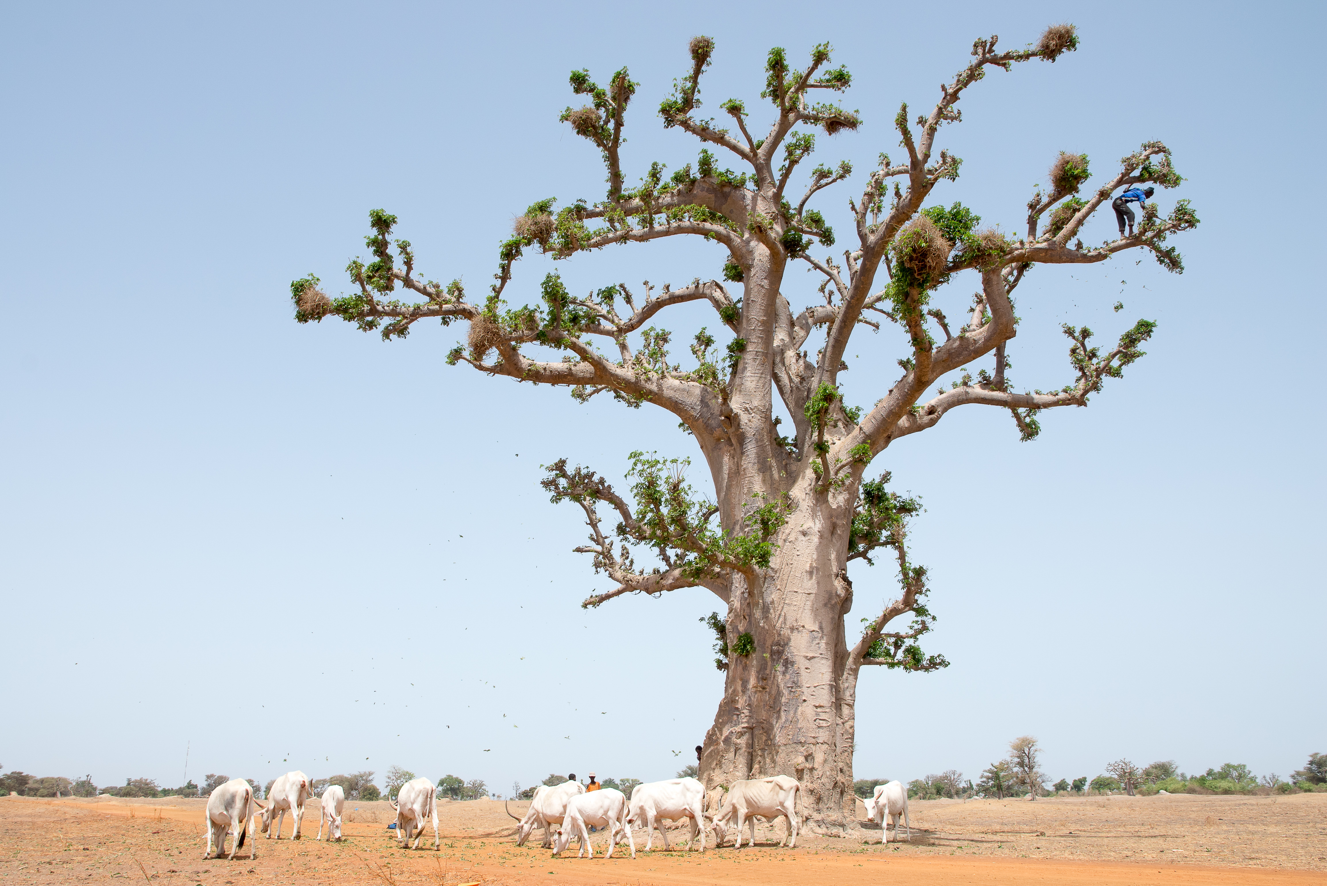
''Adansonia digitata'', the African baobab, is the most widespread tree species of the genus ''Adansonia'', the baobabs, and is native to the African continent and the southern Arabian Peninsula (Yemen, Oman). These are long-lived pachycauls; radiocarbon dating has shown some individuals to be over 2,000 years old. They are typically found in dry, hot savannas of sub-Saharan Africa, where they dominate the landscape and reveal the presence of a watercourse from afar. They have traditionally been valued as sources of food, water, health remedies or places of shelter and are a key food source for many animals. They are steeped in legend and superstition. In recent years, many of the largest, oldest trees have died, possibly due to climate change. Common names for the baobab include monkey-bread tree, upside-down tree, and cream of tartar tree. Description African baobabs are trees that often grow as solitary individuals, and are large and distinctive elements of savanna or scrubla ... [...More Info...] [...Related Items...] OR: [Wikipedia] [Google] [Baidu] |
Somalis
The Somalis ( so, Soomaalida 𐒈𐒝𐒑𐒛𐒐𐒘𐒆𐒖, ar, صوماليون) are an ethnic group native to the Horn of Africa who share a common ancestry, culture and history. The Lowland East Cushitic Somali language is the shared mother tongue of ethnic Somalis, which is part of the Cushitic branch of the Afroasiatic language family, and are predominantly Sunni Muslim.Mohamed Diriye Abdullahi, ''Culture and Customs of Somalia'', (Greenwood Press: 2001), p.1 They form one of the largest ethnic groups on the African continent, and cover one of the most expansive landmasses by a single ethnic group in Africa. According to most scholars, the ancient Land of Punt and its native inhabitants formed part of the ethnogenesis of the Somali people. An ancient historical kingdom where a great portion of their cultural traditions and ancestry has been said to derive from.Egypt: 3000 Years of Civilization Brought to Life By Christine El MahdyAncient perspectives on Egypt By R ... [...More Info...] [...Related Items...] OR: [Wikipedia] [Google] [Baidu] |
Beni Amer
The Beni-Amer, also known as Beni-Amir (, ) (sometimes simply as Amer or Nabtab), are a population inhabiting northeast Africa. They are considered by some to comprise a subgroup of the Beja people. They live in eastern Sudan and Eritrea. They are mostly Muslim and constitute the largest tribal confederation in Eritrea. Demographics and distribution Some 300,000 people in northeastern Africa belong to the Beni-Amer ethnic group. They live near the Red Sea around the borders of Eritrea and Sudan. The majority having settled permanently in Sudan or mixed into the larger pastoralist communities of Eritrea. The Beni-Amer people probably emerged in the fourteenth century AD from the intermixing of the Beja and the Tigre. The Beni-Amer occupy the borders between much of Eritrea's Barka valley, Port Sudan Tokar, and the Kassala areas of eastern Sudan. History The Beni-Amer people became politically significant in the 16th-century when their founder Amer Kunu – the son of a Musl ... [...More Info...] [...Related Items...] OR: [Wikipedia] [Google] [Baidu] |
Nigeria
Nigeria ( ), , ig, Naìjíríyà, yo, Nàìjíríà, pcm, Naijá , ff, Naajeeriya, kcg, Naijeriya officially the Federal Republic of Nigeria, is a country in West Africa. It is situated between the Sahel to the north and the Gulf of Guinea to the south in the Atlantic Ocean. It covers an area of , and with a population of over 225 million, it is the most populous country in Africa, and the world's sixth-most populous country. Nigeria borders Niger in the north, Chad in the northeast, Cameroon in the east, and Benin in the west. Nigeria is a federal republic comprising of 36 states and the Federal Capital Territory, where the capital, Abuja, is located. The largest city in Nigeria is Lagos, one of the largest metropolitan areas in the world and the second-largest in Africa. Nigeria has been home to several indigenous pre-colonial states and kingdoms since the second millennium BC, with the Nok civilization in the 15th century BC, marking the first ... [...More Info...] [...Related Items...] OR: [Wikipedia] [Google] [Baidu] |
Hausa People
The Hausa ( autonyms for singular: Bahaushe ( m), Bahaushiya ( f); plural: Hausawa and general: Hausa; exonyms: Ausa; Ajami: ) are the largest native ethnic group in Africa. They speak the Hausa language, which is the second most spoken language after Arabic in the Afro-Asiatic language family. The Hausa are a diverse but culturally homogeneous people based primarily in the Sahelian and the sparse savanna areas of southern Niger and northern Nigeria respectively, numbering around 83 million people with significant indigenized populations in Benin, Cameroon, Ivory Coast, Chad, Sudan, Central African Republic, Republic of the Congo, Togo, Ghana, Eritrea, Equatorial Guinea, Gabon, Senegal and the Gambia. Predominantly Hausa-speaking communities are scattered throughout West Africa and on the traditional Hajj route north and east traversing the Sahara, with an especially large population in and around the town of Agadez. Other Hausa have also moved to large coastal cities in the re ... [...More Info...] [...Related Items...] OR: [Wikipedia] [Google] [Baidu] |


