|
Terapon Jarbua
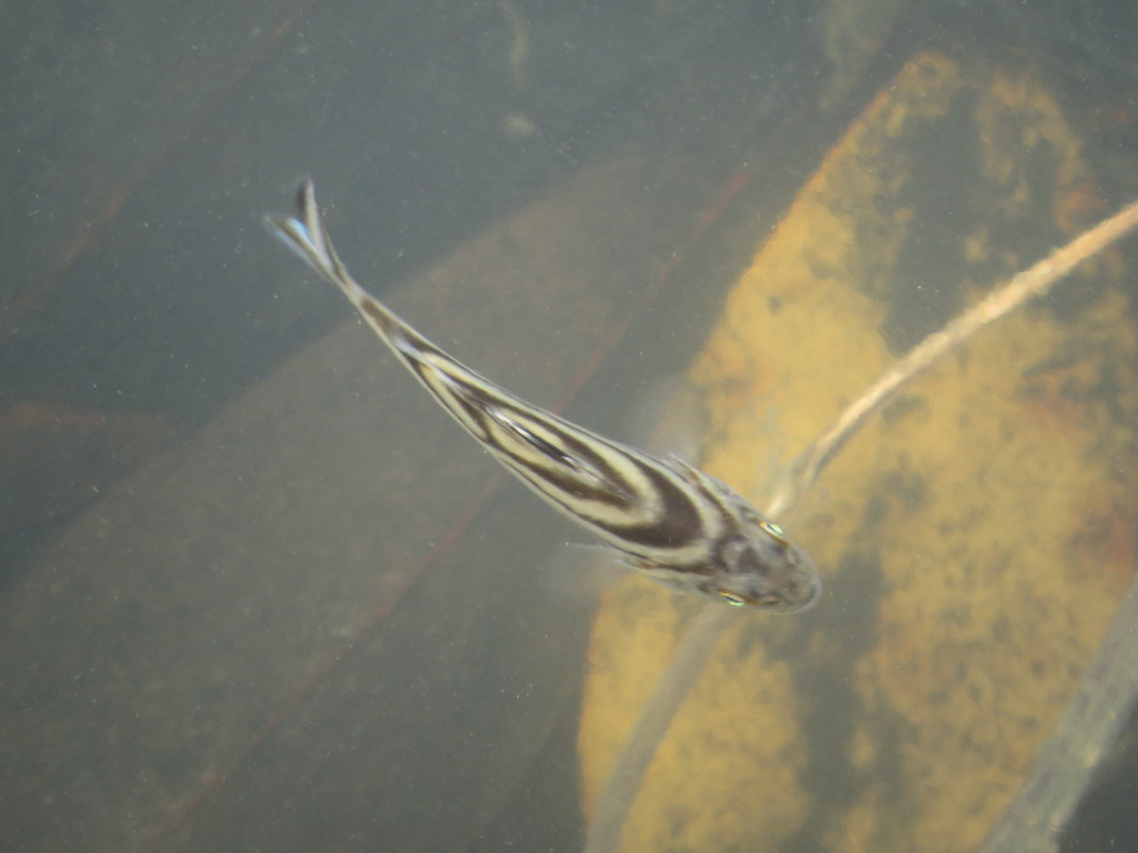
''Terapon jarbua'', the jarbua terapon, crescent grunter, crescent banded grunter, crescent perch, spiky trumpeter, thornfish or tiger perch, is a species of ray-finned fish, a grunter of the family Terapontidae. It occurs in the Indo-Pacific. it is an important commercial species within its range and is sometimes found in the aquarium trade where it is known as "target fish" for the pattern visible from above. Description ''Terapon jarbua'' is a medium-sized grunter with an oblong body which is moderately laterally compressed. The oblique mouth is oblique with the jaws being of equal length and the maxilla reached the level of the front edge of the eye in juveniles and the centre of the eye in adults. It has conical, slightly recurved teeth which are set in bands with those in the outer rows being much enlarged, there are teeth on the roof of the mouth in juveniles but in many adults these are absent. There are 11 or 12 spines in the dorsal fin and 9 to 11 rays, the spiny po ... [...More Info...] [...Related Items...] OR: [Wikipedia] [Google] [Baidu] |
Carsten Niebuhr
Carsten Niebuhr, or Karsten Niebuhr (17 March 1733 Lüdingworth – 26 April 1815 Meldorf, Dithmarschen), was a German mathematician, cartographer, and explorer in the service of Denmark. He is renowned for his participation in the Royal Danish Arabia Expedition (1761-1767). He was the father of the Danish-German statesman and historian Barthold Georg Niebuhr, who published an account of his father's life in 1817. Early life and education Niebuhr was born in Lüdingworth (now a part of Cuxhaven, Lower Saxony) in what was then Bremen-Verden. His father Barthold Niebuhr (1704-1749) was a successful farmer and owned his own property. Carsten and his sister were educated at home by a local school teacher, then he attended the Latin School in Otterndorf, near Cuxhaven. Originally Niebuhr had intended to become a surveyor, but in 1757 he went to the ''Georgia Augusta'' University of Göttingen, at this time Germany's most progressive institution of higher education. Niebuhr was pro ... [...More Info...] [...Related Items...] OR: [Wikipedia] [Google] [Baidu] |
Dorsal Fin
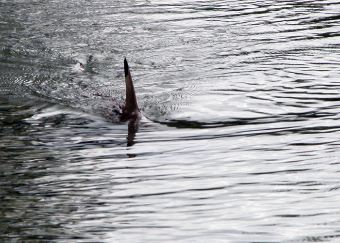
A dorsal fin is a fin located on the back of most marine and freshwater vertebrates within various taxa of the animal kingdom. Many species of animals possessing dorsal fins are not particularly closely related to each other, though through convergent evolution they have independently evolved external superficial fish-like body plans adapted to their marine environments, including most numerously fish, but also mammals such as cetaceans (whales, dolphins, and porpoises), and even extinct ancient marine reptiles such as various known species of ichthyosaurs. Most species have only one dorsal fin, but some have two or three. Wildlife biologists often use the distinctive nicks and wear patterns which develop on the dorsal fins of large cetaceans to identify individuals in the field. The bony or cartilaginous bones that support the base of the dorsal fin in fish are called ''pterygiophores''. Functions The main purpose of the dorsal fin is to stabilize the animal against rollin ... [...More Info...] [...Related Items...] OR: [Wikipedia] [Google] [Baidu] |
Cleaner Fish
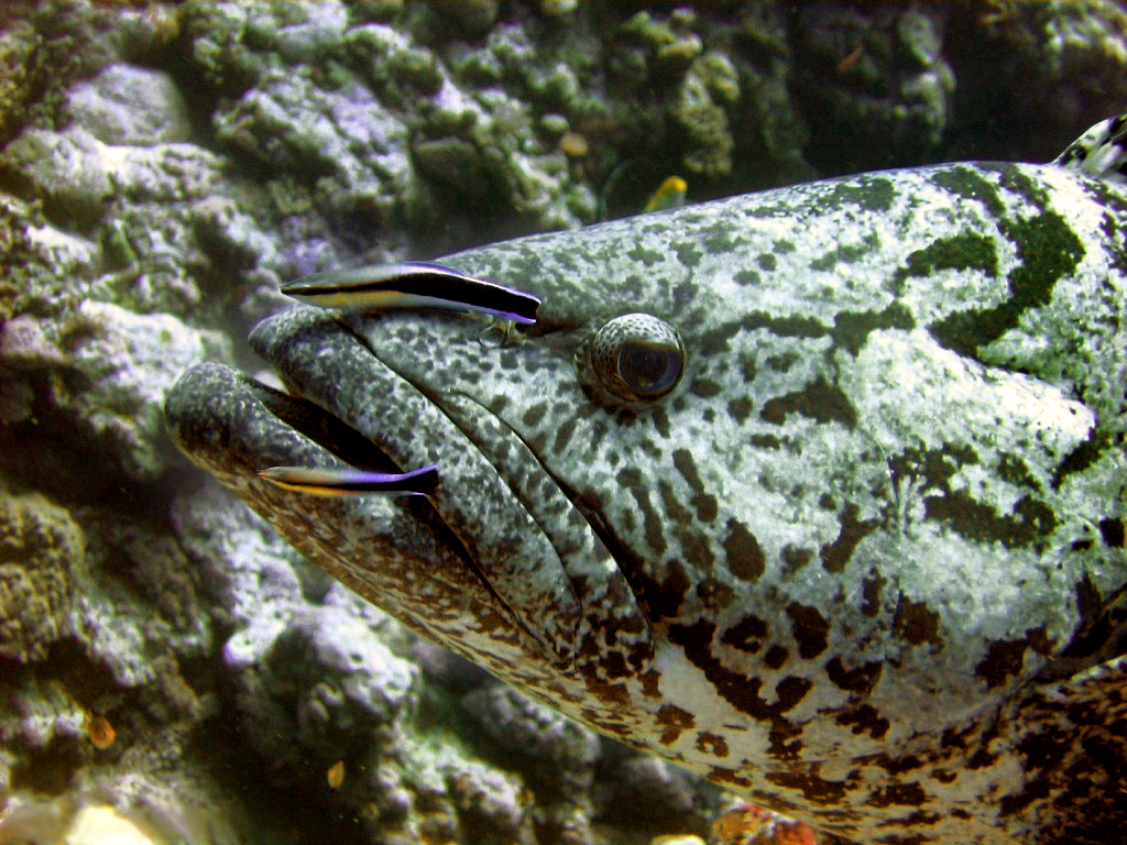
Cleaner fish are fish that show a specialist feeding strategy by providing a service to other species, referred to as clients, by removing dead skin, ectoparasites, and infected tissue from the surface or gill chambers. This example of cleaning symbiosis represents mutualism and cooperation behaviour, an ecological interaction that benefits both parties involved. However, the cleaner fish may consume mucus or tissue, thus creating a form of parasitism called cheating. The client animals are typically fish of a different species, but can also be aquatic reptiles (sea turtles and marine iguana), mammals (manatees and whales), or octopuses. A wide variety of fish including wrasse, cichlids, catfish, pipefish, lumpsuckers, and gobies display cleaning behaviors across the globe in fresh, brackish, and marine waters but specifically concentrated in the tropics due to high parasite density. Similar behaviour is found in other groups of animals, such as cleaner shrimps. There are two ... [...More Info...] [...Related Items...] OR: [Wikipedia] [Google] [Baidu] |
Euryhaline
Euryhaline organisms are able to adapt to a wide range of salinities. An example of a euryhaline fish is the molly (''Poecilia sphenops'') which can live in fresh water, brackish water, or salt water. The green crab (''Carcinus maenas'') is an example of a euryhaline invertebrate that can live in salt and brackish water. Euryhaline organisms are commonly found in habitats such as estuaries and tide pools where the salinity changes regularly. However, some organisms are euryhaline because their life cycle involves migration between freshwater and marine environments, as is the case with salmon and eels. The opposite of euryhaline organisms are stenohaline ones, which can only survive within a narrow range of salinities. Most freshwater organisms are stenohaline, and will die in seawater, and similarly most marine organisms are stenohaline, and cannot live in fresh water. Osmoregulation Osmoregulation is the active process by which an organism maintains its level of water cont ... [...More Info...] [...Related Items...] OR: [Wikipedia] [Google] [Baidu] |
Suez Canal
The Suez Canal ( arz, قَنَاةُ ٱلسُّوَيْسِ, ') is an artificial sea-level waterway in Egypt, connecting the Mediterranean Sea to the Red Sea through the Isthmus of Suez and dividing Africa and Asia. The long canal is a popular trade route between Europe and Asia. In 1858, Ferdinand de Lesseps formed the Suez Canal Company for the express purpose of building the canal. Construction of the canal lasted from 1859 to 1869. The canal officially opened on 17 November 1869. It offers vessels a direct route between the North Atlantic and northern Indian oceans via the Mediterranean Sea and the Red Sea, avoiding the South Atlantic and southern Indian oceans and reducing the journey distance from the Arabian Sea to London by approximately , or 10 days at to 8 days at . The canal extends from the northern terminus of Port Said to the southern terminus of Port Tewfik at the city of Suez. In 2021, more than 20,600 vessels traversed the canal (an average of 56 per day). T ... [...More Info...] [...Related Items...] OR: [Wikipedia] [Google] [Baidu] |
Lord Howe Island
Lord Howe Island (; formerly Lord Howe's Island) is an irregularly crescent-shaped volcanic remnant in the Tasman Sea between Australia and New Zealand, part of the Australian state of New South Wales. It lies directly east of mainland Port Macquarie, northeast of Sydney, and about southwest of Norfolk Island. It is about long and between wide with an area of , though just of that comprise the low-lying developed part of the island. Along the west coast is a sandy semi-enclosed sheltered coral reef lagoon. Most of the population lives in the north, while the south is dominated by forested hills rising to the highest point on the island, Mount Gower (). The Lord Howe Island Group comprises 28 islands, islets, and rocks. Apart from Lord Howe Island itself, the most notable of these is the volcanic and uninhabited Ball's Pyramid about to the southeast of Howe. To the north lies a cluster of seven small uninhabited islands called the Admiralty Group. The first repo ... [...More Info...] [...Related Items...] OR: [Wikipedia] [Google] [Baidu] |
Arafura Sea
The Arafura Sea (or Arafuru Sea) lies west of the Pacific Ocean, overlying the continental shelf between Australia and Western New Guinea (also called Papua), which is the Indonesian part of the Island of New Guinea. Geography The Arafura Sea is bordered by the Gulf of Carpentaria and the continent of Australia to the south, the Timor Sea to the west, the Banda and Seram seas to the northwest, and the Torres Strait to the east. (Just across the strait, farther to the east, lies the Coral Sea). The Arafura Sea is long and wide. The depth of the sea is in most places, with the depth increasing to the west. The sea lies over the Arafura Shelf, which is a section of the Sahul Shelf. When sea levels were low during the last glacial maximum, the Arafura Shelf, the Gulf of Carpentaria and the Torres Strait formed a large, flat, land bridge that connected Australia and New Guinea and eased the migration of humans from Asia into Australia. The combined landmass formed the continent of ... [...More Info...] [...Related Items...] OR: [Wikipedia] [Google] [Baidu] |
Samoan Islands
The Samoan Islands ( sm, Motu o Sāmoa) are an archipelago covering in the central South Pacific, forming part of Polynesia and of the wider region of Oceania. Administratively, the archipelago comprises all of the Independent State of Samoa and most of American Samoa (apart from Swains Island, which is geographically part of the Tokelau Islands). The land masses of the two Samoan jurisdictions are separated by of ocean at their closest points. The population of the Samoan Islands is approximately 250,000. The inhabitants have in common the Samoan language, a culture known as '' fa'a Samoa,'' and an indigenous form of governance called '' fa'amatai''. Samoans are one of the largest Polynesian populations in the world, and most are of exclusively Samoan ancestry. The oldest known evidence of human activity in the Samoan Islands dates to around 1050 BCE. It comes from a Lapita site at Mulifanua wharf on Upolu island. In 1768, the eastern islands were visited by the French ... [...More Info...] [...Related Items...] OR: [Wikipedia] [Google] [Baidu] |
Persian Gulf
The Persian Gulf ( fa, خلیج فارس, translit=xalij-e fârs, lit=Gulf of Persis, Fars, ), sometimes called the ( ar, اَلْخَلِيْجُ ٱلْعَرَبِيُّ, Al-Khalīj al-ˁArabī), is a Mediterranean sea (oceanography), mediterranean sea in Western Asia. The body of water is an extension of the Indian Ocean located between Iran and the Arabian Peninsula.United Nations Group of Experts on Geographical NameWorking Paper No. 61, 23rd Session, Vienna, 28 March – 4 April 2006. accessed October 9, 2010 It is connected to the Gulf of Oman in the east by the Strait of Hormuz. The Shatt al-Arab river delta forms the northwest shoreline. The Persian Gulf has many fishing grounds, extensive reefs (mostly rocky, but also Coral reef, coral), and abundant pearl oysters, however its ecology has been damaged by industrialization and oil spills. The Persian Gulf is in the Persian Gulf Basin, which is of Cenozoic origin and related to the subduction of the Arabian Plate u ... [...More Info...] [...Related Items...] OR: [Wikipedia] [Google] [Baidu] |
Red Sea
The Red Sea ( ar, البحر الأحمر - بحر القلزم, translit=Modern: al-Baḥr al-ʾAḥmar, Medieval: Baḥr al-Qulzum; or ; Coptic: ⲫⲓⲟⲙ ⲛ̀ϩⲁϩ ''Phiom Enhah'' or ⲫⲓⲟⲙ ⲛ̀ϣⲁⲣⲓ ''Phiom ǹšari''; Tigrinya: ቀይሕ ባሕሪ ''Qeyih Bahri''; ) is a seawater inlet of the Indian Ocean, lying between Africa and Asia. Its connection to the ocean is in the south, through the Bab el Mandeb strait and the Gulf of Aden. To its north lie the Sinai Peninsula, the Gulf of Aqaba, and the Gulf of Suez (leading to the Suez Canal). It is underlain by the Red Sea Rift, which is part of the Great Rift Valley. The Red Sea has a surface area of roughly 438,000 km2 (169,100 mi2), is about 2250 km (1398 mi) long, and — at its widest point — 355 km (220.6 mi) wide. It has an average depth of 490 m (1,608 ft), and in the central ''Suakin Trough'' it reaches its maximum depth of . The Red Sea also has exten ... [...More Info...] [...Related Items...] OR: [Wikipedia] [Google] [Baidu] |
Therapon Servus , a genus of fish
{{Disambig ...
Therapon may refer to: *Initial name for Zyzzyx, a genus of wasps *Junior homonym for Terapon ''Terapon'', also known as the grunters or Trumpeter (other), trumpeters is a genus of ray-finned fish in the Family (biology), family Terapontidae, the grunters. Its deprecated junior homonym is ''Therapon''. It was introduced since " ... [...More Info...] [...Related Items...] OR: [Wikipedia] [Google] [Baidu] |
Fish Measurement
Fish measurement is the measuring of individual fish and various parts of their anatomies. These data are used in many areas of ichthyology, including taxonomy and fisheries biology. Overall length * Standard length (SL) is the length of a fish measured from the tip of the snout to the posterior end of the last vertebra or to the posterior end of the midlateral portion of the hypural plate. Simply put, this measurement excludes the length of the caudal (tail) fin. * Total length (TL) is the length of a fish measured from the tip of the snout to the tip of the longer lobe of the caudal fin, usually measured with the lobes compressed along the midline. It is a straight-line measure, not measured over the curve of the body. Standard length measurements are used with Teleostei (most bony fish), while total length measurements are used with Myxini (hagfish), Petromyzontiformes (lampreys), and (usually) Elasmobranchii (sharks and rays), as well as some other fishes. Total length meas ... [...More Info...] [...Related Items...] OR: [Wikipedia] [Google] [Baidu] |


