|
Tennessee State Route 253
State Route 253 (SR 253), also known as Concord Road, is a west–east road located in Middle Tennessee. It is a secondary route that starts from Brentwood, Tennessee and ends just north of Nolensville, Tennessee, Nolensville. ''Tennessee Atlas & Gazetteer'' (Map) (2004 ed.). DeLorme. Route description SR 253 begins in Brentwood, Tennessee, Brentwood, in Williamson County, Tennessee, Williamson County with a junction with U.S. Route 31, US 31 (Tennessee State Route 6, SR 6). It intersects Interstate 65 in Tennessee, I-65 at the Exit 71 interchange. It ends in southern Davidson County, Tennessee, Davidson County at an intersection with Nolensville Road (U.S. Route 31A, US 31A/U.S. Route 41A, US 41A/Tennessee State Route 11, SR 11) just north of the Williamson/Davidson County line. Points of interest The following is a list of landmarks visible from SR 253. *WSM (AM), WSM radio transmitting facility and tower *Tower Park *Concord Park Major intersections References ... [...More Info...] [...Related Items...] OR: [Wikipedia] [Google] [Baidu] |
Tennessee Department Of Transportation
The Tennessee Department of Transportation (TDOT) is a multimodal agency with statewide responsibilities in roadways, aviation, public transit, waterways, and railroads. The mission of TDOT is to provide a safe and reliable transportation system for people, goods, and services that supports economic prosperity in Tennessee. Since 1998, TDOT has been ranked amongst the top five in the nation for quality highway infrastructure. It is primarily headquartered in downtown Nashville and operates four regional offices in Chattanooga, Jackson, Knoxville, and Nashville. Major responsibilities The major duties and responsibilities of TDOT are to: * plan, build, and maintain the state-owned highway and Interstate system of over ; * administer funding and provide technical assistance in the planning and construction of state and federal aid road programs for cities and counties; * provide incident management on Tennessee's Interstate system through TDOT SmartWay, an intelligent transport ... [...More Info...] [...Related Items...] OR: [Wikipedia] [Google] [Baidu] |
Brentwood, Tennessee
Brentwood is a city in Williamson County, Tennessee, United States. The population was 45,373 as of the 2020 United States census.U.S. Census QuickFacts, Brentwood, Tennessee . Accessed: 8 October 2015. It is a of Nashville and included in the Nashville metropolitan area. History Successive cultures of prehistoric Native Americans occupied this area for thousands of years. In the first millennium of the (CE),[...More Info...] [...Related Items...] OR: [Wikipedia] [Google] [Baidu] |
Nashville, Tennessee
Nashville is the capital city of the U.S. state of Tennessee and the seat of Davidson County. With a population of 689,447 at the 2020 U.S. census, Nashville is the most populous city in the state, 21st most-populous city in the U.S., and the fourth most populous city in the southeastern U.S. Located on the Cumberland River, the city is the center of the Nashville metropolitan area, which is one of the fastest growing in the nation. Named for Francis Nash, a general of the Continental Army during the American Revolutionary War, the city was founded in 1779. The city grew quickly due to its strategic location as a port on the Cumberland River and, in the 19th century, a railroad center. Nashville seceded with Tennessee during the American Civil War; in 1862 it was the first state capital in the Confederacy to be taken by Union forces. After the war, the city reclaimed its position and developed a manufacturing base. Since 1963, Nashville has had a consolidated city-co ... [...More Info...] [...Related Items...] OR: [Wikipedia] [Google] [Baidu] |
Williamson County, Tennessee
Williamson County is a county in the U.S. state of Tennessee. As of the 2020 United States census, the population was 247,726. The county seat is Franklin, and the county is located in Middle Tennessee. The county is named after Hugh Williamson, a North Carolina politician who signed the U.S. Constitution. Adjusted for relative cost of living, Williamson County is one of the wealthiest counties in the United States. Williamson County is part of the Nashville-Davidson– Murfreesboro– Franklin, TN Metropolitan Statistical Area. In the 19th century, tobacco and hemp were cultivated here, and planters also raised blooded livestock, including horses and cattle. History Pre-Civil War The Tennessee General Assembly created Williamson County on October 26, 1799, from a portion of Davidson County. This territory had long been inhabited by at least five Native American cultures, including the Cherokee, Chickasaw, Choctaw, Creek, and Shawnee. It is home to two Mississippian-per ... [...More Info...] [...Related Items...] OR: [Wikipedia] [Google] [Baidu] |
Davidson County, Tennessee
Davidson County is a county in the U.S. state of Tennessee. It is located in the heart of Middle Tennessee. As of the 2020 census, the population was 715,884, making it the second most populous county in Tennessee. Its county seat is Nashville, the state capital and largest city. Since 1963, the city of Nashville and Davidson County have had a consolidated government called the "Metropolitan Government of Nashville and Davidson County", commonly referred to as "Metro Nashville" or "Metro". Davidson County has the largest population in the 13-county Nashville-Davidson–Murfreesboro– Franklin Metropolitan Statistical Area, the state's most populous metropolitan area. Nashville has always been the region's center of commerce, industry, transportation, and culture, but it did not become the capital of Tennessee until 1827 and did not gain permanent capital status until 1843. History Davidson County is the oldest county in the 41-county region of Middle Tennessee. It dates t ... [...More Info...] [...Related Items...] OR: [Wikipedia] [Google] [Baidu] |
Middle Tennessee
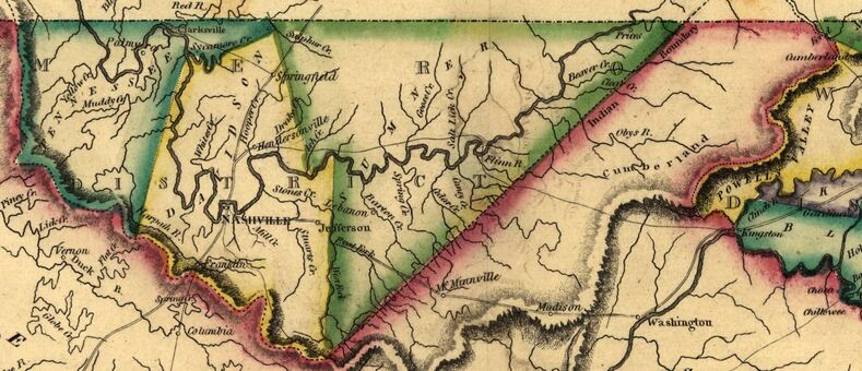
Middle Tennessee is one of the three Grand Divisions of the U.S. state of Tennessee that composes roughly the central portion of the state. It is delineated according to state law as 41 of the state's 95 counties. Middle Tennessee contains the state's capital and largest city, Nashville, as well as Clarksville, the state's fifth largest city, and Murfreesboro, the state's sixth largest city and largest suburb of Nashville. The Nashville metropolitan area, located entirely within the region, is the most populous metropolitan area in the state, and the Clarksville metropolitan area is the state's sixth most populous. Middle Tennessee is both the largest, in terms of land area, and the most populous of the state's three Grand Divisions. Geographically, Middle Tennessee is composed of the Highland Rim, which completely surrounds the Nashville Basin. The Cumberland Plateau is located in the eastern part of the region. Culturally, Middle Tennessee is considered part of the Uplan ... [...More Info...] [...Related Items...] OR: [Wikipedia] [Google] [Baidu] |
Nolensville, Tennessee
Nolensville is a town in Williamson County, Tennessee. Its population was 13,829 at the 2020 census. It was established in 1797 by William Nolen, a veteran of the American Revolutionary War. Located in Middle Tennessee, it is about 22 miles southeast of Nashville. The town was reincorporated in 1996. Geography Nolensville is located at (35.956786, -86.666967). According to the United States Census Bureau, the town has a total area of , all land. History This area was settled by European Americans after the American Revolutionary War, when pioneers began to move west of the Appalachian Mountains. William Nolen, a war veteran, his wife, Sarah, and their five children were passing through the area in 1797 when their wagon wheel broke. Surveying his surroundings, Nolen noted the rich soil and abundance of natural resources. He decided to settle here and the community was later named for him as Nolensville. William Nolen purchased a portion of a land grant made to Jason Thompson, on ... [...More Info...] [...Related Items...] OR: [Wikipedia] [Google] [Baidu] |
DeLorme
DeLorme is the producer of personal satellite tracking, messaging, and navigation technology. The company’s main product, ''inReach'', integrates GPS and satellite technologies. ''inReach'' provides the ability to send and receive text messages anywhere in the world (including when beyond cell phone range) by using the Iridium satellite constellation. By pairing with a smart phone, navigation is possible with access to free downloadable topographic maps and NOAA charts. On February 11, 2016, the company announced that it had been purchased by Garmin, a multinational producer of GPS products and services.Garmin® Signs Purchase Agreement to Acquire DeLorme® 11 February 2016 DeLorme also produces printed atlas and topographic software p ... [...More Info...] [...Related Items...] OR: [Wikipedia] [Google] [Baidu] |
Tennessee State Route 6
State Route 6 (SR 6) is a state highway that is unsigned. It travels through the central part of the U.S. state of Tennessee. It travels from Lawrence County to Sumner County. The highway is related to the following U.S. Highways: * U.S. Route 43 (US 43) from the Alabama state line to Columbia * US 31 from Columbia to Nashville * US 31E from Nashville to the Kentucky Kentucky ( , ), officially the Commonwealth of Kentucky, is a state in the Southeastern region of the United States and one of the states of the Upper South. It borders Illinois, Indiana, and Ohio to the north; West Virginia and Virginia ... state line TDOT Designations Most of State Route 6 is a primary highway; however, between SR 397 in Frankiln and SR 254 right past the Davidson County line to SR 155 are all the areas where State Route 6 is secondary. There is ambiguity between the two Davidson County Functional Classification Maps19b19a and thTDOT Traffic Mapi ... [...More Info...] [...Related Items...] OR: [Wikipedia] [Google] [Baidu] |
Interstate 65 In Tennessee
Interstate 65 (I-65) runs from Ardmore north in Tennessee to just south of Franklin, Kentucky, forming part of the national highway that goes from Mobile, Alabama, to Gary, Indiana. In Tennessee the highway's official name is the Albert Arnold Gore Sr. Memorial Highway, named for Albert Gore Sr., the former US Senator. Of the four states which I-65 runs through, the segment in Tennessee is the shortest, at long. I-65 serves the state capital and largest city of Nashville and parallels U.S. Route 31 (US 31) its entire length in Tennessee. Route description Southern section and Nashville suburbs I-65 enters Tennessee from Alabama concurrent with US 31 in rural Giles County near the town of Ardmore. About later, near the town of Elkton, is an interchange with State Route 7 (SR 7), where US 31 splits off into a concurrency with that route, heading north toward Pulaski. Continuing through mostly rural territory characterized by sligh ... [...More Info...] [...Related Items...] OR: [Wikipedia] [Google] [Baidu] |
Tennessee State Route 11
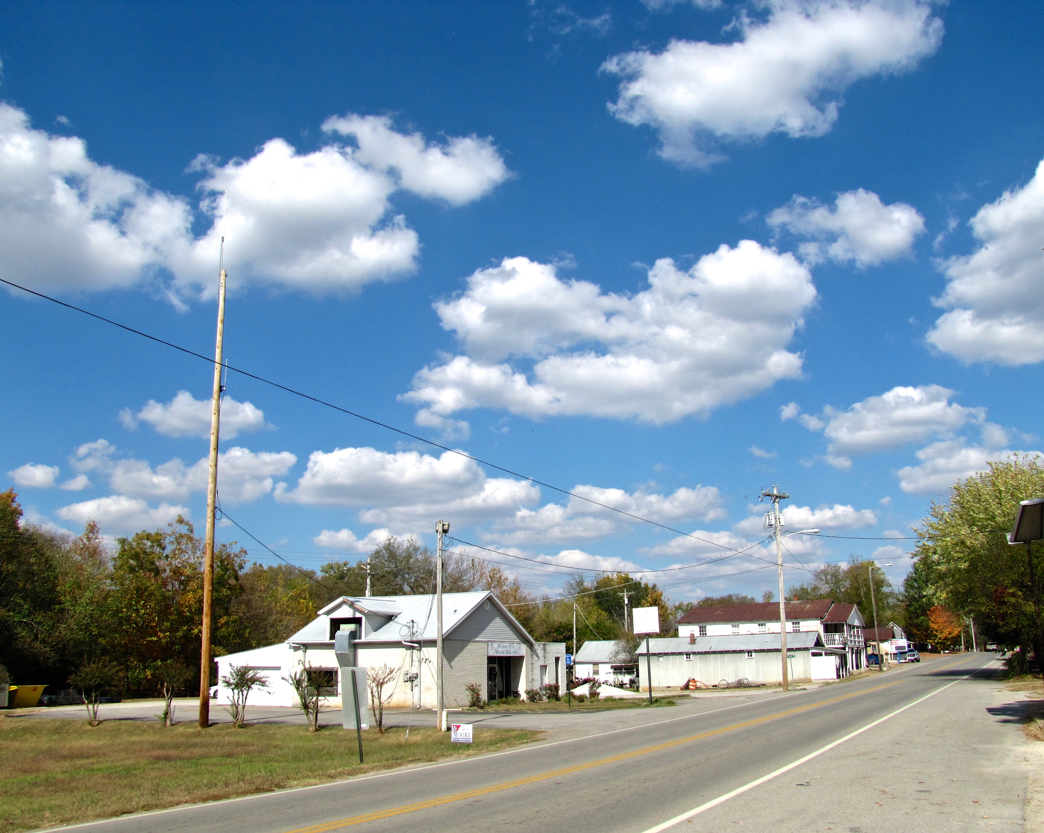
State Route 11 (SR 11) is a mostly unsigned south–north highway that goes from the Alabama border in Giles County, Tennessee to the Kentucky border in Montgomery County. Route description SR 11 begins as a signed primary highway in Giles County at the Alabama state line. It passes through rolling hills and farmland to pass through Minor Hill and Goodspring before entering the Pulaski city limits at an intersection with US 64. It then becomes concurrent with SR 166 before passing through neighborhoods and crossing a bridge over Richland Creek to enter downtown. They then come to an intersection with SR 15, where SR 11 splits from SR 166 and follows SR 15 east. They then come to an intersection with US 31 ( SR 7), where SR 11 becomes unsigned and it follows US 31/SR 7 north to US 31A. State Route 11 is mostly a primary highway, except for in Pulaski, where it turns secondary between US 64 and US 31. SR 11 is also secondary through the entirety of Rutherford County ... [...More Info...] [...Related Items...] OR: [Wikipedia] [Google] [Baidu] |
WSM (AM)
WSM (650 kHz) is a 50,000-watt clear channel AM radio station located in Nashville, Tennessee. It broadcasts a full-time country music format (with classic country and Americana leanings, the latter of which is branded as "Route 650") at 650 kHz and is known primarily as the home of the '' Grand Ole Opry'', the world's longest running radio program. The station's clear channel signal can reach much of North America and nearby countries, especially late at night. It is one of two clear-channel stations in North America, along with CFZM in Toronto, that still primarily broadcast music; as recently as 2020, the station was live and locally originated during the overnight hours, but the overnight host position was eliminated in February 2020. Nicknamed "The Air Castle of the South," it spawned two sister stations on newer mediums: WSM-FM, and television Channel 4 (originally WSM-TV, and now WSMV), both of which were later sold separately. WSM-FM is no longer affiliated with ... [...More Info...] [...Related Items...] OR: [Wikipedia] [Google] [Baidu] |


.jpg)

