|
Tell Ej-Judeideh
Tell ej-Judeideh ( ar, تل الجديدة / خربة الجديدة) is a tell in modern Israel, lying at an elevation of above sea-level. The Arabic name is thought to mean, "Mound of the dykes." In Modern Hebrew, the ruin is known by the name ''Tell Goded'' (). The tell, about north of Beit Guvrin and 9.7 kilometres southeast of Tell es-Safi, was first surveyed by Frederick Jones Bliss in June of 1897, and partially excavated by Bliss and R.A.S. Macalister in March of 1900. It has tentatively been identified with the biblical Moresheth-Gath, while others think that it might be Ashan of , based on the name's proximity to Libnah (thought by Albright to possibly be ''Tel Burna'') and to Ether, a site now recognized as ''Khirbet el-Ater'' (grid position 138/113PAL). Members of the Palestine Exploration Fund visited the site in the late 19th-century and described seeing there "foundations, heaps of stones, and a cistern." History Based on its archaeological finds, the sit ... [...More Info...] [...Related Items...] OR: [Wikipedia] [Google] [Baidu] |
Shfela
The Shephelah or Shfela, lit. "lowlands" ( hbo, הַשְּפֵלָה ''hašŠǝfēlā'', also Modern Hebrew: , ''Šǝfēlat Yəhūda'', the "Judaean foothills"), is a transitional region of soft-sloping rolling hills in south-central Israel stretching over between the Judaean Mountains and the Coastal Plain. The different use of the term "Judean Plain", as either defining just the Coastal Plain segment stretching along the Judaean Mountains, or also including, or only referring to, the Shfela, often creates grave confusion. Today the Shfela is largely rural with many farms, but the cities of Ashdod, Ashkelon, Rehovot, Beit Shemesh, and Kiryat Gat roughly surround it. The Bible assigned land in the Shfela to the tribes of Judah and Dan. Biblical references The Shfela is mentioned many times in the Hebrew Bible. (In the King James Version, the Hebrew term "Shfela" tends to be translated as "vale" or "valley.") The Shfela was the site of many biblical battles. During the Bar Ko ... [...More Info...] [...Related Items...] OR: [Wikipedia] [Google] [Baidu] |
Kingdom Of Judah
The Kingdom of Judah ( he, , ''Yəhūdā''; akk, 𒅀𒌑𒁕𒀀𒀀 ''Ya'údâ'' 'ia-ú-da-a-a'' arc, 𐤁𐤉𐤕𐤃𐤅𐤃 ''Bēyt Dāwīḏ'', " House of David") was an Israelite kingdom of the Southern Levant during the Iron Age. Centered in Judea, the kingdom's capital was Jerusalem. The other Israelite polity, the Kingdom of Israel, lay to the north. Jews are named after Judah and are primarily descended from it. The Hebrew Bible depicts the Kingdom of Judah as a successor to the United Kingdom of Israel, a term denoting the united monarchy under biblical kings Saul, David and Solomon and covering the territory of Judah and Israel. However, during the 1980s, some biblical scholars began to argue that the archaeological evidence for an extensive kingdom before the late-8th century BCE is too weak, and that the methodology used to obtain the evidence is flawed. In the 10th and early 9th centuries BCE, the territory of Judah appears to have been sparsely populated, ... [...More Info...] [...Related Items...] OR: [Wikipedia] [Google] [Baidu] |
Paleo-Hebrew Script
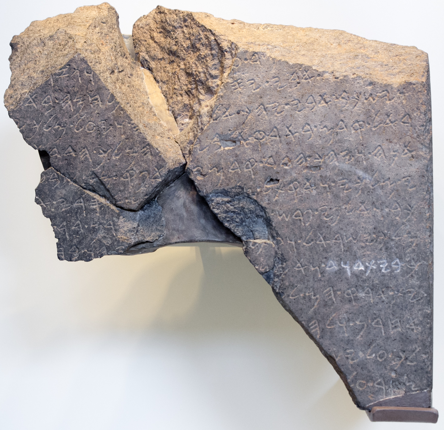
The Paleo-Hebrew script ( he, הכתב העברי הקדום), also Palaeo-Hebrew, Proto-Hebrew or Old Hebrew, is the writing system found in Canaanite inscriptions from the region of biblical Israel and Judah. It is considered to be the script used to record the original texts of the Hebrew Bible due to its similarity to the Samaritan script, as the Talmud stated that the Hebrew ancient script was still used by the Samaritans. The Talmud described it as the "Libona'a script" ( he, לִיבּוֹנָאָה ''Lībōnāʾā''), translated by some as "Lebanon script". Use of the term "Paleo-Hebrew alphabet" is due to a 1954 suggestion by Solomon Birnbaum, who argued that " apply the term Phoenician to the script of the Hebrews is hardly suitable". The first Paleo-Hebrew inscription identified in modern times was the ''Shebna inscription'', found in 1870, and then referred to as "two large ancient Hebrew inscriptions in Phoenician letters".Clermont-Ganneau, 1899Archaeological Resear ... [...More Info...] [...Related Items...] OR: [Wikipedia] [Google] [Baidu] |
LMLK Seal
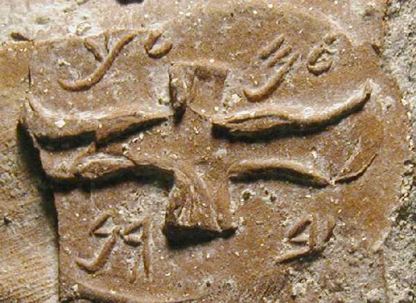
LMLK seals (with LMLK meaning 'of the king') are ancient Hebrew Stamp seal, seals stamped on the handles of large storage jars first issued in the reign of King Hezekiah (circa 700 BC) and discovered mostly in and around Jerusalem. Several complete jars were found ''in situ'' buried under a destruction layer caused by Sennacherib at Lachish. While none of the original seals have been found, some 2,000 impressions made by at least 21 seal types have been published. The iconography of the two and four winged symbols are representative of royal symbols whose meaning "was tailored in each kingdom to the local religion and ideology". Text LMLK stands for the Hebrew letters ''lamedh mem lamedh kaph'' (vocalized, ''lamelekh''; Phoenician language, Phoenician ''lāmed mēm lāmed kāp'' — 𐤋𐤌𐤋𐤊), which can be translated as: * "[belonging] to the king" (of Kingdom of Judah, Judah) * "[belonging] to King" (name of a person or deity) * "[belonging] to the government" (of Ju ... [...More Info...] [...Related Items...] OR: [Wikipedia] [Google] [Baidu] |
Goded IMG 5608
Manuel Goded Llopis (15 October 1882 – 12 August 1936) was a Spanish Army general who was one of the key figures in the July 1936 revolt against the democratically elected Second Spanish Republic. Having unsuccessfully led an attempted insurrection in Barcelona, he was captured and executed by the Republican government. Previously, Goded had distinguished himself in the Battle of Alhucemas of the Rif War. Early life He was born in the city of San Juan, the capital of Puerto Rico, then a Spanish colony. There, he received his primary and secondary education. His family moved to Spain after Puerto Rico became a possession of the United States by the Treaty of Paris of 1898, which ended the Spanish–American War. In Spain, he enrolled and was accepted in the Academy of Infantry, a military institution.Historia
|
Philae Temple Complex
; ar, فيلة; cop, ⲡⲓⲗⲁⲕ , alternate_name = , image = File:File, Asuán, Egipto, 2022-04-01, DD 93.jpg , alt = , caption = The temple of Isis from Philae at its current location on Agilkia Island in Lake Nasser , map_type = Egypt , map_alt = , map_size = , relief = , coordinates = , location = Aswan, Aswan Governorate, Egypt , region = Nubia , type = Sanctuary , part_of = , length = , width = , area = , height = , builder = Taharqa or Psamtik II , material = , built = 7th or 6th century BC , abandoned = 6th century AD , epochs = Third Intermediate Period or Late Period to Byzantine Empire , cultures = , dependency_of = , occupants = , event = , excavations = , archaeologists = , condition = , ownership = , management = , public_acce ... [...More Info...] [...Related Items...] OR: [Wikipedia] [Google] [Baidu] |
Elephantine
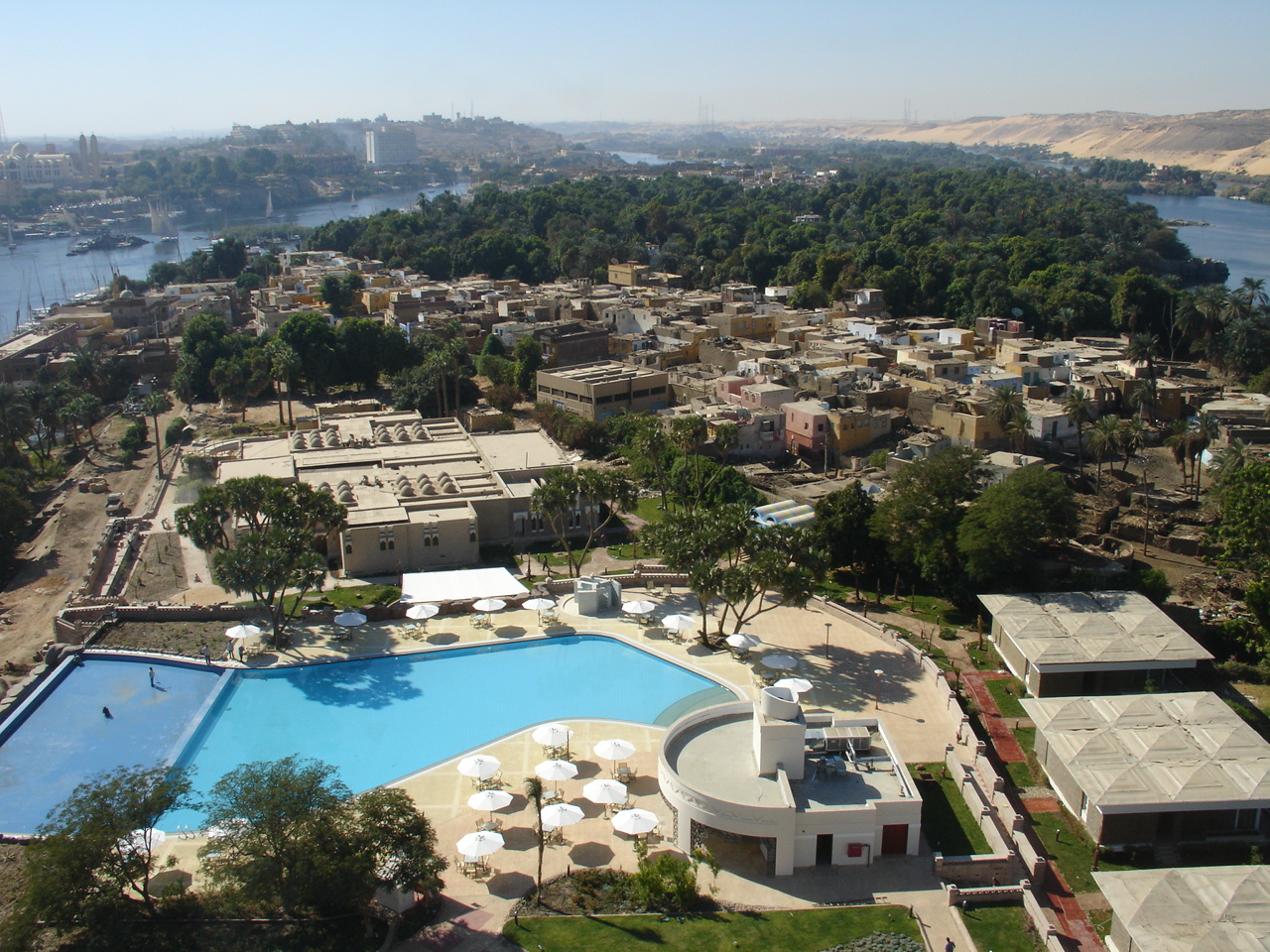
Elephantine ( ; ; arz, جزيرة الفنتين; el, Ἐλεφαντίνη ''Elephantíne''; , ) is an island on the Nile, forming part of the city of Aswan in Upper Egypt. The archaeological sites on the island were inscribed on the UNESCO World Heritage List in 1979 along with other examples of Upper Egyptian architecture, as part of the " Nubian Monuments from Abu Simbel to Philae" (despite Elephantine being neither Nubian, nor between Abu Simbel and Philae). Geography Elephantine is from north to south, and is across at its widest point. The layout of this and other nearby islands in Aswan can be seen from west bank hillsides along the Nile. The island is located just downstream of the First Cataract, at the southern border of Upper Egypt with Lower Nubia. This region above is referred to as Upper Egypt because it is further up the Nile. The island may have received its name after its shape, which in aerial views is similar to that of an elephant tusk, or from the rou ... [...More Info...] [...Related Items...] OR: [Wikipedia] [Google] [Baidu] |
Copts
Copts ( cop, ⲛⲓⲣⲉⲙⲛ̀ⲭⲏⲙⲓ ; ar, الْقِبْط ) are a Christian ethnoreligious group indigenous to North Africa who have primarily inhabited the area of modern Egypt and Sudan since antiquity. Most ethnic Copts are Coptic Oriental Orthodox Christians. They are the largest Christian denomination in Egypt and the Middle East, as well as in Sudan and Libya. Copts have historically spoken the Coptic language, a direct descendant of the Demotic Egyptian that was spoken in late antiquity. Originally referring to all Egyptians at first, the term ''Copt'' became synonymous with native Christians in light of Egypt's Islamization and Arabization after the Muslim conquest of Egypt in the 7th century. Copts in Egypt account for roughly 5–20 percent of the Egyptian population, although the exact percentage is unknown; Copts in Sudan account for 1 percent of the Sudanese population while Copts in Libya similarly account for 1 percent of the Libyan populat ... [...More Info...] [...Related Items...] OR: [Wikipedia] [Google] [Baidu] |
Impluvium
The ''impluvium'' (pl. ''impluvia'') is a water-catchment pool system meant to capture rain-water flowing from the ''compluvium'', or slanted roof. Often placed "inside", instead of "outside", a building, it is a notable feature in many architectural traditions. Greco-Roman impluvium In Greco-Roman architectural studies, the ''impluvium'' refers to the sunken part of the atrium in a Greek or Roman house (''domus''), designed to carry away the rainwater falling from the ''compluvium'' of the roof. It is usually made of marble and placed about 30 cm below the floor of the atrium, and emptied into a subfloor cistern. Construction and use Inspection (without excavation) of ''impluvia'' in Paestum, Pompeii and Rome indicated that the pavement surface in the ''impluvia'' was porous, or that the non-porous stone tiles were separated by gaps significant enough to allow a substantial quantity of water caught in the basin of the ''impluvium'' to filter through the cracks and, beyo ... [...More Info...] [...Related Items...] OR: [Wikipedia] [Google] [Baidu] |
Atrium (architecture)
In architecture, an atrium (plural: atria or atriums) is a large open-air or skylight-covered space surrounded by a building. Atria were a common feature in Ancient Roman dwellings, providing light and ventilation to the interior. Modern atria, as developed in the late 19th and 20th centuries, are often several stories high, with a glazed roof or large windows, and often located immediately beyond a building's main entrance doors (in the lobby). Atria are a popular design feature because they give their buildings a "feeling of space and light." The atrium has become a key feature of many buildings in recent years. Atria are popular with building users, building designers and building developers. Users like atria because they create a dynamic and stimulating interior that provides shelter from the external environment while maintaining a visual link with that environment. Designers enjoy the opportunity to create new types of spaces in buildings, and developers see atria as prest ... [...More Info...] [...Related Items...] OR: [Wikipedia] [Google] [Baidu] |
Idumeans
Edom (; Edomite: ; he, אֱדוֹם , lit.: "red"; Akkadian: , ; Ancient Egyptian: ) was an ancient kingdom in Transjordan, located between Moab to the northeast, the Arabah to the west, and the Arabian Desert to the south and east.Negev & Gibson (ed.), 2001, ''Edom; Edomites'', pp. 149–150 Most of its former territory is now divided between present-day southern Israel and Jordan. Edom appears in written sources relating to the late Bronze Age and to the Iron Age in the Levant. Edomites are related in several ancient sources including the Tanakh, a list of the Egyptian pharaoh Seti I from c. 1215 BC as well as in the chronicle of a campaign by Ramesses III (r. 1186–1155 BC). Archaeological investigation has shown that the nation flourished between the 13th and the 8th century BC and was destroyed after a period of decline in the 6th century BC by the Babylonians. After the fall of the kingdom of Edom, the Edomites were pushed westward towards southern Judah by ... [...More Info...] [...Related Items...] OR: [Wikipedia] [Google] [Baidu] |
Chaldean Dynasty
The Chaldean dynasty, also known as the Neo-Babylonian dynasty and enumerated as Dynasty X of Babylon, was the ruling dynasty of the Neo-Babylonian Empire, ruling as kings of Babylon from the ascent of Nabopolassar in 626 BC to the fall of Babylon in 539 BC. The dynasty, as connected to Nabopolassar through descent, was deposed in 560 BC by the Arameans, Aramean official Neriglissar (560–556 BC), though he was connected to the Chaldean kings through marriage and his son and successor, Labashi-Marduk (556 BC), might have reintroduced the bloodline to the throne. The final Neo-Babylonian king, Nabonidus (556–539 BC), was genealogically unconnected to the previous kings, but might, like Neriglissar, also have been connected to the dynasty through marriage. History The term "Chaldean dynasty", and the corresponding "Chaldean Empire", an alternate Historiography, historiographical name for the Neo-Babylonian Empire, derives from the assumption that the dynasty's founder, Nabopol ... [...More Info...] [...Related Items...] OR: [Wikipedia] [Google] [Baidu] |


