|
Tati River
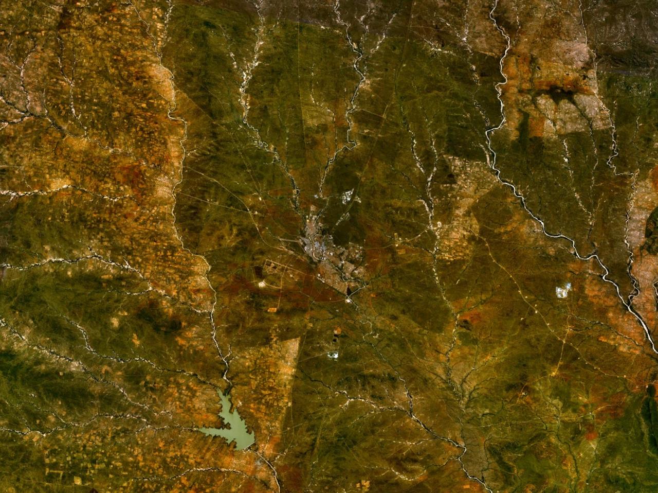
The Tati River is a river in northeast Botswana, a tributary of the Shashe River, which in turn is a tributary of the Limpopo River. The river flows through Francistown, where it is joined by the Ntshe (or Inchwe) River from the left. History About 1865 a hunter came across traces of old gold diggings near the Tati. He invited Karl Mauch to accompany him on his next trip, and in 1866 Mauch announced that he had found the Tati goldfields extending about which started the first gold rush in Southern Africa the following year. In 1869 the Englishman Daniel Francis came to hunt for gold on the river, before heading south to the Kimberley diamond fields in 1870. The gold was hard to extract, and the gold rush died down. Francis returned in 1880 and obtained mining rights from King Lobengula. Mining activity revived in the 1880s and 1890s, and Francistown was established in 1897 when the railway arrived. The town was named after Francis, who owned most of the land in the area. Use ... [...More Info...] [...Related Items...] OR: [Wikipedia] [Google] [Baidu] |
Shashe River
The Shashe River (or Shashi River) is a major left-bank tributary of the Limpopo River in Zimbabwe. It rises northwest of Francistown, Botswana and flows into the Limpopo River where Botswana, Zimbabwe and South Africa meet. The confluence is at the site of the Greater Mapungubwe Transfrontier Conservation Area. Hydrology The Shashe River is a highly river, with flow generally restricted to a few days of the year. The river contributes 12.2% of the mean annual |
Botswana
Botswana (, ), officially the Republic of Botswana ( tn, Lefatshe la Botswana, label=Setswana, ), is a landlocked country in Southern Africa. Botswana is topographically flat, with approximately 70 percent of its territory being the Kalahari Desert. It is bordered by South Africa to the south and southeast, Namibia to the west and north, and Zimbabwe to the northeast. It is connected to Zambia across the short Zambezi River border by the Kazungula Bridge. A country of slightly over 2.3 million people, Botswana is one of the most sparsely populated countries in the world. About 11.6 percent of the population lives in the capital and largest city, Gaborone. Formerly one of the world's poorest countries—with a GDP per capita of about US$70 per year in the late 1960s—it has since transformed itself into an upper-middle-income country, with one of the world's fastest-growing economies. Modern-day humans first inhabited the country over 200,000 years ago. The Tswana ethnic ... [...More Info...] [...Related Items...] OR: [Wikipedia] [Google] [Baidu] |
Limpopo River
The Limpopo River rises in South Africa and flows generally eastward through Mozambique to the Indian Ocean. The term Limpopo is derived from Rivombo (Livombo/Lebombo), a group of Tsonga settlers led by Hosi Rivombo who settled in the mountainous vicinity and named the area after their leader. The river is approximately long, with a drainage basin in size. The mean discharge measured over a year is per second at its mouth. The Limpopo is the second largest river in Africa that drains to the Indian Ocean, after the Zambezi River. The first European to sight the river was Vasco da Gama, who anchored off its mouth in 1498 and named it Espirito Santo River. Its lower course was explored by St Vincent Whitshed Erskine in 1868–69, and Captain J F Elton travelled down its middle course in 1870. The drainage area of Limpopo River has decreased over geological time. Up to Late Pliocene or Pleistocene times, the upper course of the Zambezi River drained into the Limpopo River. Th ... [...More Info...] [...Related Items...] OR: [Wikipedia] [Google] [Baidu] |
Francistown
Francistown is the second largest city in Botswana, with a population of about 103,417 and 147,122 inhabitants for its agglomeration at the 2022 census. and often described as the "''Capital of the North''" or as the natives would have it “''Turopo ya muka''” which is in the iKalanga language. It is located in eastern Botswana, about north-northeast from the capital, Gaborone. Francistown is located at the confluence of the Tati and Ntshe rivers, and near the Shashe River (tributary to the Limpopo) and 90 kilometres (55 miles) from the international border with Zimbabwe. Francistown was the centre of Southern Africa's first gold rush and is still surrounded by old and abandoned mines. The City of Francistown is an administrative district, separated from North-East District. It is administered by Francistown City Council.The main language spoken and used in and around Francistown is the Kalanga language. Other languages used in the area are isiNdebele, ChiShona as well a ... [...More Info...] [...Related Items...] OR: [Wikipedia] [Google] [Baidu] |
Tati Goldfields
The Tati Goldfields are a mineral-rich band in Botswana and Zimbabwe in southern Africa. The band runs approximately long by wide, and crosses the Tati River. It is the southernmost of the gold-bearing bands in the Archaen greenstone (schist) belts of Zimbabwe. It is estimated that between 1866 and 1963 over 200,000 ounces of gold were produced from mines in the Tati Goldfields. History The area along the Tati River was pit mined by the Bakalanga before the arrival of Europeans. It may have been one of the sources of wealth for the Great Zimbabwe empire (c. 1200 to 1450). In 1866 Karl Mauch discovered the Tati goldfield, making it the first one discovered by Europeans in southern Africa. This led to the first South African gold rush. Geology The gold mineralization occurs in quartz veins, intruded into the volcano-sedimentary rocks of the Tati greenstone belt. Other economic minerals occur including nickel and copper. The major formation is the Selkirk Formation which is up t ... [...More Info...] [...Related Items...] OR: [Wikipedia] [Google] [Baidu] |
Kimberley, Northern Cape
Kimberley is the capital and largest city of the Northern Cape province of South Africa. It is located approximately 110 km east of the confluence of the Vaal and Orange Rivers. The city has considerable historical significance due to its diamond mining past and the siege during the Second Anglo-Boer war. British businessmen Cecil Rhodes and Barney Barnato made their fortunes in Kimberley, and Rhodes established the De Beers diamond company in the early days of the mining town. On 2 September 1882, Kimberley was the first city in the Southern Hemisphere and the second in the world after Philadelphia, Pennsylvania in the United States to integrate electric street lights into its infrastructure. The first stock exchange in Africa was built in Kimberley, as early as 1881. History Discovery of diamonds In 1866, Erasmus Jacobs found a small brilliant pebble on the banks of the Orange River, on the farm ''De Kalk'' leased from local Griquas, near Hopetown, which was h ... [...More Info...] [...Related Items...] OR: [Wikipedia] [Google] [Baidu] |
Ntimbale Dam
The Ntimbale Dam is a dam on the Tati River in Botswana. It has a capacity of . Construction The dam project was assigned to Knight Piésold by the Botswana Department of Water Affairs. Knight Piésold undertook the Feasibility study in 1996–97, assisted in the tender process, prepared the detailed design and supervised construction between 2004 and 2009. The dam is a roller-compacted concrete dam high, with a central ogee spillway. PPC Cement of South Africa, which has a blending and packing plant in Gaborone, supplied the cement for the project. The dam complex includes pump stations and a water treatment plant, and supplies water to villages in the North East District and neighboring parts of the Central District. The dam cost an estimated P205 million. While it was being built, a water-transfer scheme costing P280 million was undertaken to connect all of the 51 villages in the North East District. President Ian Khama Seretse Khama Ian Khama (born 27 February 1953) ... [...More Info...] [...Related Items...] OR: [Wikipedia] [Google] [Baidu] |
North-East District (Botswana)
The North-East District is one of the administrative districts of Botswana. Its capital is Francistown. In 2011, North-East had a population of 60,264 people. The district is predominantly occupied by Kalanga-speaking people, the BaKalanga. The district is administered by a district administration and district council, which are responsible for local administration. In the north and east, North-East borders the Matabeleland South Province of Zimbabwe, and the border in the east is predominantly along the Ramokgwebana River. In the south and west, the district borders the Central District along the Shashe River. Geography Most parts of Botswana have tableland slopes sliding from east to west. It is predominantly savannah, with tall grasses, bushes, and trees. The region has an average elevation of around above sea level. The annual precipitation is around , most of which is received during the summer season from November to May. There are conflicts between agricultural expansion ... [...More Info...] [...Related Items...] OR: [Wikipedia] [Google] [Baidu] |
Dikgatlhong Dam
The Dikgatlhong Dam is a dam near the village of Robelela on the Shashe River in Botswana, completed in December 2011. When full it will hold . The next largest dam in Botswana, the Gaborone Dam, has capacity of . Purpose The dam is located on the Shashe River three kilometers below the confluence with the Tati River, about northeast of the town of Selebi Phikwe. It is upstream of the Botswana - Zimbabwe border. The project should increase the secure supply of water for Gaborone, Francistown, and towns and villages along the north–south route for the foreseeable future. It will eventually deliver another per second of raw water delivery to the north–south carrier pipeline. Water will also be fed to the Palapye coalfields and to the proposed 1,200 MW power station at Mmamabula. Project costs for the dam were around P1,134 million (US$300 million). The pipeline would cost another P1,127 million. The reservoir may also attract tourists drawn by wildlife, water sports and ... [...More Info...] [...Related Items...] OR: [Wikipedia] [Google] [Baidu] |
Cholera
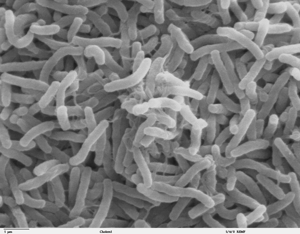
Cholera is an infection of the small intestine by some strains of the bacterium ''Vibrio cholerae''. Symptoms may range from none, to mild, to severe. The classic symptom is large amounts of watery diarrhea that lasts a few days. Vomiting and muscle cramps may also occur. Diarrhea can be so severe that it leads within hours to severe dehydration and electrolyte imbalance. This may result in sunken eyes, cold skin, decreased skin elasticity, and wrinkling of the hands and feet. Dehydration can cause the skin to turn bluish. Symptoms start two hours to five days after exposure. Cholera is caused by a number of types of ''Vibrio cholerae'', with some types producing more severe disease than others. It is spread mostly by unsafe water and unsafe food that has been contaminated with human feces containing the bacteria. Undercooked shellfish is a common source. Humans are the only known host for the bacteria. Risk factors for the disease include poor sanitation, not enough clea ... [...More Info...] [...Related Items...] OR: [Wikipedia] [Google] [Baidu] |


