|
Tarmon
Tarmon () is an electoral division south of Tarbert in County Kerry, Ireland. It is in the municipal district of Listowel, barony of Iraghticonnor and civil parish of Kilnaughtin, and the former rural district of Listowel and dispensary district of Tarbert. It contains the townland A townland ( ga, baile fearainn; Ulster-Scots: ''toonlann'') is a small geographical division of land, historically and currently used in Ireland and in the Western Isles in Scotland, typically covering . The townland system is of Gaelic orig ...s of Carhoonakilla, Cockhill, Dooncaha, Glancullare North, Glancullare South, Glansillagh, Gurteenavallig, Kilmurrily, Meelcon, Pulleen, Shanaway East, Shanaway West, Tarmon East, Tarmon Hill, and Tarmon West, for a total area of . The population was 207 in 1901 and 521 in 2011. References Geography of County Kerry {{Kerry-geo-stub ... [...More Info...] [...Related Items...] OR: [Wikipedia] [Google] [Baidu] |
Placenames Database Of Ireland
The Placenames Database of Ireland ( ga, Bunachar Logainmneacha na hÉireann), also known as , is a database and archive of place names in Ireland. It was created by Fiontar, Dublin City University in collaboration with the Placenames Branch of the Department of Tourism, Culture, Arts, Gaeltacht, Sport and Media. The website is a public resource primarily aimed at journalists and translators, students and teachers, historians and researchers in genealogy. Placenames Commission and Placenames Branch The Placenames Commission ( ga, an Coimisiún Logainmneacha) was established by the Department of Finance (Ireland), Department of Finance in 1946 to advise Ordnance Survey Ireland and the government of what the Irish name of places should be. Although both the 1922 Constitution of the Irish Free State and the Constitution of Ireland, current constitution adopted in 1937 recognised Irish as the national language, the law in regard to placenames was carried over from the 19th-century ... [...More Info...] [...Related Items...] OR: [Wikipedia] [Google] [Baidu] |
Electoral Division (Ireland)
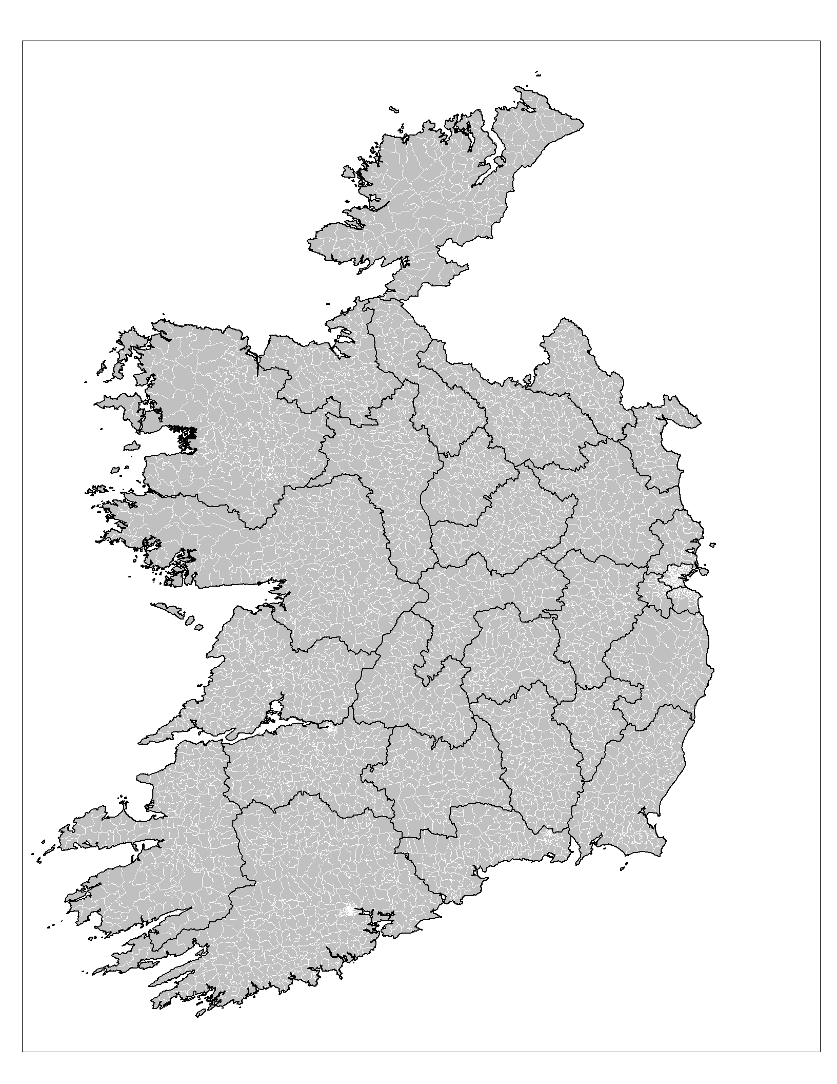
An electoral division (ED, ) is a legally defined administrative area in the Republic of Ireland, generally comprising multiple townlands, and formerly a subdivision of urban and rural districts. Until 1996, EDs were known as district electoral divisions (DEDs, ) in the 29 county council areas and wards in the five county boroughs. Until 1972, DEDs also existed in Northern Ireland. The predecessor poor law electoral divisions were introduced throughout the island of Ireland in the 1830s. The divisions were used as local-government electoral areas until 1919 in what is now the Republic and until 1972 in Northern Ireland. History until partition Electoral divisions originated under the Poor Relief (Ireland) Act 1838 as "poor law electoral divisions": electoral divisions of a poor law union (PLU) returning one or more members to the PLU's board of guardians. The boundaries of these were drawn by Poor Law Commissioners, with the intention of producing areas roughly equivalent in ... [...More Info...] [...Related Items...] OR: [Wikipedia] [Google] [Baidu] |
Tarbert, County Kerry
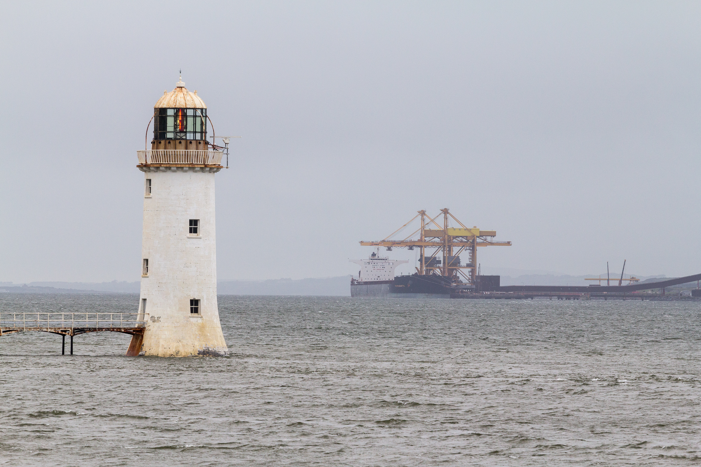
Tarbert (, from an Old Irish term meaning "draw-boat", i.e. portage) is a town in the north of County Kerry, with woodland to the south and the Shannon estuary to the north. It lies on the N69 coast road that runs along the estuary from Limerick before turning inland at Tarbert towards Listowel, and has two schools Tarbert Primary and Tarbert Comprehensive. Tarbert Island The nearby island is linked to the mainland by a short isthmus – the site of the boat portage that gave its name to both the island and the town. There is a car ferry service from the island to the town of Killimer, near Kilrush in Clare. This service, operated by Shannon Ferries, provides a link between the N69 in Kerry and the N67 in Clare. Also on the island is a small lighthouse and an electricity plant with four oil-fired turbines and a capacity of 640MW. This plant, opened in 1969, was the site of an explosion in 2003 that killed two workers and seriously injured another. The plant was due to ... [...More Info...] [...Related Items...] OR: [Wikipedia] [Google] [Baidu] |
County Kerry
County Kerry ( gle, Contae Chiarraí) is a county in Ireland. It is located in the South-West Region and forms part of the province of Munster. It is named after the Ciarraige who lived in part of the present county. The population of the county was 155,258 at the 2022 census, A popular tourist destination, Kerry's geography is defined by the MacGillycuddy's Reeks mountains, the Dingle, Iveragh and Beara peninsulas, and the Blasket and Skellig islands. It is bordered by County Limerick to the north-east and Cork County to the south and south-east. Geography and subdivisions Kerry is the fifth-largest of Ireland's 32 traditional counties by area and the 16th-largest by population. It is the second-largest of Munster's six counties by area, and the fourth-largest by population. Uniquely, it is bordered by only two other counties: County Limerick to the east and County Cork to the south-east. The county town is Tralee although the Catholic diocesan seat is Killarney, whi ... [...More Info...] [...Related Items...] OR: [Wikipedia] [Google] [Baidu] |
Municipal District (Ireland)
A local electoral area (LEA; ga, Toghlimistéir Áitiúil) is an electoral area for elections to local authorities in Ireland. All elections use the single transferable vote. The Republic of Ireland is divided into 166 LEAs, with an average population of 28,700 and average area of . The boundaries of LEAs are defined by statutory instrument, usually based lower-level units called electoral divisions (EDs), with a total of 3,440 EDs in the state. As well as their use for electoral purposes, LEAs are local administrative units in Eurostat NUTS classification. They are used in local numbers of cases of COVID-19. Municipal districts A municipal district () is a division of a local authority which can exercise certain powers of the local authority. They came into being on 1 June 2014, ten days after the local elections, under the provisions of the Local Government Reform Act 2014. Of the 31 local authorities, 25 are subdivided into municipal districts, which comprise one or more L ... [...More Info...] [...Related Items...] OR: [Wikipedia] [Google] [Baidu] |
Listowel
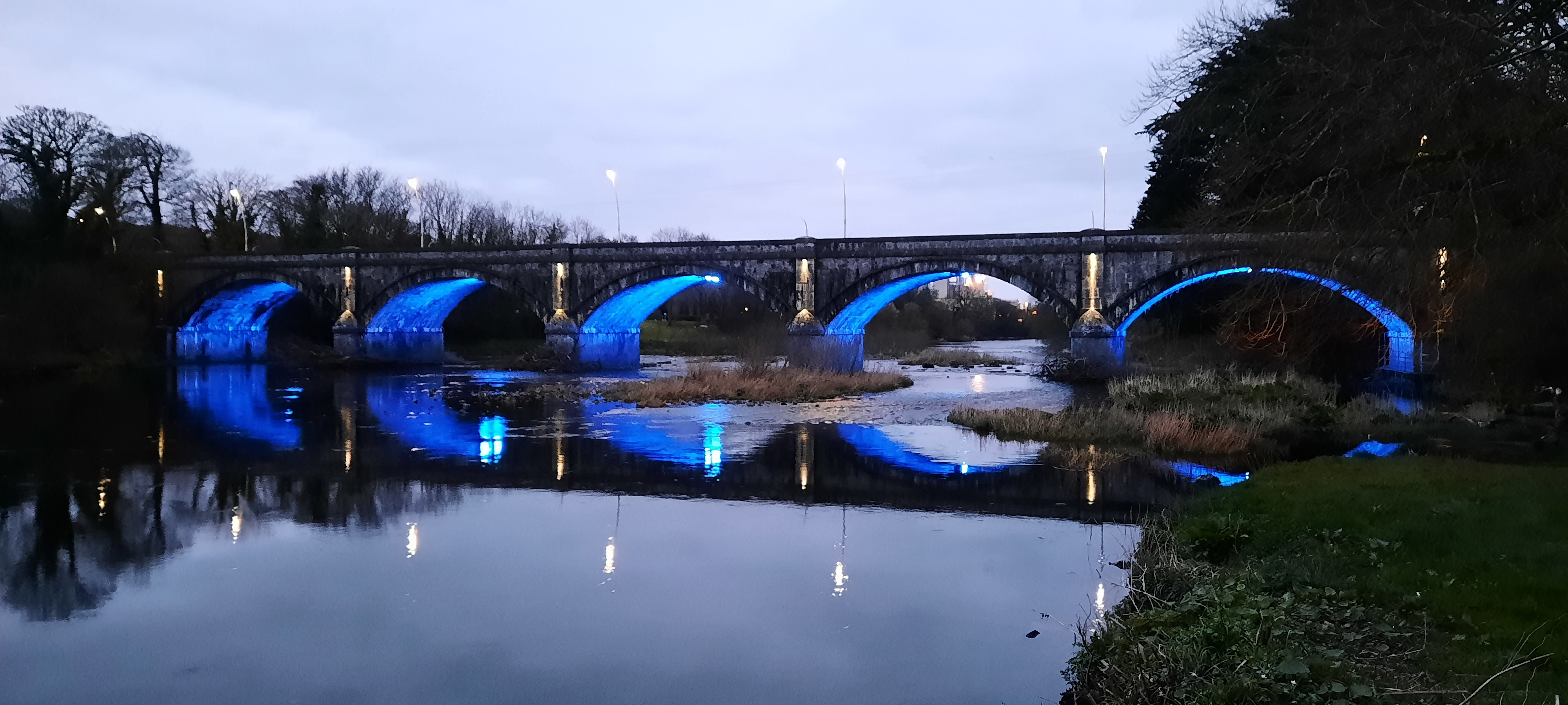
Listowel ( ; , IPA:[ˈlʲɪsˠˈt̪ˠuəhəlʲ]) is a heritage market town in County Kerry, Ireland. It is on the River Feale, from the county town, Tralee. The town of Listowel had a population of 4,820 according to the Central Statistics Office of Ireland, CSO Census 2016. Described by the organisers of Listowel's writers festival as the "Literary Capital of Ireland", a number of internationally known playwrights and authors have lived there, including Bryan MacMahon (writer), Bryan MacMahon and John B. Keane. Location Listowel is on the N69 road (Ireland), N69 Limerick – Foynes – Tralee Roads in Ireland, road. Bus Éireann provides daily services to Tralee, Cork (city), Cork, and Limerick. The nearest railway station is Tralee. Listowel used to have its own railway station on a broad gauge line between Tralee and Limerick city; however, this was closed to passengers in 1963, to freight in 1978, and finally abandoned and lifted in 1988. The station building has been ... [...More Info...] [...Related Items...] OR: [Wikipedia] [Google] [Baidu] |
Irish Statute Book
The Irish Statute Book, also known as the electronic Irish Statute Book (eISB), is a database produced by the Office of the Attorney General of Ireland. It contains copies of Acts of the Oireachtas and statutory instruments.electronic Irish Statute Book (eISB) . Office of the Attorney General from the original by . It also contains a Legislation Directory which includes chronological tables of pre-1922 legislation. [...More Info...] [...Related Items...] OR: [Wikipedia] [Google] [Baidu] |
Barony (Ireland)
In Ireland, a barony ( ga, barúntacht, plural ) is a historical subdivision of a county, analogous to the hundreds into which the counties of England were divided. Baronies were created during the Tudor reconquest of Ireland, replacing the earlier cantreds formed after the original Norman invasion.Mac Cotter 2005, pp.327–330 Some early baronies were later subdivided into half baronies with the same standing as full baronies. Baronies were mainly cadastral rather than administrative units. They acquired modest local taxation and spending functions in the 19th century before being superseded by the Local Government (Ireland) Act 1898. Subsequent adjustments of county boundaries mean that some baronies now straddle two counties. The final catalogue of baronies numbered 331, with an average area of ; therefore, each county was divided, on average, into 10 or 11 baronies. Creation The island of Ireland was "shired" into counties in two distinct periods: the east and south duri ... [...More Info...] [...Related Items...] OR: [Wikipedia] [Google] [Baidu] |
Civil Parishes In Ireland
Civil parishes () are units of territory in the island of Ireland that have their origins in old Gaelic territorial divisions. They were adopted by the Anglo-Norman Lordship of Ireland and then by the Elizabethan Kingdom of Ireland, and were formalised as land divisions at the time of the Plantations of Ireland. They no longer correspond to the boundaries of Roman Catholic or Church of Ireland parishes, which are generally larger. Their use as administrative units was gradually replaced by Poor_law_union#Ireland, Poor Law Divisions in the 19th century, although they were not formally abolished. Today they are still sometimes used for legal purposes, such as to locate property in deeds of property registered between 1833 and 1946. Origins The Irish parish was based on the Gaelic territorial unit called a ''túath'' or ''Trícha cét''. Following the Norman invasion of Ireland, the Anglo-Normans, Anglo-Norman barons retained the ''tuath'', later renamed a parish or manor, as a un ... [...More Info...] [...Related Items...] OR: [Wikipedia] [Google] [Baidu] |
Rural District
Rural districts were a type of local government area – now superseded – established at the end of the 19th century in England, Wales, and Ireland for the administration of predominantly rural areas at a level lower than that of the Administrative county, administrative counties.__TOC__ England and Wales In England and Wales they were created in 1894 (by the Local Government Act 1894) along with Urban district (Great Britain and Ireland), urban districts. They replaced the earlier system of sanitary districts (themselves based on poor law unions, but not replacing them). Rural districts had elected rural district councils (RDCs), which inherited the functions of the earlier sanitary districts, but also had wider authority over matters such as local planning, council house, council housing, and playgrounds and cemeteries. Matters such as education and major roads were the responsibility of county councils. Until 1930 the rural district councillors were also poor law gu ... [...More Info...] [...Related Items...] OR: [Wikipedia] [Google] [Baidu] |


_2.jpg)


