|
Tarhuna Wa Msalata District
Tarhuna wa Msalata ( Tarhuna and Msallata) was a district of Libya until 2007."شعبية ترهونة و مسلاتة" ("Districts of Libya:Tarhuna Wa Msalata") Website of the General People's Committee of Libya, in Arabic, from dated 15 October 2006 Between 1988 and 1995 there existed the Tarhuna District, which became Tarhuna wa Msalata between 2001 and 2007. It consisted of twenty-six [...More Info...] [...Related Items...] OR: [Wikipedia] [Google] [Baidu] |
Bani Walid District
Bani Walid or Ben Walid, prior to 2007, was one of the districts of Libya, administrative town Bani Walid. In the 2007 administrative reorganization the territory formerly in Bani Walid District was transferred to Misrata District. , Website of the General People's Committee of Libya, accessed 5 September 2009, in Arabic Bani Walid bordered the following districts: * - north * Misrata - northeast * [...More Info...] [...Related Items...] OR: [Wikipedia] [Google] [Baidu] |
Privateer
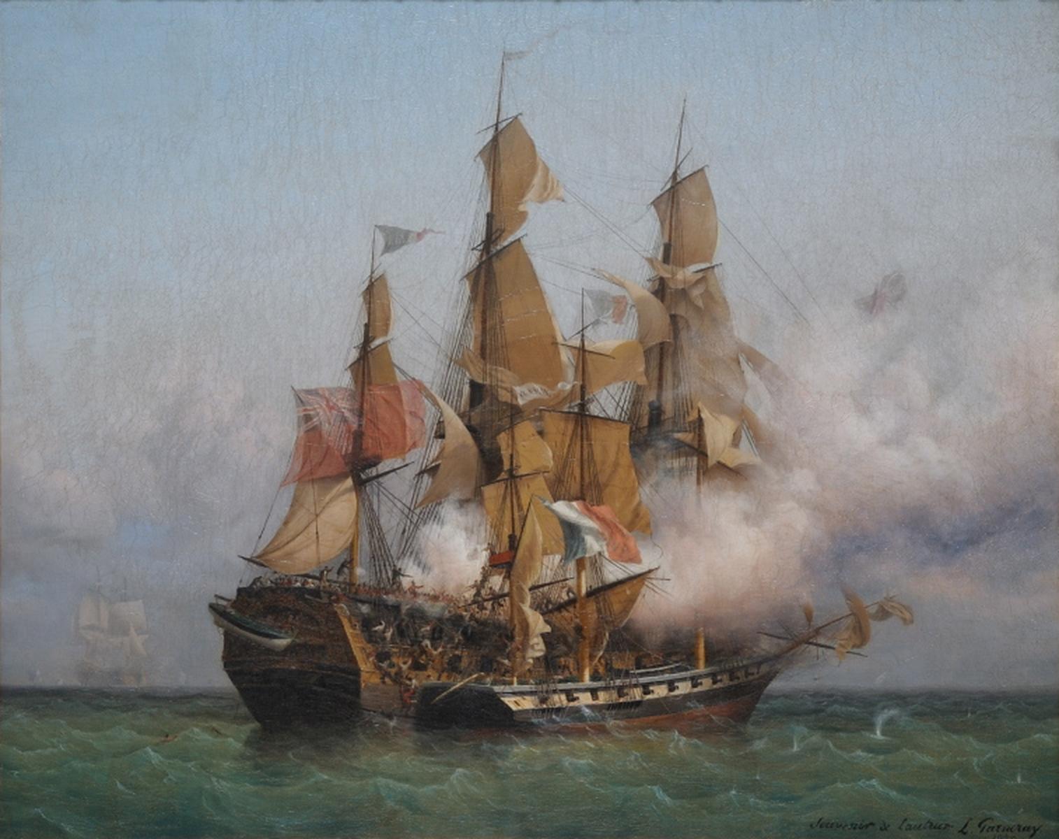
A privateer is a private person or ship that engages in maritime warfare under a commission of war. Since robbery under arms was a common aspect of seaborne trade, until the early 19th century all merchant ships carried arms. A sovereign or delegated authority issued commissions, also referred to as a letter of marque, during wartime. The commission empowered the holder to carry on all forms of hostility permissible at sea by the usages of war. This included attacking foreign vessels and taking them as prizes, and taking prize crews as prisoners for exchange. Captured ships were subject to condemnation and sale under prize law, with the proceeds divided by percentage between the privateer's sponsors, shipowners, captains and crew. A percentage share usually went to the issuer of the commission (i.e. the sovereign). Privateering allowed sovereigns to raise revenue for war by mobilizing privately owned armed ships and sailors to supplement state power. For participants, privateerin ... [...More Info...] [...Related Items...] OR: [Wikipedia] [Google] [Baidu] |
Suleiman The Magnificent
Suleiman I ( ota, سليمان اول, Süleyman-ı Evvel; tr, I. Süleyman; 6 November 14946 September 1566), commonly known as Suleiman the Magnificent in the West and Suleiman the Lawgiver ( ota, قانونى سلطان سليمان, Ḳānūnī Sulṭān Süleymān) in his realm, was the tenth and longest-reigning Sultan of the Ottoman Empire from 1520 until his death in 1566. Under his administration, the Ottoman Empire ruled over at least 25 million people. Suleiman succeeded his father, Selim I, as sultan on 30 September 1520 and began his reign with campaigns against the Christian powers in central Europe and the Mediterranean. Belgrade fell to him in 1521 and the island of Rhodes in 1522–23. At Mohács, in August 1526, Suleiman broke the military strength of Hungary. Suleiman became a prominent monarch of 16th-century Europe, presiding over the apex of the Ottoman Empire's economic, military and political power. Suleiman personally led Ottoman armies in ... [...More Info...] [...Related Items...] OR: [Wikipedia] [Google] [Baidu] |
Heinrich Barth
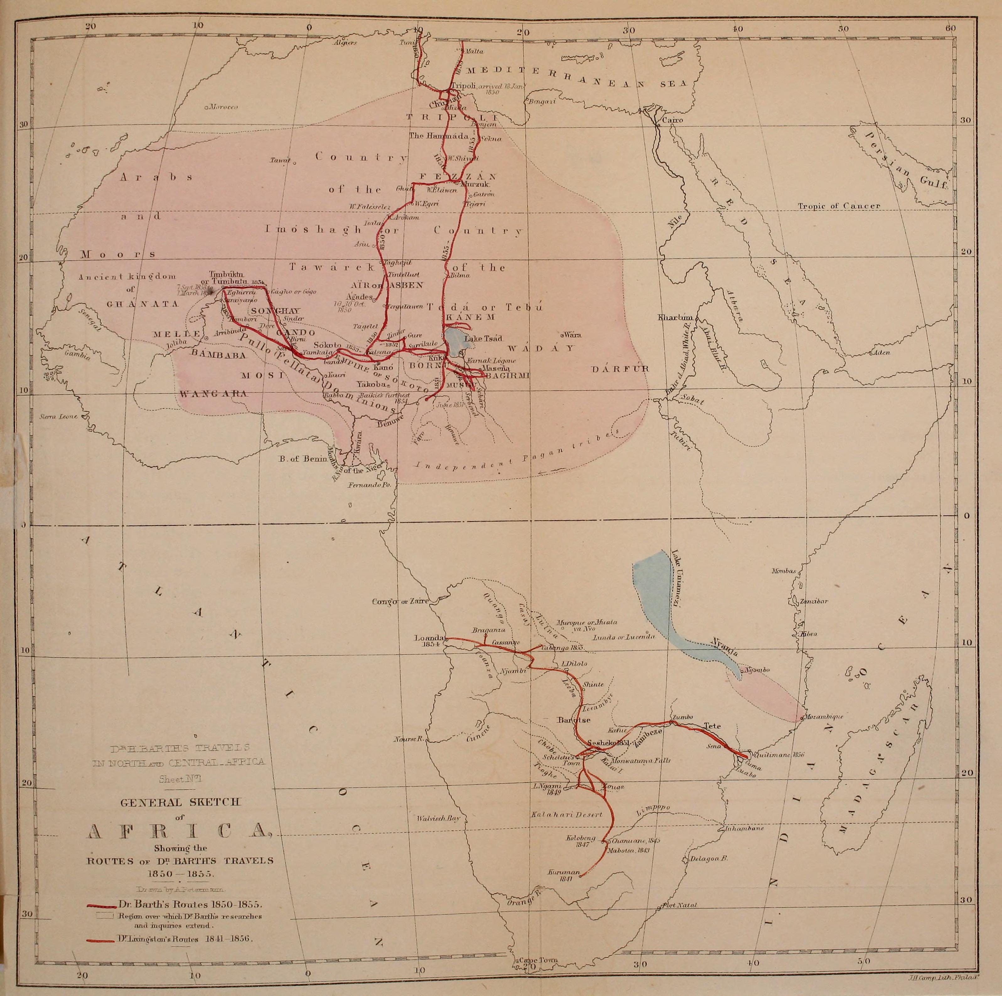
Johann Heinrich Barth (; ; 16 February 1821 – 25 November 1865) was a German explorer of Africa and scholar. Barth is thought to be one of the greatest of the European explorers of Africa, as his scholarly preparation, ability to speak and write Arabic, learning African languages, and character meant that he carefully documented the details of the cultures he visited. He was among the first to comprehend the uses of oral history of peoples, and collected many. He established friendships with African rulers and scholars during his five years of travel (1850–1855). After the deaths of two European companions, he completed his travels with the aid of Africans. Afterwards, he wrote and published a five-volume account of his travels in both English and German. It has been invaluable for scholars of his time and since. Early life and education Heinrich Barth was born in Hamburg on 16 February 1821. He was the third child of Johann Christoph Heinrich Barth and his wife Charlotte ... [...More Info...] [...Related Items...] OR: [Wikipedia] [Google] [Baidu] |
Leptis Magna
Leptis or Lepcis Magna, also known by other names Other often refers to: * Other (philosophy), a concept in psychology and philosophy Other or The Other may also refer to: Film and television * ''The Other'' (1913 film), a German silent film directed by Max Mack * ''The Other'' (1930 film), ... in classical antiquity, antiquity, was a prominent city of the Carthaginian Empire and Roman Libya at the mouth of the Wadi Lebda in the Mediterranean. Originally a 7th-centuryBC Phoenician foundation, it was greatly expanded under Roman Emperor Septimius Severus (), who was born in the city. The Legio III Augusta, 3rd Augustan Legion was stationed here to defend the city against Berbers, Berber incursions. After the legion's dissolution under in 238, the city was increasingly open to raids in the later part of the 3rd century. Diocletian reinstated the city as provincial capital, and it grew again in prosperity until it fell to the Vandals in 439. It was reincorporated into the By ... [...More Info...] [...Related Items...] OR: [Wikipedia] [Google] [Baidu] |
Tripoli District, Libya
Tripoli District ( ar, طرابلس عروس البحر, ''Aros Al baher Ṭarābulus'') is one of the 22 first level subdivisions (''بلدية'') of Libya. Its capital and largest city is Tripoli, the national capital. Tripoli District is in the Tripolitania region of northwestern Libya. The district has a shoreline along the coast of the Mediterranean Sea in the north (Gulf of Tripoli), Zawiya in the west, Jafara in the southwest, Jabal al Gharbi in the south and Murqub in the east. Per the census estimates of 2012, the total population in the region was 157,747 with 150,353 Libyans. The average size of the household in the country was 6.9, while the average household size of non-Libyans being 3.7. There were totally 22,713 households in the district, with 20,907 Libyan ones. The population density of the district was 1,126 persons per sq. km. Geography The district has a shoreline along the coast of the Mediterranean Sea in the north (Gulf of Tripoli). On land it borders ... [...More Info...] [...Related Items...] OR: [Wikipedia] [Google] [Baidu] |
Jafara
Jafara or Al Jfara ( ar, الجفارة ''Al Jifārah'') is one of the districts of Libya, in the historical region of Tripolitania. Its capital and largest city is 'Aziziya. Jafara borders Tripoli in northeast, Jabal al Gharbi in south and Zawiya in the west. From 2001 to 2007, Jafara District consisted of twenty Basic People's Congresses (BPCs). In 2007 it was enlarged by the addition of four BPCs from Tarabulus District (Tripoli), and presently consists of twenty-four Basic People's Congresses. Per the census of 2012, the total population in the region was 157,747, with 150,353 Libyans. The average size of the household in the country was 6.9, while the average household size of non-Libyans being 3.7. There were totally 22,713 households in the district, with 20,907 Libyan ones. The population density of the district was 1.86 persons per km2. Per 2006 census, there were totally 163,882 economically active people in the district. Geography Libya has mostly a flat undulati ... [...More Info...] [...Related Items...] OR: [Wikipedia] [Google] [Baidu] |
Gharyan District
Gharyan District or Garian District ( ar, شعبية غريان)"شعبية غريان (Gharyan District)" Website of the General People's Committee of Libya, dated 15 October 2006, as preserved by was one of the . It was located in the northwest part of the country and its capital was . Under the 2007 reorganization of districts, it became part of [...More Info...] [...Related Items...] OR: [Wikipedia] [Google] [Baidu] |
Quadripoint
A quadripoint is a point on Earth where four distinct territories meet. The territories can be of different types, such as national and provincial. In North America, several such places are commonly known as Four Corners. Several examples exist throughout the world that use other names. Usage The word ''quadripoint'' does not appear in the ''Oxford English Dictionary'' or ''Merriam-Webster Online'', though it has been used since 1964 by the Office of the Geographer of the United States Department of State. and appears in the ''Encyclopædia Britannica'', as well as in the ''World Factbook'' articles on Botswana, Namibia, Zambia, and Zimbabwe, dating as far back as 1990. History An early instance of four political divisions meeting at a point is the Four Shire Stone in Moreton-in-Marsh, England (attested in the Domesday Book, 1086, and mentioned since 969 if not 772); until 1931, it was the meeting point of the English counties of Gloucestershire, Oxfordshire, Warwickshire, an ... [...More Info...] [...Related Items...] OR: [Wikipedia] [Google] [Baidu] |
Mizda District
Mizda was one of the districts of Libya. In the 2007 reorganization of Libyan districts its territory became part of Jabal al Gharbi District. Prior to 2007 Mizdah bordered the following districts: * Bani Walid - northeast * Sirte - east * Al Jufrah - southeast * Wadi Al Shatii - south *Ghadames - west *Nalut - northwest, south of Yafran *Yafran - northwest, north of Nalut *Gharyan - north *Tarhuna wa Msalata Tarhuna wa Msalata ( Tarhuna and Msallata) was a district of Libya until 2007.quadripoint At the time Mizda bordered more districts than any other Libyan district. Settlements The following are important settlements in the former Mizda Distric ...[...More Info...] [...Related Items...] OR: [Wikipedia] [Google] [Baidu] |
Misrata District
Misrata ( ar, مصراته , Libyan Arabic: ''Məṣrātah''), also spelt ''Misurata'' or ''Misratah'', is a sha'biyah (district) in northwestern Libya. Its capital is the city of Misrata. In 2007 the district was enlarged to include what had been the Bani Walid District and the northernmost strip of coast of the Gulf of Sidra, that from 2001 to 2007 had been part of Sirte District. In the north and east, Misrata has a shoreline on the Mediterranean Sea. On land, it borders Sirte in south and east, Murqub in north and west and Jabal al Gharbi in south and west. Per the census of 2012, the total population in the region was 157,747 with 150,353 Libyans. The average size of the household in the country was 6.9, while the average household size of non-Libyans being 3.7. There were totally 22,713 households in the district, with 20,907 Libyan ones. The population density of the district was 1.86 persons per km2. Per 2006 census, there were totally 148,352 economically active peop ... [...More Info...] [...Related Items...] OR: [Wikipedia] [Google] [Baidu] |


_(8288918733).jpg)


