|
Taihaku-ku, Sendai
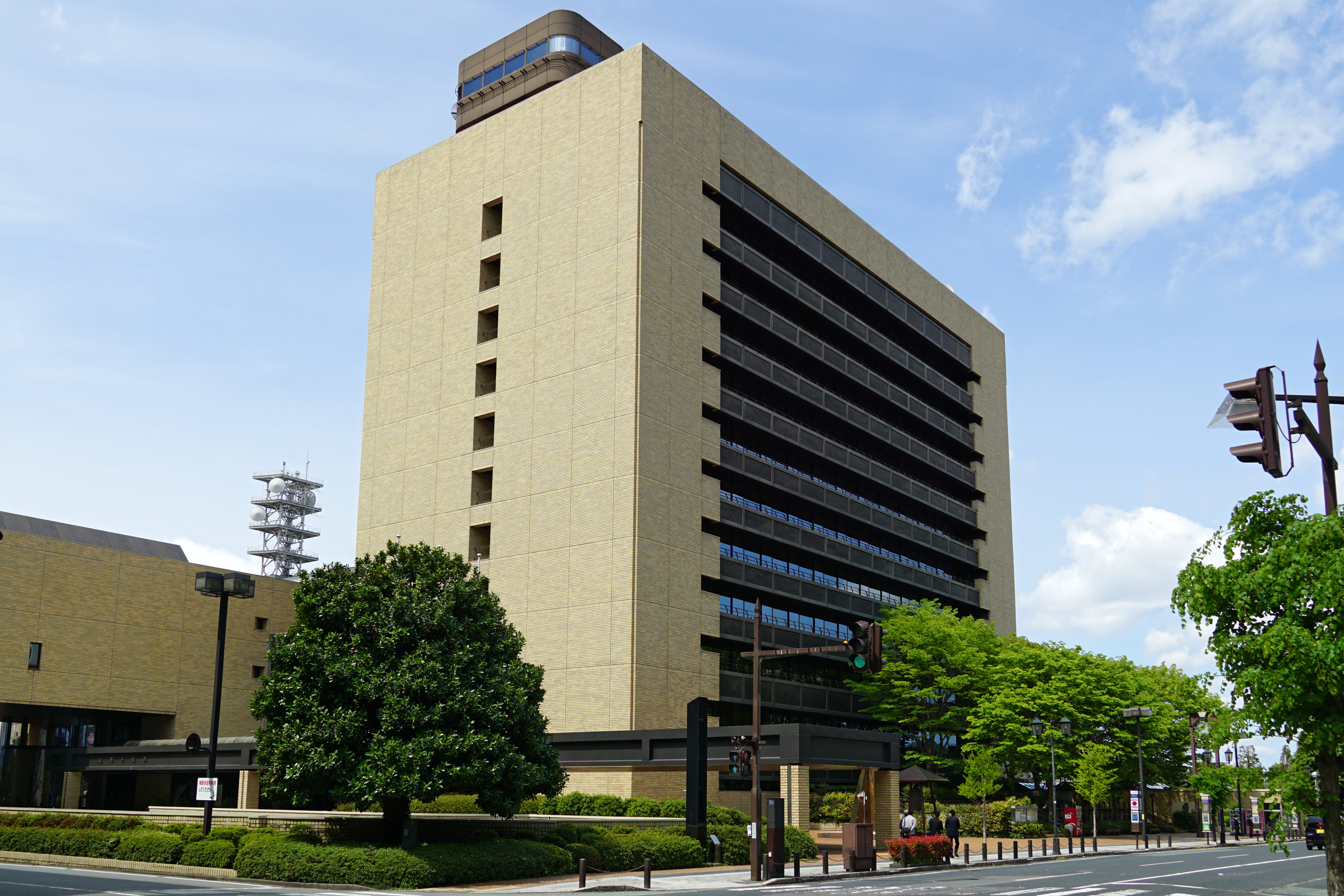
is the southernmost ward of the city Sendai, in Miyagi Prefecture, Japan. , the ward had a population of 226,069 and a population density of 1470 persons per km2 in 102,728 households. The total area of the ward was . Taihaku-ku is eleventh largest ward in Japan in terms of area, and second-largest in Sendai (behind Aoba-ku). The western portion of the ward is the former town of Akiu, Miyagi. Geography Taihaku-ku is located inland, forming the southern portion of Sendai metropolis. The area is mountainous to the west, and the Natori River flows through the ward. Neighboring municipalities *Miyagi Prefecture **Aoba-ku, Sendai **Wakabayashi-ku, Sendai ** Natori ** Murata ** Kawasaki *Yamagata Prefecture ** Yamagata **Higashine History The area of present-day Taihaku-ku was part of ancient Mutsu Province, and has been settled since at least the Japanese Paleolithic period. The area was inhabited by the Emishi people, and came under the control of the Yamato dynasty during the la ... [...More Info...] [...Related Items...] OR: [Wikipedia] [Google] [Baidu] |
Wards Of Japan
A is a subdivision of the cities of Japan that are large enough to have been City designated by government ordinance, designated by government ordinance. Chapter 17: Government System (Retrieved on July 4, 2009) Wards are used to subdivide each City designated by government ordinance (Japan), city designated by government ordinance ("designated city"). The Special wards of Tokyo, 23 special wards of Tokyo Metropolis have a municipality, municipal status, and are not the same as other entities referred to as ''ku'', although their Tokyo City, predecessors were. Wards are local government, local entities directly controlled by the municipal government. They handle administrative functions such as ''koseki'' regi ... [...More Info...] [...Related Items...] OR: [Wikipedia] [Google] [Baidu] |
Natori, Miyagi
is a city located in Miyagi Prefecture, Japan. , the city had an estimated population of 79,459 in 31,748 households, and a population density of 810 persons per km². The total area of the city is . Geography Natori is in east-central Miyagi Prefecture, bordered by the Pacific Ocean to the east. Natori is located in the fertile plains of the Natori River and the Masuda River deltas; however, the Natori River is actually not inside Natori city limits. Traditionally, the area known as Natori District extended from the Natori River in the north and into the west. However, these regions have been absorbed into the greater Sendai area and are no longer part of Natori. Neighboring municipalities Miyagi Prefecture *Sendai * Murata *Iwanuma Climate Natori has a humid climate (Köppen climate classification ''Cfa'') characterized by mild summers and cold winters. The average annual temperature in Natori is . The average annual rainfall is with September as the wettest month. The t ... [...More Info...] [...Related Items...] OR: [Wikipedia] [Google] [Baidu] |
Northern Fujiwara
The Northern Fujiwara (奥州藤原氏 ''Ōshū Fujiwara-shi'') were a Japanese noble family that ruled the Tōhoku region (the northeast of Honshū) of Japan during the 12th century as their own realm.Esashi Fujiwara no Sato (in English) The Ōshū Fujiwara were one of the four great clans during the — the other three were the , the , and the |
Abe Clan
The was one of the oldest of the major Japanese clans (''uji''); and the clan retained its prominence during the Sengoku period and the Edo period.Meyer, Eva-Maria"Gouverneure von Kyôto in der Edo-Zeit." Universität Tübingen (in German). The clan's origin is said to be one of the original clans of the Yamato people; they truly gained prominence during the Heian period (794-1185), and experienced a resurgence in the 18th century. Although Abe is also a very common Japanese surname in modern times, not everyone with this name is descended from this clan. Origins and history According to the '' Nihon Shoki'', the Abe were descended from Prince Ōhiko, son of Emperor Kōgen. Asakawa, Kan'ichi. (1903). ''The Early Institutional Life of Japan,'' p.140. They originated in Iga province (today Mie prefecture); Though the clan name was originally written as 阿倍, it changed to 安倍 around the 8th century. Though this origin is not positive, it is likely. The northern region which ... [...More Info...] [...Related Items...] OR: [Wikipedia] [Google] [Baidu] |
Heian Period
The is the last division of classical Japanese history, running from 794 to 1185. It followed the Nara period, beginning when the 50th emperor, Emperor Kanmu, moved the capital of Japan to Heian-kyō (modern Kyoto). means "peace" in Japanese. It is a period in Japanese history when the Chinese influences were in decline and the national culture matured. The Heian period is also considered the peak of the Japanese imperial court and noted for its art, especially poetry and literature. Two types of Japanese script emerged, including katakana, a phonetic script which was abbreviated into hiragana, a cursive alphabet with a unique writing method distinctive to Japan. This gave rise to Japan's famous vernacular literature, with many of its texts written by court women who were not as educated in Chinese compared to their male counterparts. Although the Imperial House of Japan had power on the surface, the real power was in the hands of the Fujiwara clan, a powerful aristocratic f ... [...More Info...] [...Related Items...] OR: [Wikipedia] [Google] [Baidu] |
Nara Period
The of the history of Japan covers the years from CE 710 to 794. Empress Genmei established the capital of Heijō-kyō (present-day Nara). Except for a five-year period (740–745), when the capital was briefly moved again, it remained the capital of Japanese civilization until Emperor Kanmu established a new capital, Nagaoka-kyō, in 784, before moving to Heian-kyō, modern Kyoto, a decade later in 794. Japanese society during this period was predominantly agricultural and centered on village life. Most of the villagers followed Shintō, a religion based on the worship of natural and ancestral spirits named ''kami.'' The capital at Nara was modeled after Chang'an, the capital city of the Tang dynasty. In many other ways, the Japanese upper classes patterned themselves after the Chinese, including adopting the Chinese writing system, Chinese fashion, and a Chinese version of Buddhism. Literature Concentrated efforts by the imperial court to record its history produced the ... [...More Info...] [...Related Items...] OR: [Wikipedia] [Google] [Baidu] |
Yamato Dynasty
The , also referred to as the Imperial Family or the House of Yamato, comprises those members of the extended family of the reigning Emperor of Japan who undertake official and public duties. Under the present Constitution of Japan, the Emperor is "the symbol of the State and of the unity of the people". Other members of the Imperial Family perform ceremonial and social duties, but have no role in the affairs of government. The duties as an Emperor are passed down the line to their male children. This Japanese monarchy is the oldest continuous hereditary monarchy in the world. The Imperial House recognizes 126 monarchs, beginning with Emperor Jimmu (traditionally dated to 11 February 660 BC), and continuing up to the current emperor, Naruhito. However, scholars have agreed that there is no evidence of Jimmu's existence, that the traditional narrative of Japan’s founding is mythical, and that Jimmu is a mythical figure. Historical evidence for the first 25 emperors is mythical, ... [...More Info...] [...Related Items...] OR: [Wikipedia] [Google] [Baidu] |
Emishi
The (also called Ebisu and Ezo), written with Chinese characters that literally mean "shrimp barbarians," constituted an ancient ethnic group of people who lived in parts of Honshū, especially in the Tōhoku region, referred to as in contemporary sources. The first mention of the Emishi in literature that can be corroborated with outside sources dates to the 5th century AD, in which they are referred to as (毛人 - "hairy people") in Chinese records. Some Emishi tribes resisted the rule of various Japanese Emperors during the Asuka, Nara and early Heian periods (7th–10th centuries AD). The origin of the Emishi is disputed. They are often thought to have descended from some tribes of the Jōmon people. Some historians believe that they were related to the Ainu people, but others disagree with this theory and see them as a completely distinct ethnicity.Aston, W.G., trans. Nihongi: Chronicles of Japan from the Earliest Times to AD 697. Tokyo: Charles E.Tuttle Co., 1972 (r ... [...More Info...] [...Related Items...] OR: [Wikipedia] [Google] [Baidu] |
Japanese Paleolithic
The is the period of human inhabitation in Japan predating the development of pottery, generally before 10,000 BC. The starting dates commonly given to this period are from around 40,000 BC; although any date of human presence before 35,000 BC is controversial, with artifacts supporting a pre-35,000 BC human presence on the archipelago being of questionable authenticity. Charles T. Keally The period extended to the beginning of the Mesolithic , or around 14,000 BC. The earliest human bones were discovered in the city of in |
Mutsu Province
was an old province of Japan in the area of Fukushima, Miyagi, Iwate and Aomori Prefectures and the municipalities of Kazuno and Kosaka in Akita Prefecture. Mutsu Province is also known as or . The term is often used to refer to the combined area of Mutsu and the neighboring province Dewa, which together make up the entire Tōhoku region. History Invasion by the Kinai government Mutsu, on northern Honshū, was one of the last provinces to be formed as land was taken from the indigenous Emishi, and became the largest as it expanded northward. The ancient regional capital of the Kinai government was Tagajō in present-day Miyagi Prefecture. * 709 ('' Wadō 2, 3rd month''), an uprising against governmental authority took place in Mutsu and in nearby Echigo Province. Troops were dispatched to subdue the revolt. * 712 (''Wadō 5''), Mutsu was separated from Dewa Province. Empress Genmei's ''Daijō-kan'' made cadastral changes in the provincial map of the Nara period ... [...More Info...] [...Related Items...] OR: [Wikipedia] [Google] [Baidu] |
Higashine, Yamagata
is a city located in Yamagata Prefecture, Japan. , the city had an estimated population of 47,910 in 17868 households, and a population density of 230 persons per km². The total area of the city is . Geography Located on the eastern shore of the Mogami River in the northern part of the Yamagata Basin, the urban area of Higashine is located in an alluvial fan created by the Shirasui River, the Murayamano River, and the Nitto River flowing from the Ōu Mountains in the eastern part of the city. The western portion of the city is hilly, rising to the Ōu Mountains which form its eastern border. Neighboring municipalities *Yamagata Prefecture ** Murayama ** Tendō ** Kahoku ** Obanazawa ** Yamagata *Miyagi Prefecture **Sendai Climate Higashine has a Humid continental climate (Köppen climate classification ''Cfa'') with large seasonal temperature differences, with warm to hot (and often humid) summers and cold (sometimes severely cold) winters. Precipitation is significant throu ... [...More Info...] [...Related Items...] OR: [Wikipedia] [Google] [Baidu] |
Yamagata, Yamagata
is the capital Cities of Japan, city of Yamagata Prefecture located in the Tōhoku region of northern Japan. , the city had an estimated population of 248,772 in 103,165 households, and a population density of 650 persons per km2. The total area of the city is . Geography Yamagata is in the southern portion of the Yamagata Basin in southeast Yamagata Prefecture. The northern and northwestern parts of the city are flatland, and the eastern part of the city is occupied by the Ōu Mountains. The city includes Mount Zaō within its borders. The Mamigasaki River passes through the city, and the Tachiyagawa River forms the border between Yamagata and Tendō. Neighboring municipalities *Yamagata Prefecture **Tendō, Yamagata, Tendō **Kaminoyama, Yamagata, Kaminoyama **Higashine, Yamagata, Higashine **Nanyō, Yamagata, Nanyō **Yamanobe, Yamagata, Yamanobe **Nakayama, Yamagata, Nakayama *Miyagi Prefecture **Sendai, Miyagi, Sendai **Kawasaki, Miyagi, Kawasaki Climate Yamagata has a ... [...More Info...] [...Related Items...] OR: [Wikipedia] [Google] [Baidu] |


