|
Taconic State Park
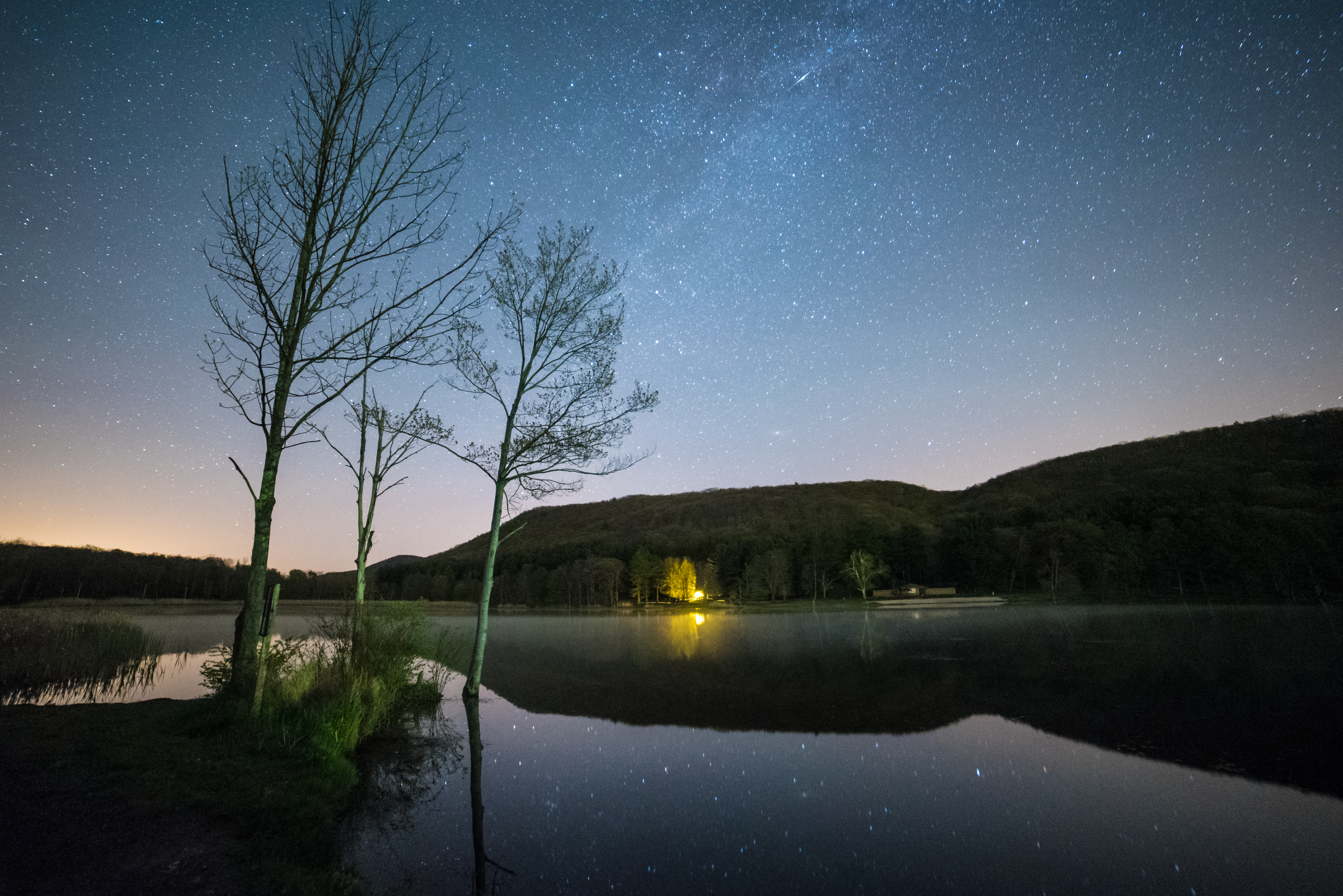
Taconic State Park is located in Columbia and Dutchess County, New York abutting Massachusetts and Connecticut within the Taconic Mountains. The state park is located off New York State Route 344 south of Interstate 90 and north of New York City. It features camping, hiking, bicycling, hunting, cross county skiing and other recreational opportunities.Taconic State Park New York Office of Parks, Recreation and Historic Preservation. Retrieved December 27, 2008''South Taconic Range: Trail Guide and Map.'' Berkshire Natural Resources Council (2002). Pittsfield, Massachusetts Also ava ... [...More Info...] [...Related Items...] OR: [Wikipedia] [Google] [Baidu] |
Columbia County, New York
Columbia County is a county located in the U.S. state of New York. As of the 2020 census, the population was 61,570. The county seat is Hudson. The name comes from the Latin feminine form of the name of Christopher Columbus, which was at the time of the formation of the county a popular proposal for the name of the United States. Columbia County comprises the Hudson, NY Micropolitan Statistical Area, which is also included in the Albany-Schenectady, NY Combined Statistical Area. It is on the east side of the Hudson River and is considered to be part of the Upper Hudson Valley. History At the arrival of European colonists the area was occupied by the indigenous Mohican Indians. To the west of the river were the Mohawk and other four tribes of the Iroquois Confederacy, extending past what is now the border of New York state. The first known European exploration of Columbia County was in 1609, when Henry Hudson, an English explorer sailing for the Dutch, ventured up the Huds ... [...More Info...] [...Related Items...] OR: [Wikipedia] [Google] [Baidu] |
North East, New York
North East is a town in Dutchess County, New York, United States. The population was 3,031 at the 2020 census. The town is in the northeastern corner of the county. U.S. Route 44 crosses the town. History The town of North East takes its name from its position in the county.Smith, James H. ''The History of Dutchess County with Illustrations and Biographical Sketches'', Chap. XXI, D. Mason & Co. Syracuse, 1882 Part of the town was from the of ... [...More Info...] [...Related Items...] OR: [Wikipedia] [Google] [Baidu] |
Chatham, New York
Chatham is a town in Columbia County, New York, United States. The population was 4,104 at the 2020 census, down from the 2010 census. The town has a village also called Chatham on its southern town line. The town is at the northern border of Columbia County. History The early settlers were Dutch, but later Quakers and New Englanders arrived. The town of Chatham was formed from the towns of Canaan and Kinderhook in 1795. Contradictory of its current condition or image, Chatham was an industrial center of multiple inter-state rail lines in the early 1900s, including the junction of the Boston and Albany Railroad for connections east and west, the Rutland Railroad for connections to Vermont to the north, and the New York Central's Harlem Line for connections to New York City. In 1887 a terminal designed by Henry Hobson Richardson was constructed. Amtrak service on the ''Lake Shore Limited'' passes through, east-west, but does not stop. In later years Amtrak has planned to b ... [...More Info...] [...Related Items...] OR: [Wikipedia] [Google] [Baidu] |
Wassaic, New York
Wassaic is a hamlet and census-designated place in the town of Amenia, Dutchess County, New York, United States. Located in southeastern New York in the valley of the Ten Mile River, Wassaic is bordered to the east and west by mountain ranges. The name of the hamlet is derived from the Native American word ''Washaic''; "land of difficult access" or "narrow valley". However, Europeans found ready access by following the Housatonic River valley up from Long Island Sound and through the mountains along the Ten Mile River. One of the earliest recorded Europeans to settle in Wassaic was Richard Sackett. He petitioned the Colonial Government on March 11, 1703 for a license to purchase a tract of land in "Washiack". He was known as Captain Richard Sackett when appointed the first Dutchess County clerk in 1715. By the 1770s, Wassaic was processing Ancram pig iron into steel. This continued into the early 1800s, providing steel for the Harris scythe works at Hammertown, near Pine Plain ... [...More Info...] [...Related Items...] OR: [Wikipedia] [Google] [Baidu] |
Life Guard , soldiers that protect a sovereign
{{dab ...
Life guard or Life Guard may refer to: * Life Guards ** Life Guards (Denmark) ** Life Guards (France) ** Life Guards (Sweden), ** Life Guards (United Kingdom) ** Life Guards' Dragoon Music Corps ** Life Guards Jager Regiment (Russia) ** Life Guards of Horse ** Royal Bavarian Infantry Lifeguards Regiment * Life Guard ** Life Guard DC ** Life Guard Horse Regiment See also * Lifeguard, a rescuer at water-based activities * Lifeguard (car safety), a car safety device * Lifeguard (military) ' (also life-guard, or household troops) has been, since the 15th century, the designation for the military security guards who protected ' (royals and nobles) — usually members of the highest nobility who ruled over states of the Holy Roman Emp ... [...More Info...] [...Related Items...] OR: [Wikipedia] [Google] [Baidu] |
Mount Fray
Mount Fray, , also known as Catamount because of the Catamount Ski Area located on its north slope, is a prominent peak of the south Taconic Mountains, located in southwest Massachusetts and adjacent New York. The summit is open and covered in scrub oak; it offers views west over the Hudson River Valley. The sides of the mountain are wooded with northern hardwood tree species. The South Taconic Trail passes over the summit of Mount Fray. Details The south and west sides of the mountain are within Taconic State Park, while the north side is part of the Catamount Ski area. Other parcels are privately owned or are in conservation easement. The summit and northeast side of the mountain are within Egremont, Massachusetts; the southeast side is part of the town of Mount Washington, Massachusetts. The west side falls within Copake, New York. The east side of Mount Fray drains into Kenner Brook, Hubbard Brook, thence the Housatonic River and Long Island Sound. The west side drai ... [...More Info...] [...Related Items...] OR: [Wikipedia] [Google] [Baidu] |
Alander Mountain
Alander Mountain is a prominent peak of the south Taconic Mountains; it is located in southwest Massachusetts and adjacent New York. Part of the summit is grassy and open and part is covered with scrub oak and shrubs; the sides of the mountain are wooded with northern hardwood tree species. Views from the top include the southern Taconic Mountains, the Hudson River Valley including the Catskills. Several trails traverse Alander Mountain, most notably the South Taconic Trail, which passes just beneath the summit. Much of the mountain is located within Taconic State Park and Mount Washington State Forest; other parcels have been conserved by non-profit organizations. Primitive camping is allowed on Alander Mountain; a cabin is located near the summit and there are two hike-in campsites on the east slope within Mount Washington State Forest. The west slope of Alander Mountain is located within Copake, New York. The point where the state line crosses the ridge next to the South Ta ... [...More Info...] [...Related Items...] OR: [Wikipedia] [Google] [Baidu] |
Brace Mountain
Brace Mountain is the peak of a ridge in the southern Taconic Mountains, near the tripoint of the U.S. states of New York, Connecticut and Massachusetts. Its main summit is located in New York; it is the highest point in that state's Dutchess County. The New York and Massachusetts portions of the mountain are within protected areas; Taconic State Park and Mount Washington State Forest respectively. The Connecticut portions are privately owned and conserved. It is a challenging yet popular hike since its summit, along with subpeak South Brace Mountain, are along the South Taconic Trail. Hikers approach the mountain either from the New York side on the west via the South Taconic or from another trail following the Connecticut-Massachusetts state line on the east, a route that allows them to visit both the tristate marker and the highest point in Connecticut, near the summit of Mount Frissell, along the way. Brace's bald summit, marked by a large cairn, offers views in all d ... [...More Info...] [...Related Items...] OR: [Wikipedia] [Google] [Baidu] |
Berkshire Natural Resources Council
The Berkshire Natural Resources Council (BNRC) is a non-profit land conservation and environmental advocacy organization formed in 1967 that protects and maintains more than 50 properties and of conservation restrictions around the Berkshires in western Massachusetts. The mission of the BNRC is "to protect and preserve the natural beauty and ecological integrity of the Berkshires for public benefit and enjoyment." BNRC has been active in preserving natural landscapes and resources on Mount Greylock, Yokun Ridge, and the South Taconic Range. It maintains hiking trails at its Steven's Glen preserve in West Stockbridge, Basin Pond in Lee, Olivia's Lookout in Lenox, and Bob's Way in Monterey, Massachusetts. It has also been active in advocating for environmental protection and remediation of the Housatonic River The Housatonic River ( ) is a river, approximately long,U.S. Geological Survey. National Hydrography Dataset high-resolution flowline dataThe National Map , accessed A ... [...More Info...] [...Related Items...] OR: [Wikipedia] [Google] [Baidu] |
New York - New Jersey Trail Conference
New is an adjective referring to something recently made, discovered, or created. New or NEW may refer to: Music * New, singer of K-pop group The Boyz Albums and EPs * ''New'' (album), by Paul McCartney, 2013 * ''New'' (EP), by Regurgitator, 1995 Songs * "New" (Daya song), 2017 * "New" (Paul McCartney song), 2013 * "New" (No Doubt song), 1999 *"new", by Loona from '' Yves'', 2017 *"The New", by Interpol from ''Turn On the Bright Lights'', 2002 Acronyms * Net economic welfare, a proposed macroeconomic indicator * Net explosive weight, also known as net explosive quantity * Network of enlightened Women, a conservative university women's organization * Next Entertainment World, a South Korean film distribution company Identification codes * Nepal Bhasa language ISO 639 language code * New Century Financial Corporation (NYSE stock abbreviation) * Northeast Wrestling, a professional wrestling promotion in the northeastern United States Transport * New Orleans Lakefront A ... [...More Info...] [...Related Items...] OR: [Wikipedia] [Google] [Baidu] |
Appalachian Trail
The Appalachian Trail (also called the A.T.), is a hiking trail in the Eastern United States, extending almost between Springer Mountain in Georgia and Mount Katahdin in Maine, and passing through 14 states.Gailey, Chris (2006)"Appalachian Trail FAQs" Outdoors.org (accessed September 14, 2006) The Appalachian Trail Conservancy claims the Appalachian Trail to be the longest hiking-only trail in the world. More than three million people hike segments of the trail each year. The trail was first proposed in 1921 and completed in 1937 after more than a decade of work. Improvements and changes have continued since then. It became the Appalachian National Scenic Trail under the National Trails System Act of 1968. The trail is maintained by 31 trail clubs and multiple partnerships, and managed by the National Park Service, United States Forest Service, and the nonprofit Appalachian Trail Conservancy. Most of the trail is in forest or wild lands, although some portions traverse towns, ... [...More Info...] [...Related Items...] OR: [Wikipedia] [Google] [Baidu] |
Mount Washington State Forest
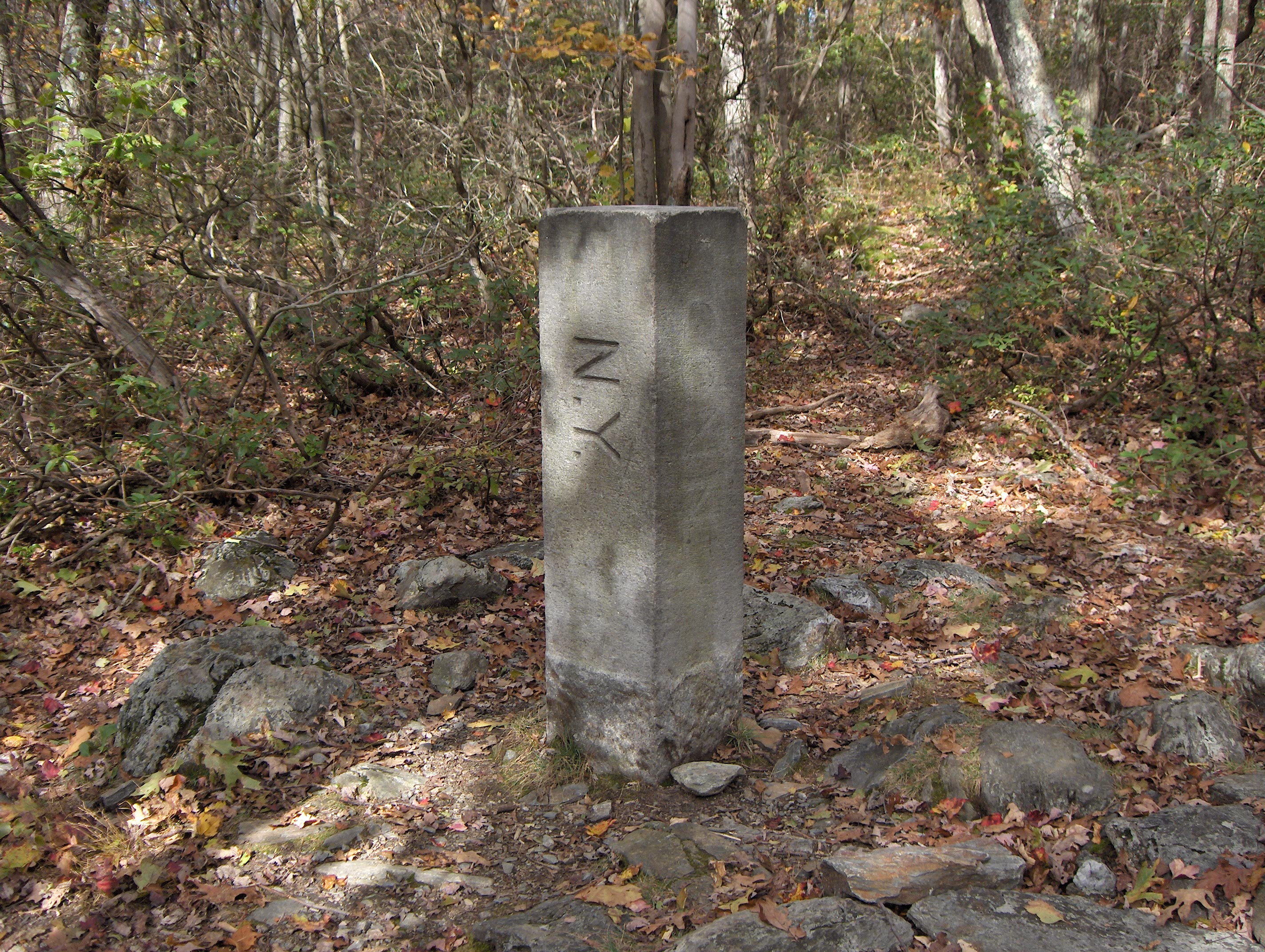
Mount Washington State Forest is a state forest in the Mount Washington, Massachusetts. The forest conjoins with New York state and the state of Connecticut in the southern Taconic Mountains of the southwestern Berkshire region of Massachusetts. In addition to offering recreational and scenic opportunities, the forest lies adajacent to Bash Bish Falls State Park. It is managed by the Massachusetts Department of Conservation and Recreation. History The forest was acquired by the state through gifts of Alfred F. Intemann (1897-1986) and his wife Cornelia Van der Smissen Intemann (who died in 1963) conveyed in 1958, 1959, 1961, and 1968. Features The forest protects of old growth northern hardwood forest in separate areas.See the list of old-growth forests in Massachusetts for details. The tri-state boundary stone on the Mount Frissell Trail marks Massachusett's southwest and Connecticut's northwest corners. The names of Massachusetts and New York are engraved in the stone, whil ... [...More Info...] [...Related Items...] OR: [Wikipedia] [Google] [Baidu] |


