|
Transport In The Gambia
The system of transportation in the Gambia mixes both public and private operations and consists of a system of roads (both paved and unpaved), water and air transportation. The Trans-Gambia Highway runs along both sides of the river Gambia, which bisects the country. The river may be crossed by ferry or the Senegambia bridge. There are no railways in the country. History During the colonial era, several small railways existed in the Gambia. One, in Bathurst (now Banjul), stretched from Wellington Street to The Marina, now Liberation Avenue and Marina Parade respectively. A War Office map from 1909 clearly shows the railway. Both Kuntaur and Kaur had similar railways from the wharfs to the warehouses. The railways had hand-pushed wagons for transporting of goods from ships. They were used by large companies involved in trading, such as Maurel & Prom. These railways existed until the 1960s. Railways In 2009 an agreement was signed between Japan and Gambia for construction of a ra ... [...More Info...] [...Related Items...] OR: [Wikipedia] [Google] [Baidu] |
Road In Gambia 0007
A road is a linear way for the conveyance of traffic that mostly has an improved surface for use by vehicles (motorized and non-motorized) and pedestrians. Unlike streets, the main function of roads is transportation. There are many types of roads, including parkways, avenues, controlled-access highways (freeways, motorways, and expressways), tollways, interstates, highways, thoroughfares, and local roads. The primary features of roads include lanes, sidewalks (pavement), roadways (carriageways), medians, shoulders, verges, bike paths (cycle paths), and shared-use paths. Definitions Historically many roads were simply recognizable routes without any formal construction or some maintenance. The Organization for Economic Co-operation and Development (OECD) defines a road as "a line of communication (travelled way) using a stabilized base other than rails or air strips open to public traffic, primarily for the use of road motor vehicles running on their own wheels", which i ... [...More Info...] [...Related Items...] OR: [Wikipedia] [Google] [Baidu] |
The Gambia
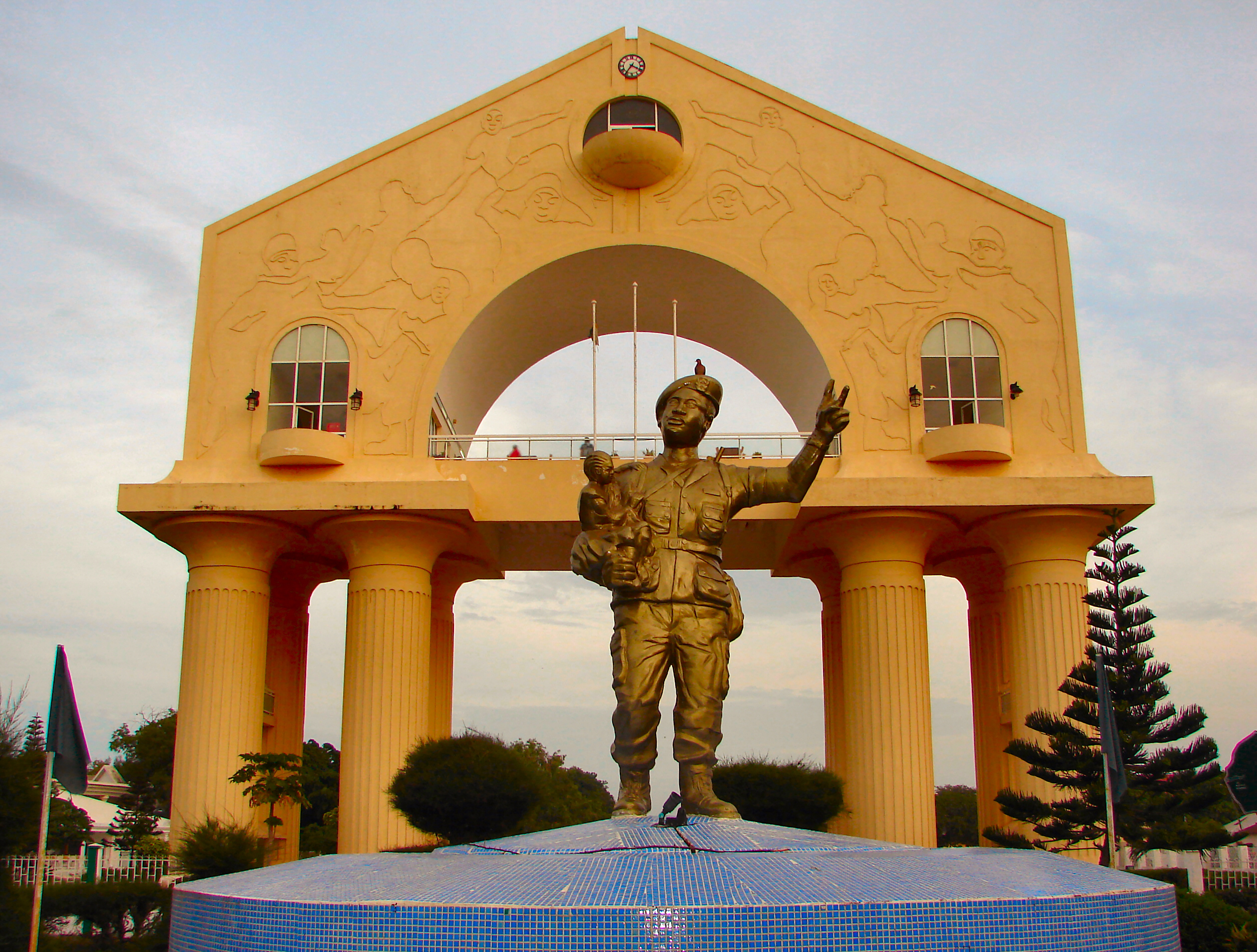
The Gambia,, ff, Gammbi, ar, غامبيا officially the Republic of The Gambia, is a country in West Africa. It is the smallest country within mainland AfricaHoare, Ben. (2002) ''The Kingfisher A-Z Encyclopedia'', Kingfisher Publications. p. 11. . and is surrounded by Senegal, except for its western coast on the Atlantic Ocean. The Gambia is situated on both sides of the lower reaches of the Gambia River, the nation's namesake, which flows through the centre of the Gambia and empties into the Atlantic Ocean, thus the long shape of the country. It has an area of with a population of 1,857,181 as of the April 2013 census. Banjul is the Gambian capital and the country's largest metropolitan area, while the largest cities are Serekunda and Brikama. The Portugal, Portuguese in 1455 entered the Gambian region, the first Europeans to do so, but never established important trade there. In 1765, the Gambia was made a part of the British Empire by establishment of the Gambia Col ... [...More Info...] [...Related Items...] OR: [Wikipedia] [Google] [Baidu] |
Trans-Gambia Highway
The Trans-Gambia Highway is a major highway in The Gambia, running across the centre of the nation in a north–south direction. Within the Gambia, the highway consists of two main stretches, the North Bank Road and South Bank Road, each corresponding to the parts of the country on either side of the Gambia River. The two roads ultimately connect via the Senegambia bridge at the village of Fatoto, at the far eastern end of the country. Prior to the building of the bridge, the crossing was served by a ferry. The road is also economically important for Senegal, in which it is designated as the N4 road. Geography The Gambia is an elongated state forming a country that is almost surrounded by Senegal (but not an enclave, as it also borders the Atlantic Ocean). The Gambia almost separates the Casamance region from the remainder of Senegal, with the only land borders being through dense, uninhabited forest. South Bank Road The southern portion of the Trans-Gambia Highway begins ... [...More Info...] [...Related Items...] OR: [Wikipedia] [Google] [Baidu] |
River Gambia
The Gambia River (formerly known as the River Gambra) is a major river in West Africa, running from the Fouta Djallon plateau in north Guinea westward through Senegal and The Gambia to the Atlantic Ocean at the city of Banjul. It is navigable for about half that length. The river is strongly associated with The Gambia, the smallest country in mainland Africa, which occupies the downstream half of the river and its two banks. Geography The Gambia River runs a total length of . From the Fouta Djallon, it runs northwest into the Tambacounda Region of Senegal, where it flows through the Parc National du Niokolo Koba, then is joined by the Nieri Ko and and passing through the Barrakunda Falls before entering the Gambia at Koina. At this point, the river runs generally west, but in a meandering course with a number of oxbows, and about from its mouth it gradually widens, to over wide where it meets the sea. Crossings There are several bridges crossing the river. The largest an ... [...More Info...] [...Related Items...] OR: [Wikipedia] [Google] [Baidu] |
Senegambia Bridge
The Senegambia bridge, also known as the Trans-Gambia Bridge, is a bridge in The Gambia that carries the Trans-Gambia Highway connecting northern and southern Gambia. It also provides access to the isolated Casamance province from the rest of Senegal. A bridge had been proposed for this location in 1956 but political considerations delayed construction which finally began in 2015. Construction was funded largely by a loan of US$ 65 million from the African Development Bank, with remaining funding coming from the Gambian government. Construction works were carried out by a joint venture of Spanish company Isolux Corsán and the Senegalese Arezki Group. The bridge, made from reinforced concrete, opened to light vehicles on 21 January 2019. At in length it is one of West Africa's longest bridges and includes a central span to facilitate continued use of the river by boats. The Senegambia bridge forms part of the Trans-Gambia Highway and the Trans–West African Coastal Highway. ... [...More Info...] [...Related Items...] OR: [Wikipedia] [Google] [Baidu] |
Banjul
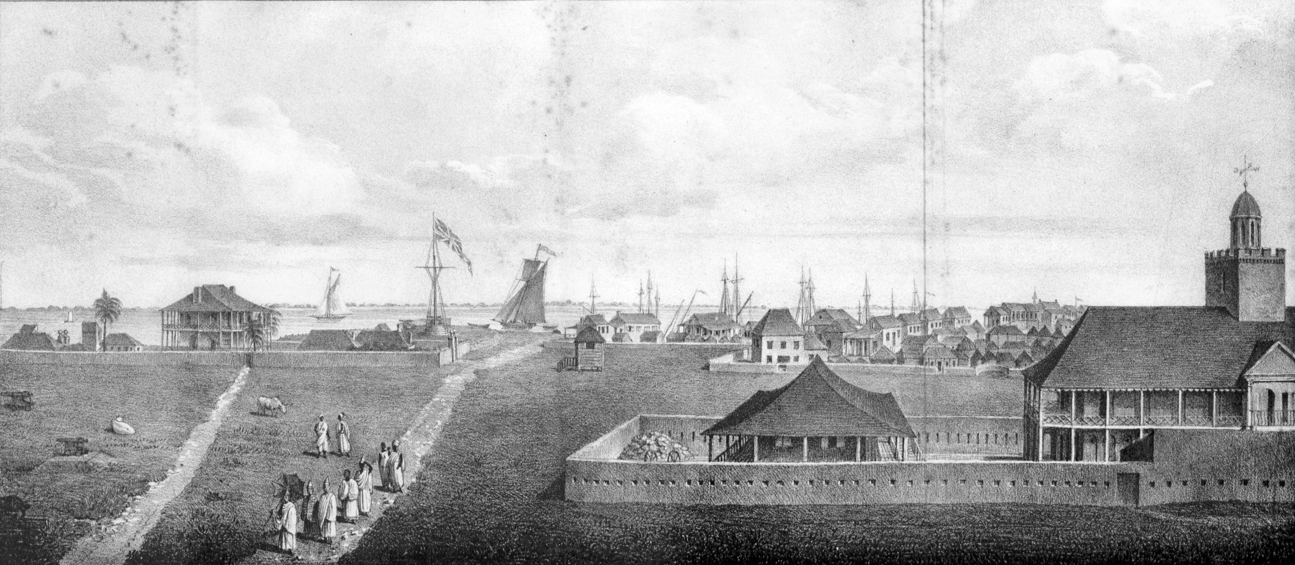
Banjul (,"Banjul" (US) and ), officially the City of Banjul, is the capital and fourth largest city of . It is the centre of the eponymous administrative division which is home to an estimated 400,000 residents, making it The Gambia's largest and most densely populated metropolitan area. Banjul is on St Mary's Island (Banjul Island), where the enters the < ... [...More Info...] [...Related Items...] OR: [Wikipedia] [Google] [Baidu] |
War Office
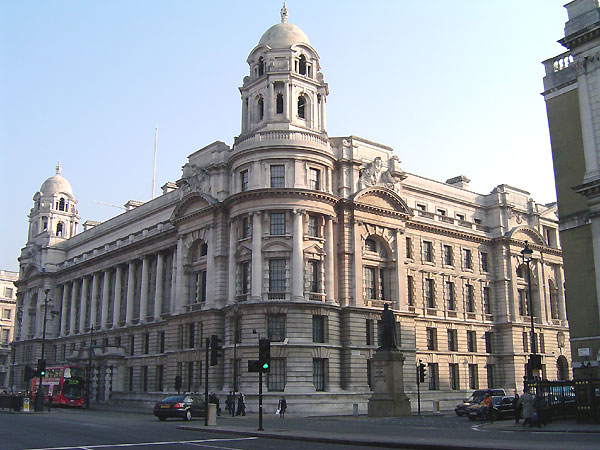
The War Office was a department of the British Government responsible for the administration of the British Army between 1857 and 1964, when its functions were transferred to the new Ministry of Defence (MoD). This article contains text from this source, which is available under th Open Government Licence v3.0 © Crown copyright It was equivalent to the Admiralty, responsible for the Royal Navy (RN), and (much later) the Air Ministry, which oversaw the Royal Air Force (RAF). The name 'War Office' is also given to the former home of the department, located at the junction of Horse Guards Avenue and Whitehall in central London. The landmark building was sold on 1 March 2016 by HM Government for more than £350 million, on a 250 year lease for conversion into a luxury hotel and residential apartments. Prior to 1855, 'War Office' signified the office of the Secretary at War. In the 17th and 18th centuries, a number of independent offices and individuals were re ... [...More Info...] [...Related Items...] OR: [Wikipedia] [Google] [Baidu] |
Kuntaur
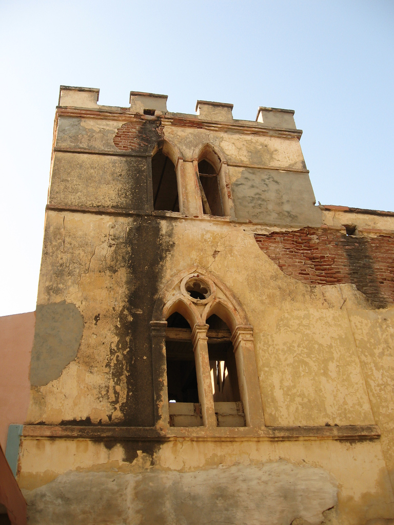
Kuntaur is a town located in central part of the Gambia. According to the 2013 census, there are 3074 inhabitants. The town is the seat of the Kuntaur Local Government Area (the western half of the former Central River Division), which has a population of 98,966. Geography Kuntaur lies on the north bank of the Gambia River, about three kilometres south of Wassu and 13 kilometres north of Janjanbureh. The North Bank Road, an important highway crosses Wassu, where the well-known Wassu stone circles are located. The town is the seat of the eponymous Local Government Area, in the district of Niani, Cultural sights The Senegambian stone circles which are regarded as a place of worship among the Serer are not far from the area.Meagher, Allen (pub), ''Historic sites of The Gambia. Ada Dinkiralu (Mandinka), Bereb-I-Chosan (Wolof), Tarica Tawal (Fula), Nannin (Jola), Soninke Ada (Serehuli), I-Mofan Chosan (Serer). An official guide to the monuments and sites of The Gambia.'' National ... [...More Info...] [...Related Items...] OR: [Wikipedia] [Google] [Baidu] |
Maurel & Prom
Maurel & Prom is an oil company specialising in the production of hydrocarbons. It is listed on Euronext Paris and has its registered office in Paris. The Group generates most of its business in Africa through the exploitation of onshore production assets (in Gabon and Tanzania) and a significant stake in SEPLAT, one of Nigeria’s leading indigenous operators. Since 16 February 2017 Maurel & Prom has been backed by PIEP, a subsidiary of oil company Pertamina, and aims to become the international development platform for the upstream activities of Pertamina and PIEP. Historically, Maurel & Prom was based in Bordeaux and was one of France's largest family-run shipping and foreign trade houses. It had trading interests throughout the French colonial empire, which included trading houses in Saint-Louis, Senegal, and modern Guinea, Gambia, Mali and Ivory Coast. The company changed its focus to agribusiness Agribusiness is the industry, enterprises, and the field of study of val ... [...More Info...] [...Related Items...] OR: [Wikipedia] [Google] [Baidu] |
Senegal
Senegal,; Wolof: ''Senegaal''; Pulaar: 𞤅𞤫𞤲𞤫𞤺𞤢𞥄𞤤𞤭 (Senegaali); Arabic: السنغال ''As-Sinighal'') officially the Republic of Senegal,; Wolof: ''Réewum Senegaal''; Pulaar : 𞤈𞤫𞤲𞤣𞤢𞥄𞤲𞤣𞤭 𞤅𞤫𞤲𞤫𞤺𞤢𞥄𞤤𞤭 (Renndaandi Senegaali); Arabic: جمهورية السنغال ''Jumhuriat As-Sinighal'') is a country in West Africa, on the Atlantic Ocean coastline. Senegal is bordered by Mauritania to the north, Mali to the east, Guinea to the southeast and Guinea-Bissau to the southwest. Senegal nearly surrounds the Gambia, a country occupying a narrow sliver of land along the banks of the Gambia River, which separates Senegal's southern region of Casamance from the rest of the country. Senegal also shares a maritime border with Cape Verde. Senegal's economic and political capital is Dakar. Senegal is notably the westernmost country in the mainland of the Old World, or Afro-Eurasia. It owes its name to the ... [...More Info...] [...Related Items...] OR: [Wikipedia] [Google] [Baidu] |
Banjul Ferry
Banjul (,"Banjul" (US) and ), officially the City of Banjul, is the and fourth largest city of . It is the centre of the eponymous administrative division which is home to an estimated 400,000 residents, making it The Gambia's largest and most densely populated . Banjul is on St Mary's Island (Banjul Island), where the |
Gambia Ports Authority
The Gambia Ports Authority (GPA) is a government agency responsible for the governance and maintenance of the ports and port facilities of the Gambia, principally that of the Port of Banjul on the Gambia River. The GPA was founded in 1972 and it is a member of the Port Management Association of West and Central Africa. Ports Authority offices are in Banjul. Principal facilities include the Banjul Wharf and the New Banjul Jetty and Extension; a container terminal, freight terminal, bonded warehouse complex, oil boom, workshops and a document handling centre. Expansion plans include jetty expansion; a new ferry terminal and head office building; new computer cabling and a new car and truck terminal area. The Ports Authority sponsors Gambia Ports Authority F.C., a Banjul-based football team of the Gambian Championnat National D1. See also *Harbor *Port operator * Port authority *Transport in the Gambia The system of transportation in the Gambia mixes both public and private ... [...More Info...] [...Related Items...] OR: [Wikipedia] [Google] [Baidu] |


