|
StudSat Consortium
STUDSAT (STUDent SATellite), is a CubeSat satellite designed by students. This project was conceptualised and project managed by undergraduate students across India. STUDSAT is a picosatellite successfully launched on 12 July 2010 from Satish Dhawan Space Centre into a Sun-synchronous orbit. The mission's objective was for students to have a hands-on experience with the design, fabrication and realisation of a space mission at a minimum cost. Experimental in nature, the mission life was stated to be six months. STUDSAT was the first picosatellite launched by India, as well as the smallest satellite launched indigenously by any Indian organisation. History The project was initiated by a group of four students from different Engineering colleges of Hyderabad and Bangalore who attended International Astronautical Congress (IAC), 2007, Hyderabad, India after meeting Mr. D. V. A. Raghavamurthy (project director, Small Satellites, ISRO Satellite Centre) at the congress. Fro ... [...More Info...] [...Related Items...] OR: [Wikipedia] [Google] [Baidu] |
Remote Sensing
Remote sensing is the acquisition of information about an object or phenomenon without making physical contact with the object, in contrast to in situ or on-site observation. The term is applied especially to acquiring information about Earth and other planets. Remote sensing is used in numerous fields, including geography, land surveying and most Earth science disciplines (e.g. hydrology, ecology, meteorology, oceanography, glaciology, geology); it also has military, intelligence, commercial, economic, planning, and humanitarian applications, among others. In current usage, the term ''remote sensing'' generally refers to the use of satellite- or aircraft-based sensor technologies to detect and classify objects on Earth. It includes the surface and the atmosphere and oceans, based on propagated signals (e.g. electromagnetic radiation). It may be split into "active" remote sensing (when a signal is emitted by a satellite or aircraft to the object and its reflection detected by ... [...More Info...] [...Related Items...] OR: [Wikipedia] [Google] [Baidu] |
Ramaiah Institute Of Technology
Ramaiah Institute of Technology (RIT), formerly known as M.S. Ramaiah Institute of Technology (MSRIT), is an autonomous private engineering college located in Bangalore in the Indian state of Karnataka. Established in 1962, the college is affiliated to Visvesvaraya Technological University. History RIT was founded, in 1962, by the late M. S. Ramaiah, who was an educationist, philanthropist, and infrastructure visionary. RIT is a part of Gokula Education Foundation (GEF) which owns and manages several educational institutions across various streams. The foundation also runs a Multi Speciality Hospital. RIT was the first institute started by the Gokula Education Foundation. Administration M. R. Seetharam, a son of M. S. Ramaiah, currently heads the college management as a director. The autonomy given to the institute by the government is only for academic matters. The governing council of the college includes two principals of other colleges, one bureaucrat from state gover ... [...More Info...] [...Related Items...] OR: [Wikipedia] [Google] [Baidu] |
ISRO
The Indian Space Research Organisation (ISRO; ) is the national space agency of India, headquartered in Bengaluru. It operates under the Department of Space (DOS) which is directly overseen by the Prime Minister of India, while the Chairman of ISRO acts as the executive of DOS as well. ISRO is India's primary agency for performing tasks related to space-based applications, space exploration and the development of related technologies. It is one of six government space agencies in the world which possess full launch capabilities, deploy cryogenic engines, launch extraterrestrial missions and operate large fleets of artificial satellites. The Indian National Committee for Space Research (INCOSPAR) was established by Jawaharlal Nehru under the Department of Atomic Energy (DAE) in 1962, on the urging of scientist Vikram Sarabhai, recognising the need in space research. INCOSPAR grew and became ISRO in 1969, within DAE. In 1972, the government of India set up a Space Commissio ... [...More Info...] [...Related Items...] OR: [Wikipedia] [Google] [Baidu] |
Ground Station
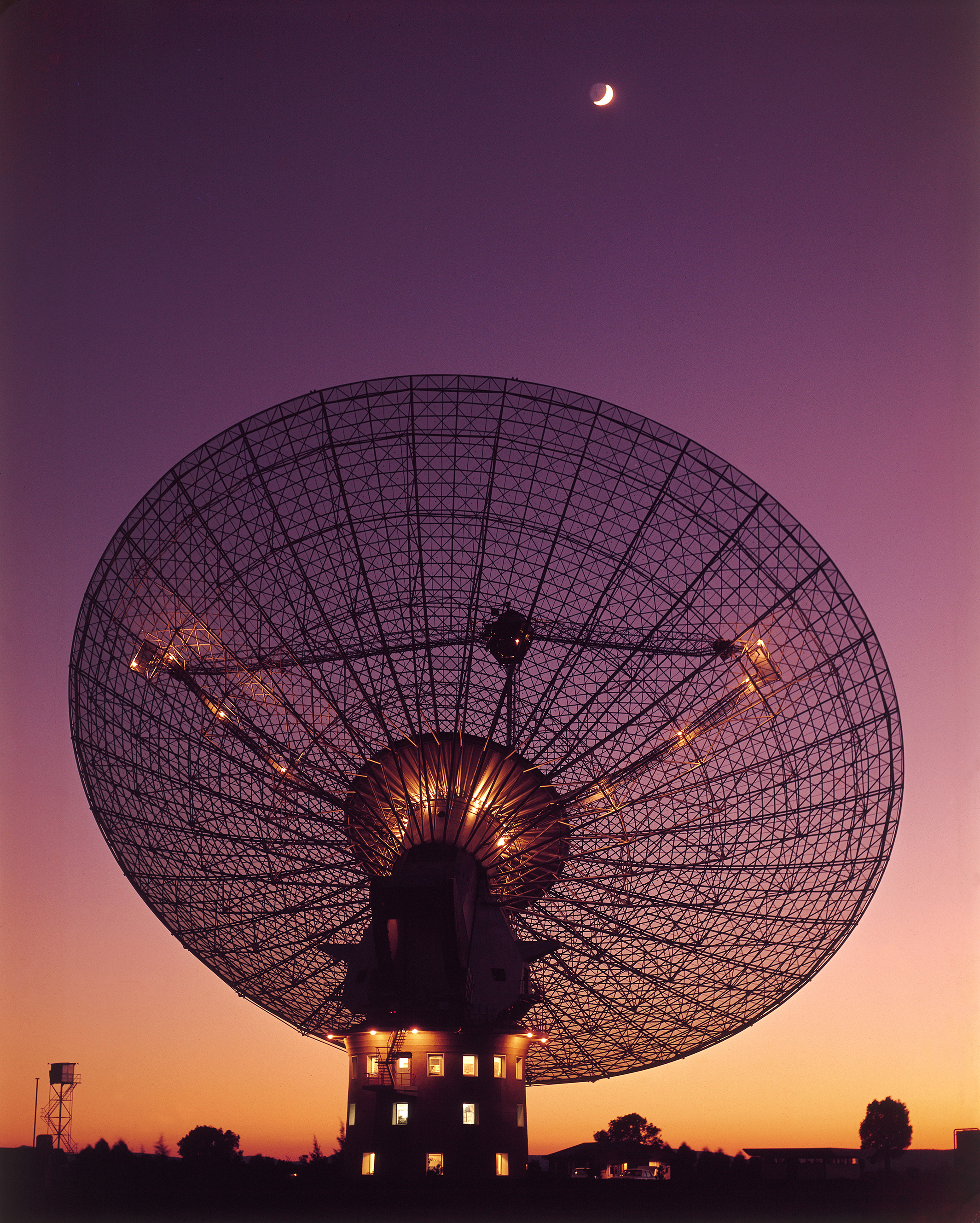
A ground station, Earth station, or Earth terminal is a terrestrial radio station designed for extraplanetary telecommunication with spacecraft (constituting part of the ground segment of the spacecraft system), or reception of radio waves from astronomical radio sources. Ground stations may be located either on the surface of the Earth, or in its atmosphere. Earth stations communicate with spacecraft by transmitting and receiving radio waves in the super high frequency (SHF) or extremely high frequency (EHF) bands (e.g. microwaves). When a ground station successfully transmits radio waves to a spacecraft (or vice versa), it establishes a telecommunications link. A principal telecommunications device of the ground station is the parabolic antenna. Ground stations may have either a fixed or itinerant position. Article 1 § III of the International Telecommunication Union (ITU) Radio Regulations describes various types of stationary and mobile ground stations, and their interre ... [...More Info...] [...Related Items...] OR: [Wikipedia] [Google] [Baidu] |
Payload (air And Space Craft)
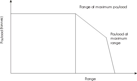
Payload is the object or the entity which is being carried by an aircraft or launch vehicle. Sometimes payload also refers to the carrying capacity of an aircraft or launch vehicle, usually measured in terms of weight. Depending on the nature of the flight or mission, the payload of a vehicle may include cargo, passengers, flight crew, munitions, scientific instruments or experiments, or other equipment. Extra fuel, when optionally carried, is also considered part of the payload. In a commercial context (i.e., an airline or air freight carrier), payload may refer only to revenue-generating cargo or paying passengers. A payload of ordnance carried by a combat aircraft is sometimes alternatively referred to as the aircraft's warload. For a rocket, the payload can be a satellite, space probe, or spacecraft carrying humans, animals, or cargo. For a ballistic missile, the payload is one or more warheads and related systems; their total weight is referred to as the throw-weight. The ... [...More Info...] [...Related Items...] OR: [Wikipedia] [Google] [Baidu] |
On Board Data Handling
The on-board data handling (OBDH) subsystem of a spacecraft is the subsystem which carries and stores data between the various electronics units and the ground segment, via the telemetry, tracking and command (TT&C) subsystem. In the earlier decades of the space industry, the OBDH function was usually considered a part of the TT&C, particularly before computers became common on board. In recent years, the OBDH function has expanded, so much that it is generally considered a separate subsystem to the TT&C, which is these days concerned solely with the RF link between the ground and the spacecraft. Functions commonly performed by the OBDH are: * Reception, error correction and decoding of telecommands (TCs) from the TT&C * Forwarding of telecommands for execution by the target Avionics * Storage of telecommands until a defined time ('time tagged' TCs) * Storage of telecommands until a defined position ('position tagged' TCs) * Measurement of discrete values such as voltages, tem ... [...More Info...] [...Related Items...] OR: [Wikipedia] [Google] [Baidu] |
Attitude Dynamics And Control
Attitude control is the process of controlling the orientation of an aerospace vehicle with respect to an inertial frame of reference or another entity such as the celestial sphere, certain fields, and nearby objects, etc. Controlling vehicle attitude requires sensors to measure vehicle orientation, actuators to apply the torques needed to orient the vehicle to a desired attitude, and algorithms to command the actuators based on (1) sensor measurements of the current attitude and (2) specification of a desired attitude. The integrated field that studies the combination of sensors, actuators and algorithms is called guidance, navigation and control (GNC). Aircraft attitude control An aircraft's attitude is stabilized in three directions: '' yaw'', nose left or right about an axis running up and down; ''pitch'', nose up or down about an axis running from wing to wing; and ''roll'', rotation about an axis running from nose to tail. Elevators (moving flaps on the horizontal tai ... [...More Info...] [...Related Items...] OR: [Wikipedia] [Google] [Baidu] |
Image Resolution
Image resolution is the detail an image holds. The term applies to digital images, film images, and other types of images. "Higher resolution" means more image detail. Image resolution can be measured in various ways. Resolution quantifies how close lines can be to each other and still be visibly ''resolved''. Resolution units can be tied to physical sizes (e.g. lines per mm, lines per inch), to the overall size of a picture (lines per picture height, also known simply as lines, TV lines, or TVL), or to angular subtense. Instead of single lines, line pairs are often used, composed of a dark line and an adjacent light line; for example, a resolution of 10 lines per millimeter means 5 dark lines alternating with 5 light lines, or 5 line pairs per millimeter (5 LP/mm). Photographic lens and film resolution are most often quoted in line pairs per millimeter. Types The resolution of digital cameras can be described in many different ways. Pixel count The term ''resolution'' is o ... [...More Info...] [...Related Items...] OR: [Wikipedia] [Google] [Baidu] |
Earth
Earth is the third planet from the Sun and the only astronomical object known to harbor life. While large volumes of water can be found throughout the Solar System, only Earth sustains liquid surface water. About 71% of Earth's surface is made up of the ocean, dwarfing Earth's polar ice, lakes, and rivers. The remaining 29% of Earth's surface is land, consisting of continents and islands. Earth's surface layer is formed of several slowly moving tectonic plates, which interact to produce mountain ranges, volcanoes, and earthquakes. Earth's liquid outer core generates the magnetic field that shapes the magnetosphere of the Earth, deflecting destructive solar winds. The atmosphere of the Earth consists mostly of nitrogen and oxygen. Greenhouse gases in the atmosphere like carbon dioxide (CO2) trap a part of the energy from the Sun close to the surface. Water vapor is widely present in the atmosphere and forms clouds that cover most of the planet. More solar e ... [...More Info...] [...Related Items...] OR: [Wikipedia] [Google] [Baidu] |
Tumkur
Tumkur, officially renamed as Tumakuru, is a city located in the southern part of Indian state of Karnataka. Tumkur is situated at a distance of northwest of Bangalore, the state capital along NH 48 and NH 73. It is the headquarters of the Tumkur district. It is located at an altitude of 835 m (2739.5 ft). Tumkur hosts India's first mega food park, a project of the ministry of food processing. The India Food Park was inaugurated by Prime Minister Narendra Modi in September 2014. Tumkur is also included in the Smart Cities Mission list and is among the 100 smart cities to be developed in India. Since 28 August 2010, Tumkur has been accorded the status of a city corporation. Etymology Etymologically, the name of the city is believed to have been mutated possibly from "Tumbe ooru" because of the abundance of thumbe hoovu, a kind of flower, or thamate ooru because of the folk musical percussion instrument thamate, that might have been used most here. It is also calle ... [...More Info...] [...Related Items...] OR: [Wikipedia] [Google] [Baidu] |
Sri Siddhartha Institute Of Technology
Sri Siddhartha Institute of Technology (SSIT) is a university located in Tumkur, Karnataka, India. Sri Siddhartha Institute of Technology was established by the Siddhartha Education Society. History SSIT is managed by the Sri Siddhartha Education Society, which was founded in 1979. The late Sri H.M. Gangadharaiah, a staunch Gandhian and Buddhist, established the Sri Siddhartha Education Society in 1979 with the blessings of the father of Bhoodhan movement, "Saint Vinobha Bhave," with the objective of providing education to the student community from rural areas and backward classes. Since then it is led by Dr. G. Shivaprasad, an ophthalmologist and Dr. G. Parameshwara, a doctorate in agriculture from Australia. SSES has 84 educational establishments under its aegis spread across the southern part of Karnataka, including * Engineering College - Sri Siddhartha Institute of Technology * Medical College - Sri Siddhartha Medical College * Dental College - Sri Siddhartha Dent ... [...More Info...] [...Related Items...] OR: [Wikipedia] [Google] [Baidu] |
RNS Institute Of Technology
RNS Institute of Technology is a private tier-3 engineering college and is located in Bangalore, India. The college is affiliated to Visvesvaraya Technological University. Rama Nagappa Shetty Institute of Technology (RNSIT) established in the year 2001, is the brain-child of the Group Chairman, Dr. R. N. Shetty. See also * List of colleges affiliated to Visvesvaraya Technological University There are 219 engineering colleges affiliated to Visvesvaraya Technological University (VTU), which is in Belgaum in the state of Karnataka, India. This list is categorised into two parts, autonomous colleges and non-autonomous colleges. Autonomo ... References {{DEFAULTSORT:RNS Institute of Technology Engineering colleges in Bangalore All India Council for Technical Education Affiliates of Visvesvaraya Technological University ... [...More Info...] [...Related Items...] OR: [Wikipedia] [Google] [Baidu] |


