|
Strathfield Railway Station
Strathfield railway station is a heritage-listed railway station located on the Main Suburban line in the Sydney suburb of Strathfield in the Municipality of Strathfield local government area of New South Wales, Australia. The station is served by Sydney Trains T1 North Shore & Western Line, T9 Northern Line and T2 Inner West & Leppington Line suburban services as well as NSW TrainLink Intercity and regional services. The station is located on the Main Northern and Main Western railway lines, forming a major junction for regional and suburban rail services. The station and associated infrastructure was added to the New South Wales State Heritage Register on 2 April 1999. History Strathfield suburb This suburb, extending from Concord Plains to the Cooks River, was part of the area known (early in the colony) as Liberty Plains, so called because the first free settlers received grants there. James Wilshire received in 1808 and called it Wilshire Farm - the grant lay bet ... [...More Info...] [...Related Items...] OR: [Wikipedia] [Google] [Baidu] |
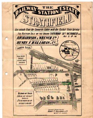
Strathfield
Strathfield is a suburb in the Inner West of Sydney, in the state of New South Wales, Australia. It is located 12 kilometres west of the Sydney central business district and is the administrative centre of the Municipality of Strathfield. A small section of the suburb north of the railway line lies within the City of Canada Bay, while the area east of The Boulevard lies within the Municipality of Burwood. North Strathfield and Strathfield South are separate suburbs to the north and south, respectively. History The Strathfield district lies between the Concord Plains to the north and the Cooks River to the south, and was originally occupied by the Wangal clan. European colonisation in present-day Strathfield commenced in 1793 with the issue of land grants in the area of "Liberty Plains", an area including present-day Strathfield as well as surrounding areas, where the first free settlers received land grants. In 1808, a grant was made to James Wilshire, which forms the larg ... [...More Info...] [...Related Items...] OR: [Wikipedia] [Google] [Baidu] |
Main North Railway Line, New South Wales
The Main North Line (also known as the Great Northern Railway) is a major railway in New South Wales, Australia. It runs through the Central Coast, Hunter and New England regions. The line was the original main line between Sydney and Brisbane, however this required a change of gauge at Wallangarra. As of 1988, the line closed progressively north of Armidale with services gradually withdrawn till 2004, with the main route between Sydney and Brisbane now the North Coast line. Description of route The line starts as a branch off the Main Suburban line at Strathfield in Sydney. The line heads north as a quadruple track electrified line to Rhodes, crossing the John Whitton Bridge over the Parramatta River as a double track line. At West Ryde the line again expands out to four tracks through to Epping. The line is then largely double track through the northern suburbs of Sydney, crossing the Hawkesbury River Railway Bridge, before passing through the Central Coast. At Fassife ... [...More Info...] [...Related Items...] OR: [Wikipedia] [Google] [Baidu] |
Duke Of Wellington
Arthur Wellesley, 1st Duke of Wellington, (1 May 1769 – 14 September 1852) was an Anglo-Irish soldier and Tory statesman who was one of the leading military and political figures of 19th-century Britain, serving twice as prime minister of the United Kingdom. He is among the commanders who won and ended the Napoleonic Wars when the coalition defeated Napoleon at the Battle of Waterloo in 1815. Wellesley was born in Dublin into the Protestant Ascendancy in Ireland. He was commissioned as an ensign in the British Army in 1787, serving in Ireland as aide-de-camp to two successive lords lieutenant of Ireland. He was also elected as a member of Parliament in the Irish House of Commons. He was a colonel by 1796 and saw action in the Netherlands and in India, where he fought in the Fourth Anglo-Mysore War at the Battle of Seringapatam. He was appointed governor of Seringapatam and Mysore in 1799 and, as a newly appointed major-general, won a decisive victory over the Maratha Con ... [...More Info...] [...Related Items...] OR: [Wikipedia] [Google] [Baidu] |
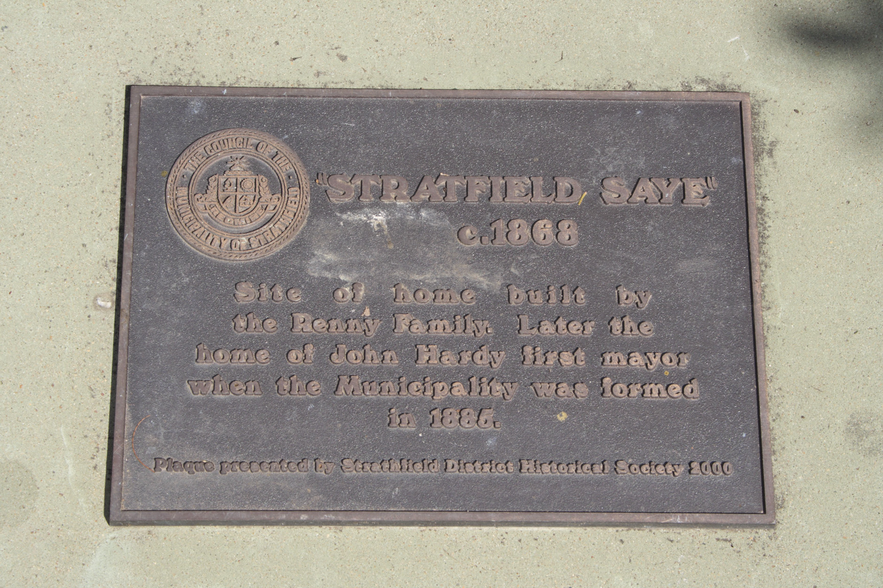
Stratfield Saye
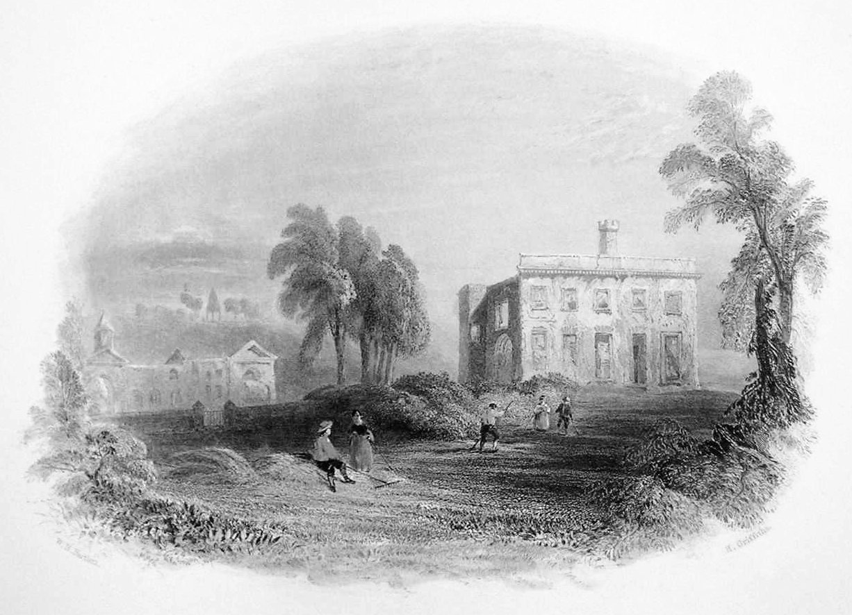
Stratfield Saye is a small village and civil parish in the Borough of Basingstoke and Deane and the English county of Hampshire. The parish includes the hamlets of West End Green, Fair Oak Green and Fair Cross. Etymology The name means 'Street-Field of the Saye family'. The street was the Devil's Highway, the Roman road from London to Calleva Atrebatum ( Silchester) which forms the northern parish boundary. Some older sources use the alternative spelling Strathfieldsaye, Stratford Saye, and Stratford Sea. Stratfield Saye House was built around 1630 as the Pitt family home, from fortunes made by Thomas "Diamond" Pitt. In the late 18th century the family were closely related to the Prime Ministers, William Pitt the Elder and William Pitt the Younger. It has been the home of the Dukes of Wellington since 1817. The church The parish church, near the house, is an unusual domed Georgian building with the plan of a Greek Cross. It contains memorials to the Barons Rivers and to mos ... [...More Info...] [...Related Items...] OR: [Wikipedia] [Google] [Baidu] |
North Yorkshire
North Yorkshire is the largest ceremonial counties of England, ceremonial county (lieutenancy area) in England, covering an area of . Around 40% of the county is covered by National parks of the United Kingdom, national parks, including most of the Yorkshire Dales and the North York Moors. It is one of four counties in England to hold the name Yorkshire; the three other counties are the East Riding of Yorkshire, South Yorkshire and West Yorkshire. North Yorkshire may also refer to a non-metropolitan county, which covers most of the ceremonial county's area () and population (a mid-2016 estimate by the Office for National Statistics, ONS of 602,300), and is administered by North Yorkshire County Council. The non-metropolitan county does not include four areas of the ceremonial county: the City of York, Middlesbrough, Redcar and Cleveland and the southern part of the Borough of Stockton-on-Tees, which are all administered by Unitary authorities of England, unitary authorities. ... [...More Info...] [...Related Items...] OR: [Wikipedia] [Google] [Baidu] |
Samuel Terry (politician)
Samuel Henry Terry (9 April 1833 – 21 September 1887) was an Australian politician. He was born at Box Hill to landowner John Terry and Eleanor Rouse. He entered a counting house at a young age to learn business, but in 1842 inherited his father's property at Box Hill, in addition to 5,000 acres on the Yass Plains. He bought up extensive suburban real estate in Sydney and also owned property in Queensland and New Zealand. On 13 May 1856 he married Clementina Parker Want, with whom he had two children; a second marriage on 12 September 1863 to Jane Weaver produced a further three children. In 1859 he was elected to the New South Wales Legislative Assembly for Mudgee. He served until he was defeated in 1869, but he was returned for New England in 1871. He served until he resigned in 1881 (having transferred back to Mudgee in 1880), and in 1882 he was appointed to the New South Wales Legislative Council, where he served until his death at Ashfield in 1887. See also *Hunti ... [...More Info...] [...Related Items...] OR: [Wikipedia] [Google] [Baidu] |
Flemington, New South Wales
Flemington is a locality within the suburb of Homebush West in the Inner West of Sydney, in the state of New South Wales, Australia. Flemington is located 16 kilometres west of the Sydney central business district, in the local government area of the Municipality of Strathfield. The locality of Flemington has its own postcode (2129), separate from the remainder of Homebush West. It is entirely occupied by the Sydney Markets complex and its supporting infrastructure and has no residential population. "Flemington" was formerly the name of the whole suburb, and even today Homebush West as a whole is commonly referred to as "Flemington", even in official contexts. Commercial area Flemington is devoted to commercial developments. The area between Flemington railway station and Parramatta Road is the site of Sydney Markets. The markets feature a number of divisions including Produce, Flowers, Growers, Fresh Food, Motor, Swap & Sell, Paddy's Markets and Sydney Markets Plaza. Sydney ... [...More Info...] [...Related Items...] OR: [Wikipedia] [Google] [Baidu] |
Hume Highway
Hume Highway, inclusive of the sections now known as Hume Freeway and Hume Motorway, is one of Australia's major inter-city national highways, running for between Melbourne in the southwest and Sydney in the northeast. Upgrading of the route from Sydney's outskirts to Melbourne's outskirts to dual carriageway was completed on 7 August 2013. From north to south, the road is called Hume Highway in metropolitan Sydney, Hume Motorway between the Cutler Interchange and Berrima, Hume Highway elsewhere in New South Wales and Hume Freeway in Victoria. It is part of the Auslink National Network and is a vital link for road freight to transport goods to and from the two cities as well as serving Albury-Wodonga and Canberra. Route At its Sydney end, Hume Highway begins at Parramatta Road, in Ashfield. This route is numbered as A22. The first of the highway was known as Liverpool Road until August 1928, when it was renamed as part of Hume Highway, as part of the creation of the N ... [...More Info...] [...Related Items...] OR: [Wikipedia] [Google] [Baidu] |
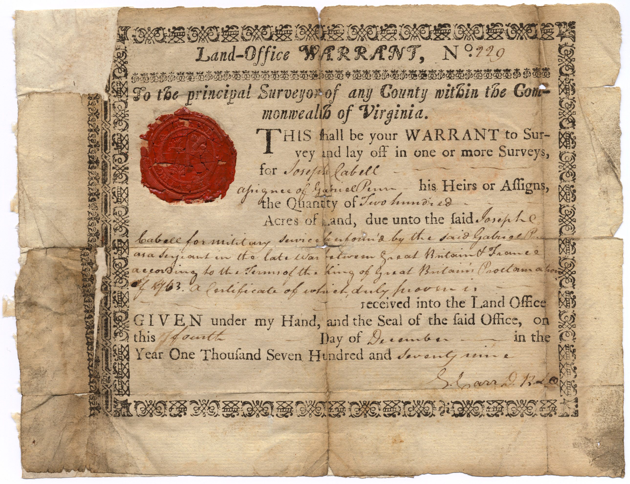
Land Grant
A land grant is a gift of real estate—land or its use privileges—made by a government or other authority as an incentive, means of enabling works, or as a reward for services to an individual, especially in return for military service. Grants of land are also awarded to individuals and companies as incentives to develop unused land in relatively unpopulated countries; the process of awarding land grants are not limited to the countries named below. The United States historically gave out numerous land grants as Homesteads to individuals desiring to prove a farm. The American Industrial Revolution was guided by many supportive acts of legislatures (for example, the Main Line of Public Works legislation of 1826) promoting commerce or transportation infrastructure development by private companies, such as the Cumberland Road turnpike, the Lehigh Canal, the Schuylkill Canal and the many railroads that tied the young United States together. Ancient Rome Roman soldiers were given pe ... [...More Info...] [...Related Items...] OR: [Wikipedia] [Google] [Baidu] |
Cooks River
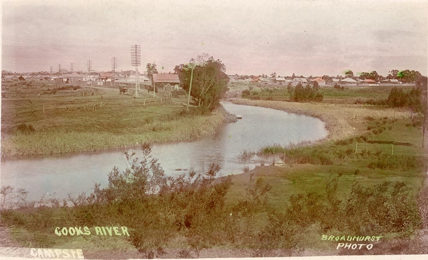
The Cooks River, a semi-mature tide-dominated drowned valley estuary, is a tributary of Botany Bay, located in south-eastern Sydney, New South Wales, Australia. The course of the long urban waterway has been altered to accommodate various developments along its shore. It serves as part of a stormwater system for the of its watershed, and many of the original streams running into it have been turned into concrete lined channels. The tidal sections support significant areas of mangroves, bird, and fish life, and are used for recreational activities. Course The river begins at Graf Park, Yagoona, then flows in a roughly north-easterly direction to Chullora. It reaches its northernmost point at Strathfield, where it leads into a concrete open canal, no more than one metre wide and thirty centimetres deep. It then heads towards the south-east. Where Cooks River runs through Strathfield Golf Course, the concrete lining has been partly removed. Here the plants have returned and hav ... [...More Info...] [...Related Items...] OR: [Wikipedia] [Google] [Baidu] |
Concord, New South Wales
Concord is a suburb in the inner West of Sydney, in the state of New South Wales, Australia. It is west of the Sydney central business district, in the Local government in Australia, local government area of the City of Canada Bay. People from Concord are colloquially called Concordiens. Concord West, New South Wales, Concord West is a separate suburb, to the north-west. History Concord takes its name from Concord, Massachusetts, in the United States, USA, which was the site of the Battles of Lexington and Concord, Battle of Concord, one of the first military engagements of the American Revolutionary War (1775–1778). Some historians believe the Sydney suburb was named Concord to encourage a peaceful attitude between soldiers and settlers. The first land grants in the area were made in 1793. The original Concord Council was established in 1883. Concord Council amalgamated with Drummoyne Council in 2000 after 117 years of self governance to form the City of Canada Bay. It is ... [...More Info...] [...Related Items...] OR: [Wikipedia] [Google] [Baidu] |
Strathfield Station Aerial
Strathfield is a suburb in the Inner West of Sydney, in the state of New South Wales, Australia. It is located 12 kilometres west of the Sydney central business district and is the administrative centre of the Municipality of Strathfield. A small section of the suburb north of the railway line lies within the City of Canada Bay, while the area east of The Boulevard lies within the Municipality of Burwood. North Strathfield and Strathfield South are separate suburbs to the north and south, respectively. History The Strathfield district lies between the Concord Plains to the north and the Cooks River to the south, and was originally occupied by the Wangal clan. European colonisation in present-day Strathfield commenced in 1793 with the issue of land grants in the area of "Liberty Plains", an area including present-day Strathfield as well as surrounding areas, where the first free settlers received land grants. In 1808, a grant was made to James Wilshire, which forms the largest pa ... [...More Info...] [...Related Items...] OR: [Wikipedia] [Google] [Baidu] |



_Distances.gif)
St_Lukes_Anglican_Church_Concord-2.jpg)
